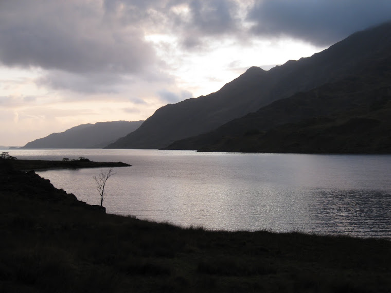
View from Oban Bothy

View from Oban Bothy

Wednesday 9 March 2016

LEJOG, Oh the wind and rain

P1060215 - CopyP1060203 - Copy

P1060205 - Copy

P1060213 - CopyP1060218 - Copy

P1060223 - Copy

P1060222 - Copy

P1060221 - Copy


It was definitely a good move to stay at Penzance YHA last night. This morning the roads were littered with bits of tree and other detritus. Aktos are very good but last night's storms would certainly have tested it's mettle.

At 10am the winds were still far too strong to cycle, forget about cycling safely. So strong were the gusts that it was difficult to stand at times.

I went with Plan B: bus to Lands End and walk back to Penzance. To avoid camera shake from the wind (did I mention the strong wind?) I took photographs with my camera set to 'Sports Mode' ie: a fast shutter speed.

At Lands End the sea was quite spectacular, waves were crashing like nobody's business. A light aircraft flew over, it seemed to be almost travelling sideways - I'm rather pleased that I wasn't on board.

There were a few people tottering around Lands End itself but nobody was following the SWCP, opting instead for the safer inland footpaths and roads.

I was keen to visit the Telegraph Museum at Porthcurno, I quite fancied a play with their radio station - although I hadn't thought to bring my Amateur Radio Licence with me.....doh.

Unfortunately the museum was closed, shut, and not open either. That was the end of that then.

Never mind, a pint in the pub opposite would be reasonable consolation... well it would have been had it been open. Ho hum.

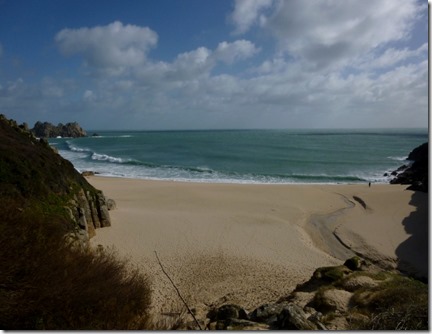
The beach at Porthcurno was quite beautiful, bathed in sunshine but whipped by an icy gale....there's that wind again.

The rest of the walk back was unremarkable, mainly because I was following minor roads. I've walked the coastal path before and that would have been a far more attractive proposition - had it not been for the wind.

I arrived back in Penzance around mid afternoon (I'd forgotten how lumpy Cornwall was) and still blowing an ice-cold hoolie.

Plan B rev1.0: head to Wetherspoon's, drink coffee and eat cake (twurly for a beer, even for me) and review my position.

The review resulted in Plan B rev1.1: stay another night in Penzance and head off early in the morning. I'm behind schedule but it matters not - as long as I'm home in good time to play a ceilidh on 19th March.

So that's it, 10 miles covered and around 40 miles behind schedule - but plenty of opportunity to catch up.

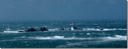
There are some rather poor photographs included - apart from a close-up of Longships Lighthouse, a mile or so off Lands End. That photograph came from Geograph, via Wikipedia.
Tuesday 8 March 2016

LEJOG, In the beginning....

At Navigation Road Station, Timperley

A long day involving a bit of cycling and lots of trains (4) saw my arrival in Penzance at 18.04 precisely.

This evening's Plan was to cycle to Lands End and stealth camp but the weather has worsened..... and it's going to get worsener still overnight, with 55-60mph winds and heavy rain forecast.

Quincyquontly I've booked into Penzance YHA for the night. The forecast isn't brilliant for tomorrow so Plan B is to go to Lands End by bus and walk back to the hostel, it's only around 10 miles so I should be back at the hostel by around 1pm. I'll jump back on the bike and pedal off into the East.

Being as wot the wind will be from the West, and that I'll be travelling East I should be able to get a good few miles in before tea-time.... I might be a bit soggy and damp though.

I was going to hit the local Wetherspoons but I'll try to support the YHA by drinking some of their beers. The YHA is a charity after all, and charities should be supported.

Sunday 7 February 2016

Martin’s Muddy Meander

12 miles from the Leathers Smithy

Timperley Taxis, aka Martin & Sue, collected Long Suffering Rick and me on what was forecast to be the driest day of the weekend – not difficult, the previous day had been more than a little damp. A muddy walk was expected – and a muddy walk is wot we got.

Martin had put the word out that he was doing this walk and it was pleasing that around 14 walkers turned out to endure enjoy it. Unfortunately he’d left his paper maps at home but as this was quite familiar territory it really wasn’t a problem – he had his very clever phone with him anyway….we only took a few wrong turns!

We set off walking south from Ridgegate Reservoir, following a section of the Gritstone Trail. Not much mud…yet.

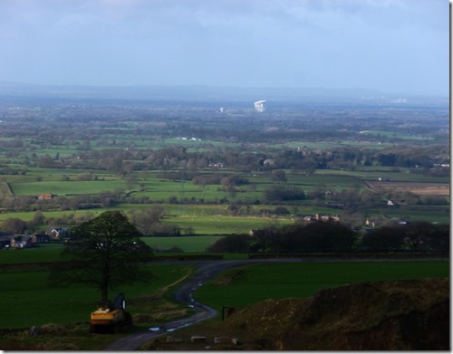
Along the Gritstone Trail towards Croker Hill we had grand views over the Cheshire Plain:

P1060165

Looking west to Jodrell Bank Radio Telescope

The mudlessness wasn’t to last, I was glad of my PacerPoles when we eventually hit the slippy, slimy brown stuff.

P1060166

First climb of the day

P1060167

Following the slutch

Leaving the Gritstone Trail just before the comms tower on Sutton Common, we headed west and downhill to our lunch spot.

P1060169

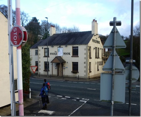
The plan was to have lunch at the picnic tables of the closed Fool’s Nook boozer but it wasn’t possible. A pleasant spot (ie not too muddy) was found by the Macclesfield Canal swing bridge, just across the road from the pub.

P1060170

Martin

Then followed 3 miles of relatively easy walking, north, along the Macc Canal towpath.

P1060171

Slutch on the Macclesfield Canal Towpath….

P1060172

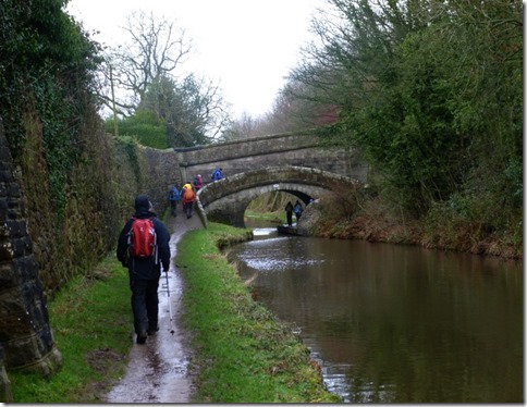
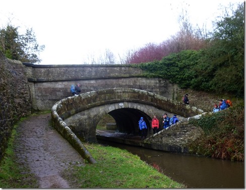
….then not much slutch at all. Swing bridge close to Lyme Green.

Then it started to rain, just a little earlier than the BBC had predicted. I was a bit worried that I might not have had my wetlegs with me, I’d just grabbed my bag without checking before setting out. No need to worry, they were lurking amongst the usual detritus that gathers at the bottom of a well-used pack.

P1060173

Approaching Macclesfield aka Silk Town, famous for, er, silk.

P1060175

P1060176

Sue modelling the latest rainwear

P1060177

Wellies may have been a better option…

P1060179

…or a mud sledge

P1060180


P1060181

Judith sprinting up the last climb of the day

Where we went:

Leathers Smithy 12 miles route

12-ish miles with around 1600’ of upness. And some mud. Non-FitBit steps: 25,400.

A grand day out – thanks to Timperley Taxis for organising it, arranging for good company and for providing yummy shortbread.

Martin has a far more detailed account here – along with much better photographs. In fact the quality of Martin’s images has got me considering a better quality compact camera. My Lumix DMC-SZ3 does the job but I could do with a compact with a better sensor and lens. Time to start looking again.

Friday 5 February 2016

A Katsouris Walk

Our standard(ish) Curry Walk route into Manchester to buy some bike bits.

It all began with text messages, first to Long Suffering Rick at stupid o’clock in the morning (I couldn’t sleep), the other to Martin at a rather more sensible hour: I had to go into Manchester, needed to get some exercise and I fancied a nice lunch out.
I’ve written up this route previously so just photographs and a few words:
P1060136
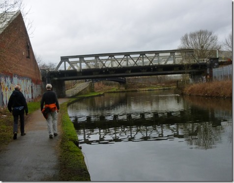
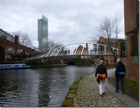
The graffiti along the Bridgewater Canal doesn’t quite match the standard of some on Martin’s blog
P1060138
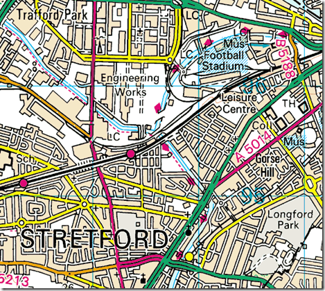
Waters Meeting, Trafford Park. Leigh and the Lancashire Coalfields to the left, Manchester city centre to the right. Map below.
image
P1060140
By the Trafford Park Freight Terminal. Old Trafford football ground is visible to the right of the picture
P1060142
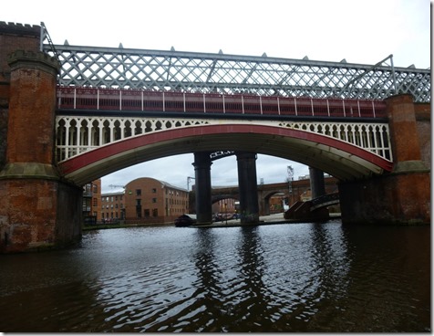
Throstle Nest Bridge
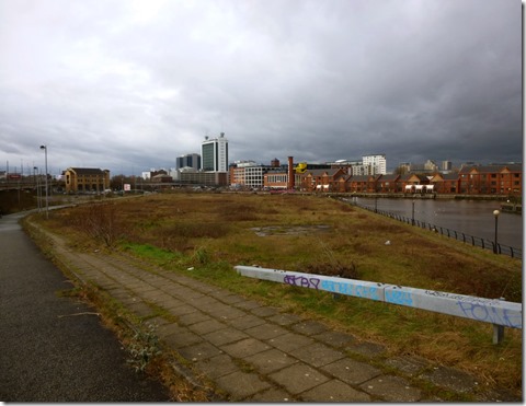
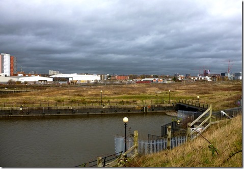
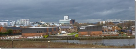
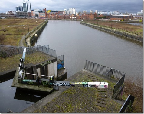
Pomona Island, picured below, is part of the former Salford Docks. It’s now likely to be redeveloped with a huge housing scheme – another of Peel Holding’s plans to extract as much dosh out their asset as possible. Local feelings are running high, most folk don’t want the area to be built on but to be tidied up and used as an inner city park. The local authority have a history of not objecting to any of Peel Holdings plans so locals have a battle on their hands.
In the 1970s and 1980s the dock was host to the North Westward-Ho!, a floating pubship that saw some success for many years – perhaps more as a novelty venue rather than a serious boozer. More information here on the excellent Pubs of Manchester blog.
The area is very much a waste-land but that has it’s attractions, it’s actively promoted as a filming location.
P1060143
P1060144
P1060145
P1060146
Towards the former Port of Manchester, now Salford Quays, home of Media City
P1060147
The Manchester Evening News have published an excellent selection of photographs of Salford docks and the Port of Manchester throughout the years, available to view online here.
P1060149
Looking north to Ordsall Hall, Salford,
P1060149a
Ordsall Hall
Ordsall (pr: ‘Oddsull’) Hall, Salford's Grade 1 listed Tudor manor house was first recorded in 1177. Since then, it has been home to medieval gentry, Tudor nobility, Catholics loyal to the crown, butchers, farmers, an Earl, an artist, priests, scout troops, mill workers, cows and several ghosts. So say the local council.
P1060150
Lock connecting the Bridgewater Canal to the Manchester Ship Canal
P1060151
P1060152
The building with the curved roof: YHA Manchester

P1060154
P1060157
P1060159
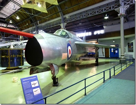
An early EE Lightning in the Museum of Science & Industry. More photos here.
P1060162
On Deansgate: Chopin on the Jo-Anna, trying to woo a lady-fair.
Action in Manchester was limited to a trip to Cotswold for Martin, to Evans Cycles for me, and the very excellent Katsouris on Deansgate for a ridiculously good value, and quite enormous lunch.
Thanks to Rick & Martin for coming along, it was good to get out for a bit of a stretch and to catch up.
Below is our route through Pomona Island
image

Total walking distance (door to door) around 10 miles, Ascent: negligible. Non-Fitbit Data: 19480 steps.

Tally-Ho! Whitworth Wander / Turkey Trot 2023

  Whitworth Wander – Turkey Trot, 27 th of a very wet December 2023 In memory of the late Brian Whitworth, a fine man, my friend, and a for...