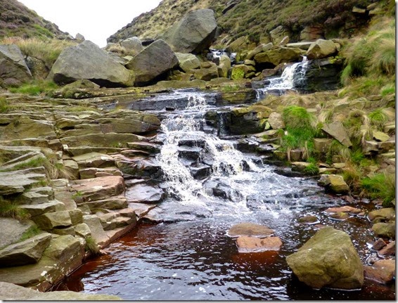
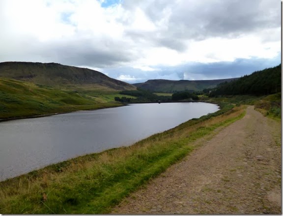
View from Oban Bothy

View from Oban Bothy

Sunday 29 December 2013

Saturday 16th November 2013, Running around Ramsbottom

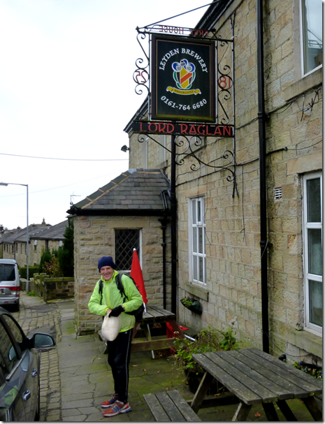
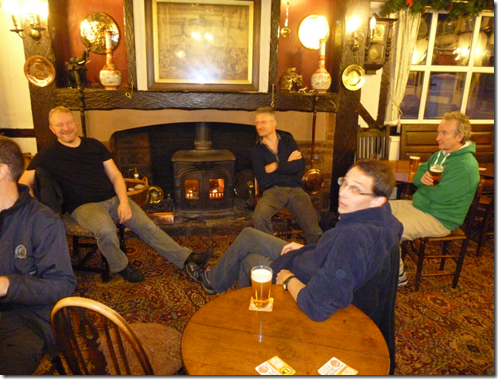
Twenty two members of The Cheshire Tally-Ho! Hare & Hounds Club and one invited guest runner gathered at the Lord Raglan, an establishment well-known for it's excellent Leyden Brewery. It was, of course, pure coincidence the Club had chosen this fine pub as a venue to run from.
image
The trail-layers shall remain nameless for fear of potential litigation, but both Blackshaw and Jocys had set off from the pub at 11am, armed with bags of sawdust, just for the hell of it.
image Fast Blackshaw, one of the nameless trail-layers
The traditional trail length of 8 miles wasn't quite adhered to, although the additional 1.7 miles didn't seem to cause THAT much of a problem to those fine members of the club who take their fitness very seriously. Both of them.
And anyway, 9.7 miles is the new 8 miles.
It should be pointed out that the original route was around 11.5 miles, but fearing a lynching and possible excommunication, the nameless trail-layers (Blackshaw & Jocys) thought it prudent to shorten the route. Unfortunately this had the effect of adding around 3/4 mile of tarmac to an otherwise green(ish) trail. Tarmac does not go down well with the members of the Tally-Ho!
imageJust for Alan 
Anyroadup, the sawdust trail led north from the pub, over tarmac for around half a mile but then over more traditional boggy, slippery ground that the Club is more used to. Fallen leaves concealed a treacherously slimy surface that caused many a member to curse as they descended to the bottom of the Irwell Valley. Swearing was reported to have been heard.
The more alert members of the Club may have seen a steam locomotive running on the East Lancs Railway line that followed the valley bottom. Those that didn't really should pay more attention.
image The East Lancs Railway – I wasn’t quick enough with my camera to catch the steam loco
Once past the railway the route started to climb. The busy A676 marked the beginning of another short section of tarmac – and civilisation. The residents of Ramsbottom had been forewarned and so they weren't surprised to see groups of well-disciplined runners all adhering the the Club's pack system. Oh well, next time....maybe.
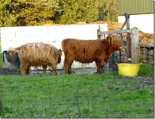
imageLancastrian Coos 
The route had so far been quiet, but crossing this busy road was more than a bit hairy. Unscathed, the runners sort of ran up a back street in Ramsbottom, religiously following the extremely well-laid trail. (Koff).
image
Then there were steps, loads of them. Up through a wood they went. Not as many steps as at trail from Sheldon, but steps. And steep 'uns at that. At the top of the steps Mark Taylor was seen to slow down, he had sensed the Shoulder of Mutton. Fortunately the rest of his pack dragged him past. Either that or he'd forgotten his money and nobody would stand him a pint.
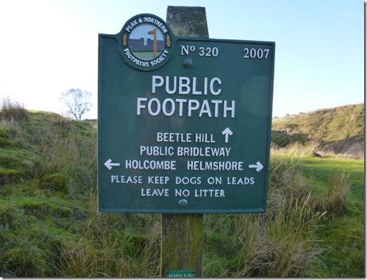
image
The trail now went north along Moor Lane, a pleasant track that afforded excellent views over Ramsbottom and the eastern side of the Irwell Valley. Apart from that damned wind farm:
image
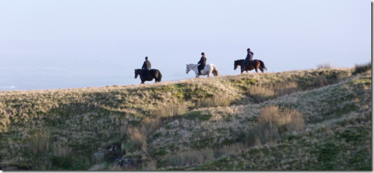
imageHacking on Holcombe Moor 
 
image
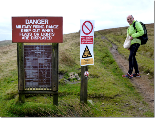
After 1.5 miles of gentle ascent the trail turned west for around 500 yds and suddenly the ascent wasn't gentle any more. Our heroic runners ran up onto Holcombe Moor, famous for soldiers waving red flags and shooting at each other. Fortunately this was the day that had to stay at home with their mums so it was safe. Well it was safe if you weren't John Wilson. He reckoned he'd tripped and fallen, resulting in cuts and bruises. That's what he told me, and why should I disbelieve him? He's a decent bloke after all. Isn't he?
The next couple of miles were without doubt the best of the route, the running was excellent and the views wonderful. It would have been very easy to trip up and fall flat on your face through not looking where you put your feet. If you weren't careful you could end up with a nasty cut on your face and multiple lacerations to your hands, sustained as you tried to arrest your tumble. It's just so easily done.
imagePilgrims Cross 
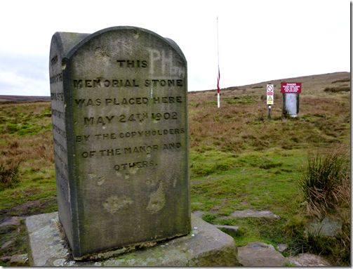
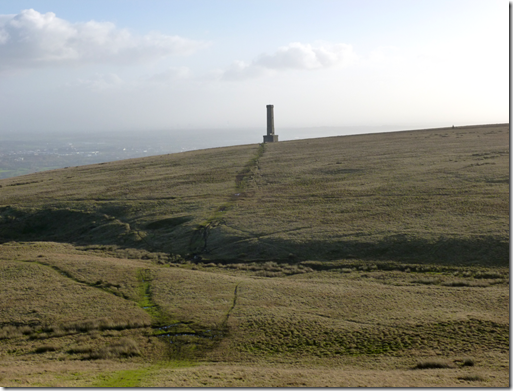
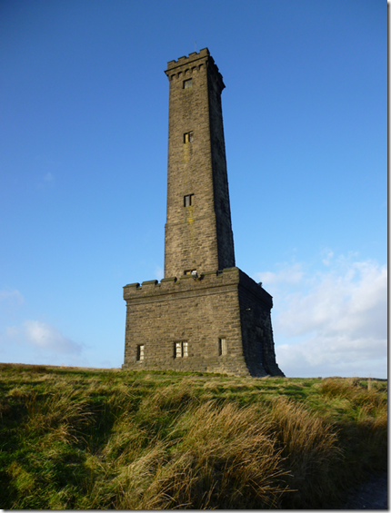
The trail turned south and followed good ground with not much mud or bog at all. It was in effect a ridge run, gently undulating and easy to trot along. The first point of interest was Pilgrim's Cross on White Hill, then over to Harcles Hill and eventually to Peel Tower where there were views over to Winter Hill, over Manchester – and even Shutlingsloe in the far distance.
image Peel Tower
image
The initial descent from Peel Tower was easy enough, good paths and pleasant fields. And then there came Redisher Woods.
image Benign-looking Redisher Woods….evilly steep and treacherously slippy
Reports of cursing and vulgarity were dismissed as being too far fetched, a bit of a steep descent was all in a day's running for these fine fellows. It was a mere hill after all. No members at all resorted to sliding down on their backsides, after all we're a Running Club, not a Sliding Club. Those finishing the run with muddy backsides probably just hadn't managed to wash their kit through from the last run.
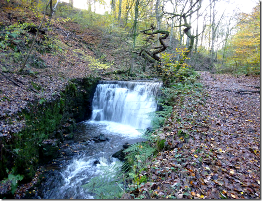
image
A bit more tarmac took us past the Hare & Hounds where a beer festival was under way. Taylor M missed this fact. And the pub. He'd not brought his money anyway.
P1000259
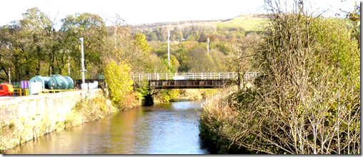
The route now followed part of the course of the Peel Walk towards Brooksbottom, just in time to see the East Lancs Railway vanish into a tunnel. A bridge took our gallant heroes back over the River Irwell and before long the trail was climbing once again, this time through slutchy mud, until....a bit more tarmac.
imageDropping down to the River Irwell 
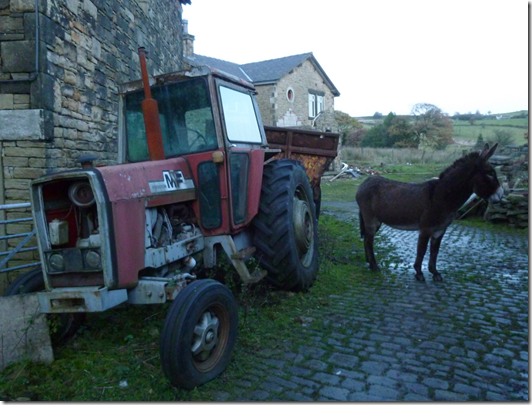
Soon after crossing the A56 / M66 the Lord Raglan came into view. The lights were on, it was a welcome sight. Before reaching the end of the run, an axe-man, a donkey and bloodthirsty barking dogs with big teeth and red eyes (They just wanted to play. Honest.) had to be encountered.
image
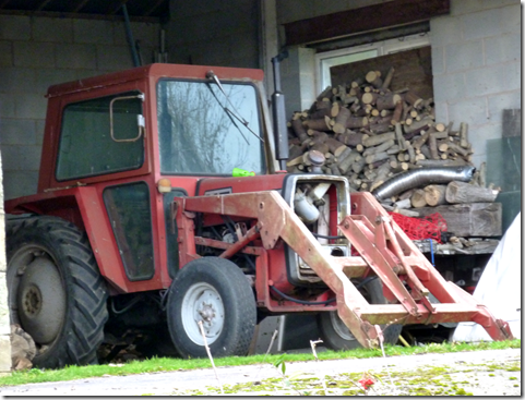
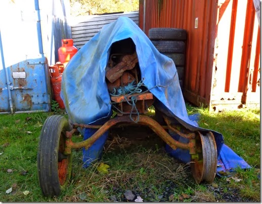
Another one for Alan. And a Tractor
After safely negotiating these final hazards there was the serious business of getting cleaned up and changed in order to not frighten the horses. Oh and to be able to enjoy a beer and dinner without smelling too much.
image
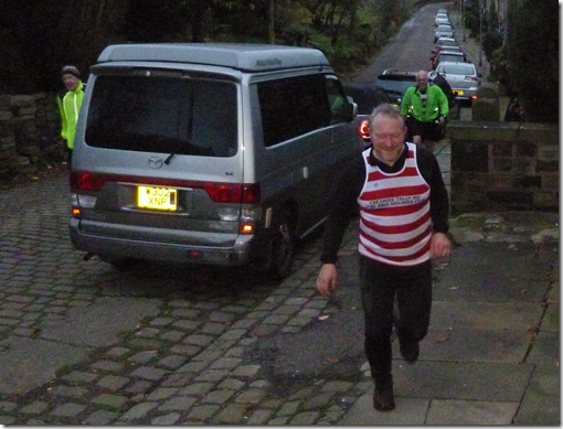
Vinny & Merciless on final approach. A crap photo, but the light was fading.
image
Big Ian leading the Medium Pack in
Vinny, Big Ian, Fast Whitworth, Even Faster Shipley, Merciless and Murray were amongst the first in. Compliments flowed: 'A good try', 'not as bad as Tintwistle' to quote just two. Praise indeed. Other comments cannot be repeated for fear of causing offence.
Eastwood's return to running fitness meant he hadn't much to complain about, other than the tarmac of course. Jenkinson had also been under the weather, a severe bout of Man Flu had slowed him down to the velocity of a speeding bullet. It's good to see such athletes powering through adversity.
A Wells came along as an invited guest runner. I think he enjoyed it. He enjoyed having his Dad buy him beer if nothing else.
The bathing facilities at the Lord Raglan weren't too brilliant. The tin bath was in the brewery – although it might as well have been outside in the car-park, it was adjacent to a large opened door. And the water wasn't too warm. Many members just made do with a quick wipe down rather than a proper bath.
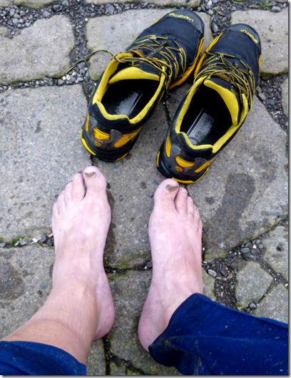
imageApres-run feet 
imageApres-run drinkies 
The food in the pub was tasty enough: hotpot for the meat-eaters, something that looked very nice for Des. Apple crumble & custard for afters. There just wasn't enough of it.
There wasn't really enough to satisfy the appetites of 25 runners who had spent the last couple of hours charging around the Lancashire countryside. There were rumblings (stomachs) and grumblings (the runners). The beer was good though. We'll be fine at the next run – it's from the Crag at Wildboarclough.
 

Anyway, the route was just under 10  miles and there was around 1600ft of the uppity stuff. Here’s where we went:
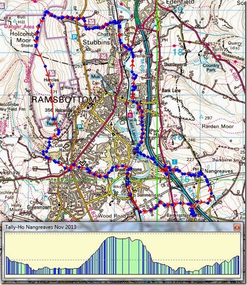
Route

Sunday 1 December 2013

Saturday 30th November 2013, Wildboarclough

Time has been very tight here at JJ Towers, there’s just been far too much stuff going on. It was something of a relief to have the excuse to get out with the Cheshire Tally-Ho! Hare & Hounds Club (Estd 1872….founder members still running I think) and trot through some lovely countryside in the good company of the Club members…and a guest: the Long Suffering Rick.
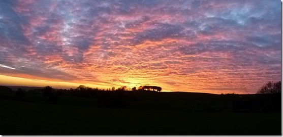
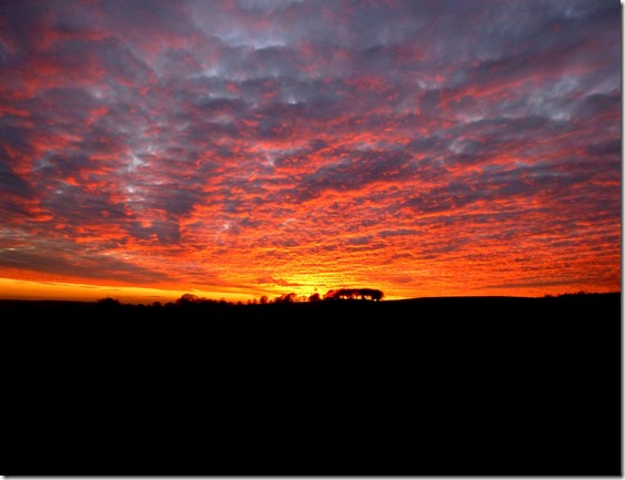
The trail, from the very excellent Crag Inn in Wildboarclough, was a little longer than it should have been. Many Hounds returned late, some running in the dark. Those who took the time to turn around and look behind them were rewarded by a breathtakingly beautiful sunset:
P1000427

P1000428

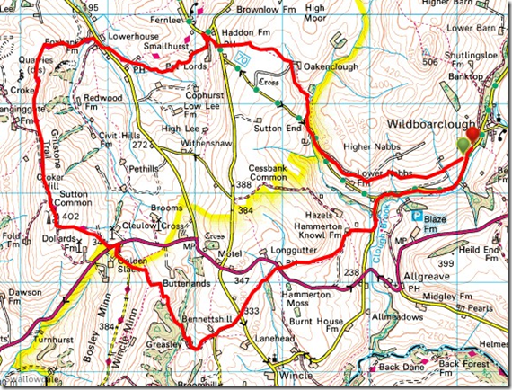
This is where we went (widdershins):

image
A little over 10 miles with around 1800’ of up and downery. And mud.
Good fun though. And Rick’s still talking to me.
And my English teacher told me not to start sentences with ‘And’. And so I’ll try not to. And I’ll be careful with the use of apostrophe’s.
And now that I’ve got a little free time I’ll attempt to fill in some gaps in the ‘ere blog.

Friday 8 November 2013

1st November onwards….Souling time again

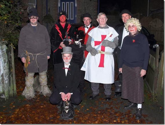
This is the time of the year that the Warburton Souling Gang take to the pubs road to spread mayhem, disquiet, misrule….and to sample far too much ale than is good for us:
First night 2013 Tooled up and ready for action
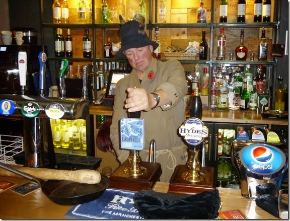
P1000210 Dick (aka ‘Old Hobbs’) with The Driver
P1000213
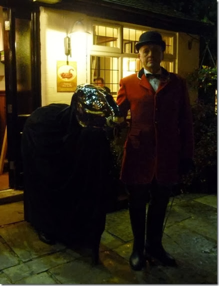
Beelzebub got fed up of waiting to get served
P1000216
The lads in the Wheatsheaf, Agden, trying for a place in next year’s Play
P1000222
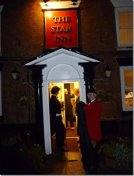
Invasion of The Star in Statham
2012_Doc_Freemasons_2ndNov_(TJ-PB010696)thumb
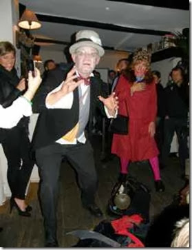
The Quack Doctor does his stuff
P1000224
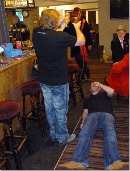
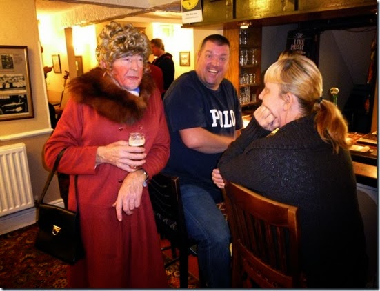
Wimmin’s talk

This is The Plan for the rest of the season….tonight and tomorrow:
Itinerary
Come and visit if you can, but hold on to your beer. Tight.

And after all that, this:
P1000225
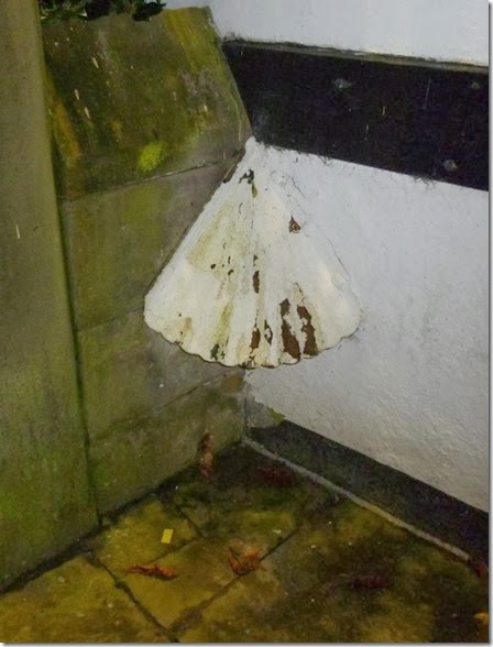
I know what this is, do you?

Addendum:

On a more serious note, and it was the Pieman’s Blog that made me thing I should mention it, The Play raises money for local charities. We tend to concentrate on two, raising much needed dosh for each in turn: the local MS Research Charity and Cotebrook House.

This year we’re making fools of ourselves and sending the hat round for the very excellent Cotebrook House in Lymm. They say ‘Cotebrook House offers both continuing and short term care for residents and we have experience dealing with a variety of physical disabilities.’

We say that it’s a marvellous place that offers a superb level of short and long term care for those with physical disabilities. It has a lovely homely feeling, and deserves all the financial support it can get. Last time we supported them, two years ago, we donated £1350. Last year we raised £1450 for MS.

And another thing:

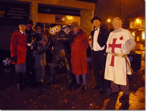
P1000227 With the statue of Frank Sidebottom, the Bard of Timperley, last night. In the rain.

Wednesday 6 November 2013

6th November 2013, Paramo Alta II

On offer at Go Outdoors

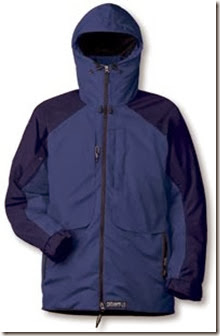
I’ve been a fan of Paramo gear for a good few years now, it’s not for everybody but it works for me. I’m the very proud and happy owner of a Paramo Velez and a Paramo Alta II.
An email from Go Outdoors popped into my Inbox earlier offering the very excellent Paramo Alta II for £150, not a bad deal at all – I paid £200 for mine around 5 years ago. The current list price is £245.
Have a look here. This link is for the Men’s garment, ladies needn’t worry – the offer is valid for their garments too!
P-NIKWAXANALOGYJACKETALTAIIMENSCOBALTOXFORDBLUE-1
The Alta II isn’t the lightest waterproof in the world, but as long as it’s cleaned and re-proofed from time to time it’s an excellent bit of kit – everything is in the right place, it’s comfortable, and of course it’s extremely breathable.
You can read the full spec on the Paramo website here.
The good bits about the Alta II for me are:
Under-arm pit-zips. These not only improve ventilation, but you can pop your arms through the open zips in warm weather – it’s almost like a gillet,
Sleeves can be rolled up, great in warm weather
Warm, although sometimes it can be too warm! In cold weather I usually just have a merino wool T shirt (Aldi, £15) and a long sleeved Helly underneath.
Decent hood, does exactly what a decent hood should do
Pockets, enough and in the right places
Oh, and it’s waterproof – PROVIDED you keep up to speed on the cleaning & reproofing. Once a Paramo garment fails, it’s TOTAL failure – water just soaks through. In my experience a Paramo garment doesn’t lose it’s waterproof properties gradually, it’s either waterproof….or it’s not. This is the bad bit, so keep it clean and re-proof it a couple of times a year – it’s not a difficult procedure.
I’ve used my Alta II in all sorts of situations, the TGO Challenge is probably the hardest test it’s been through, but it’s always come out smiling, and with me cosy and dry inside it.
I use Go Outdoors a fair amount and have found them to be on the better side of okay, if you can get hold of a sales person with the appropriate product knowledge you might be surprised.
I’m not being paid or receiving any freebies for this post, I’m just very happy with Go Outdoors and Paramo….especially when the stuff’s being sold at a damn good price!

Tuesday 29 October 2013

20th – 22nd September 2013, A Lakes Backpack

Orienteering (sort of) in the Lake District

Not much in the way of photos this time I’m afraid, all will be revealed later - read on……
September sees the Backpackers Club Treasure Hunt, a sort of orienteering event but with knobs on. And a cherry on top.
The idea of the event is to get round as many ‘check points’ as possible within a defined time limit. In addition to that, at each check you must answer a question that is relevant to that location, ie you can’t answer the question without actually visiting the checkpoint. Each check has a points value – although Colin, who sets the course and the questions, has some interesting ideas of what some of the answers should be….and don’t get me going on the (in)accuracy some of the map references!
The cut-off time for returning to base was 2pm on the Sunday, you are deducted 10 points for every minute you’re late.
Participants (rather than competitors – it’s more of a fun event than a competition) gathered at the rather nice Castlerigg campsite on the Friday evening. The pub next to the campsite offered the only chance of knobbling Colin, the event coordinator. This could be achieved by buying him huge amounts of beer. I didn’t, obviously…..’cos I am tight.
I was accompanied by Beryl the Peril AKA Margaret, who’d been gullible enough to join me once again – we had formed a team for last year’s event too. Walking with Beryl always worries me, she’s rather supremely fit although she denies it. I’m as gullible as Beryl, I actually believed her when she told me she was unfit. I never learn…

Cool dude Beryl on last year’s Treasure Hunt
We left the campsite at around 9.30am on a pleasant Saturday morning and headed of to our first planned check, High Nest at NY291228, just NE of the start. The question: ‘What is the Shropshire connection?’ had us well puzzled – but after wandering around for 10 minutes we spotted a drain cover, manufactured by ‘Wrekin’. We had our first answer!
Our next couple of checks involved trotting down some tarmac, but after that we were on the rough (and wet!) stuff for the rest of the day.
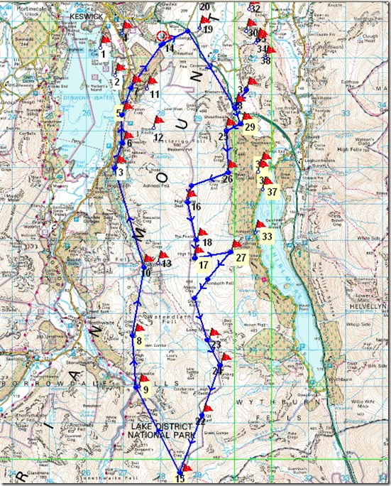
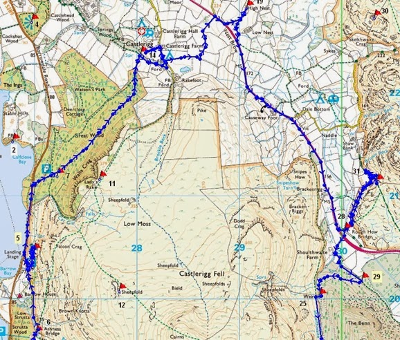
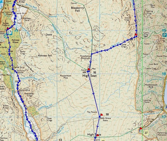
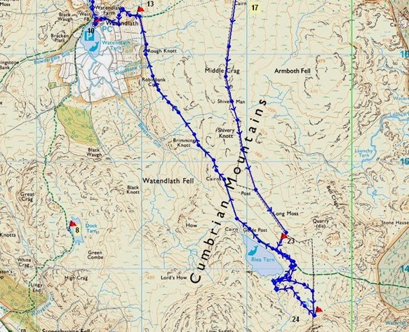
The map below shows our order of service, below that is the list of questions & answers – just to give a flavour of what’s involved. I find it prudent to plan an optimistic route with a couple of escape options. Although the distances aren’t great, the time spent in trying to answer questions significantly adds to what a normal day’s backpacking would take. Our furthest south check was No 24, just to the south of Blea Tarn. I would like to have got to Ullscarf but it just wasn’t to be.
image
Treasure Hunt 2013

We enjoyed endured an interesting afternoon, plodging over sodden ground, climbing up to High Seat and then going south by High Tove and Blea Tarn, ticking off the checks as our feet got wetter and wetter.
Although we got to most of the checks we wanted to, our answers didn’t always agree with what the course setter had settled on. Oh well. Our last check of the first day was at Blea Tarn, the map reference for the check was WELL out….so that’s one we didn’t get. Rather irritatingly, these clear errors on the the part of the course setter were brushed aside. Mind you, the extra points wouldn’t have made THAT much difference to our final score anyway!
We camped in the company of Lawrence & Lesley from Stockport, and Frank, who is from Darn Sahf – Northamptonshire I think. Frank is half of the editorial team of the Backpackers Club journal, ‘Backpack’, and a fine job he does. These three made up a very successful team. Lawrence & Lesley enjoyed a glug of my Magic Medicine – guaranteed to warm your wotsits up nicely. Frank abstained – he’s a beer man. I really must try dehydrating TT Landlord.
Saturday night was dry, the moon rose around 9.15pm, completely illuminating Blea Tarn and the fetid, boggy ground around it. I took photographs of the moonrise. In fact I’d been taking photographs all day, I was really looking forward to going through them when I got home.
Next morning I legged over to successfully to collect another check before we headed off to Watendlath and our next check. This stretch was the last of the wet & boggy routes, the rest of our day was on good, dry ground.
Beryl had A Plan: Watendlath has a rather good tea shop….need I say more? We made full use of the tea shop, drying my smelly socks, drinking tea, followed by soup & a roll,..and a scone. Yum!
The next couple of checks were easy enough, although disaster struck at Check No5, close to Falcon Crag to the west of Castlerigg Fell. We were nicely on schedule to arrive back at base for around 1.50pm. The sun was shining, my feet didn’t smell (quite) as much as before.
I left Beryl to keep an eye on the packs whilst I ran up the hill to collect the check, I didn’t have time to waste so I set myself a limit of 10 minutes to locate the check and answer the question, if I were to spend more time than that it would risk us returning to base too late. At the 10th minute I succeeded: ‘What colour is granny?’ The answer is blue*. Obviously.
Pleased with my little self, I ran (well it WAS downhill) back to Beryl and our packs. It was then that I realised that my little Lumix camera was missing. I checked and rechecked, but it was gone. I’d photographed the check location so I knew the approximate location of where it should be. I ran back to have a good look but it was no use, the camera was lost – probably in the thick undergrowth, never to be seen again.
By now I had eaten into our reserve time, it was unlikely that we’d get back by 2pm….and we didn’t. We lost around 100 points due to our lateness.
In spite of losing my camera – and losing points because of that, the very strange question & answer policy, the wet feet….I’ll be back next year. Unless the answers are screamingly obvious I won’t waste much time on answering questions though.
Margaret Beryl was good company (don’t tell her though, it might go to her head) and I think we made a reasonably well-matched team: she had the fitness and the superior intellect, whilst I had a car to get us to the start.
Colin had worked damned hard to put the event on, without him it just wouldn’t happen. He quite justifiably got an appreciative round of applause at the end.
It was good.

This is what we actually did (ish):

Day 1: 15km, 700m of up, 400m of down, Day 2: 14.5km, 450m of up, 750m of down
These figures exclude the faffs involved in locating the checks – some weren’t where the map references suggested!Treasure Hunt 2013 A
Treasure hunt 2013 B
Treasure hunt 2013 C
Profile Day 1
Profile Day 2
*Q: ‘What colour is granny?’ A: Blue. There’s a metal sign at the location, on the rear of it was stuck a tiny (blue) Granny Smith label.

Friday 25 October 2013

Monday 9th September, A Saddleworth Saunter

This Blog hasn't been kept as up-to-date as I would have liked of late, mainly because of other stuff going on. I'm making a valiant attempt at putting some of the more significant recent events so earwiggo.......
 

Alistair's Birthday Walk

Alistair, in common with Norman, has a birthday on the same date every year. Like Norman, he tries to celebrate his birthday with a walk. This year he struggled to find suitable company for his birthday walk and so he ended up asking me to join him.
Rather chuffed at being asked to join him on this auspicious occasion, I jumped on the train from Altrincham to Stockport where Alistair collected me for the drive over to Dovestones Reservoir, east of Oldham.
The day was ideal for walking, bright and sunny but not too hot. This area of Saddleworth is really quite lovely, the edges make for gentle walking – once you've actually got up to them. My last visit here was last November when I'd been out for a run with Cheshire Tally-Ho. Now the colours of the countryside were quite different and it was much warmer.
Our route started at the car-park by the reservoir dam. Other than dog-walkers, a couple of cyclists and two runners, we seemed to be the only people out that day.
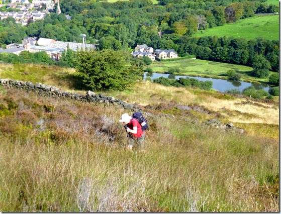
We headed out west, which the navigationally switched on will quickly note is NOT east. East is Good. Heading west was A Warning. We had planned to climb to the top of Alphin, a pleasant enough looking hill. We picked out what appeared to be an easy zig-zag route.....except that it wasn't. It was a bit of an uphill battle over heathery, boggy, overgrown upness. There actually wasn't a zig-zag route so we just ended up aiming for the top and going straight for it. Such fun.
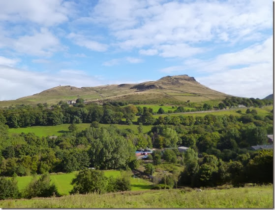
P1020872 Pots and Pans, above Uppermill
P1020878
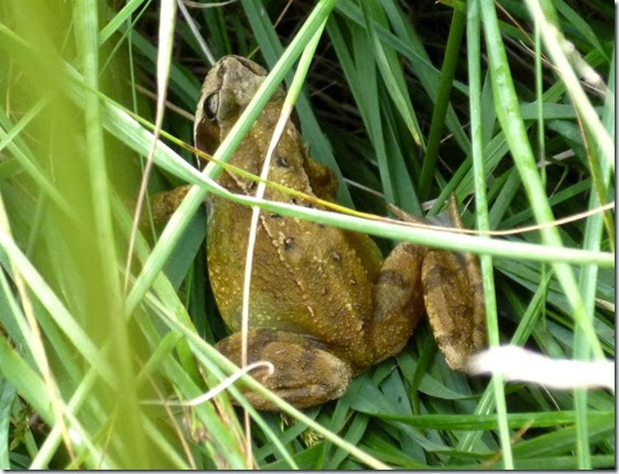
Close Encounter of the Frog Kind
P1020875
The Birthday Boy climbing up the side of Alphin
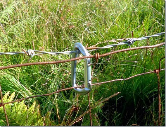
Up until a couple of years ago I’d always thought that walkers carrying carabiners about their person were poseurs….wanalooklike climbers. Until I walked with Denis Pigeon. He pointed out that a carabiner is simply a brilliant way of holding down the top rung of a barbed-wire fence so you don’t catch your rude bits as you clamber over. Sooo…here’s the Denis method of dealing with a barbed wire fence:
P1020876Another very useful, er, use for a carabiner is for securing your pack on the well-overloaded luggage rack of the train from Glasgow to Fort William and the start of your TGO Challenge. It also earns brownie points from the train conductor / tickety person who would otherwise get very grumpy. 
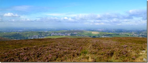
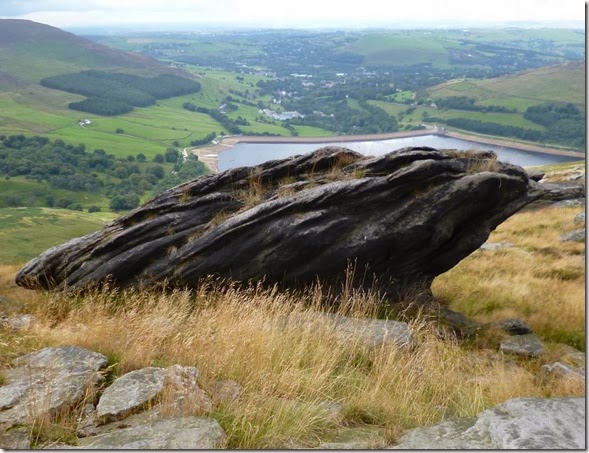
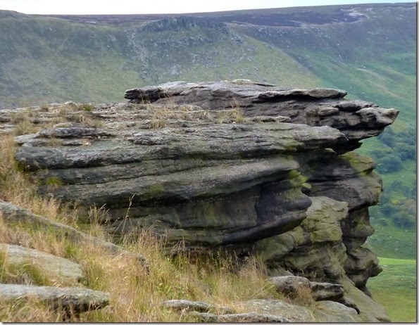
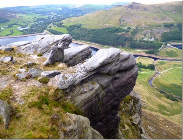
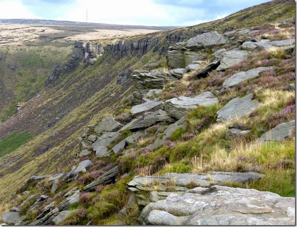
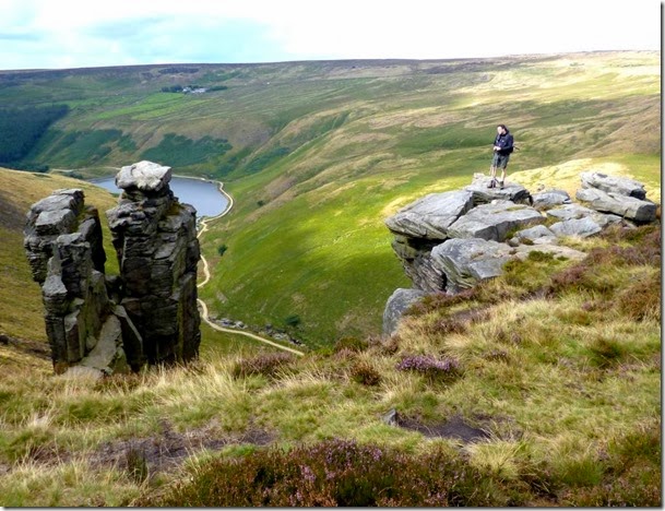
Anyway, once at the top of the hill we found a pleasant spot and stopped for a quick cuppa and a gawp at the views which were spectacular, the Manchester skyline in the distance, the reservoirs in the middle distance and weirdly shaped rocks along the edges.
P1020882 Manchester in the far distance
P1020881
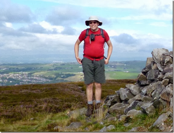
Alistair trying to look a year younger than he actually is
Suitable refreshed, we wandered off south east-ish, sticking closely to the rocky edges above Chew Brook and north of Wimberry Moss.
I lived not a million miles from here in the 1970s and one of the annual delights was picking wimberries, they make the most wonderful fruit pies. The only drawbacks are that you end up with blue fingers and they take ages to pick.
The paths were generally good but there were the odd soft and soggy bits to negotiate, nothing life-threatening like wot you get on Kinder Scout though. After crossing one of these soggy bits, a steaming peat desert, Chew Reservoir became our next target.
P1020889
P1020903  Chew Reservoir
We trotted merrily across the Chew Reservoir dam (the Dam Chew Reservoir?) and looked across the water. Emley Moor TV mast was quite clearly visible in the distance. A bit of a cool breeze had built up so we found ourselves a nice sheltered spot for lunch. Butties and flasks were produced....and Alistair was presented with his no expenses spared £1 birthday card. I would have bought a Gregg's birthday cake....but there isn't a Gregg's on the Saddleworth Moors. Oh well. Egg butties and malt loaf had to suffice. Oh, and it rained, but only a bit.
P1020908
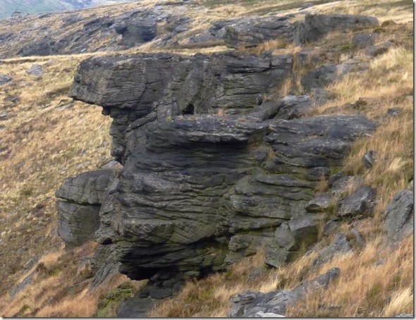
Wandering off in a sort of north direction, we crossed some boggy ground until we spotted a good path along the edges. We followed this easy path until we drew level with Greenfield Reservoir, stopping only to gawp at the wonderfully shaped rock formations. And to photograph them:
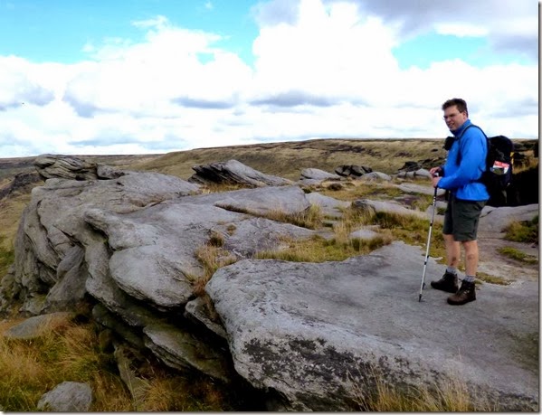
P1020912 P1020913P1020914  P1020935P1020933  The person in blue is Alistair, not a rock. It’s just that he’s a year older.
P1020949The sticky-up thing on the horizon is the Emley Moor TV mast. 
P1020953
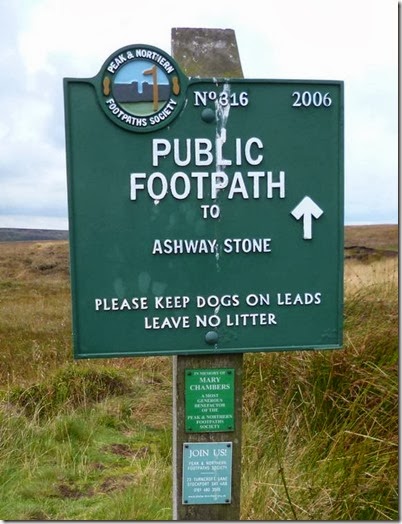
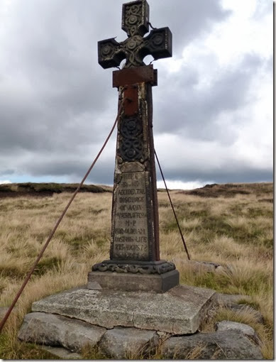
We came across Ashway Cross:
P1020944
‘Here, by the accidental discharge of a gun, James Platt Esq., MP for Oldham, lost his life, 27th August 1857’
James Platt, Liberal MP for Oldham, was out shooting grouse on the moors when he lost his life. The Platt family were big in the textile industry, at one time Platts were the world’s largest textile machinery manufacturers.
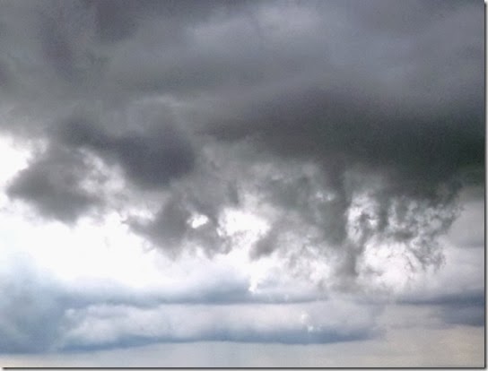
There were clouds:
P1020947
The descent wasn't quite as straightforward as the earlier part of the walk. There wasn't much of a path so we just followed the stream that flowed down Birchen Clough to pick up the Land Rover Track that served the reservoirs.
P1020956
All was well until I took a tumble, nothing serious – my pride was more damaged than my body, although my bruised legs ended up being quite multi-coloured for a couple of weeks!
Fortunately the Land Rover Track, which soon became a tarmac-surfaced road, made for easy walking and my bruised pins didn't slow us down too much and we were back at the car soon after.
P1020959 Enroute to the car
A lovely day out in good company, I'll have to see if I can drag Alistair out for a walk on my birthday!
Alistair reckons with walked around 18km with a total ascent of 500m. I reckon we walked a bit more than 11 miles and climbed around 1600ft.
If you want to know what we REALLY did, have a look at Alistair’s blog. He’s got a map too!
More pics here. – loads more rock formation stuff.

Tally-Ho! Whitworth Wander / Turkey Trot 2023

  Whitworth Wander – Turkey Trot, 27 th of a very wet December 2023 In memory of the late Brian Whitworth, a fine man, my friend, and a for...