Day 1, Llangynllo to Beacon Hill
On Wednesday afternoon Mike and I got off the train at Llangynllo station, a tiny station, secreted in someone’s back garden. Very odd.
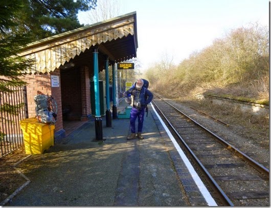
The Plan for the day was to walk a few miles and pitch for the night, which is exactly what we did. Clear skies and a cold breeze ensured a cold night’s camp. Fortunately we’d come well prepared: woolly undies, thick socks, pies, and lashings of whiskey hot chocolate.
This trip was planned by Mike and he’d researched the area well. He wanted to tick some tops and the route was put together with this in mind. Potential pitches were checked for potentialness by studying his maps of the area and one of the Cairngorms. This certainly paid off, we now know there’s a brilliant place to camp by the Cairngorm Club Footbridge, close to the Lairigh Ghru. Oh, and some lovely pitches in this sparsely populated area of Wales.
This area really is beautiful. Okay, the weather couldn’t have been better, but really, this area is stunning. There’s loads of interesting features: ditches, dykes, tumuli, windfarms and loads more. Better still, it’s quite unspoilt. Apart from the windfarms.
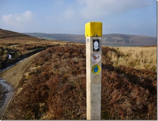 The first hill of the trip was Pool Hill which had a little pool to the SW of it’s top. This hill was incorporated into the few miles of tarmac, Land Rover tracks and footpaths, including Glyndwr’s Way, to our first overnight stop. Our pitch had decently flat ground, running water close(ish) by, and a fine chorus of croaking frogs and froglets.
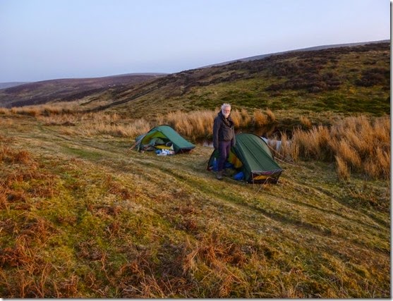 First night’s pitch, close to Beacon Hill
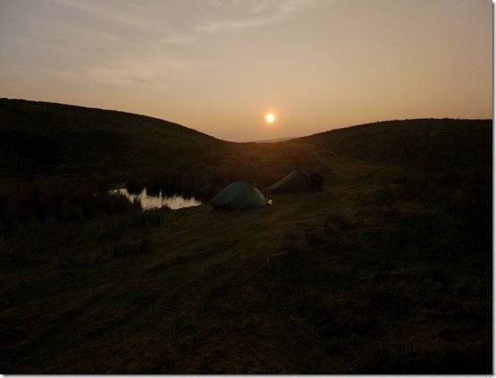
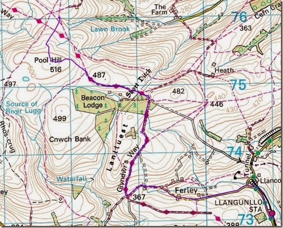 Our route for the day, very clearly defined (eh?) by a purple squiggly thing.
Starting at the bottom right and finished at the top left of the map. 4.4 miles, 900’ ascent
It was a damned cold night, lots of hot chocolate (and other stuff) was consumed in the interest of warding off the coldness. Once in our sleeping bags we stayed put until the morning, it was too chilly to be sociable. Thanks heavens for the ‘I’ newspaper and BBC R4. My new toy, a Thermarest Neoair, did the job well.
Day 2, Beacon Hill to Kerry Hill
An early night meant an early morning, or it should have done. It was better to stay in my cosy sleeping bag until around 8am, it being so very cold. Even the Akto’s built-in shower was only able to provide a shower of ice crystals.
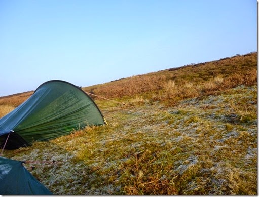 Frosty tents
Beacon Hill has a trig point set on a tumulus, one of four tumuli on the summit if the 1:50K OS map is to be believed. This was our first objective of the day – if you didn’t count all the coffee I needed to kickstart my body.
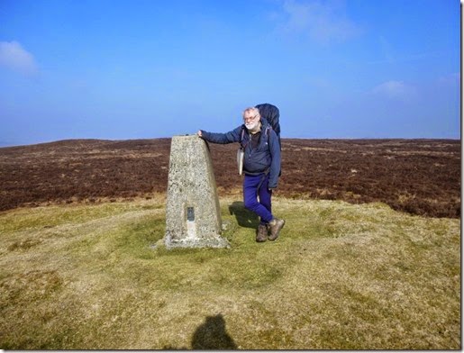 Mike on Beacon Hill
Heading north (and downhill) we came across a fenced-off area that at first glance appeared to perhaps be an open pit. On closer inspection we found a pile of rotting carrion, surrounded by snares – perhaps to catch unwary foxes:
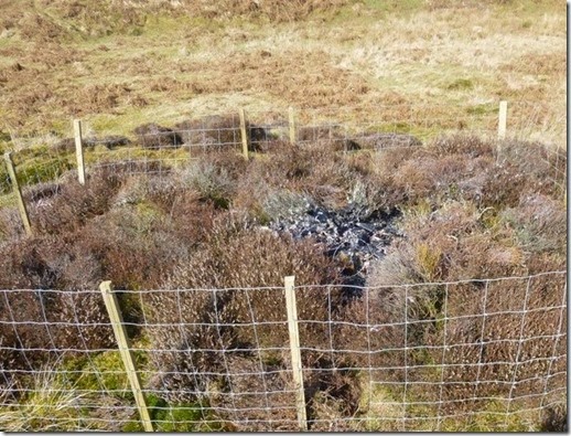 Look carefully and you’ll see a snare. I’m not sure of the legality of such traps.
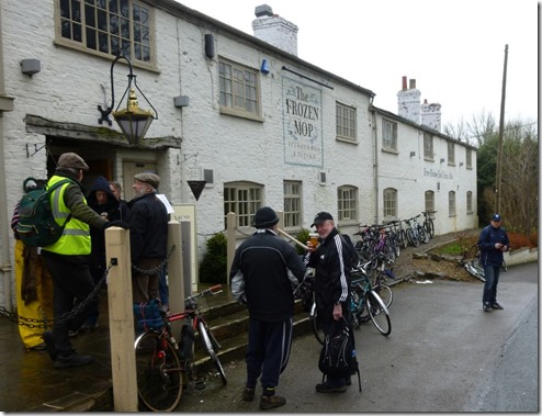
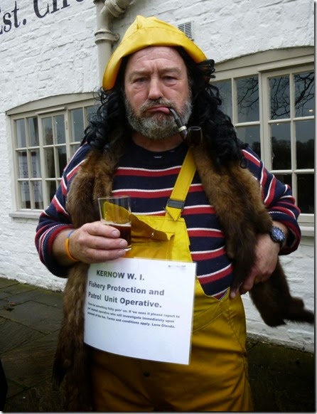
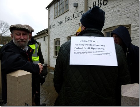
Careful study of the OS map revealed the presence of a pub in Felindre, about 3 miles north of Beacon Hill. As our route took us through Felindre we decided that we could be considered rude if we didn’t call in the pub for cup of tea, and maybe a nice scone. The pub was easy to find but our beer tea and scones would have to wait:
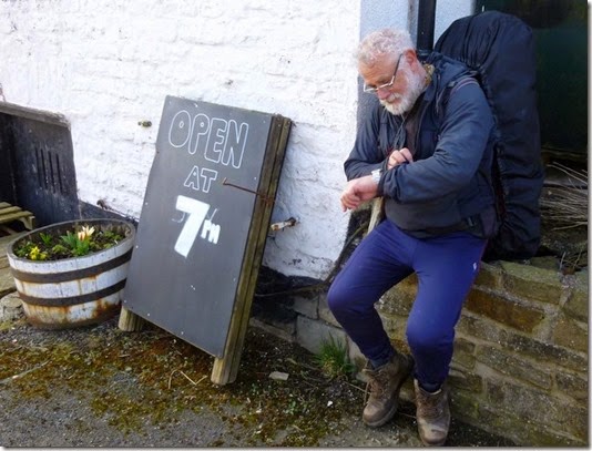
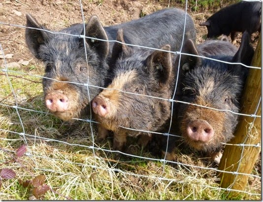 Our fan club
We continued, thirstily, to our next goal – Anchor. Anchor, for those not in the know, is the start point for the annual Across Wales Walk. I was more than a bit disappointed to find that the Anchor Inn at Anchor had closed down, a very sad sight (and site) indeed:
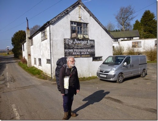 A very shocked Mike, dazed by the realisation that beer wasn’t coming our way that day.
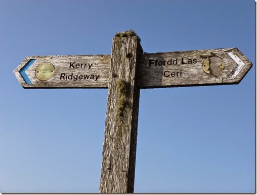
Not (very) disheartened, we continued our merry way to the Kerry Ridgeway, an ancient route running from Bishop’s Castle in Shropshire (famous for the Three Tuns Brewery) and Cider House Farm in Powys, which may or may not have been famous for cider.
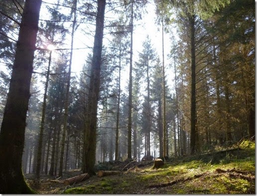 Ceri Wood
We joined the route at Kerry Pole:
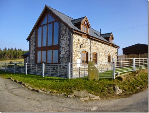 What I didn’t realise at the time was that Kerry Pole is the site of a megalithic stone circle. Had I known, I’d have spent a bit more time there. Oh well, onwards:
We were only into our second day of this trip but it was remarkable in that we’d seen very few people so far: the previous day we met a farmer who was curious to know what we were up to, on this day we saw a family out for a walk along with dad(?), a gorilla of a fat bloke, ill-treating his doggy. We weren’t at all impressed by this behaviour one teeny little bit. Some folk should just not be allowed to have dogs. Or children. It’s a shame, his children seemed quite nice.
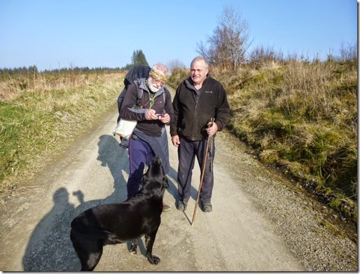
This unpalatable episode was almost forgotten when we came a across another doggy owner walking his barmy labrador along the Kerry Ridgeway. This lovely bloke walked his doggy miles and miles every day. And he was a motorcyclist. The man, not the doggy. At least I don’t think so.
The Kerry Ridgeway was crossed by Cross Dyke, one of the many dykes in the area. Two Tumps was (were?) adjacent to where the dyke crossed the Kerry Ridgeway. I thought that the Two Tumps was me and Mike.
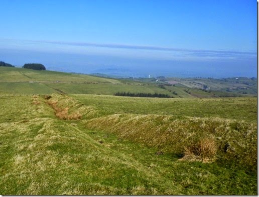 I photographed Cross Dyke but forgot to photograph Two Tumps. Worratump.
More Kerry Ridgewaying took us to Kerry Hill and the search for a pitch for the night. A nice little spot, flat and grassy, presented itself and our two Aktos were quickly erected:
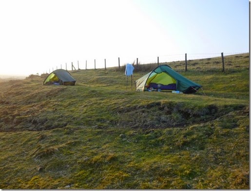 Akto Central, Kerry Hill
Kit failure
Another cold night followed. In my case it was a slightly worrying night too. I’d avoided buying a Thermarest Neoair for some years, simply because of the problems that other owners had experienced – namely delamination / internal baffle failure, and overnight deflation. I was more than a bit miffed to find that my brand-new Neoair’s internal baffles had begun to fail after just one night’s use. A small bulge was developing at the bottom end of the mat. Fortunately the bulge was in a position not to cause me a problem, but it was certainly a concern. The Neoair will be going back to Gaynor’s later this week.
Anyway, the day’s travels:

The second bit: Felindre (of closed pub fame) to Kerry Hill
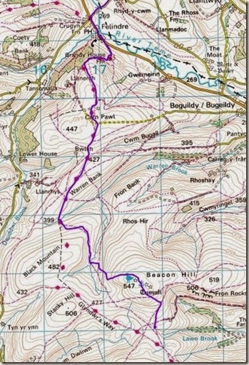 The first bit: Beacon Hill (nearly) to Felindre
12.3 miles, 1900’ ascent
Day 3, Kerry Hill to Cobbler’s Gate…
….well it was very close to Cobbler’s Gate. With a name like that I just had to include it in the write-up.
The RAF were out to play today. Fast jets were flying around, it looked like they were having great fun. A low flying Hercules trundled in front of us, the pleasant rumble of it’s engines wasn’t at all intrusive.
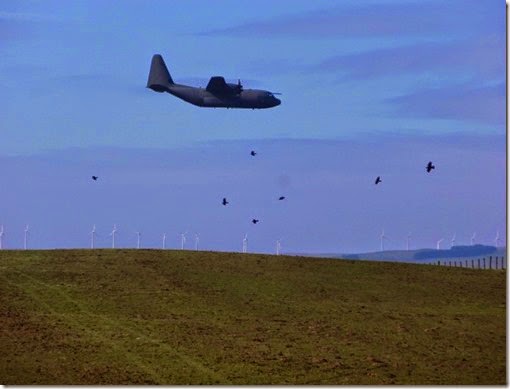
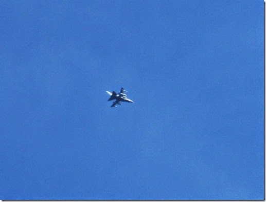 Then a funny thing happened. The sky darkened a little bit, the birdies stopped singing a little bit, it chilled a little bit, and then out of nowhere a mysterious flying object streaked across the sky – could this be the RAF’s new stealth fighter?
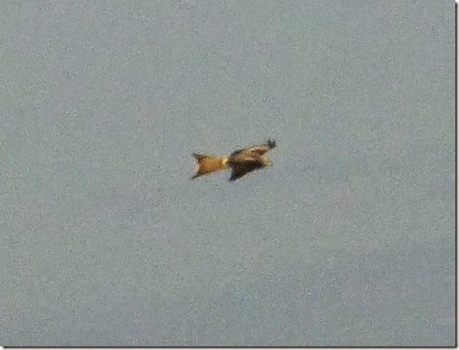 The picture quality is poor, I didn’t have time to set the camera up – it was literally shoot and ask questions later.
Oh, and then there was the partial eclipse. That was good, even though we couldn’t see it.
Mike wanted to whizz up some lumpy little hills so our route wandered around quite a bit. It was none the worse for that, in fact it just prolonged the sheer pleasure of being in this lovely area in grand weather.
The first lump entailed a bit of trespassing going somewhere where we weren’t supposed to. Never mind, nobody saw us climb the hill without a name at SO089852. Not even the farmer at Glog Farm.
So busy were we yacking that we turned up a Land Rover Track at Bryn Dadlau that we should have walked past, it just seemed to go the right way – uphill. It was only a minor error and we were soon back on track.
Pegwn Mawr was next, with it’s broken Belfast sink, ancient cairns, and seemingly even more ancient (and certainly more knackered) windmilly generator things. At 586m ASL this top is very significant. Or something. Ask Mike, he knows these things.
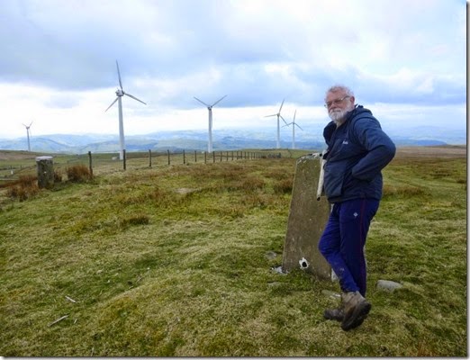 Posing at Pegwn Mawr’s trig point
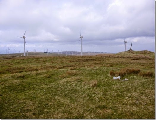 Pegwn Mawr’s Belfast sink (broken) and the cairn – which appears to be a midge’s wotsit higher than the trig point. And a load of mainly knackered windmilly things.
The man at the Beeb warned of wet weather coming in from the west, it was certainly getting cloudy – still good walking weather though.
The rest of the day’s walking was on really good tracks, the best surfaced of which were windfarm service roads. We walked north, which the more observant of you will notice is NOT east. But this is Wales, not Scotchlandshire. And it’s not May either.
About 5 miles of really easy walking took us to our intended pitch for that night around Cwmffrwd at SO041876. Whilst it looked good on the map it was completely unsuitable – loads of dead bracken, boggy bits, lumpy bits etc. We eventually spotted a half-decent patch of almost grass-type stuff on only a bit very lumpy and only slightly very boggy ground. It was mostly out of sight of the road, and better still, it had a lovely stream running by.
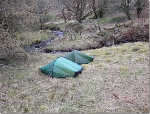 A not so cold night followed. The cloud was well and truly cloudy by 7pm and we were ready for the promised rain, which didn’t actually arrive. One thing about wild camping in the cold, you get plenty of sleep – once in your tent you’re unlikely to surface until the next morning.
The day’s wanderings (right to top left):
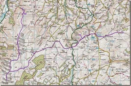
16.7 miles with 1700’ ascent
Day 4, Cobbler’s Gate to Caersws.
The cloud of the previous evening had vanished and the sun was shining brightly.
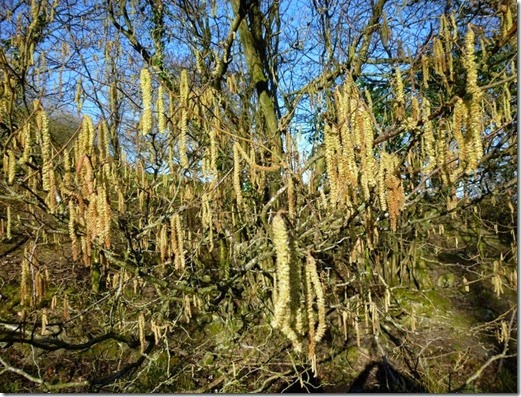 Catkins in the morning sun
It was a short and sunny walk into Caersws and it’s train station = the end of our trip. The tea room in the village provided mugs of tea and butties, very civilised. I even managed a quick wash and shave in the tea room’s wash room.
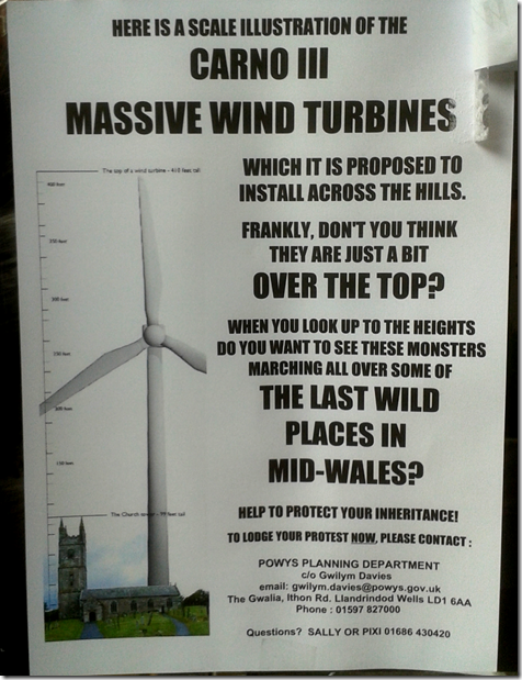
There seems to be some local resistance to the expansion of the local windfarms – a particularly effective poster was on display in the teashop:
The only pub that was open in the village at that hour had just the one handpump on, serving Feeling Foul Felinfoel - that was in worse than poor condition. Lager & Guinness were the only alternatives….beggars can’t be choosers.
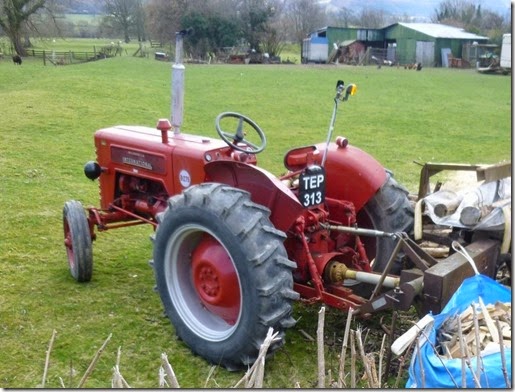 For Alan
The last day’s walk:
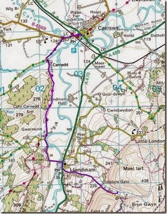
4.1 miles and 580’ descent
I was expecting a good few days away, I wasn’t expecting it to be so good though. The area is superb for backpacking, I’ll definitely be going back before too long. Thanks to Mike for his great company, coming up with the idea and then putting it all together, it’s a plan I certainly wouldn’t have come up with. I really enjoyed it!
More photographs are here.
Mike’s version of events can be read here.
Walklakes.co.uk
Our route was tracked using my Garmin Etrex20 with 1:50K OS maps installed. The mileages and ascents were gleaned from both the Garmin and by loading the resulting GPX files to the very excellent WalkLakes (free) OS mapping website. WalkLakes is well worth a visit.

