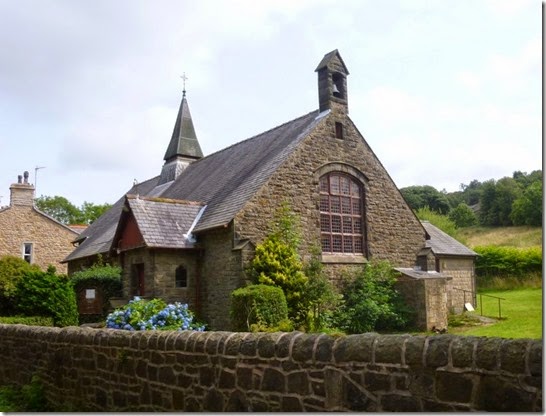
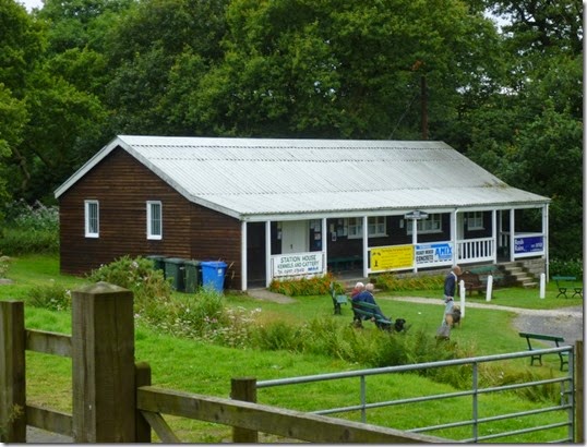
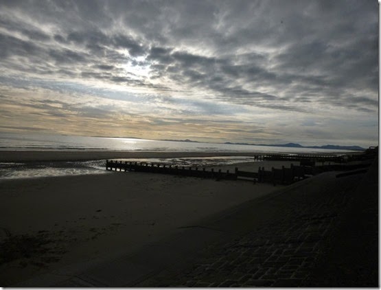
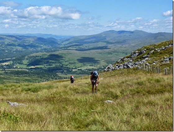
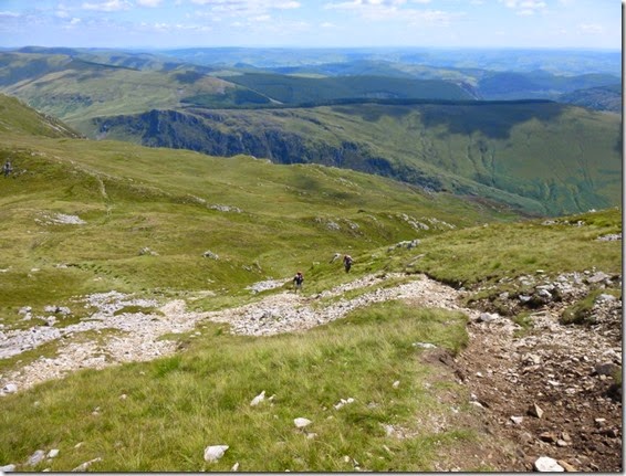
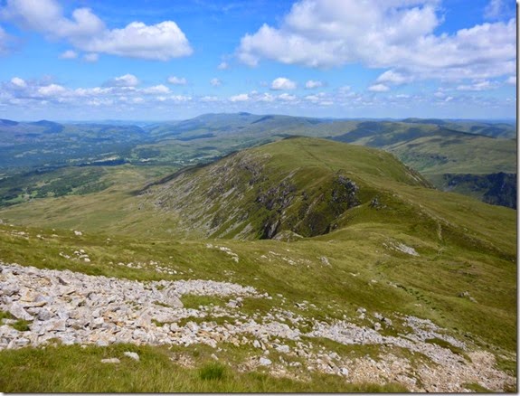
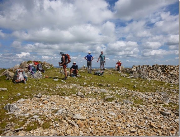
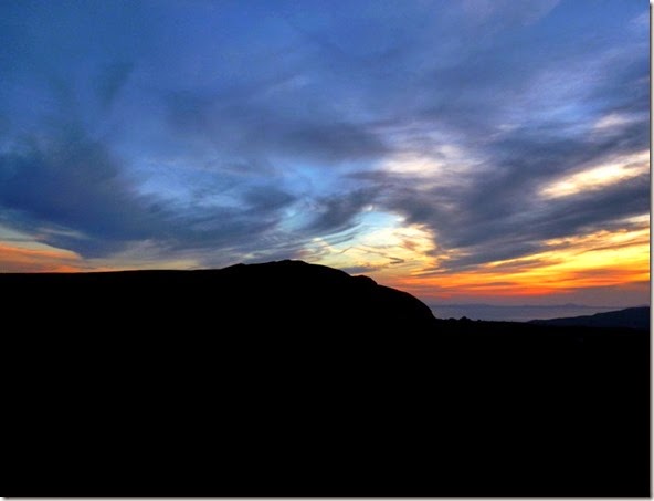
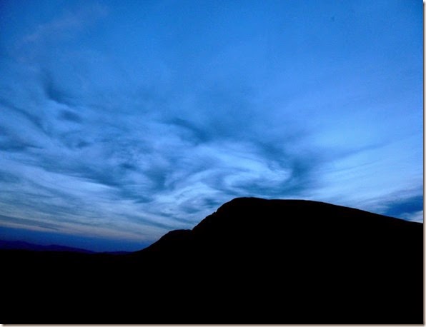
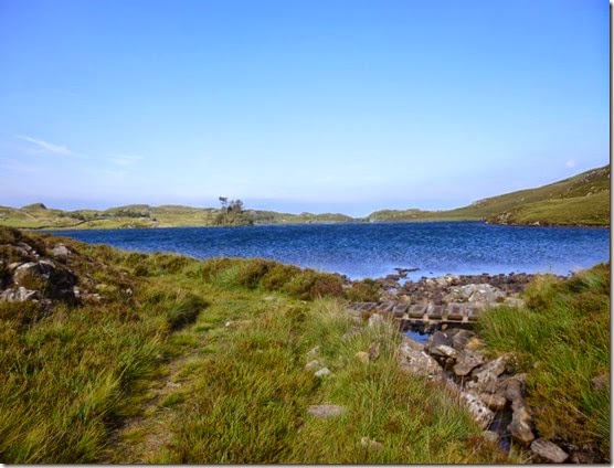
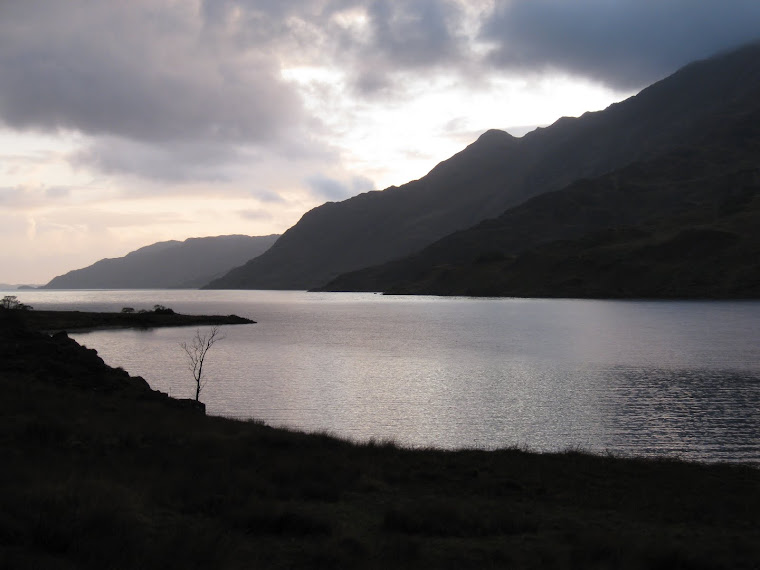
View from Oban Bothy

View from Oban Bothy

Friday 1 August 2014

Friday 11th July 2014, LDWA Red Rose 100 recce, Day 6

Mellor Brook to Rivington….and the end!

I was woken at 4am by a god-awful screechy, whining racket. Sticking my head out of the tent I saw the source of the racket - a pussy cat. Probably lovelorn, poor bugger.
It was so warm overnight that I slept virtually out of my sleeping bag and with the tent door open. Everything was wet from the dew when I got up.
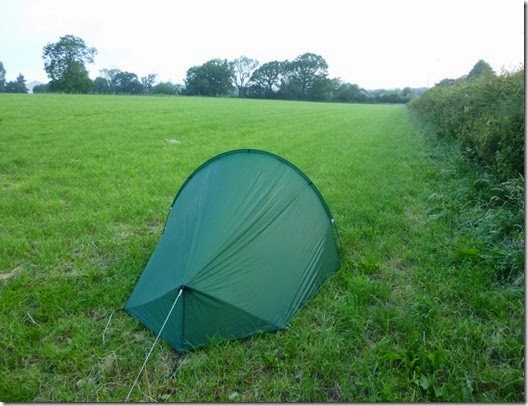
P1020243
I was packed and on my way by 5.30am – just as Mellor Brook was stirring. The first part of the route was on tarmac so at least I didn’t have to suffer wet grass. Not for a few minutes anyway.  
Unfortunately it wasn’t too long before I was wallowing across dew-laden grass and my feet were once again sodden.
P1020244 Long and wet grass. And an almost concealed wall stile.
This was to be the hottest day of the entire expedition – and consequently the hardest. I don’t do heat very well and frequent stops plus loads of water were the order of the day.
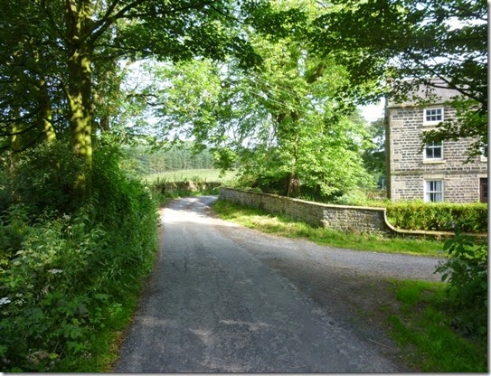
The better news was that the ground improved as the day progressed, there were some nice dry tracks and quiet lanes.
P1020245
P1020246
Hoghton Bottoms 
P1020247
Close to Hoghton Bottoms – anybody got a clue what this is?
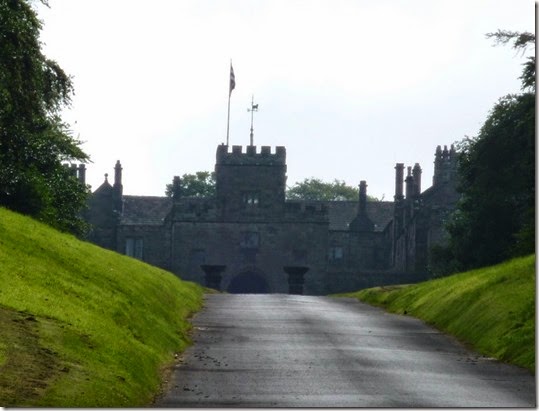
I was pleased to see that Hoghton Tower was on the route – in the 1960s I spent some short breaks in Hoghton, staying with an Aunt & Uncle. They were very happy times.
 P1020250 Hoghton Tower
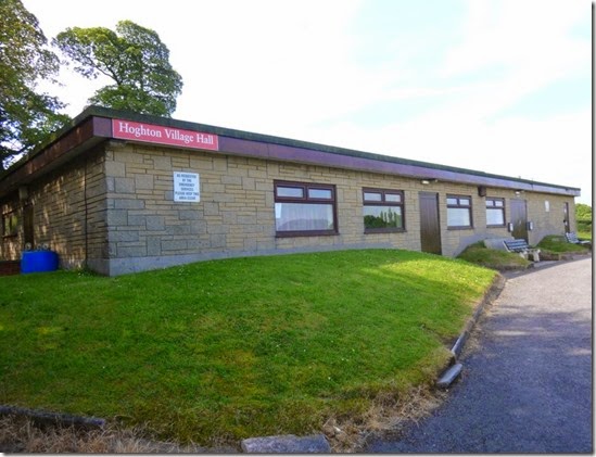
The first major objective of the day was the next checkpoint on the route:
P1020252 Hoghton Village Hall, Checkpoint 13 at 89 miles into the route

Blocked Footpath Warning:

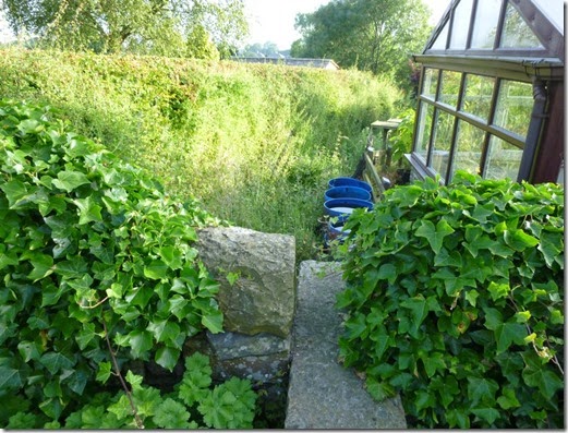
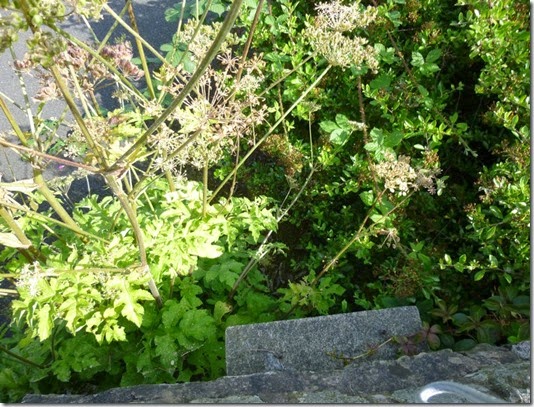
The first navigational challenge of the day came whilst trying to get onto the Leeds & Liverpool Canal towpath, just to the south of Riley Green. It was easy enough to get onto the towpath from the road, but there’s a Right of Way goes through a garden at SD624251. There isn’t a signpost so it looks like walking through a garden is all a bit wrong. An added complication is an almost completely concealed set of steps in the garden wall – the house-owner clearly doesn’t want anyone using the path.
It’s quite easy to get on to the towpath by using an ever-so slightly different route: crossing the road and walking the ‘wrong’ way up the canal for a short distance. This is all very well, but there’s a Public Right of Way that’s been effectively concealed AND virtually blocked….and that’s just wrong. I feel a letter coming on….
P1020259 The very narrow and almost completely concealed steps in the garden wall.
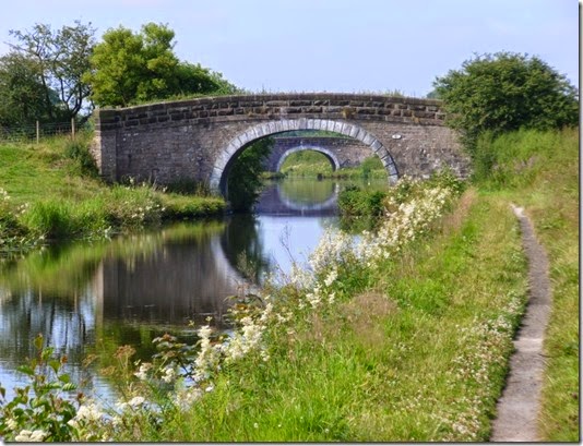
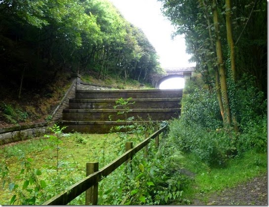
The heat got hotter as the morning wore on and I was taking advantage of any shade I could find, the canal bridges proved to be invaluable for this purpose:
P1020262
For what seemed the first time in ages I heard the sound of noisy traffic, the canal was crossed by the M65 motorway and it was very busy.
Leaving the canal close to Ollerton Fold I was soon back on tarmac, there was very little traffic though. Officially my next objective was Checkpoint 14 at Brinscall….but my stomach had other ideas. I diverted from the route by going through Withnell where there’s the most wonderful Woodlands Cafe in the old Co-op building:
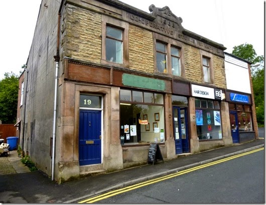
P1020401 It might not look much from the outside but to a tired and hungry backpacker it was an absolute lifesaver!
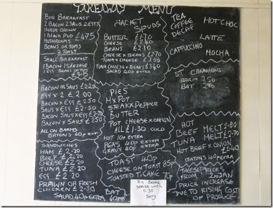
P1020402
Two mugs of tea and an enormous breakfast later, I headed back to the route and St Lukes Church Hall at Brinscall, venue for the checkpoint. My diversion only added a couple of hundred metres onto my route but I really needed a good sit down and a substantial feed – I got both.
P1020404 Checkpoint 14, 94 miles – St Lukes @ Brinscall
The route out of Brinscall is straightforward enough but be aware that it’s easy to go wrong SD624210:
P1020408 DON’T go straight on here, but turn LEFT…..
P1020410
…..to pick up this lovely path
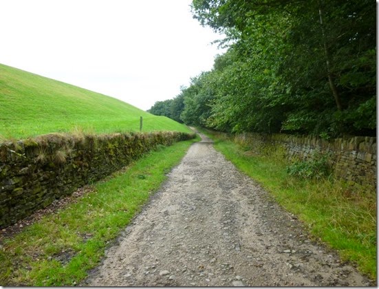
The rest of the route is very straightforward and is on really excellent surfaces:
P1020411 Just what you need after 95 miles of walking: good tracks and easy navigation
Anyone who’s done the Anglezarke Amble will recognise much of this last section:
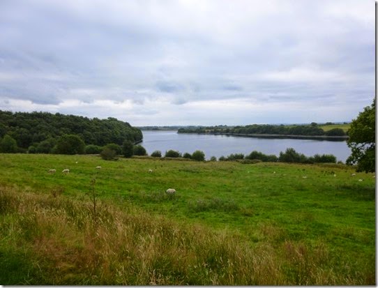
P1020412  White Coppice….NOT a checkpoint!
P1020415
P1020418
Anglezarke Reservoir
P1020425
P1020426
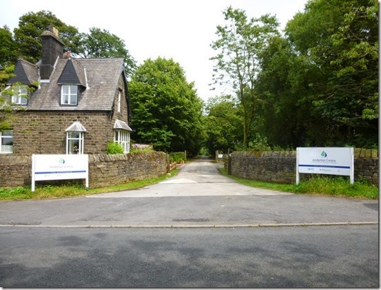
After leaving the reservoirs there was a bit of tarmac (no mud!) to the Start / Finish at The Anderton Centre. It was closed when I got there so you’ll have to make do with this photograph of the entrance:
P1020427 The Event HQ, The End, The 100 mile point, whatever. If you made it this far- Well Done!
The route description gives the distance of the section from Checkpoint 14 to the end as being 6 miles, I made it 7 miles, even allowing for the bits where I went off route. I measured the distance with a Garmin Etrex20 set to GPS + GLONASS = max sensitivity and accuracy. When I get the time I’ll go through the mileages on the route description and the distances measured on my GPS.

The day’s route, 16.5 miles:
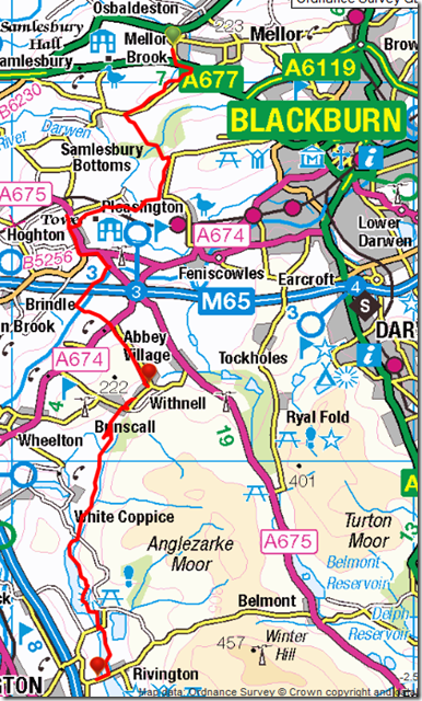
imageAt the end of all of that walking I drove home, had a few beers, showered, then treated myself to a takeaway….I really couldn’t be mithered cooking!

Conclusion

I always struggle when navigating through field footpaths and this route wasn’t without it’s challenges. These problems were mainly apparent in some sections between Slaidburn and Chipping, and bits towards Mellor Brook. There are a few obstruction problems that I’ve reported to Lancashire County Council…but I’m not holding my breath!
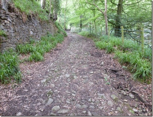
The terrain is generally very good although I’m sure there’ll be more than a bit of mud after heavy rainfall. Whilst that may be the case I really wouldn’t expect any significant problems, there’s loads of really well surfaced tracks.
I struggled with overgrown undergrowth – hardly surprising in the height of summer! At the end of May 2015 I don’t think that will be a problem at all.
The profile of the route (up and downery) isn’t a problem. It’s not a flat route by any means but the lumpy bits are all highly do-able.
I’d like to clarify that I didn’t always follow the route exactly. This was for various reasons, such as needing to find somewhere to put my tent, needing to buy food etc. Interestingly some of the route sections I did follow exactly sometimes differed in distance when comparing the route description to my GPS-measured distance.
I think it’s a brilliant route, I thoroughly enjoyed backpacking it. I feel it’s so good that it deserves to be recognised by Lancashire County Council and promoted as a Long Distance Path. There are a few bits that need tweaking – that’s already receiving attention from the route planners. When the tweaks are sorted it will transform the route from Brilliant to Absolutely  Marvellous!
All you need to do now is to pray to Freyr for a decent May 2015….get praying!
Wednesday 30 July 2014

16 – 19th July 2013, Barmouth Bimble with Pies

Day 1, Barmouth

Pie aficionados gathered either side of Afon Mawddach in glorious sunshine for a few days of eating beer, drinking pies, backpacking and luxuriating in good company. The Plan didn’t quite go to plan….but that’s the stuff of adventures….innit.
The first bit of not going to plan-ness was our tea at The Last Inn. The place was full so we had to search around the town and eventually, after passing LOADS of closed eateries, nosh was obtained in a local Chinese restaurant….actually a dining room tacked on to the side of a Chinese takeaway.
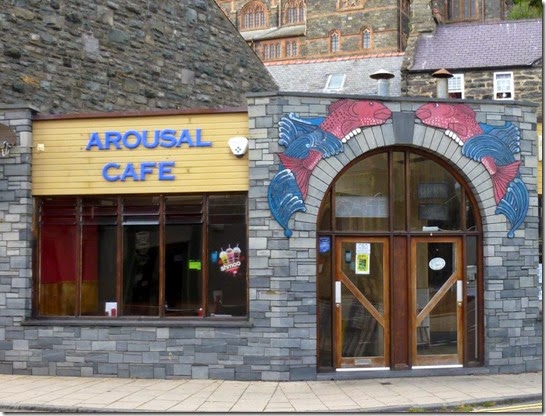
P1020274Barmouth’s Arousal Cafe. Closed.
Back at the campsite we enjoyed a lovely sunset. And then we went to bed.
P1020273
Sunset over Bae Bermo. That’s foreign for Barmouth Bay y’know.

Day 2, Barmouth to Dolgellau

The next morning Mike had arranged for us to meet up at Greasy Lizzie’s Rosie’s Diner in downtown Barmouth for an exercise in artery clogging. That’s not a dance by the way.
P1020275
I think his idea was to sabotage the health of the (incomplete) A Team so as to ensure a slow walking pace for the period of the expedition….and probably a lot longer than that. I couldn’t manage the Gut Buster, but Mike, who shall remain nameless in case his Fat Nurse finds out what he’s been up to, shifted his ginormous plateful of cardiac-arrest inducing comfort food with a minimum of effort. Dawn and I settled on the safer option, The Bloody Huge Breakfast.
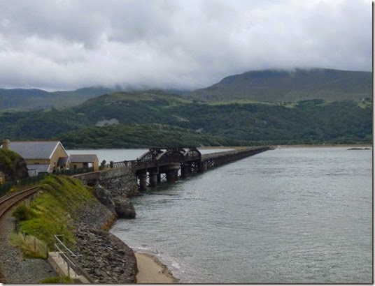
P1020277 Barmouth Bridge carrying the railway line and the footpath
The B Team were staking out the south end of the footbridge whilst we enjoyed our third mug of tea – essential for washing down the enormous amount of cholesterol we’d just consumed.
Eventually the A Team prepared for action, went to the toilet, and set off for the south side of the estuary. We walked slowly.
The weather wasn’t brilliant but it was fine for walking – it wasn’t to start raining for at least two hours. This was almost Scottish weather.
P1020282 On approach to the George III at Penmaenpool. In the rain.
Our Plan was dead easy – walk along the Mawddach Trail until Dolgellau, put up the tents, and go to the pub. The Plan was executed with military precision…..apart from the bit when we stopped at the George III en-route to Dolgellau. This variation from The Plan was acceptable – members of both the A and B Teams are only too aware of the dangers of dehydration when on an expedition such as this.
The weather had improved considerably by the time we arrived in Dolgellau, we had warm sunshine and dryness. Better still there was a chippy and a pub serving decent ale.
The A Team came to up to full strength here, Judith and Laura, had joined us – we were now ready for anything. Our combined forces of Teams A & B was made up of Judith, Laura, Dawn, Mike and Alan and his two friends – Teg & Rich. Oh, and I was there too.
We had walked, ooh, around 10 miles.
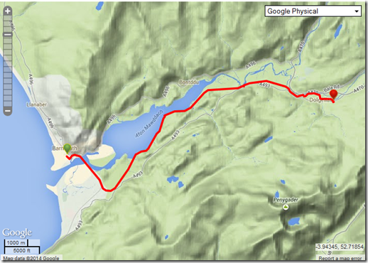
image

Day 3, Dolgellau to Cadair Idris

Next morning dawned bright and clear – it was going to be a very hot day indeed.
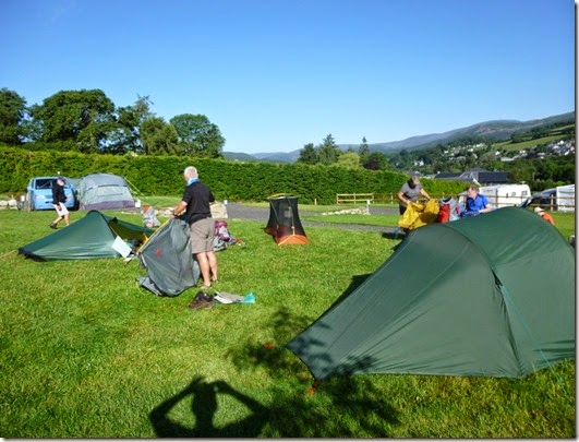
P1020286We were on parade by around 9am and both teams set off with grit and determination. Fortunately we managed to get rid of both fairly quickly.
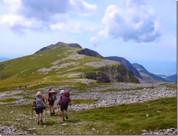
The route was up, up, up. It was only 7.5 miles but it was damned hard work. We were all carrying water which slowed us down considerably, without it we’d have really struggled. I carried nearly 2 litres and it was only just enough.
P1020289
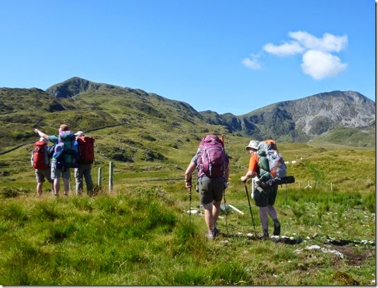
Upness towards Cadair Idris
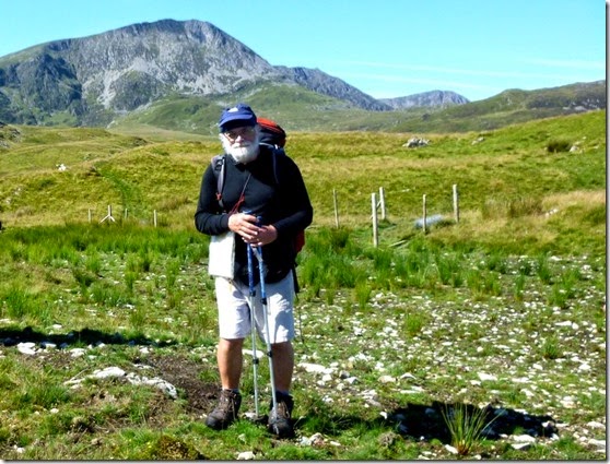
P1020290 The Pieman in posing mode, Cadair Idris in the background.
P1020294The Uphill Hotness
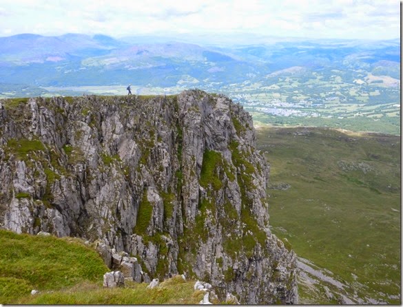
I’ve not walked around this area for around 20 years and I’ve forgotten how dramatic the scenery is. It’s definitely an area I’ll be going back to sooner rather than later.
P1020300
P1020301
This was intended to be a relaxed and laid-back trip but the extremely hot heat of the day meant we need to take more rest stops that normal. This was A Good Thing, I don’t do heat at the best of times and the stops were welcome.
P1020303
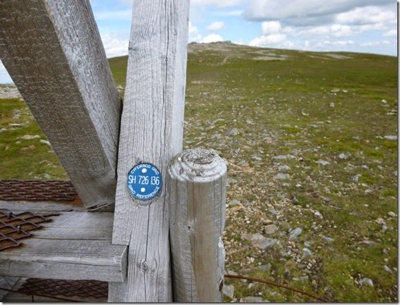
I was a bit surprised (pleasantly so) to find that many of the stiles in this area are identified with their map reference – very useful for navigation in poor visibility:
P1020307
P1020304
P1020306
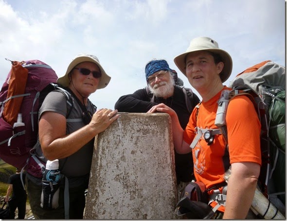
P1020315 Laura, Mike & Judith at the Cadair Idris trig point.
P1020309
We were all running low on water and we were keeping our eyes open for running water. It didn’t help that we were walking high on a ridge and any running water would likely be much lower down the hill side. A small bubbly spring was found – running with crystal clear water, it was wonderful! We drank our fill and then filled up our water carriers – our next quarry was a nice bit of flat ground for our overnight stop.
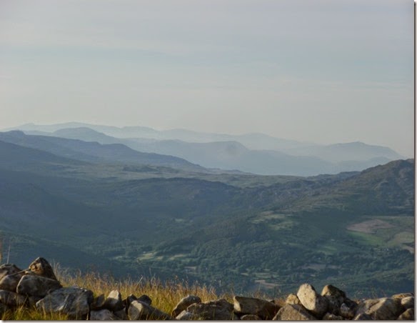
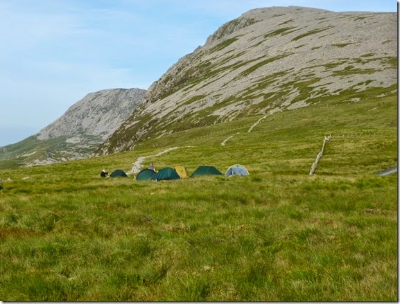
About 800m east of Carnedd Lwyd a suitable camping spot was found. It was a little breezy but absolutely fine. Within a few minutes the area had been transformed into a village of tents:
P1020328
The evening wasn’t without it’s moments: A naked man, surprisingly clean, was seen lurking around the tents, The Pieman attempted to burn his new Akto down, someone was seen licking clean the inside of her rucksack…..there was probably more. All very odd.
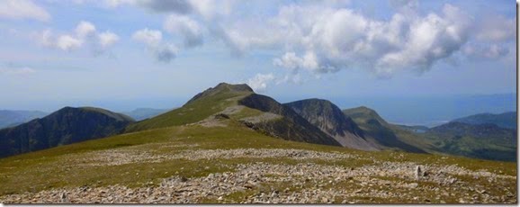
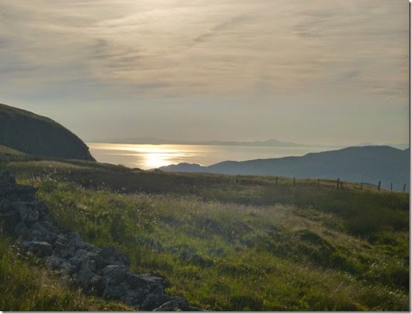
Anyway, back to the plot: We were still high up and so had the benefit of tremendous views over Barmouth Bay and much of Snowdonia:
P1020332
P1020337
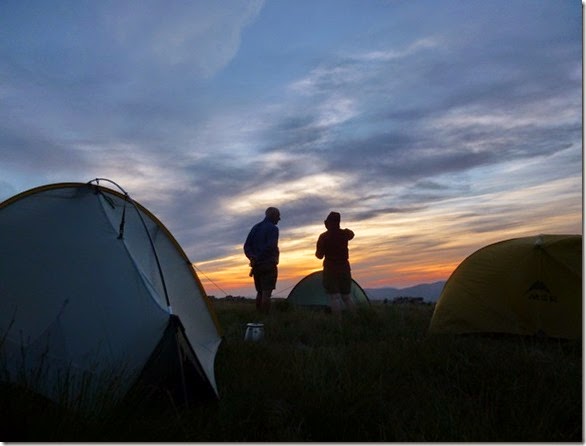
Some of us stayed up late (9.50pm!) to watch the sunset:
P1020350
P1020351
P1020352The cloud formations were unusual, a bit swirly in places….I should have twigged that this was an omen.
By 10pm it was a bit breezierer (that’s Timperley dialect by the way), nothing to worry about – I was in my Akto anyway. I zipped up the tent and was zonked out within not a lot of time at all. I stayed that way until, er, around midnight. So I got at least 2 hours sleep.

Day 4, The Great Wind and and the walk back to Barmouth

I woke to a slap in the face – it was the tent inner flapping around in the wind. I later learned that Laura in the tent next door spent most of the night sitting up in her tent trying (successfully) to stop it from flying away.
All was okay with my tent but it was clear that the wind was strengthening – it didn’t help that we were pitched on an exposed ridge. At 2am I plotted an escape route off the ridge and packed as much of my stuff as possible into my rucksack. Then I tried to go to back to sleep. The BBC World Service helped by keeping much of the racket of the howling wind from my delicate ears.
At 4am I popped my head out of my tent to see a light on in Dawn’s tent, I didn’t know it at the time but she was struggling too – a tent peg or two had popped out and her shelter had lost some stability.
At 6am I heard voices outside my tent but the BBC meant that I couldn’t tell what they were saying. I made my breakfast, had a couple of mugs of coffee and then decided to have a look outside. It was a bit of a shock to see everyone’s tent being packed away. The buggers were going to leave me, I’m sure of it! 
Mike’s original Plan was to continue along the ridge but it was decided to escape the ridge as quickly and directly as possible.
Our party left the ridge at around 6.45am and headed down to a sheepfold where those who hadn’t eaten could have their breakfast – that was everyone apart from me!
P1020359 Dawn, with Judith behind
P1020362
Breakfast Stop No1
The lower we got, the less strong the wind became. It wasn’t long before our warm layers were packed away and we made our way to Breakfast Stop No2 at Llynnau Gregennen:
P1020366
Unfortunately we’d lost Mike by this time, he went off to bag a hilly, humpy thing. He got a bit lost too.
P1020370 Back towards Barmouth
P1020373
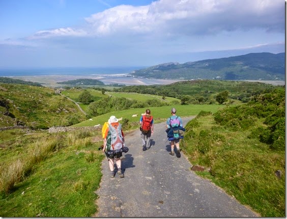
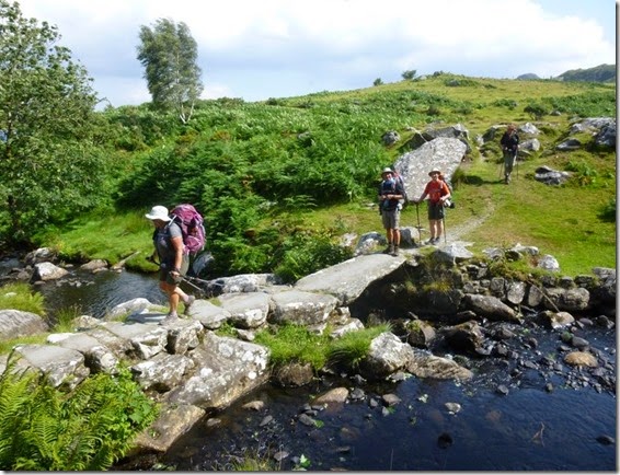
Crossing the slab bridge over the Afon Arthog close to Llys Bradwen
Then before we knew it we were back in Barmouth….and very welcome ice creams and cold drinks.
We’d had a good few days that didn’t go quite to plan, but what the hell – it was fun. I’ll probably go back follow the intended route at some time, hopefully it will be a bit cooler and nowhere near as windy.
image

More photos here

Tally-Ho! Whitworth Wander / Turkey Trot 2023

  Whitworth Wander – Turkey Trot, 27 th of a very wet December 2023 In memory of the late Brian Whitworth, a fine man, my friend, and a for...