Tosside to Chipping
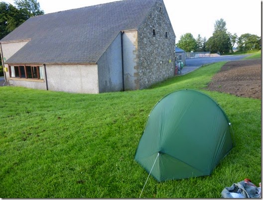
There had been a bit of a breeze overnight so condensation in and on the Laser Comp wasn’t too bad.
A lovely sunshiny, albeit hungry start to the day. Tosside’s only two eating establishments remained firmly shut. Fortunately I was carrying some emergency rations so things weren’t too bad. I need to lose some weight anyway.
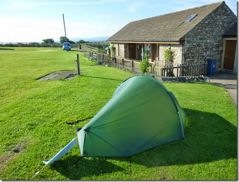 Campsite at Tosside
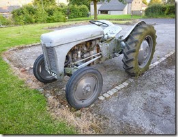
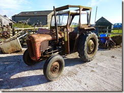
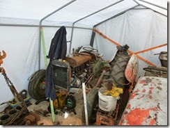
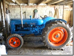
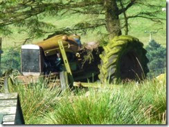
Before leaving my overnight pitch, the campsite owner took time to show me some of his tractors – these will be of particular interest to
Alan R.

The route out of Tosside is very pleasant indeed. Equally important, especially for the navigationally challenged like me, it’s dead easy to follow. Turning right after the (CLOSED…..I might have mentioned this before) Dog & Partridge pub onto a well surfaced track / roady thing into Gisburn Forest. A good pace can be attained on this stretch. If you like that sort of thing.
 The good track into Gisburn Forest
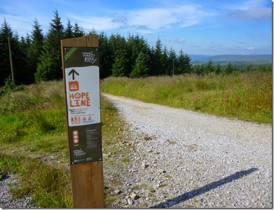 Thisaway
It wasn’t long before I took a wrong turning. This was my fault entirely, I was having such a lovely time wandering down the forestry tracks that I waltzed right past my turning at Bottoms Beck. I actually spotted the turning and thought that it looked quite nice, but I still carried on. What an idiot!
Anyroadup, this was really no big deal. There are loads of forestry tracks and as long as you have an up to date map it’s quite easy to get back onto the route, which is what I did. It would have been just as easy to double back but I was quite happy in exploration mode.
The Route Description points out that this is an area frequented by cyclists, it most certainly is. Even on this midweek day there were low-flying mountain bikes whizzing around everywhere. Bicycle bells must be seriously not cool, I didn’t hear one. You’ve been warned!
Arriving at Stocks Reservoir I was treated to a lovely cool breeze blowing in from the water. It was hot even at this (relatively!) early hour and any relief was very welcome.
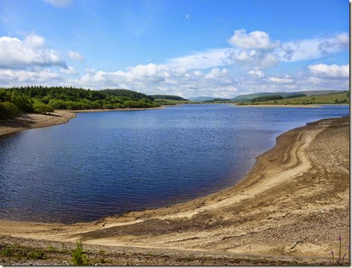 Stocks Reservoir
The next point of note is Dalehead Church – and if you have the time I’d suggest a quick look inside. The church was built in 1937 from material from Dalehead Parish Church which was demolished when Stocks Reservoir flooded the village of Stocks-in-Bowland. A few years ago the building began suffering a severe bout of dampness. A small wind turbine was erected at the rear of the building in order to generate electricity to warm the building. Along with some remedial works the building is now warm and dry.
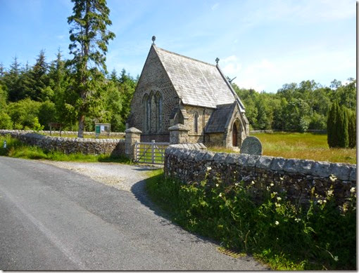
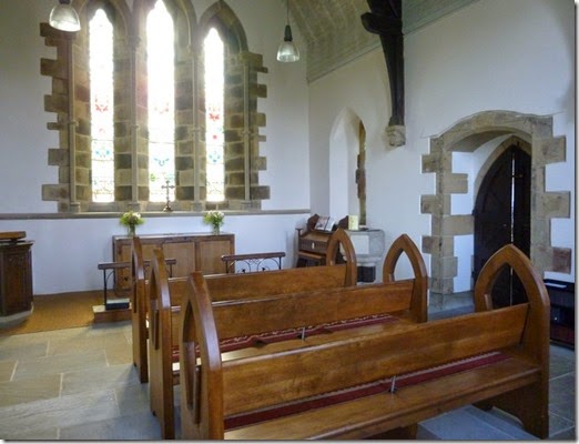 Dalehead Church, outside and in
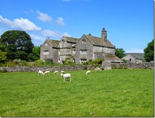
Back on the road again, now heading for the Elizabethan Hammerton Hall. I was just about to photograph the hall when I jumped out of my skin – the RAF were playing nearby and a fast (and loud) turbo-prop ‘plane appeared out of nowhere:
 ….well I think it was one of ours
Hammerton Hall. And shorn sheep.
An easy section from Hammerton Hall (and it’s shorn sheep) delivered me into Slaidburn and food and drink.
The village shop / Post Office was doing brisk business flogging butties and cups of tea. A bench seat outside the shop was just the job. I kicked my shoes & socks off and rested whilst enjoying my lunch. It was so hot by this time that I decided to sit out the heat of the day for a couple of hours.
I was tempted to call into the Hark to Bounty, but if I’d have done that I wouldn’t have walked any further that day.
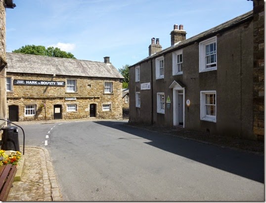 The view from my lunch bench
Whinge Warning!
Directly across the road from my bench was Slaidburn YHA. It had the look of a ‘real’ Youth Hostel, not one of the new breed of fancy hotels that masquerade as YHA hostels.
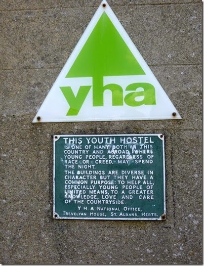 The Youth Hostel Association – providing a bed for the night for young people, especially those of limited means.
Who are they trying to kid?
Remember when Youth Hostels used to save beds for cyclists and walkers? That was a LONG time ago. Booking online with your Credit Card is the New Way. That’s provided the hostel hasn’t been taken over by a school party – they demand sole occupancy. Or a Hen Party. It’s all very sad, but rucksacks have given way to suitcases.
I wonder what those who donated buildings to the YHA would think now if they saw the way things have changed.
I now prefer to use Independent Hostels – often cheaper than YHA hostels and more often than not much better.
End of whinge.
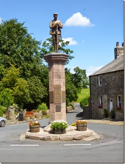
Slaidburn has a distinctive War Memorial, really quite serene – if that’s the right word:
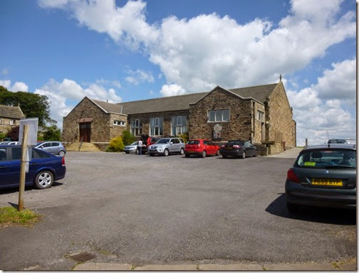
Just down the road from the War Memorial came the next checkpoint at Slaidburn Village Hall:
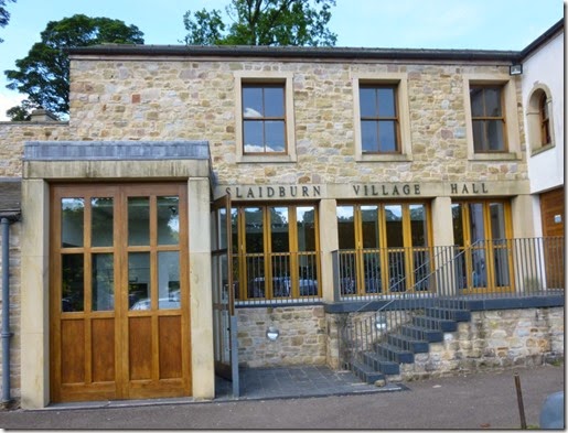 Checkpoint 8, 56 miles
There was something going on in the hall, there may have even been a WI coffee morning / afternoon or whatever, but I needed to head off on the next leg of my walk to Dunsop Bridge.
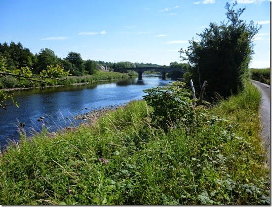
The next section was lovely, generally following the course of the River Hodder:
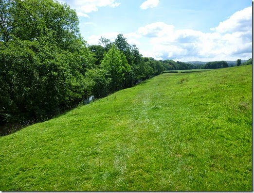 That’s the River Hodder on the left. Honest.
In spite of an extended lunch break it was still very hot. This made fast progress all but impossible. At least it wasn’t raining.
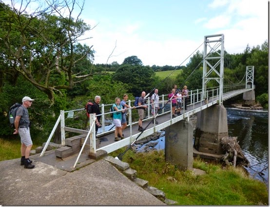
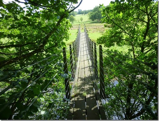 Footbridge over the River Hodder
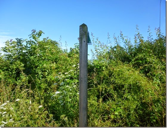
There was a bit of a navigational faff around SD682502. I didn’t find it particularly easy to follow the path. On reflection I might have been better off following the road into Dunsop Bridge. This thought was reinforced when I had to walk through a horribly fetid swampy bit of path around SD667503. Considering that I was doing the walk in a particularly dry spell of weather, I suspect that this bit could be a bit nasty in the wet.
There were a couple of other hindrances on this section:
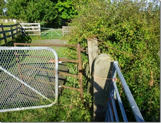
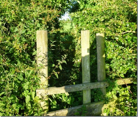
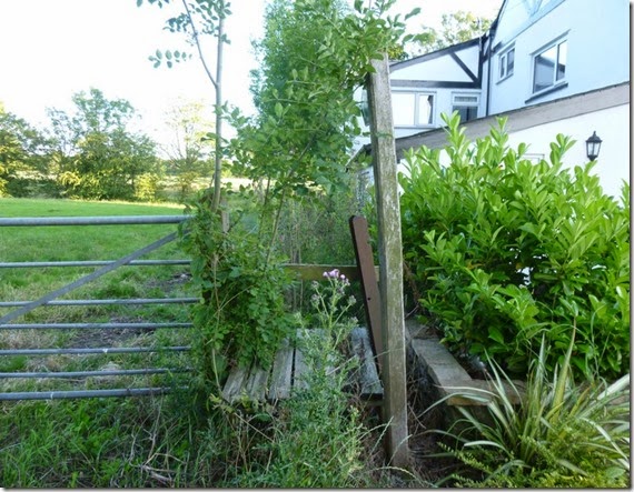
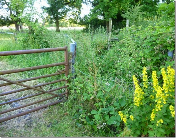
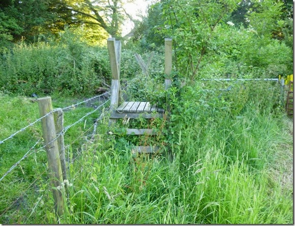
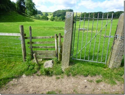 The dodgy stile and the gate wired shut with barbed wire
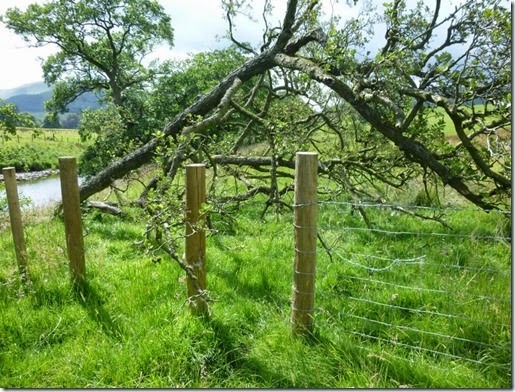
The fallen tree blocking the footpath
I imagine the tree problem will be sorted in time for next May but I’m not convinced that the dodgy stile will be repaired.
Dunsop Bridge has a curious tea room – Puddleducks. It probably gets that name from all the ducks that wander around that part of the village. What’s curious it that it closes at 4pm – just at the time when I would suspect most people might want their tea! I managed a piece of cake and a pot of tea at 3.55pm but I could tell that I was considered a bit of a nuisance. I was a bit miffed when I was directed to the garden hose when I asked to fill my Platypus. Puddleducks didn’t strike me as a friendly or welcoming place.
The next 2km (around 1.25 miles in old money) were on tarmac, a lovely quiet lane that just happened to pass the next checkpoint:
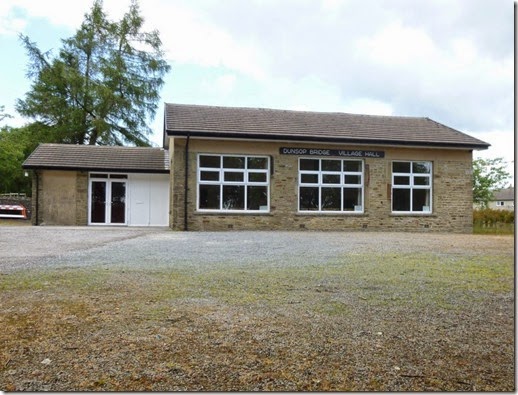 Checkpoint 9, 61 miles
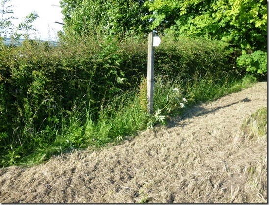
Leaving the road at Hareden, the route climbs up the side of Totridge (Fell?). It’s easy to get diverted from the proper route here and I had to keep an eye on map and compass….and, er, GPS.
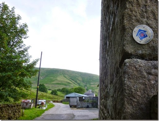 Hareden, with Totridge behind
I found it best to keep to the left of the wall as you ascend the hill, this will get you to the stile and gate at SD644497 and everything will be hunky-dory and rather spiffingly good.
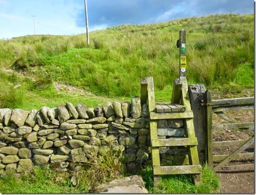 A spiffingly good gate and stile
My intended camp spot was just before Lower Fence Wood but the ground wasn’t really good for camping, there were too many moo cows around and the running water looked a bit fetid, even for my Travel Tap.
I decided to continue through Lower Fence Wood and keep my eyes open for a nice grassy spot with a fast running stream close by, a pub (with a chippy next door) in walking distance etc but it was not to be.
As I walked through the wood on what was initially a good path, I came across a major blockage. Of the path that is, not me. I was fine.
There were over a dozen fallen trees completely blocking the path. There was no way round –the woodland was too dense. The only way was forward and it took me ages to get through. This really needs to be sorted for next May – whether it involves a re-route or a man with a chain saw. (I’ve got a chain saw…..just sayin’).
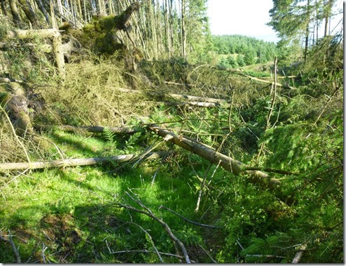 Just part of the blockage at SD642481
Once through that little lot I thought my troubles were over, they were really. It’s just that going through Dinkling Green Farm at SD 639468 was a bit confusing. I’m easily confused. I may have pointed this out before….
By this point it was clear that I wasn’t going to be able to find anywhere to camp, the farmland just didn’t lend itself to stealth camping let alone a ‘proper’ campsite. I decided to continue to Chipping – for there would be beer and maybe even a chippy.
Navigation Heads Up:
About 1km south of Lickhurst Farm, at around SD631453 (it’s good to have a GPS handy!) where there’s a dodgy ‘bridge’, take care in plotting a bearing to the footbridge (SD629452)that’s seriously well hidden at the bottom of a deep gully. I’ll leave you to do the Pythagoras-type calculation. Or you could just follow your nose until you find the gully. The gully isn’t terribly difficult to locate but the hidden footbridge is a pain in the derriere to find – especially in the dark.
By the time I’d battled through that lot it was getting late. I had a lovely cool walk into Chipping….where there isn’t a chippy (well not one that I could find anyway), but there IS a most wonderfully excellent pub: Tillotson’s.
You should visit
Tillotson’s, not when doing the 100, but whenever you get the chance. The beer is tremendous, the landlord (Curly) is a great bloke – he even offered his back garden as a camp spot for me, the food is good….it’s a proper pub. You should definitely go.
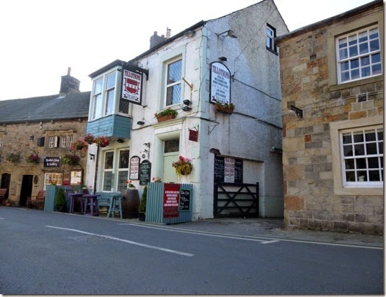 Tillotson’s in Chipping.
As it happened the pub’s back garden wasn’t really suitable for pitching my tent because the ground was a bit too lumpy. I ended up walking over to the Village Hall and I put my tent up on it’s lawn. A quiet and comfortable night’s sleep followed.
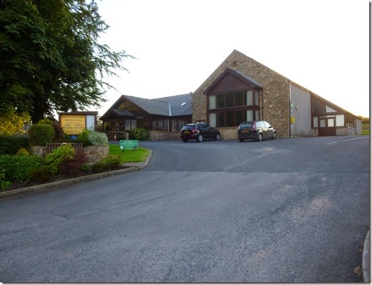 Checkpoint 10, 68 miles
The day’s fun and games:
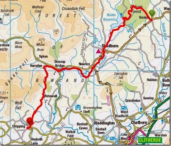
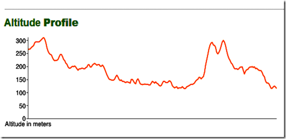
20 miles..with some up and downery:
Check out the route I actually did on
Viewranger.
