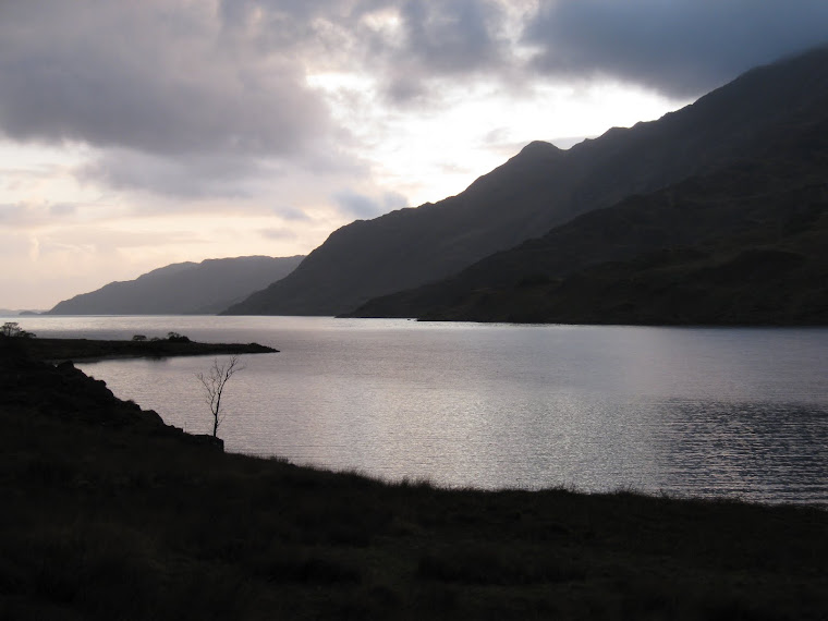
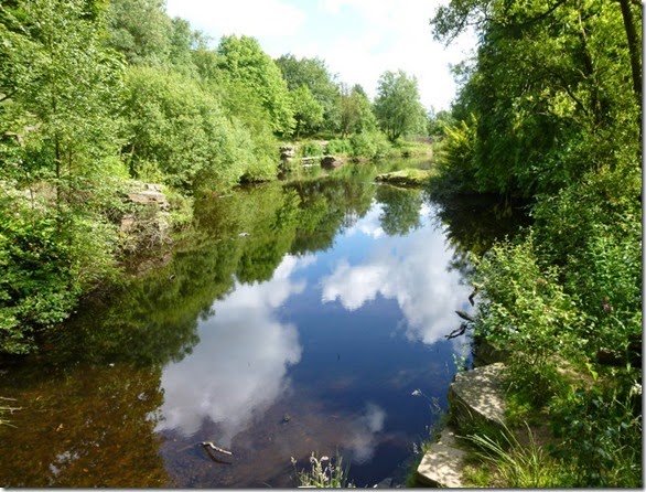
View from Oban Bothy

View from Oban Bothy

Monday 14 July 2014

Monday 7th July 2014, LDWA Red Rose 100 recce, Day 2

Blackburn to Barley

I awoke to a wet tent – a heavy dew on the outside and lots of condensation on the inside. and I was using my Laser Comp, NOT my Akto!
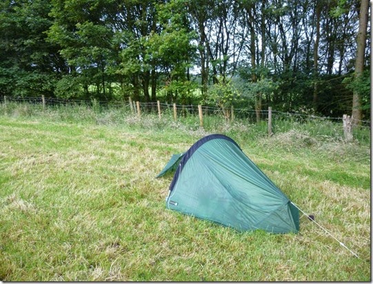
P1020072
I set off at around 7am and headed for the site of Checkpoint 2, St Francis Church Hall, Feniscliffe, 16 miles into the 100 mile route.
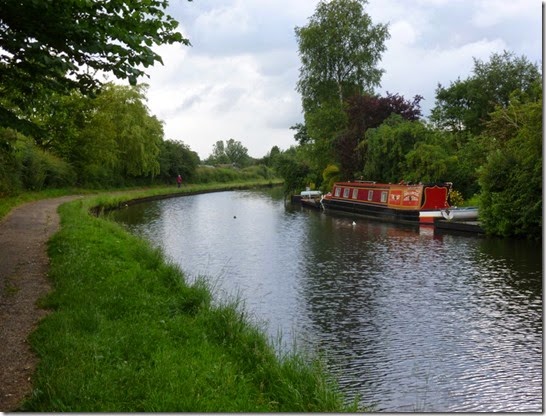
P1020079 Leeds Liverpool Canal, en-route to Feniscliffe
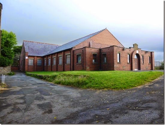
P1020083 Checkpoint 2, St Francis Church Hall, Feniscliffe
As I’d stopped short of my intended pitch the previous night there was still a couple of miles to go to get into Blackburn where I was planning to raid a butty shop or cafe for breakfast. It seems that Blackburn’s butty shops don’t open too early and I had to go off route and into the town centre to get my brekky.
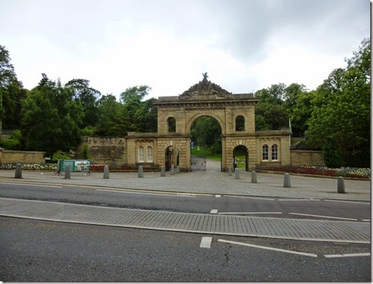
P1020084  The grand entrance to Witton Country Park
I ended up walking through the streets of Blackburn for 3-4 miles altogether, just to get fed. This also meant that I missed a section of the official route….but at least I got my breakfast! This was the only time during the entire trip that I needed my waterproofs – it rained quite heavily for around 30 – 40 minutes. Then the sun came out again.
 P1020087
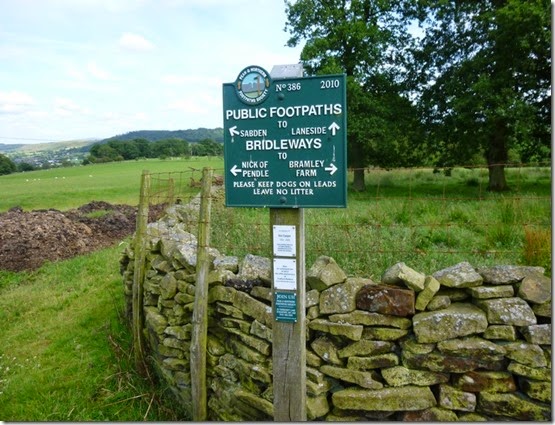
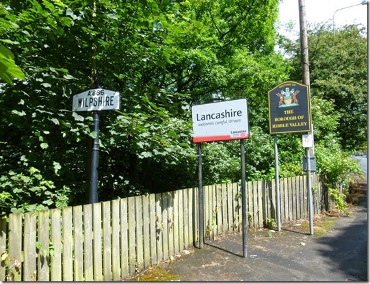
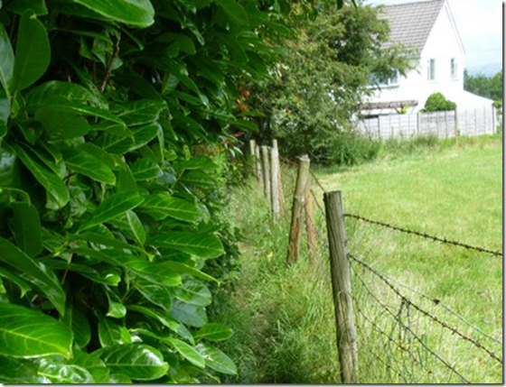
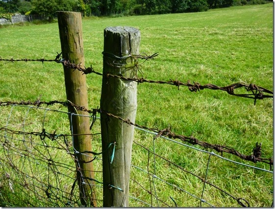
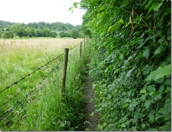
I regained the route at Wilpshire and it was here that I first encountered the curse of the overgrown hedge + barbed wire. The footpath to Hollowhead Lane was made very narrow by the overgrown hedge - combined with a not very nice rusty barbed wire fence on t’other side.
This was A Very Bad Thing. 
This is the part of the route referred to in Para 3.9 of the route description issued by East Lancs LDWA.
image
P1020092 
Anyroadup, I headed north-east alongside Parsonage and Dean Clough Reservoirs. I encountered dog walkers, mountain bikers and road cyclists – all out to enjoy the sunshine. I was enjoying my walk so much that I managed to successfully wander off route – not for too long though.
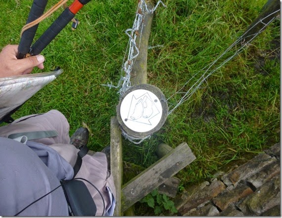
P1020095 
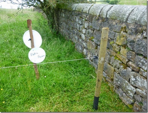
P1020097There were more barbed wire encounters. There was even an eletric fence encounter. I wonder if there’s a law about the use of barbed wire? Inappropriate use of the stuff is really quite dangerous. I was getting the distinct feeling that it was being used to deter walkers rather than to keep livestock contained.
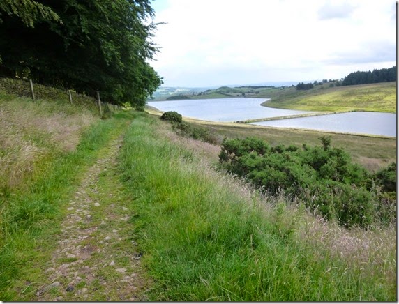
P1020099 Dean Clough Reservoir
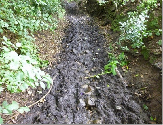
Although the recent weather had been good and dry, there were still muddy bits. I can’t imagine (or perhaps I can!) what this path would be like after prolonged rainfall:
P1020100
To be fair, nearly all paths I’d encountered so far would be fine in wet weather.
P1020104
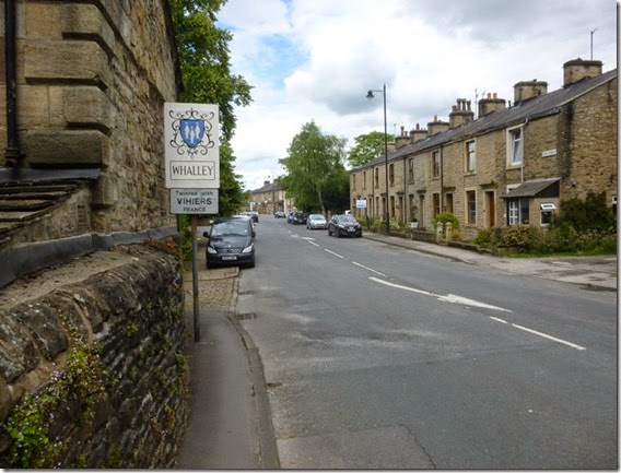
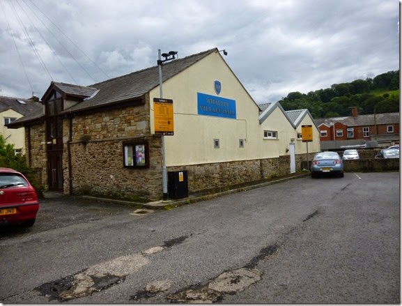
Next stop was Checkpoint 3, Whalley Village Hall:
P1020105
Whalley also meant lunch. The local Spar provided the the necessary and the local church yard provided the site. I took the opportunity to further dry my tent, I just spread it out in the sunshine. I must have presented a strange sight: a bloke in bare feet, socks and shoes steaming gently, a tent spread out….heaven knows what passers-by thought of me!
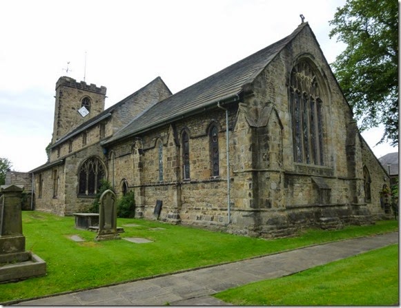
P1020108 Lunch spot, Day 2
Leaving Whalley there was another barbed-wire / overgrown hedge problem – at least the barbed-wire was on the field side of the fence posts rather than the footpath side:
P1020111
The route crosses the A671 shortly after leaving Whalley and a path should be taken to Clerk Hill. Those walking the route should read Para 4.3 of the route description…..like wot I didn’t!
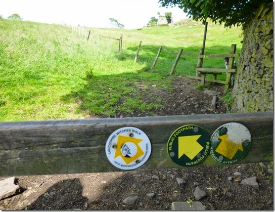
Just to clarify: DON’T go into the car park / woods, the correct route is through the golf course. I’d also be a bit careful leaving the golf course footpath, the correct route isin’t terribly easy to find.   
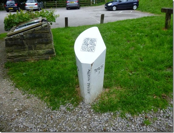
P1020112 If you pass this you’ve taken the wrong path
I can thoroughly recommend Harmsworth Ice Creams though.
P1020113
P1020115
Worralot of ways 
The climb up to the Nick of Pendle was a bit sharp but the reward of good views was well worth it.
One should watch oneself here. Spence Moor is a wee bit boggy, muddy, fetidly swampy in parts and it’s very easy to go off-route. Keep an eye on your map and compass and all will be well. But you might get a bit mucky.
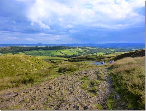
P1020116 Looking back from the ascent to the Nick of Pendle
 P1020118
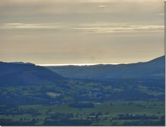
 Westwards. The bright and shiny bit is the distant Irish Sea.
Anyroadup, Pendleton Moor and Spence Moor came and went. My intended wild camp spot of Fell Wood. proved unsuitable – no water y’see. Pendle Hill was now in full view – that had to wait until the following day.
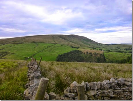
P1020120Pendle Hill 

Oh Pendle, Oh Pendle thou standest alone,

‘Twixt Burnley and Clitheroe, Whalley and Colne,

Where Hodder and Ribble’s fair waters do meet,

With Barley and Downham content at thy feet.

I continued, vowing to stop at the first suitable spot – which wasn’t until the village of Barley. It was only another mile or so but it was well worth it.
Another nav warning: the footpath at SD823398, I found it difficult to locate this path on the ground. Again, keeping an eye on map & compass will help enormously.
I walked into the village, calling in to the open village hall (Checkpoint 4) to fill up my water carriers.
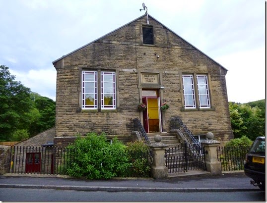
P1020125 Checkpoint 4
I ventured further…and found a pub. Oh tsk.
The pub served a selection of excellently well kept proper beer…an appropriate place to rehydrate then! I made use of the pub’s facilities and managed a top-to-toe wash down before returning, smelling slightly less horrible, to my beer. and crisps. And meat pie & mushy pea’s. Mike would of liked it here, the pie’s were good.
Another beer or two later and the pub went into shutdown mode….at 10pm! Whatever happened to pubs staying open until closing time? I left the pub and headed for the local park: nice flat grass, secluded, with picnic tables….and, sheer luxury, a loo!
I slept comfortably that night – although only for a few hours.

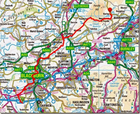
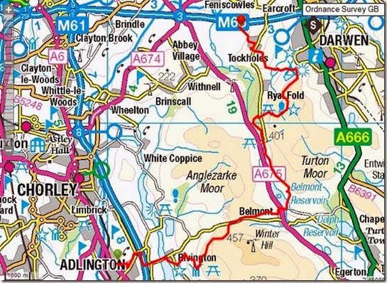
And here is wot I did for 23 miles:

Route Day 2 OS
The route can be viewed in more detail here….but i’d rather you didn’t look too closely ‘cos you’ll see all the places I went wrong.

Sunday 13 July 2014

Sunday 6th July 2014, LDWA Red Rose 100 recce, Day 1


The East Lancs LDWA are hosting the annual 100 mile walk on behalf of the Long Distance Walkers Association, LDWA, in 2015.

This event is the LDWA’s flagship event. Held every year in a different part of the country, to coincide with the late May Bank Holiday,
This is a record of my recce of the route that I backpacked over 6 days in July 2014, shortly after the route had been publicised.
Adlington to Blackburn

My original plan of a morning start was tweaked for two reasons: firstly it was a hot day and I didn’t want to be walking into increasing temperatures, secondly I was planning a stealth camp that first night and didn’t want to be arriving at my planned overnight pitch too early, and thirdly I hadn’t got my backside into gear. Three reasons.
I’d arranged to park my car outside the house of legendary long distance walker Reg, a former Timperley resident. Reg now lives in Adlington, near Chorley which is perilously close to the official start of the main route and so it suited perfectly. I now owe Reg a substantial quantity of beer in exchange for his kindness. Thanks Reg!
Anyroadup, I left Reg’s at around 3pm in hot sunshine and headed off in a sort of Easterly direction. East is good you know.
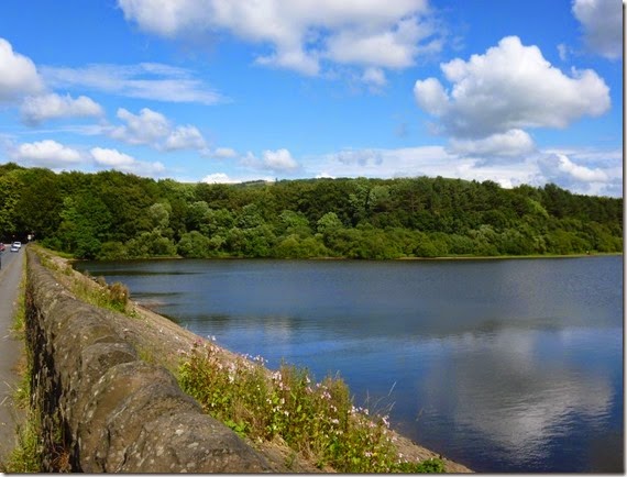
P1020038 Rivington Reservoirs
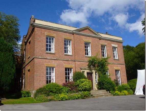
I crossed over the dam that carries the road across Rivington Reservoirs to Rivington Hall, a favourite haunt of motorcyclists on sunny Sunday afternoons.
P1020041Rivington Hall 
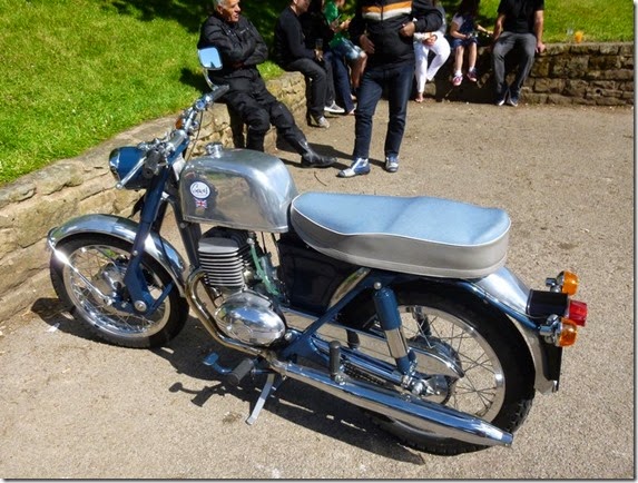
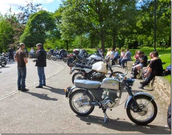
There were loads of flashy bikes around but the one that caught my eye was a beautifully restored Greeves fitted with a modified Villiers 197 engine:
P1020042
P1020043The Greeves from t’other side, and some of the other bikes 
Leaving the hustle and bustle of Rivington, the route climbed through Rivington Country Park, a legacy of Lord Leverhulme. The paths were easy to follow and quite busy, loads of folk were out and about for gentle afternoon ambles in the lovely sunshine.
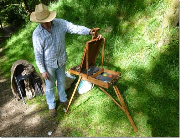
P1020045An artist with his very clever French Easel….
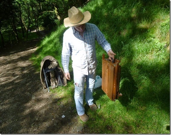
P1020046   ….that packs away to this. Clever eh?
P1020047
P1020048 
P1020049The Pigeon Tower where there were reet good views over t’Lancashire countryside
Looking ahead to the main event next May (which I shan’t be doing) some of the stony tracks are likely to cause the front runners a problem. I suspect one or two may take the odd tumble on the uneven surface:
P1020052
The route went over Horden Stoops, down to the village of Belmont and then skirted the southern shore of Belmont Reservoir before joining the Witton Weavers Way and then to Slipper Lowe, the site of the event’s Checkpoint 1.   
P1020054
Belmont Reservoir
P1020056The path to the site of Hollinshead Hall and Slipper Lowe

P1020058 The picturesque site of Checkpoint 1
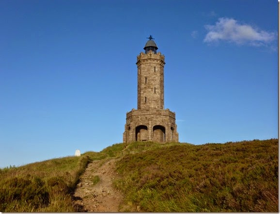
Next point of significance was Darwen Tower, or more accurately Jubilee Tower. This rather magnificent structure, completed in 1898, was built to commemorate Queen Victoria's Diamond Jubilee.
P1020063 Jubilee Tower
It’s not a difficult pull up to the top but I decided to eat my butties before, to paraphrase Julia Bradbury, ‘the final assault on the summit’.
P1020066
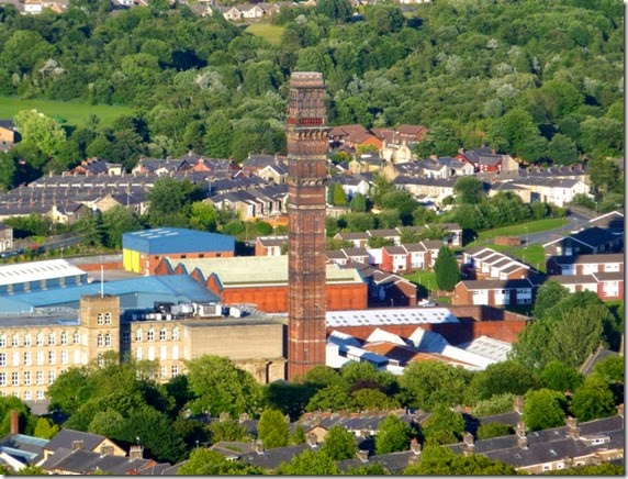
India Mill Chimney, viewed from Darwen Jubilee Tower
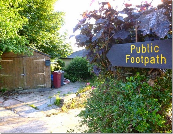
The only navigational problem I had on this first day was from Tockholes, after descending from the tower. Both the map and the route description tallied perfectly, but the footpath signpost was completely contradictory – I suspect the signpost may have been deliberately aligned to confuse.
P1020070Footpath to nowhere 
I ended up going off-route – but not a lot. A tarmac detour did the trick and I was back on the proper route. Perhaps a 20 minute faff.
My planned stealth camp for the night was in Witton Park, Blackburn. ‘City’ stealth pitches are far from ideal and I wasn’t really relishing the prospect. Walking though a grassy field, just south of the M65, I spotted a lovely secluded and hidden corner – just the job. There was even a stream very close by. It didn’t think it wise to drink the stream water, even after boiling, I was glad to have brought my Travel Tap water filter with me.
Unfortunately the warm evening was quite still. And there were trees. And that stream. And therefore midges. Thankfully there was also Deet.
Overall this had been a very easy section to navigate and really quite pleasurable. The only fly in the ointment was the Tockholes Navigational Faff which will be reported to The Commitee for further investigation.

Where I went:

Route Day 1 A more detailed view of the route can be found on Viewranger.

Saturday 5 July 2014

100 mile walkies

I’ve not been sleeping at all well of late, so….

Tomorrow morning I’ll be setting out to walk from Rivington in Lancashire to, er, Rivington in Lancashire – a distance of 100 miles.

The route I’ll be following is that of next year’s LDWA 100 event, The Red Rose 100. The Plan (I love A Plan!) is for me to walk the route in about 6 days, stealth / wild camping en-route.

Those taking part in the actual event itself next May will have to complete the route in 48 hours. I’m taking the easy option.

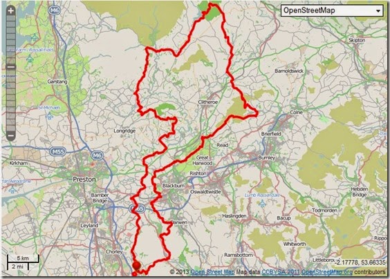
The route:

Route That’s Rivington at the bottom, where the red blob is. I’ll be going widdershins.

If anybody fancies coming along, a GPX file can be found on Viewranger here. If the link doesn’t work just go on Viewranger and search for ‘LDWA Red Rose 100’. I’ll be checking my emails as and when I can – my email address can be found somewhere on the right of this page.

I’m intending doing 17 – 20 miles a day, camping where I can – the spreadsheet below is my feeble attempt at getting as organised as Gayle. I think I’ve very successfully failed!

CP No Camp Location Map Ref Mileage
1   Slipper Low car park SD664203 8.5
2   St Francis Church Hall, Feniscliffe SD662268 16
  Stealth camp Witton Country Park SD657277 17
  Scout campsite Bowley CS SD734339 25.5
         
3   Whalley Village Hall SD734361 27
  Stealth camp Fellwood SD812398 34
4   Barley Village Hall SD822402 35
         
5   Downham Village Hall SD787440 40
  YHA camping barn West Lane Farmhouse, Downham SD795445 41
  BPC campsite Fields House Farm SD766456 43
         
6   Bolton-by-Bowland SD785493 44
7   Tosside Community Hall SD769560 49
  Hartley's Farm CS Tosside SD769555 49
8   Slaidburn Village Hall SD713523 56
  YHA Slaidburn YHA SD711523 56
9   Dunsop Bridge Village Hall SD657501 61
  Wild camp E of Totridge SD642488 63.5
         
10   Chipping Village Hall SD621432 68
  YHA camping barn Clark House Farm SD616435 68
  BPC campsite Lower Core Farm SD587439  
11   Hurst Green Memorial Hall SD684382 76
  BPC campsite Lower Alston Farm, Ribchester SD649349 80
12   Mellor Brook Community Centre SD641312 84
13   Hoghton Village Hall SD614264 89
  Stealth camp Leeds Liverpool Canal towpath, Riley Green SD624251 90
14   St Lukes Church Hall, Brinscall SD629214 94

I hope this will help my sleep pattern. I’ll be back in a week.

Tuesday 1 July 2014

Lunch on High Spy

A last minute brain-straightening backpack in Cumbria. The weather has been glorious for the last couple of days although rain is forecast for tomorrow.
The photo is my view looking north from my lunch stop at the cairn on High Spy.
Hidden from view is my intended pitch for tonight,  Keswick = beer and fish and chips.


Monday 30 June 2014

Sunday 30th June 2013, Midlands Magic

Anyone who enjoys the great outdoors doesn’t need telling of it’s spirit-enhancing powers. Having had a particularly crappy couple of weeks I felt the need to ‘get out there’.
Ideas for a long trip are now being put together, but in the meantime a shorter, single day walk was needed as a matter of urgency.
Today’s little jaunt was c/o Outdoors Magic, a fine bunch of folks who inhabit t’interweb, hilly bits of countryside….and the odd pub. Or two.
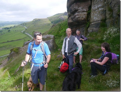
Simon was the main instigator, and being as wot he lives in Leek a wander around The Roaches was deemed appropriate. Since the idea was first mooted, the list of those wishing to attend just growed and growed. Eventually eleven bodies (well it was eleven if you include the three doggies) assembled in the car park of the Three Horseshoes pub at Blackshaw Moor. The sun was shining a bit and my choice of shorts had proved to be a good ‘un – although my white and pimply legs stood out against the muscly, tanned legs of the other OMers.
It was good to catch up with Skip, The Teesdale Viking, and Ella – her doggy. The rest of the group were strangers to me – but there did seem to be a lot of Mikes in attendance.
P1020494First up of the day
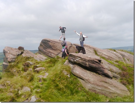
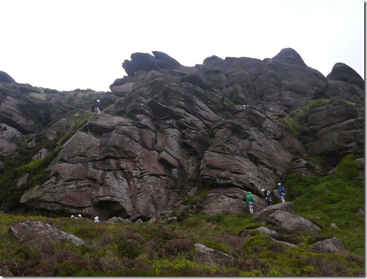
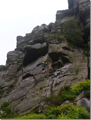
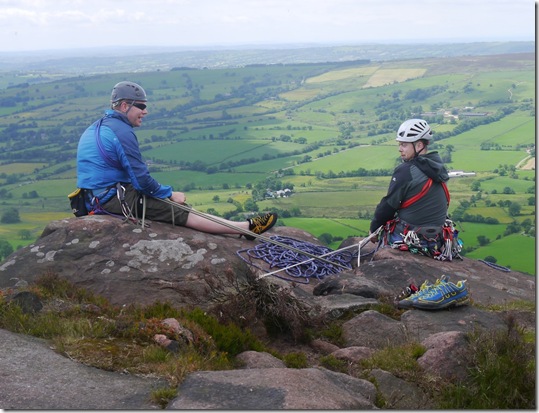
The Roaches, Hen Cloud and Ramshaw Rocks are a rocky escarpment formed from gritstone and their appearance is quite spectacular. The area is very popular with rock-climbers, indeed we saw a goodly number out today.
P1020496 First stop of the day, Simon (our glorious leader on the Left)
Up and down we went. Then up and down again. To be honest I’m not at all sure where were went. I spent a good half-hour looking at my map this evening, and apart from picking out a few features that I knew we visited I just can’t be sure of the route. What I can say about the route with absolute certainty is that is was a bit good – not the usual trade-route along the Roaches to Lud’s Church and back.
So, anyway, I’ll just write less about the route – and put up some nice photos.
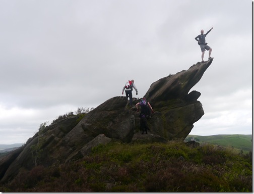
P1020500Posing on top of the escarpment
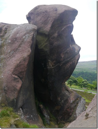
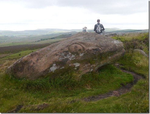
There are plenty of wonderfully-shaped tors and other rock formations in the area, imagination can run riot when looking at some of them:
P1020505
P1020511 A face?
P1020521 Reptile Head
P1020522 
He’s got more bottle than me!
P1020526
Crag rats
P1020535
Even more Crag Rats
P1020548 
P1020533
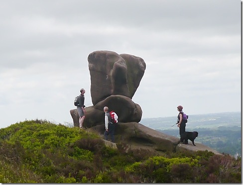
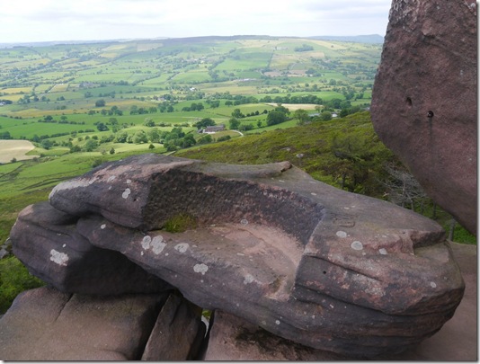
The Queen’s Chair
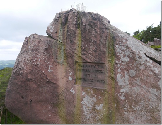
Although why the Queen’s Chair is so named is a bit of a mystery – especially as the spot was visited by the Prince and Princess of Teck a bit back:
P1020532I tink Teck is German or perhaps has some German connection. I dunno. I shall have to ask 'er indoors – she knows everything.
More views over the surrounding (and some quite distant) countryside:
P1020553 Alderley Edge
P1020558
The pimple on the skyline is The Matterhorn Shutlingsloe
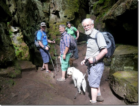
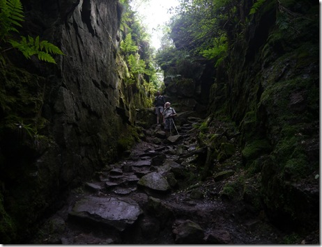
After not a lot of time we dropped into Lud’s Church, which isn’t a church – but a cave. and not really a cave because it’s not go a lid on it. It’s really just a deep and rocky gully. Because it’s so deep there are lots of ferns and probably a few rare plants down there, the conditions are moist and quite stable.
P1020560
P1020565
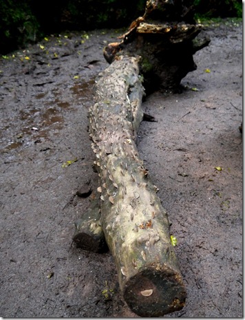
P1020568 The remains of a very rare money tree
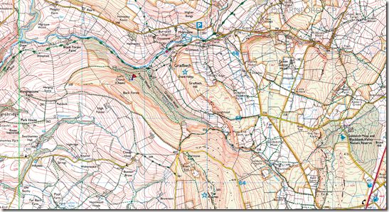
Here’s a map with Lud’s Church on – highlighted with a little red flag:
image It’ll give you some idea of the terrain but it won’t show the mud in Lud’s church.
Lud’s Church behind we sort-of turned back, south-eastish through Forest Wood (isn’t that a bit like saying Wood Wood….or Tree Forest?) that followed the valley of Black Brook. A bit of a tug up to Roach End – and an ice-cream van. Well it would have been rude not to. So I wasn’t, and after parting with £2 I was presented with an enormous and delicious ice-cream. And it was none of yer Mr Whipee crap. Oh no, this was REAL ice-cream. Yum!
Some of our party chose to walk along the top of The Roaches, whilst others (me included)followed the very pleasant road back. There was very little difference, timewise – we were all back at the car-park within a few minutes of each other.
‘Twas a good day out, just what the doctor ordered. Thanks to the entire party for letting me come along, for sharing, for putting up with me – especially Meravingian for making it happen.
I think we ended up doing around 13.5 miles and we seemed to visit Hen Cloud, Ramshaw Rocks, Roaches Ridge and Lud’s Church – although we missed out the spectacular Hanging Rock. I’ve been to Hanging Rock loads of times, but it still takes my breath away from the top!  Hopefully some kind soul will tell be where we actually went today so I can put up a route map.
More pics, including some really interesting shots of the rock formations.

Tally-Ho! Whitworth Wander / Turkey Trot 2023

  Whitworth Wander – Turkey Trot, 27 th of a very wet December 2023 In memory of the late Brian Whitworth, a fine man, my friend, and a for...