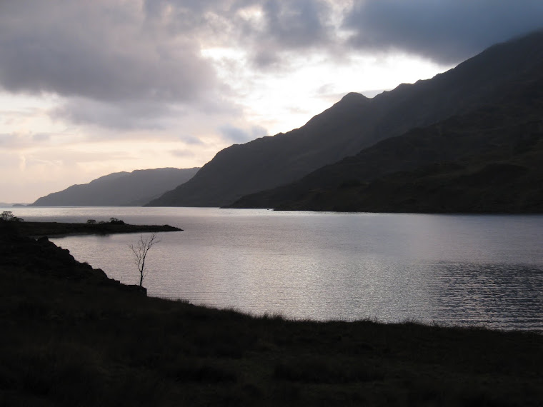
A Warm Wensleydale Wander: 50 miles in 24 hours.

8.15am, Harmby Village Hall, the event centre
Even at 7.30am the sun was beating down hotly (very hotly) on Harmby, near Leyburn in the Yorkshire Dales.
200+ walk entrants were liberally slathering their bodies with Factor50 in an attempt to ward of the effects of the strongest sunshine we’ve seen in a long while.

Pep Talk Time
At 8.30am a whistle was blown and we were off, heading to Castle Bolton, CP1, 8 miles away.

8.30am and we’re off, 50 miles to go. (Julie S in the foreground – I didn’t see much more of her until the end!)
I teamed up with Michael from Nidderdale LDWA and Izabela from West Yorkshire (?) LDWA. Michael and I were amongst the 20 entrants who had also taken part in the first Afoot in Two Dales in 2004. Izabela clearly thought that Michael and I really shouldn’t be allowed out in the hills without a responsible adult…she was that person.
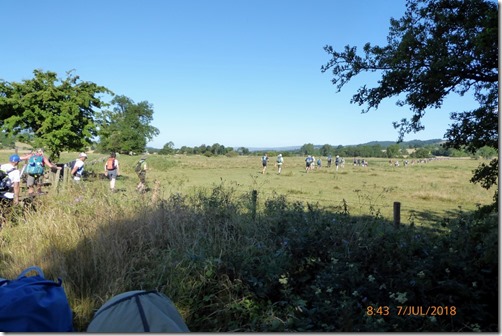
Bottleneck at Stile No1

Michael and Izabela posing at SC#01, Redmire
We were now comfortably very close to the back of the field, given the very high temperature we were happy with this – as long as we could complete within the 24 hours allowed. No point in blowing a gasket trying to finish in a daft fast time.

Approaching Castle Bolton, CP1
The first checkpoint was at Castle Bolton, 8 miles into the route. We arrived just after 11am = 3.2mph. The checkpoint was to remain open until 3pm so we were well within time. We were offered snacks, drinks (incl Dandelion & Burdock!), a loo, and the opportunity for a sit down….in addition to the loo. The marshalls looked after us well.

Me with Eileen G. at CP1: two cool dudes!
Suitably fed, watered and refreshed we continued on our merry way to CP2 at Haverdale House, 7 miles away.
It was getting hotter, I’d glugged 500ml of SIS Go Hydro electrolyte drink at CP1 – I’d needed it.

Apedale Road in the heat
We arrived at CP2, Haverdale House (15 miles), at around 1.30pm = average speed (including stops) 3mph, quite respectable. The checkpoint was a tent. There was plenty of food and drink to refresh the hungry & thirsty walkers – and runners. Much of the food was sugary: cakes, biscuits, sweeties etc, I think the runners and faster walkers must have snaffled most of the savouries – although the pork pies and salted peanuts on offer were certainly welcome.
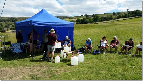
Haverdale House, CP2
Izabela, who was on her first 50 miler, was moving very well indeed – she’d been a bit concerned that a long challenge like this would be a walk too far.
She was cool. Michael and I were, er, perspiring. Gently.
The Beeb had under-estimated the temperature. They’d forecast a max of around 25degC, it reached over 29degC – think walking into a hairdrier. Hot.
We left the checkpoint and headed west, following the course of the R Swale to click ourselves into SC#02 at Marble Scar, just west of Gunnerside.
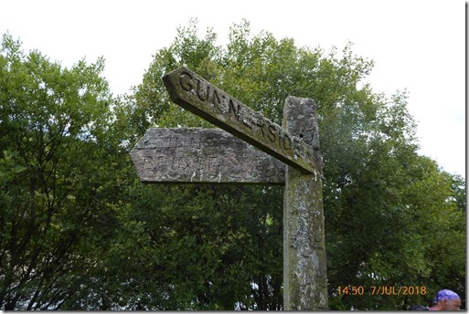
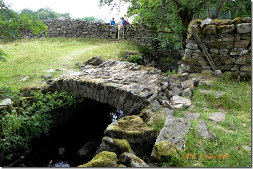

Michael, having passed through a stile, single file. Obv.
Minor roads and footpaths led us to yet another Self Clip, SC#3, at Rampsholme Bridge.
It appeared that a football match of some national importance had taken place – ‘We won!’ was a cry we heard frequently over the next hour or so.
Somehow we seemed to have lost Michael – I’m not sure if he’d left a CP earlier than us – or t’other way around. Whatever, the separation wasn’t terribly long-lived.
The next checkpoint, CP3 (20 miles), at Muker, hosted too many temptations to ignore….an ice-cream shop, The Farmers Arms, a public loo…and the checkpoint itself. We took advantage of everything – apart than the pub. And there were Michael. And Eileen, resplendent in her floral dress. The checkpoint itself was excellent – we even had mugs of tea…although very refreshing I’m not convinced of the wisdom of having a hot drink in such high temperatures.
I don’t recall what time we arrived (or left) CP3 but we were making decent progress. Next stop would be Hardraw (CP4)….via Thwaite and Great Shunner Fell.
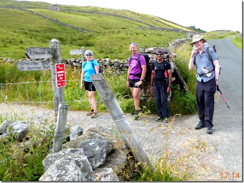
The Great Shunner Fell turn-off
L > R: Izabela, ?, Raj, Michael….all (still) smiling
Like so many hills, Great Shunner Fell looked like it would be a bit of a tug but in actual fact it wasn’t too bad at all. I recall that in 2004 I reached the top at 8.30pm, this time I arrived at the top at 6.45pm. I was a bit pleased, we’d not been pushing ourselves too hard yet we were comfortably ahead of time.
Two water containers (5 gallons each?) had been left on the climb. By the time we got there they’d been drained. We were okay though, having topped up at CP3.
Izabela and I left Michael, Raj and his mate on the way up to the top. They were moving well enough – just not quite as fast (Ho-ho!) as us.
About half-way up we came across a lady of slightly more advanced years than is usual on LDWA Challenge events, having a rest whilst sniffing drinking Coke. She declined our offer of energy bars (actually Annabel’s dynamite energy bars) and we left her – knowing that others were coming up behind.

10-15 minutes later I turned round to see this lady continuing up hill at quite a decent rate. I’ve since learned that this was Christine U, the, er, least young lady to complete a 100. What a woman!
Posing on the way up Great Shunner Fell:

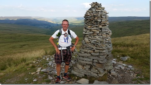
 Manned Clip at Great Shunner Fell Summit
Posing on the way down Great Shunner Fell:
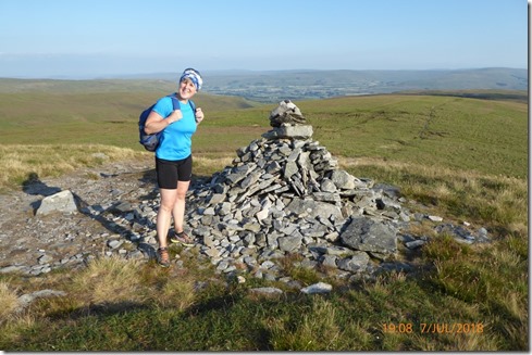
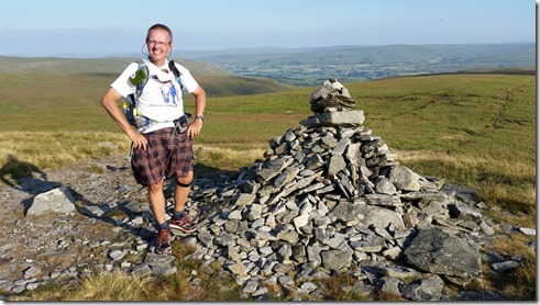
Continuing on our way to CP4 at Hardraw, I turned to see….

…Eileen and her floral dress marching up behind us
The descent to Hardraw seemed to take forever. The track was well defined and easy to follow, but it was very stony – and so hard on the feet, especially after over 25 miles in such hot conditions.

A virtually dry tarn, testament to the lack of recent rainfall
We were following a section of Pennine Way all the way down to CP4 at a bunkhouse in Hardraw. I was delighted to see that Jean Bobker, cheery as ever, was amongst those running the check. We were offered (and scoffed, in very short order) beans on toast and tea. It was a veritable feast!
Izabela’s feet were playing merry hell – she’d developed some large, painful blisters and she was in a fair amount of discomfort. She cleaned her feet up and I covered the tender bits with a double layer of K-Soft K4 bandage. This seemed to the trick and she was able to continue, relatively pain-free….as least that’s what she told me.
CP4 was at 29 miles, I didn’t clock the time but I was happy that we’d managed to maintain a fairly respectable average speed. We spent a fair amnount of time at the checkpoint: I managed an almost complete top-to-toe wash down which shifted most of the salt that was caked all over my body. I left the checkpoint, feeling almost clean, with Eileen the Floral Dress and Izabela. We marched off down the road in a most confident manner. The music session at the Green Dragon in Hardraw was bouncing….I’ve not played in that pub for nearly 40 years, I must do something about that. Soon.
Anyroadup, off we jolly-well confidently continued….it was almost as if we knew where we were going.
But we didn’t. Over-confidence can be a killer. As can yakking too much. We were guilty of both.
We SHOULD have left the CP and picked up a footpath to take us to SC#4 at Sedbusk. What we actually did was to walk down the road for rather too long. This wasn’t the end of the world though, a couple of footpaths marked on the map helped us back on route.
We self-clipped and carried on eastwards.
The light was starting to fade although it was still very warm.

Our route description directed us on to a disused railway line which made for fairly fast progress for the next couple of miles. It was now properly dark – although the horizon was to remain light all night.

Sunset viewed from near Bainbridge at 11pm
The leg to Bainbridge passed in a bit of a blur. I was a bit tired, didn’t take much notice of where we were going (thanks to Eileen the Floral Dress for taking over night nav duties – what a star!) and didn’t take any photographs….apart from this one:

For AlanR
Whatever. CP5 at Bainbridge (33.5 miles) was a tent and it offered all that a chap (or gal) could possibly need: food, drink, loos, entertaining (and sympathetic) helpers…and something to sit on. It was good.
I reckon our average speed (including stops) had reduced to around 2.2mph – although our average MOVING speed was much higher.
The next section was a bit of a struggle, it was dark and the route was difficult to navigate – even with the help of a GPS.
I kept tripping over tree roots, so easy to miss, even with a head-torch. I didn’t ever hit the deck though.
The Red Planet shone brightly throughout the hours of darkness, it was a handy night nav aid.
This seemed to be a good time to sing a few songs (something I often do, especially when walking), and so I did. After a couple of stirring sea-shanties (great for marching along to) I discovered that I was walking alone.
I can’t think why…
Anyway, I shut up and my fellow walkers re-appeared, as if by magic. A blessed miracle.
Thornton Rust came and went and we aimed for the next checkpoint at Thoralby (CP6).
A flashing light in the far distance was an invaluable navigational aid, even so we went wrong a few times. The route description mentioned a hidden step stile. It may have just been hidden in the daylight, in the dark it was all but invisible!

A red crescent moon rose in the east…quite beautiful
Izabela was noticeably less chatty – she was tired. This was hours after her normal bedtime and her body clock was trying to force her into sleep-mode.
I knew how she felt!
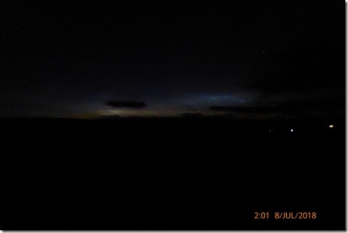
The horizon didn’t go fully dark all night
Arriving at CP6 at Thoralby Village Hall (39 miles) she lay down on the floor and had a 15-20 minute power nap. That seemed to do the trick. She drank tea, nibbled a few nibbles and she was once again firing on all four….still not talking much though!
Michael also had a quick kip, it worked for him too.
I should point out that CP6 was stocked with a huge lump of Wensleydale cheese…it wasn’t very huge by the time we’d left, although I wasn’t able to eat too much of the lovely stuff.
My digestive system was up the wall. I knew I needed food and drink but I was struggling to get much down me. I wasn’t alone suffering that problem.
Christine U. arrived (around 3am?) looking decidedly knackered – she decided to retire at that point. I hope I can move as well as Christine when I’m her age – I somehow doubt I’ll be able to, but what an inspiration she is!
Those manning the checkpoint were shiny stars – not only did they really look after us, but they were good fun too. We left the checkpoint smiling.

It was still dark when we left CP6 but the horizon was slowly getting brighter. We were now aiming for CP7 at Gallops, 5.9 miles away.
West Burton, with it’s happy memories, came and went.


The sun appeared over the horizon at about 4.45am, my selfies weren’t very successful. My hairstyling even less-so.
The Gallops checkpoint was a tent pitched at SE078874, to the west of Middleham. We arrived in full daylight and received the high level of hospitality that we’d come to expect from The Irregulars – sympathy, encouragement, food, drink, a good laugh…and something to sit on. Not much not to like really.
The next and final section of thje walk was a bit of a bugger. The first bit along tarmac was fine. The next bit, over Middleham Low Moor was damned hard work. We were walking on soft, deep grass, all nice and cushioned, but it was so soft that it was almost like ploughing through sand. I was glad once we were over it and we could walk through the village of Middleham.

Middleham bicycles
Just one more self-clip remained, SC#5, about 1km NW of Middleham. I can only imagine that this section of route was there to avoid a short road section. It was a section we could have done without, especially considering that we were just avoiding very quiet lanes – even the fastest entrants wouldn’t have encountered much, if any, traffic.
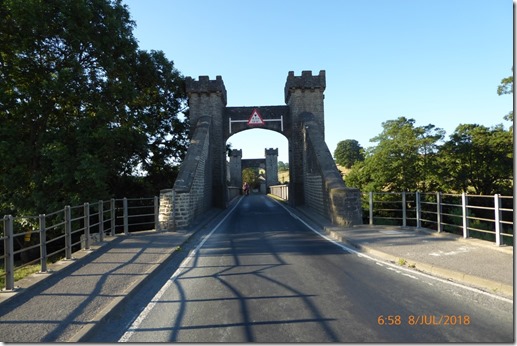
Middleham Bridge over the River Ure
The final stretch of any walk is always the longest and hardest. My legs, which had felt absolutely fine up until now, felt like lead. I was weary….Izabela and Eileen the Floral Dress were bouncing along!
Hrumph.
We arrived back at Harmby Village Hall at 7.25am to unexpected applause – what a lovely welcome!
We were offereed a lovely meal of delicious local sausages, baked beans and Yorkshire pudding. It was seriously yummy – unfortunately my stomach wasn’t able to cope with too much. Ho hum.
So that was it. We’d covered 50 miles in less than 23hrs = average speed of 2.17mph, including stops.
My Etrex20 GPS measured the route at 51.92 miles and told me that our average MOVING speed was 3mph and overall average speed was 2.2mph.
Thanks to The Irregulars for re-introducing the walk, it was great fun, you were all brilliant and I hope to be back next year. I enjoyed myself so much that I’ve just applied to join The Irregulars.
Thanks to my fellow walkers – we made a great team and we supported one another superbly…..sorry about my singing!
Full photo album here.
Event details are here.
Where we went:

51.92 miles with around 5,500ft of ascent
Nav Notes:
I downloaded the GPX onto both my SatMap10 and my Garmin Etrex20. After waiting 20 minutes for the SatMap to acquire satellites I just dumped it in the boot of my car and used the Garmin. The Etrex20 may not have the best display in the world, nor does it have 1:25K mapping, but it WORKS. The battery life was good, a pair of AA alkaline batteries lasted the full walk with ease.
That definitely wouldn’t have been the case with the SatMap…even if it had worked.

