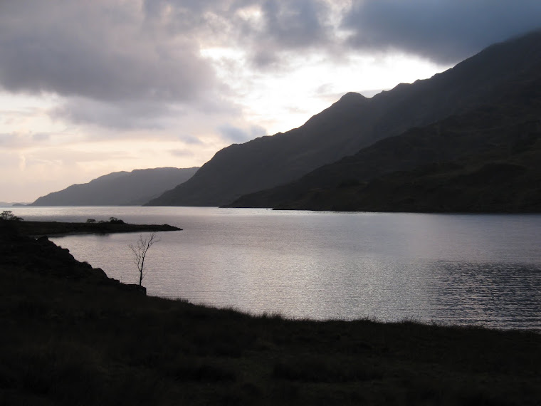
View from Oban Bothy

View from Oban Bothy
Showing posts with label LDWA. Show all posts

Saturday 28 March 2015

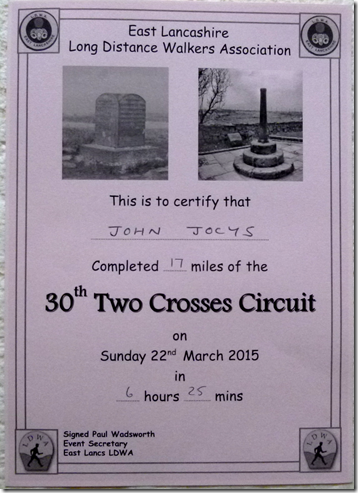
22nd March 2015, The 30th Two Crosses Circuit

Challenge walking the lightweight way

image

This is the East Lancashire LDWA’s annual challenge walk, from Tottington, near Bury, to Tottington, near Bury. That makes it a circular(ish) route. There’s a choice of 17 mile or 25 mile routes so there’s something for everyone.

The group is having a busier than usual year this year, not only do they have a very full calendar of walks throughout the year, this year they’re also hosting the LDWA’s biggy, The 100 – aka: The Red Rose 100.

Anyway, whoops, I meant Anyway…anyway, at 8am Judith and I shot off from the start – having listened to Norman, set on his soapbox, garbling some vital information about the walk. Probably not that important, we couldn’t understand a word he said.

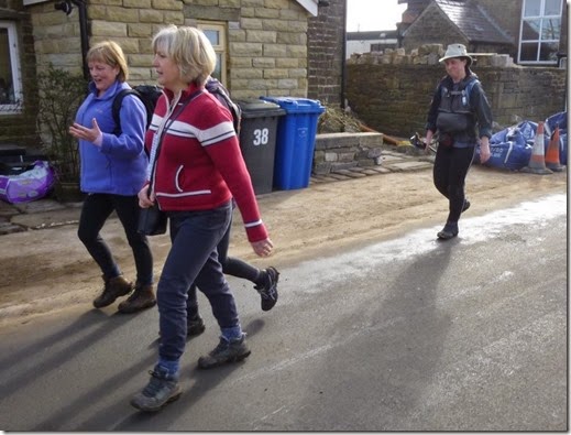
200+ walkers and runners took part in the event, always a good do. The atmosphere is cheery and friendly – you’ll rarely see a long face on events like these.

The weather was glorious: cool at first, but then warming up to just the right temperature for walking. There hadn’t been much rain in the couple of weeks leading up to the walk so the ground was a little less boggy than usual.

P1040124

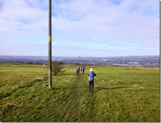
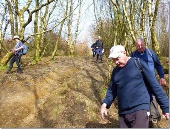
Early in the route: everyone’s still mud-free 

A printed route description is available and of course a map & compass should be carried – conditions can turn very quickly around these parts. Even if you find yourself alone, it’s a fairly busy course so there’s almost always someone close-by doing the route.

P1040126

P1040130

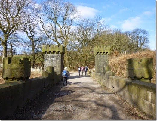
Crossing the railway line close by Turton Tower 

P1040131

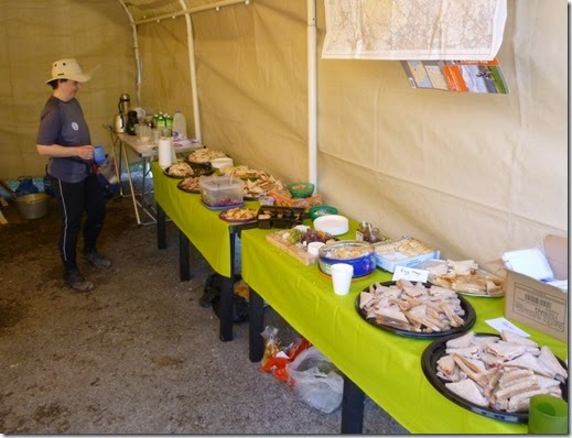
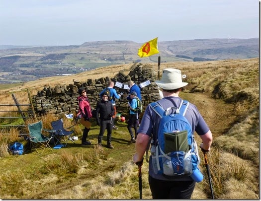
My navigator at Highlight No1: the food stop

P1040134Judith reckons this car was there from last year. I can’t remember, but I’m very old. 

P1040135

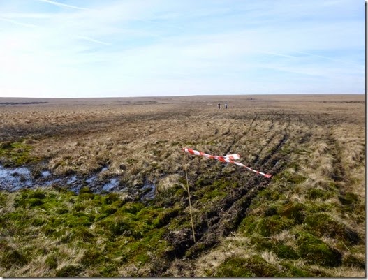
The appropriately named Wet Moss 

P1040138

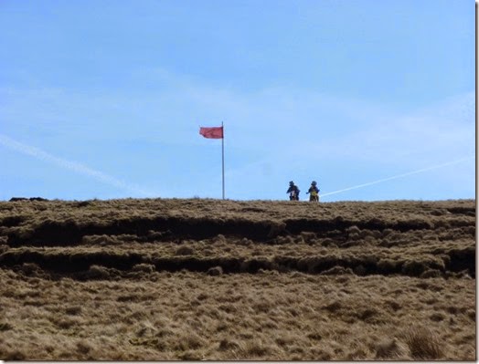
Warning flags on the Holcombe Moor firing range

P1040140

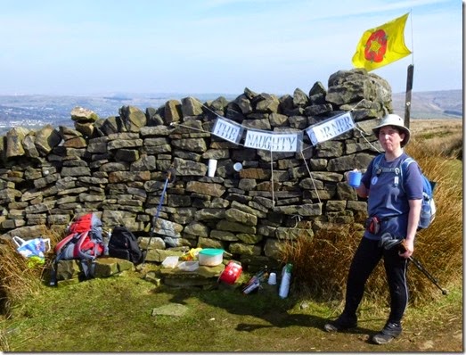
Approaching Highlight No2, The Naughty Corner and it’s bar staff 

P1040142

Partaking of certain beverages at The Naughty Corner 
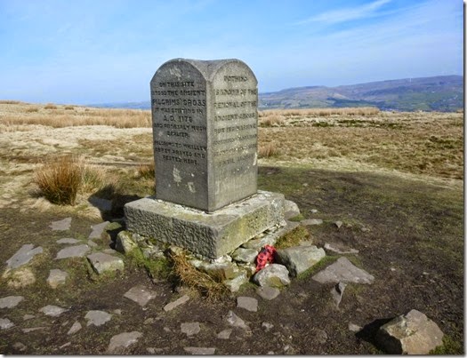
P1040145After The Naughty Corner checkpoint the route follows paths up to and across the length of Holcombe Moor, passing the Pilgrims Cross

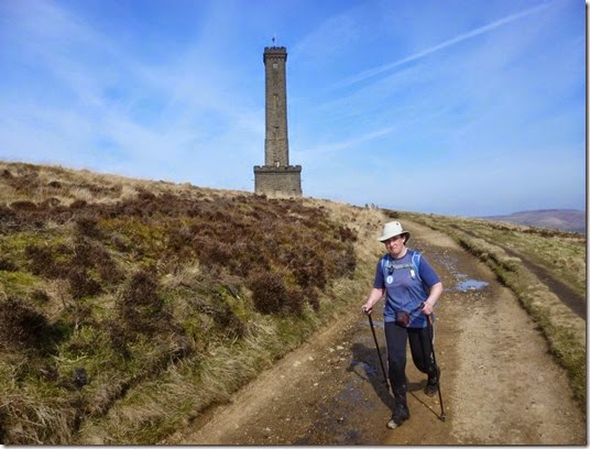
P1040146 Next is Peel Tower…

P1040148

…followed by the normally ghastly descent through Reddisher Woods. The weather had been good, which was good. In less than good weather this descent can be simply awful: steep, muddy and slippy etc

P1040152

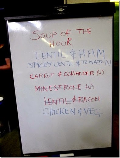
The menu at the finish

We arrived at the finish, which is also the start, around six and a half hours after setting off on this mad expedition. Rather than do the 25 mile route that we did last year, this time we did the shorter 17 mile route. We didn’t push it, speed-wise.

East Lancs LDWA are justifiably known for the excellent food they provide at the checkpoints. This year’s Two Crosses didn’t disappoint, the food was just too good to miss out on….I didn’t need my tea that night!

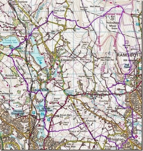
The short route (clockwise):

Two Crosses 17 miles

17 miles with approx 1400’ ascent

Thanks to Paul and all the East Lancs LDWA team who worked so hard in putting this event together, oh – and for feeding us all so well!

These challenge walks are great fun, and they’re a cheap day out. The entry fee for this event was £7, which includes two really good food meals – one at a checkpoint, the other at the end. You should enter one!
image

More photos here.

Monday 16 March 2015

Sunday 15th March, Fairy Trails


This little walk was an East Lancashire LDWA event and was aimed at attracting new members to the club. At 14 miles, the distance wasn’t scary for potential new members, nor was the pace which was reasonably brisk without being fast.

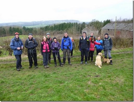
So at 9am the group of 14 walkers plus 2 doggies (who were also walkers) set off from the rendezvous, a layby on the B5209, just to the east of Parbold, to enter Fairy Glen.

P1040030

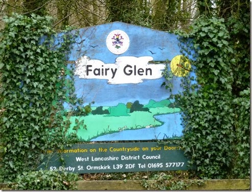
West Lancashire District Council describe Fairy Glen as being ‘designated as a Biological Heritage Site for its ancient woodland of oak, birch, ash and alder, the woodland floor may be covered with bluebells, wild garlic, ferns, and red campion.
The waters of Sprodley Brook have, over time, cut down through the underlying sandstone to create the steep Fairy Glen valley, which has spectacular waterfalls and cliff faces.’

The route took us south from the B5209, through the wooded (and only a bit muddy) Fairy Glen to Appley Bridge and then onto the Leeds Liverpool Canal towpath.

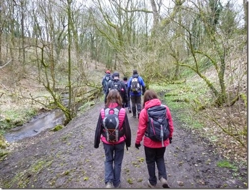
P1040005Walking through Fairy Glen

P1040006Happiness….well, it wasn’t raining 

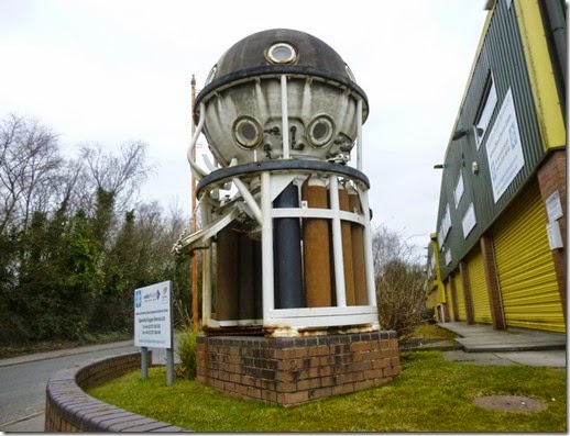
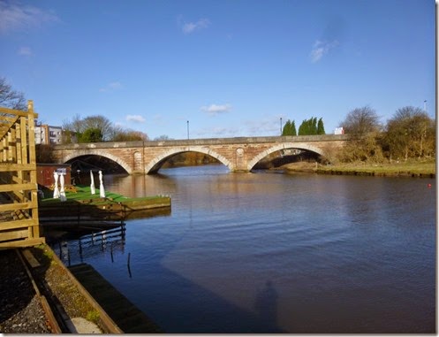
P1040008 Appley Bridge, and what fine a place to park your diving bell

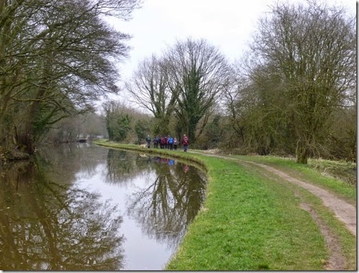
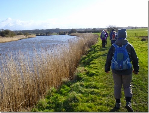
P1040010 The Leeds Liverpool Canal

From the canal we followed tracks and footpaths, enduring various degrees of muddiness and not-so muddiness until we gained the giddy heights of Ashurst’s Beacon.

P1040015

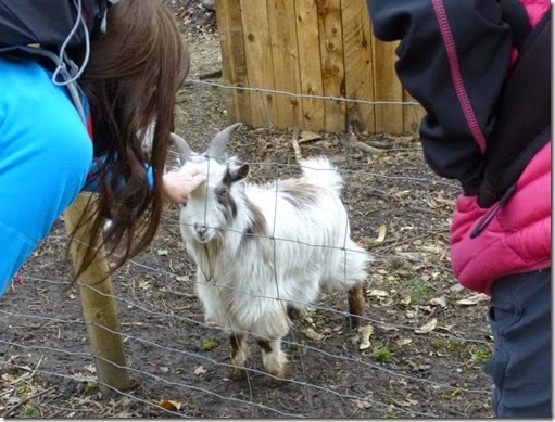
P1040016 Jeanette and Angela playing the (baby) goat

P1040019 One for Alan

P1040021 Ashurst’s Beacon and another photo shoot.

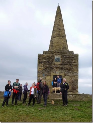
Ashurst’s Beacon was once part of a series of beacons that ran from Liverpool to Lancaster and dates back to the Anglo-Spanish war of 1585. According to Wiki! It’s also very popular amongst the radio amateur fraternity being as wot it’s 170m ASL and so gives a great take-off for playing radio.
P1040024Lunch No2  (I’m not sure where Lunch No1 was)

P1040027

After Ashurst’s Beacon our Glorious Leaders led us back down to the Leeds Liverpool Canal and then through Parbold. Mud, a former windmill and then even more mud followed. A few hundred yards from the end of the walk we came across a very conveniently located stream – everyone managed to clean most of the clag from their boots before getting back to the cars at 2.45pm.

P1040029

On final approach

It was good to meet up with friends I’d not walked with for a good while, over a year in some cases. Thanks go to David & Alma who led the walk, and to everyone else who turned up and helped make it an enjoyable day out.

Leading a walk like that isn’t just a matter of plotting a route. Dave and Alma researched the area and carried out a thorough recce and so didn’t get us lost….well, not much ;-)

Very importantly, they led the walk at a sensible pace and ALWAYS made sure that nobody was ever left behind.

Where we went (clockwise):

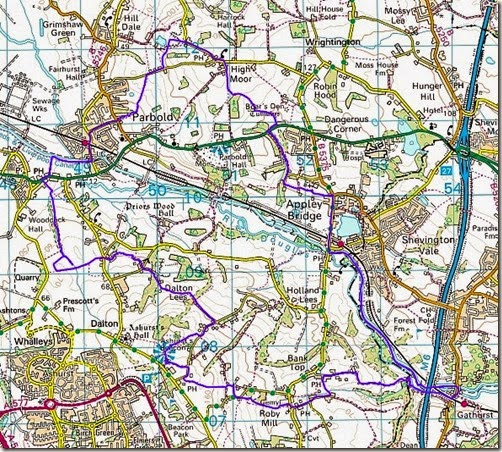
Fairy Glen Route 

13.7 miles with 1200’ ascent

More photos here.

Wednesday 11 March 2015

1st & 2nd March 2015, Frodsham Frolics

A(nother) John Bullen Production

John doesn’t do a great deal with the LDWA these days, although he’s certainly paid his dues by the selfless service he’s given to the East Lancashire group in his time as Walks Secretary. In recent years he’s organised hugely successful walking weekends based at Forest Hills, just above Frodsham. This year’s trip to Frodsham was on a much smaller scale but it was to prove just as successful as previous trips.

Sunday 1st March

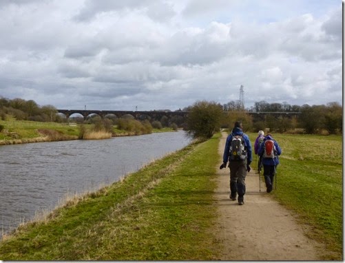
P1030831 Weaver Navigation at Frodsham 

John likes a coffee before a walk, so he’d arranged to meet his loyal followers at a sort of roadside outdoorsy cafe kind of thing. At 9.30, his thirst for caffeine sated, John led us down to the banks of the River Weaver and the start of the day’s walk.

P1030832 Eastwards(ish) on the banks of the Weaver

Half the party were LDWA members, the other half were John’s friends and neighbours, it was a cheerful and rather noisy party that disturbed the peace and quiet of this Sunday morning. Judith, suitably recovered from her recent Curry Walk, joined the party for the day. As a member of the LDWA and a TGO Challenger she certainly had the right credentials for the walk.

P1030834Our glorious leader….and Jan

   P1030835The LDWA part of the group leading the way

 P1030837

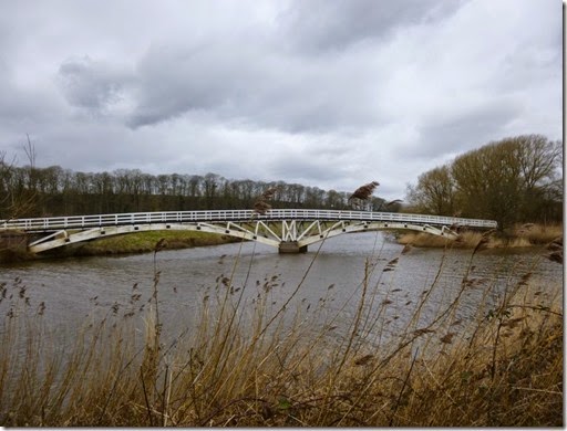
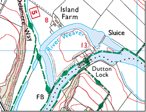
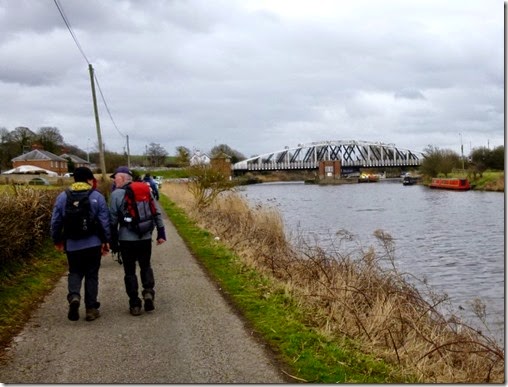
Bridge on the Weaver’s north bank linking the island to the ‘mainland’ by Dutton Locks

P1030838

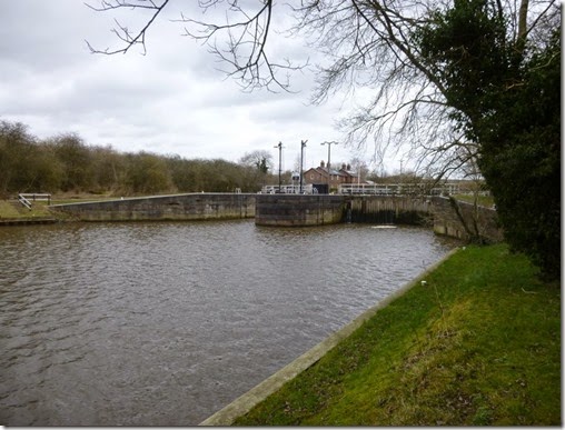
Dutton Locks – and our lunch stop

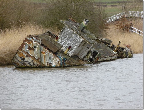
image Waiting for the AA?

Although I’ve walked and run in this area before I was really surprised to find that Dutton Locks bridges the Weaver to an island in the river. I’m guessing that the rather acute bend in the river needed to be straightened out when the waterway was made navigable. The sluice to the eastern side of the island provides more evidence that this may well have been the case.

image  The island in the Weaver, by Dutton Locks

P1030845

Acton Bridge

We left the Weaver Navigation at Acton Bridge to continue the flatness on the towpath of the Trent and Mersey Canal and the return leg of the walk. This part of the canal coincides with the Cheshire Ring Canal Walk route, a 98 mile canal towpath walk. That’s a rounte that still on my ‘to do’ list, although I intend bikepacking it at leisure with my mate Jon….although I don’t think I may have told him about his plans yet….

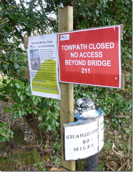
Back to the walk: at one point The Plan didn’t look to be going as planned…

image …but we didn’t let a little detail like that stop us.

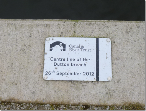
As it happened, the Towpath Closed sign was a bit out of date and we were able to continue unhindered. The sign probably dated back to the repairs carried out after the canal burst it’s banks in 2012 causing mega problems to boat owners who had their boats on the wrong side of the breach…..like my mate John who had bought a boat the week before the breach. The boat, of course, was on the ‘wrong’ side of the breach.

image

The brilliantly blue sky of the morning had now vanished and had been replaced by low, grey cloud. Leaving the muddy towpath just beyond where the breach had occurred, we were back on tarmac for a short while. By now the rain was raining and shelter was needed for Lunch No2. The church porch at Aston served nicely:

P1030853

Next up we were back on the banks of the Weaver Navigation and before we knew it had arrived back at the cars. Judith legged it back home whilst the rest of the team headed up to Forest Hills for some R&R and a lovely meal.

Where we went (widdershins):

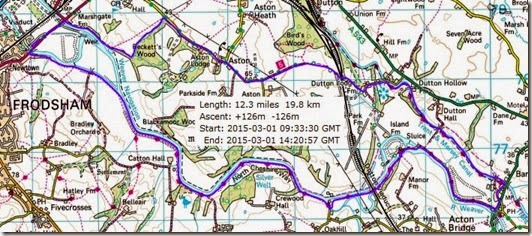
Route Day1

12.3 miles (19.8km) and fairly flat


Monday 2nd March

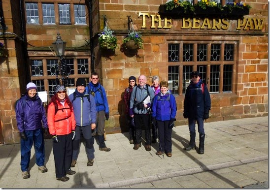
After a ginormous breakfast we were all on parade at 9.30am. Rick arrived in good time to join us for the day’s adventures. The paparazzi were called in before kick-off:

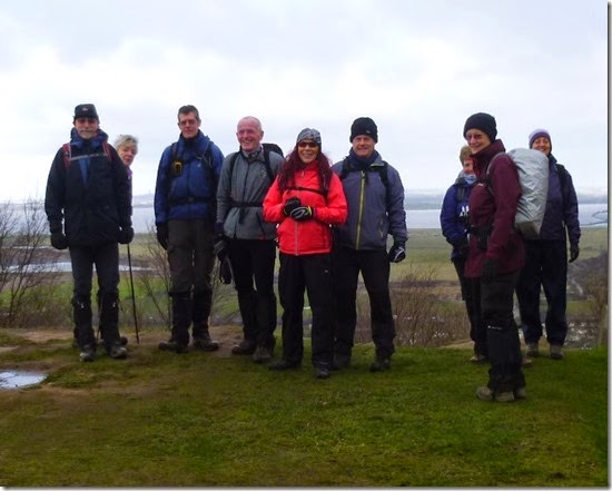
P1030859 Posing by the war memorial, the Mersey estuary and Liverpool in the background

P1030862 Worrabunch of posers, this time at the start / finish of The Sandstone Trail, which we didn’t follow, well not yet.

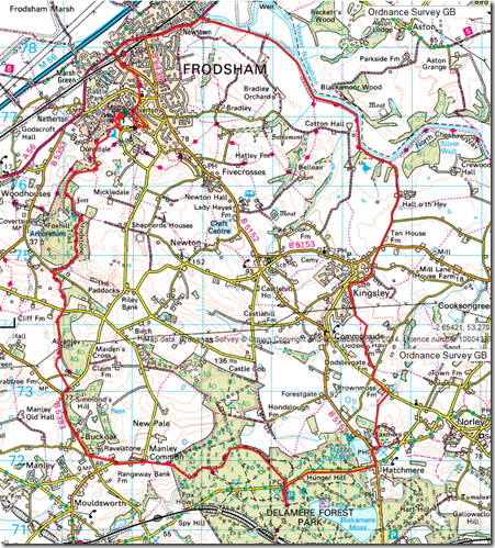
After a not very quick food-shop in Frodsham, we set off along the banks of the Weaver Navigation, re-tracing the previous day’s route – for the first couple of miles anyway. Leaving the waterside path, we followed tracks and tarmac into Kingsley. 


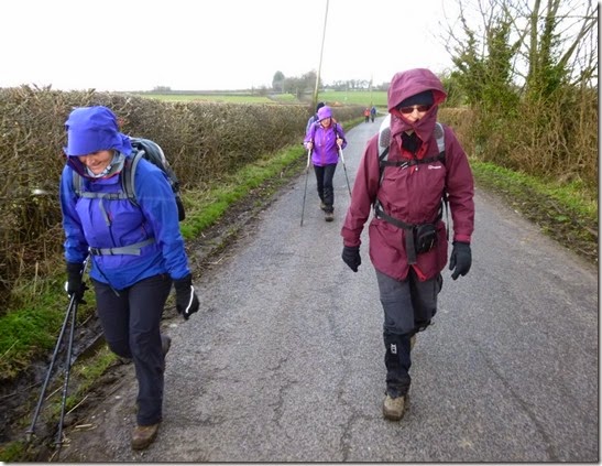
P1030865The day was good but it was cool and breezy first thing 

image

P1030870Jan, in subdued mode

P1030871 John B, the man with the map, with Diane & Jan

Somewhere along the way the route was shortened by a couple of miles from around 14 miles to around 15 miles. Don’t ask me, I didn’t plan the walk.

image

The tracks through Delamere Forest are dead easy to follow. At weekends they’re heaving – but today there were very few out and about. The first, or maybe it was the second, lunch of the day was taken in the forest. After the large breakfast I didn’t need much at all.

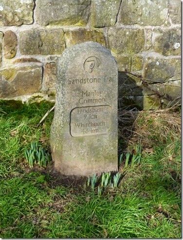
We were now walking on the very well way-marked Sandstone Trail:

P1030874 John B, a man full of surprises, had arranged for a tea (& scone) stop somewhere out of the forest. it may have been near Alvanley Cliff but I can’t be sure.

P1030879

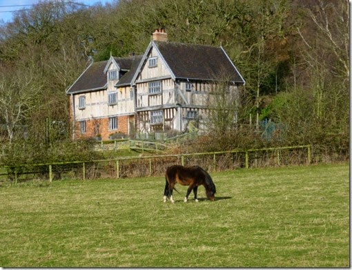
The 15th Century Austerson Old Hall. And a horse.

In the 12 years from 1974 to 1986 this building was dismantled and re-located from Coole Pilate near Nantwich, 27 miles away.

On the final approach to Forest Hills we had wonderful views over the Mersey Estuary from the sandstone edges – but I didn’t have the presence of mind to get the camera out. Silly bugger.

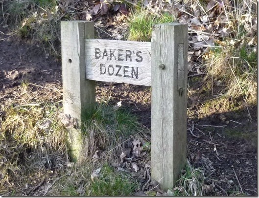
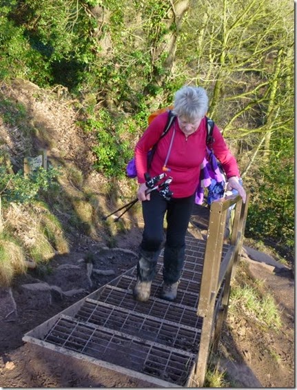
The gentle route had a real sting in the tail: the Bakers Dozen steps – it’s only 13 steps, but they’re quite steep - you really don’t need that at the end of the day:

P1030881

P1030882 Scary Mary Aunty Mary Mary climbing the Bakers Dozen steps


Where we went (clockwise):

image

Around 15 miles with some up and down, but not much.

Rick and I headed off home after the walk, the rest of the group stayed behind to enjoy another night at Forest Hills. As we live less than half-an-hour away it seemed a bit daft to stop the night – although I’m sure it was a fun evening.

Thanks to John for putting the trip together, and to the whole group for making it so enjoyable.

Tally-Ho! Whitworth Wander / Turkey Trot 2023

  Whitworth Wander – Turkey Trot, 27 th of a very wet December 2023 In memory of the late Brian Whitworth, a fine man, my friend, and a for...