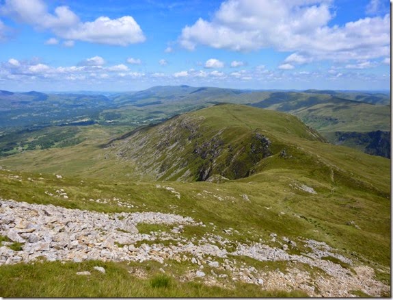
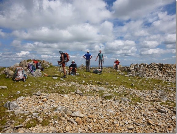
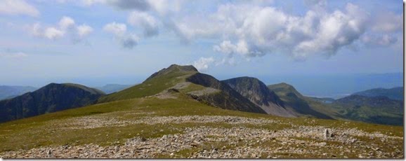
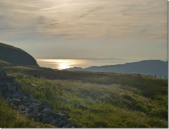
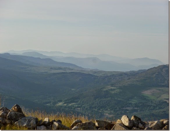
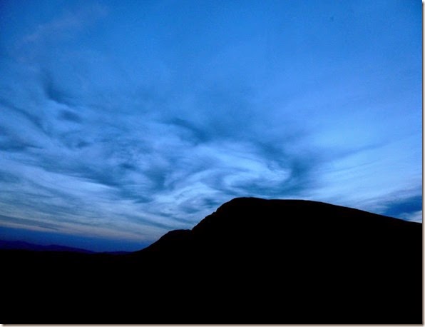
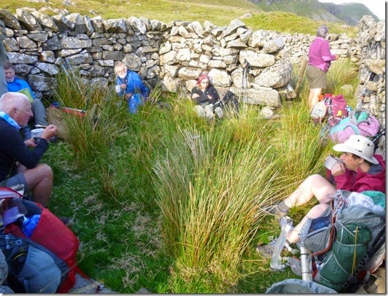
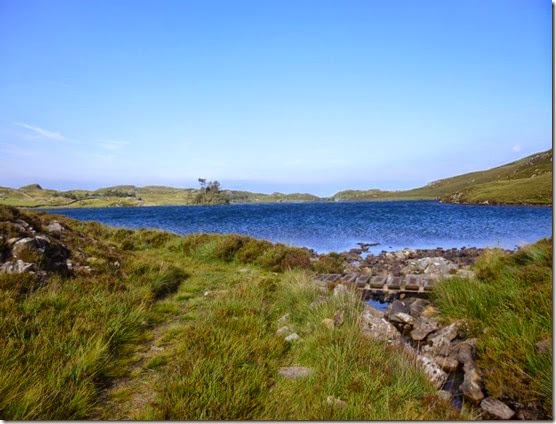
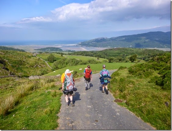
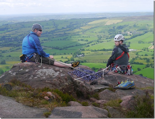
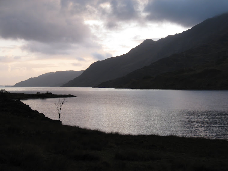
View from Oban Bothy

View from Oban Bothy
Showing posts with label A bit out of order. Show all posts

Friday 22 August 2014

Carpet Baggers 50

Another in the series ‘A bit out of order’, the Carpet Baggers 50 is an Anytime Challenge Walk….that means it’s a challenge walk that can be done at anytime. And it’s 50 miles. Obvious really, innit?

The Plan was to complete the route in 16 – 17 hours, with a 6am start there was half a chance of grabbing a pint at the end of the walk. It’s good to have an incentive.

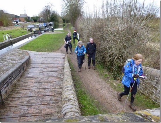
At almost 6am precisely the party, led by Aaron, left Birchen Coppice and headed to Bewdley and the western bank of the River Severn. It was a bit muddy.
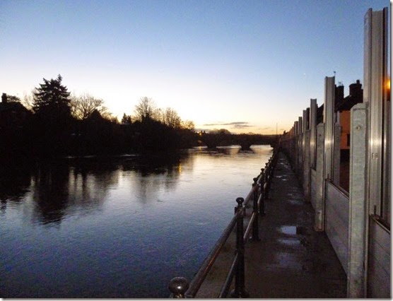
P1000859River Severn at Bewdley @ Stupid O’clock  

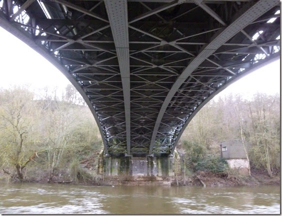
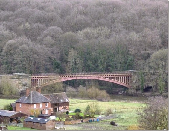
The River Severn is spanned by some beautiful ironwork, real engineering:

P1000864P1000865

After a muddy 5 miles of Worcestershire Way, the route briefly left the banks of the Severn and went through Seckley Wood. It was in this wood that I thought it prudent to examine the path very closely indeed. It was a sudden decision, very sudden. Only another 45 miles to go. With muddy knees. Oh well.

The paths through Seckley Wood weren’t as clear as the map suggested. Having only recently acquired the SatMap Active 10 GPS I was keen to try it out in anger. The SatMap wasn’t any help –it took 25 minutes to compute my location, by which time we’d succeeded in navigating out of the wood using map and compass.

A more detailed report on the poor performance of the SatMap can be found here.
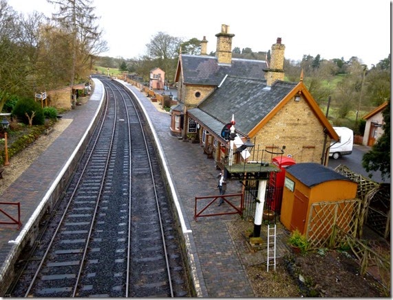
 

P1000866 Crossing the Severn Valley Railway, just after Seckley Wood

5 more miles of riverbank to cross the river at Highley and a stretch of very welcome dry tarmac.

P1000869

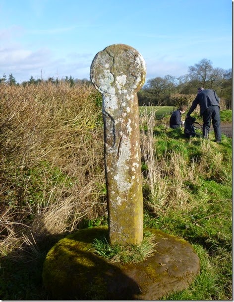
The first breakfast / lunch stop was at an ancient stone near Alveley, the ‘Butter Cross’. It’s a stone cross that dates back to the Black Death, it was where food was left when the village was quarantined.

P1000870The Butter Cross 

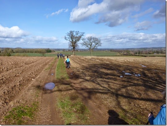
Miles and bloody miles (about another seven actually) of reasonably dry fieldery and roadery took us to our next breakfast / lunch stop at Claverley.

P1000873 Over the fields to Claverley

The plan was to grab some grub in the pub – perhaps a bag of chips and a pint of tea. Unfortunately the long waiting time for food meant we just grabbed a cuppa.

P1000874

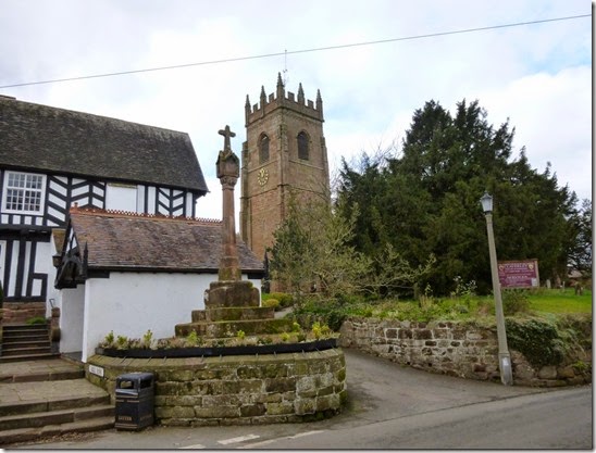
Tower of All Saints Church, Claverley, and the churchyard cross. And a litter bin.

P1000875

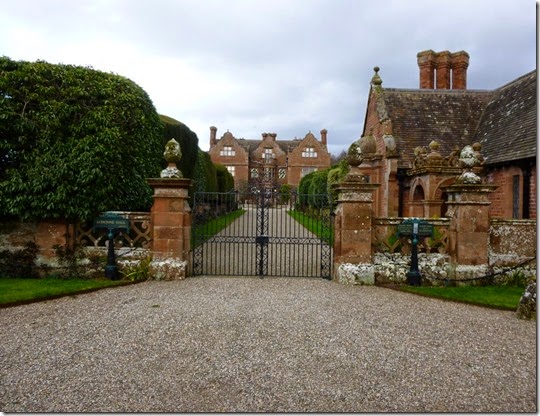
Ludstone Hall, a couple of miles north of Claverley

Signs of the area’s industrial past became evident as we approached the outskirts of Wolverhampton:

P1000878

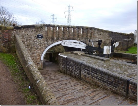
Awbridge Bridge on the Staffordshire and Worcestershire Canal

P1000879Judi leading the way 

P1000881

P1000884

Annabel leading from the rear

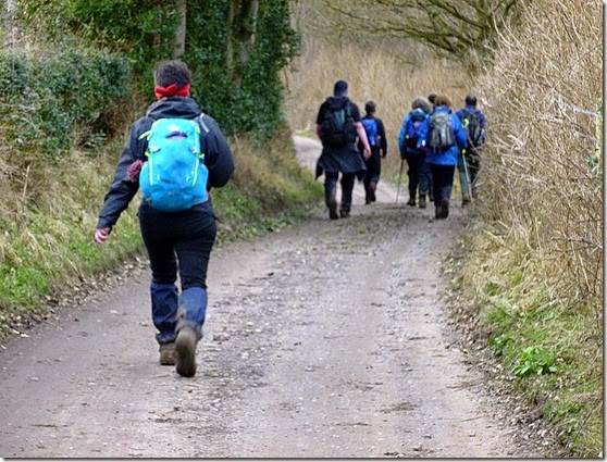
Aaron continued to drag us along way. Some of it was incredibly muddy whilst other bits were just muddy. Some bits (not many) weren’t muddy at all, these were generally the tarmac bits.

High Energy Flapjacks

Another lunch stop, I can’t remember exactly where, but it was memorable in that we were treated to some High Energy Flapjacks. Annabel had been busy baking. These flapjacks were wonderful. I’ll publish the recipe, probably after this posting. They’re not just delicious, they’re a serious source of high octane energy.

Minds were concentrated as the light faded. It pays to watch where you put your feet – when you’re getting tired AND it’s dark it’s very easy to slip, trip, fall into a man-eating fetid swamp or whatever.

I really wanted to see the red sandstone Kinver Edge in the light, but it wasn’t to be. Kinver Edge is the site of an ancient hill fort. Not so ancient are the Holy Austin Rock Houses, which were inhabited until the 1950s. These rock houses are actually built into the side of the Edge. Night navigation onto the Edge wasn’t easy, unkempt woodland concealed the footpaths and it took ages to find our way onto the Edge.

It was around this point that the SatMap actually started to perform. Admittedly it had been switched on for ages and so had already computed our position. The woodlands paths over Kinver Edge and Arley Wood were very muddy indeed and trying to navigate in the dark whilst attempting to stay upright was proving difficult. With the aid of the SatMap we managed to stay on track through the woods. So y’see, the SatMAp Active 10 CAN perform, it just doesn’t do it consistently.

Entering Shatterford I’d twigged that Judi had been quiet. Not that she’s a chatterbox or anything, she was just very quiet. I put it down to tiredness. I was wrong…..I’m a man thing, it’s what we do. All the time. This fact is constantly pointed out to me, so it MUST be right. Mustn’t it?

Judi was feeling quite unwell and really needed to bale out. At around the 41 mile mark we managed to order a taxi for Judi and she was whisked back to CarpetBaggers Control back in Kidderminster. This was exactly the right thing to do.

The last big woodland of the day, well it was around midnight by this time, was Eymore Wood. The route through the wood generally followed the signposted Worcestershire Way this really helped route-finding in the dark.

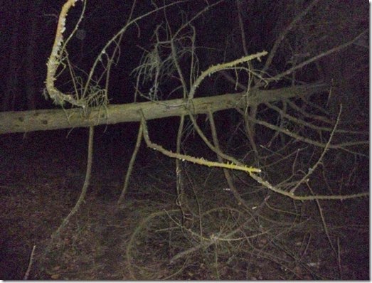
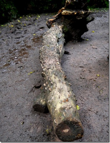
The poor weather had brought down some trees in the wood, there was no walking round these obstacles – the only options was to climb over…or scrat around and try to crawl under. Not easy when you’re knackered.

P1000890

One of Eymore Wood’s fallen trees. 

At around 1am a break was called in the wonderfully named village of Catchems End. Heaven only knows what the residents would have thought if they’d looked out of their bedroom windows to see a bunch over-tired, ragged bunch of walkers littering there garden walls at that time of night morning!

We were thankfully back on tarmac once again (I never thought I’d welcome the appearance of a road!) all the way to the eastern bank of the River Severn. A bit of Severn Way followed by some quiet country lanes took us back to our cars, parked just where we’d left them at Birchen Coppice, by the A451. Badges and certificates were dished out, there was much shaking of hands, hugs, patting of backs and so on – the sort of stuff that we stiff upper-lipped Brits do so well. Ahem.

It was now 2am and the pubs were shut. to be honest I was far too tired to go for a pint – or even eat properly. I managed a hot shower and forced some food down, and then promptly fell asleep.

Aaron had put on a good walk. Although it was a published route it can’t have been easy leading a group of unknowns over an unfamiliar route, especially considering that he’d had no opportunity for a pre-walk recce….so thanks Aaron! 
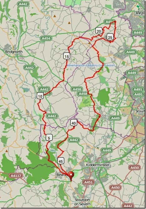
This is where we went:

Route 

50 miles with around 3300’ of ascent in 20 hours.

More photos here.

Wednesday 30 July 2014

16 – 19th July 2013, Barmouth Bimble with Pies

Day 1, Barmouth

Pie aficionados gathered either side of Afon Mawddach in glorious sunshine for a few days of eating beer, drinking pies, backpacking and luxuriating in good company. The Plan didn’t quite go to plan….but that’s the stuff of adventures….innit.
The first bit of not going to plan-ness was our tea at The Last Inn. The place was full so we had to search around the town and eventually, after passing LOADS of closed eateries, nosh was obtained in a local Chinese restaurant….actually a dining room tacked on to the side of a Chinese takeaway.
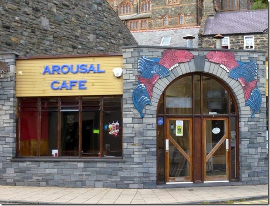
P1020274Barmouth’s Arousal Cafe. Closed.
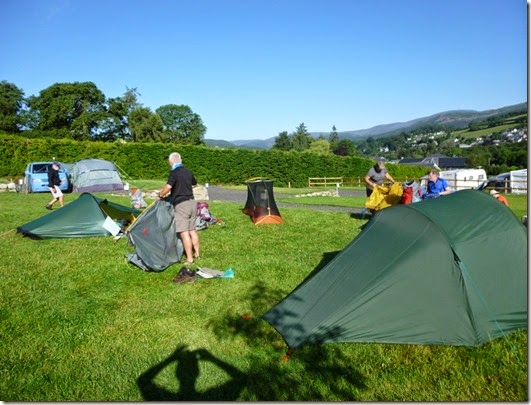
Back at the campsite we enjoyed a lovely sunset. And then we went to bed.
P1020273
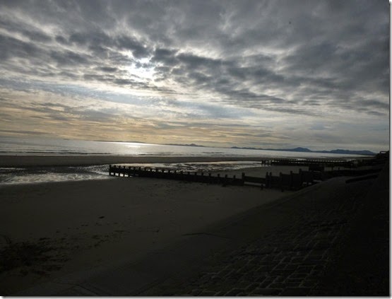
Sunset over Bae Bermo. That’s foreign for Barmouth Bay y’know.

Day 2, Barmouth to Dolgellau

The next morning Mike had arranged for us to meet up at Greasy Lizzie’s Rosie’s Diner in downtown Barmouth for an exercise in artery clogging. That’s not a dance by the way.
P1020275
I think his idea was to sabotage the health of the (incomplete) A Team so as to ensure a slow walking pace for the period of the expedition….and probably a lot longer than that. I couldn’t manage the Gut Buster, but Mike, who shall remain nameless in case his Fat Nurse finds out what he’s been up to, shifted his ginormous plateful of cardiac-arrest inducing comfort food with a minimum of effort. Dawn and I settled on the safer option, The Bloody Huge Breakfast.
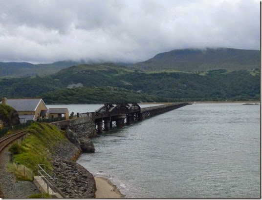
P1020277 Barmouth Bridge carrying the railway line and the footpath
The B Team were staking out the south end of the footbridge whilst we enjoyed our third mug of tea – essential for washing down the enormous amount of cholesterol we’d just consumed.
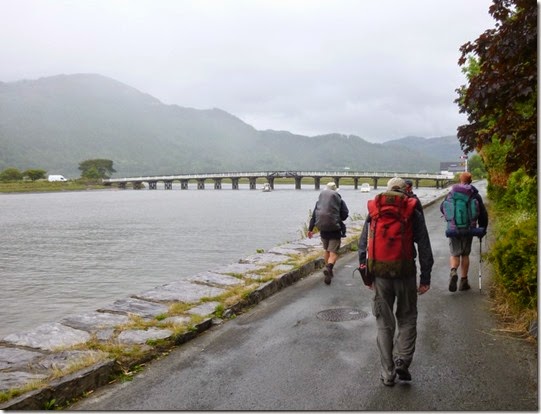
Eventually the A Team prepared for action, went to the toilet, and set off for the south side of the estuary. We walked slowly.
The weather wasn’t brilliant but it was fine for walking – it wasn’t to start raining for at least two hours. This was almost Scottish weather.
P1020282 On approach to the George III at Penmaenpool. In the rain.
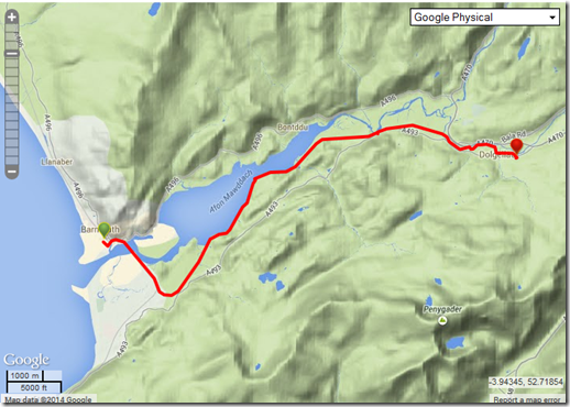
Our Plan was dead easy – walk along the Mawddach Trail until Dolgellau, put up the tents, and go to the pub. The Plan was executed with military precision…..apart from the bit when we stopped at the George III en-route to Dolgellau. This variation from The Plan was acceptable – members of both the A and B Teams are only too aware of the dangers of dehydration when on an expedition such as this.
The weather had improved considerably by the time we arrived in Dolgellau, we had warm sunshine and dryness. Better still there was a chippy and a pub serving decent ale.
The A Team came to up to full strength here, Judith and Laura, had joined us – we were now ready for anything. Our combined forces of Teams A & B was made up of Judith, Laura, Dawn, Mike and Alan and his two friends – Teg & Rich. Oh, and I was there too.
We had walked, ooh, around 10 miles.
image

Day 3, Dolgellau to Cadair Idris

Next morning dawned bright and clear – it was going to be a very hot day indeed.
P1020286We were on parade by around 9am and both teams set off with grit and determination. Fortunately we managed to get rid of both fairly quickly.
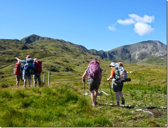
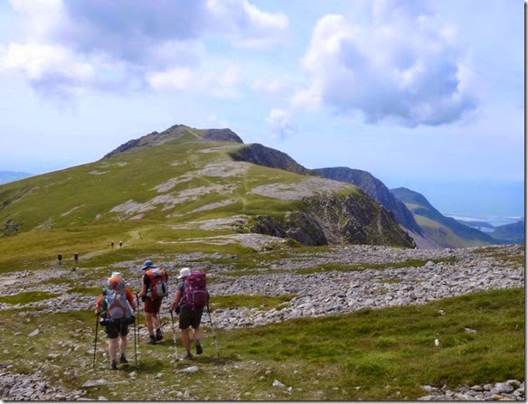
The route was up, up, up. It was only 7.5 miles but it was damned hard work. We were all carrying water which slowed us down considerably, without it we’d have really struggled. I carried nearly 2 litres and it was only just enough.
P1020289
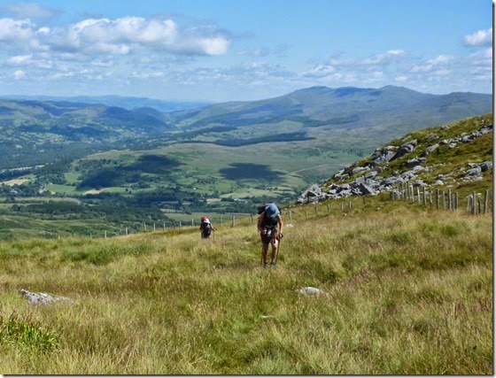
Upness towards Cadair Idris
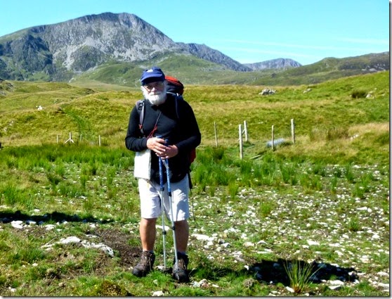
P1020290 The Pieman in posing mode, Cadair Idris in the background.
P1020294The Uphill Hotness
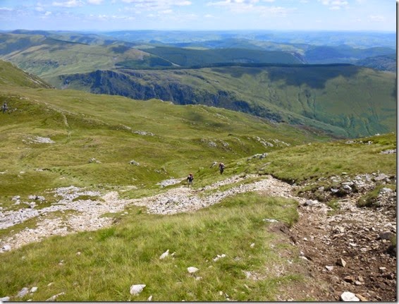
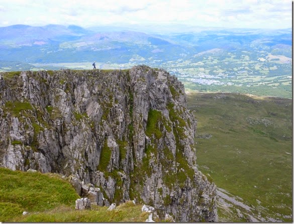
I’ve not walked around this area for around 20 years and I’ve forgotten how dramatic the scenery is. It’s definitely an area I’ll be going back to sooner rather than later.
P1020300
P1020301
This was intended to be a relaxed and laid-back trip but the extremely hot heat of the day meant we need to take more rest stops that normal. This was A Good Thing, I don’t do heat at the best of times and the stops were welcome.
P1020303
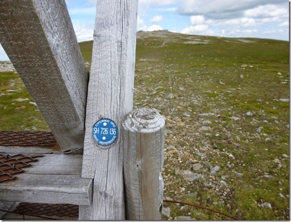
I was a bit surprised (pleasantly so) to find that many of the stiles in this area are identified with their map reference – very useful for navigation in poor visibility:
P1020307
P1020304
P1020306
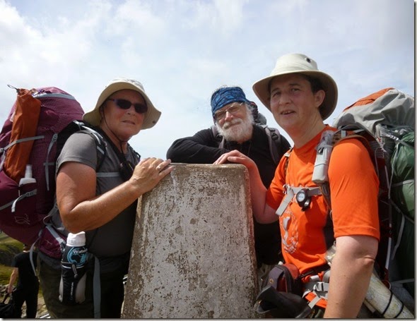
P1020315 Laura, Mike & Judith at the Cadair Idris trig point.
P1020309
We were all running low on water and we were keeping our eyes open for running water. It didn’t help that we were walking high on a ridge and any running water would likely be much lower down the hill side. A small bubbly spring was found – running with crystal clear water, it was wonderful! We drank our fill and then filled up our water carriers – our next quarry was a nice bit of flat ground for our overnight stop.
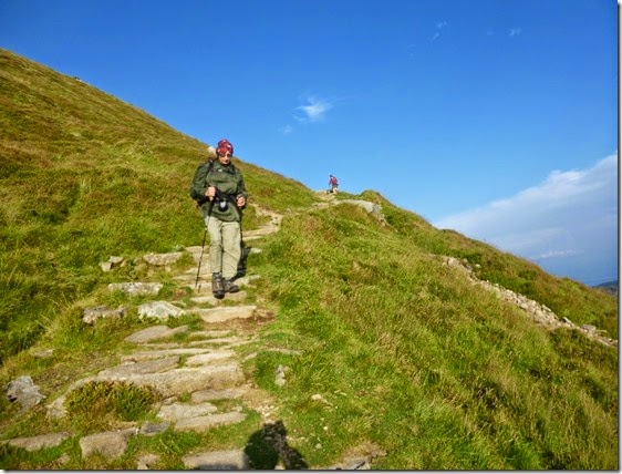
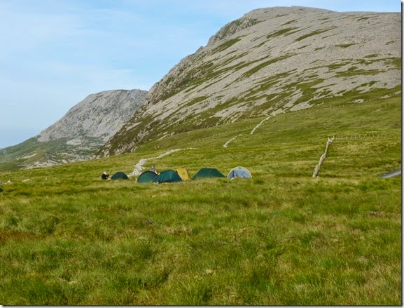
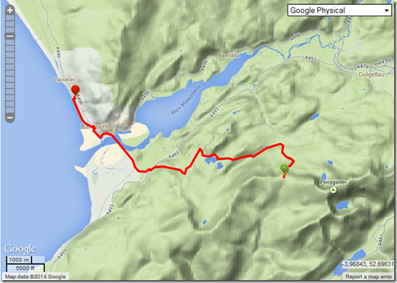
About 800m east of Carnedd Lwyd a suitable camping spot was found. It was a little breezy but absolutely fine. Within a few minutes the area had been transformed into a village of tents:
P1020328
The evening wasn’t without it’s moments: A naked man, surprisingly clean, was seen lurking around the tents, The Pieman attempted to burn his new Akto down, someone was seen licking clean the inside of her rucksack…..there was probably more. All very odd.
Anyway, back to the plot: We were still high up and so had the benefit of tremendous views over Barmouth Bay and much of Snowdonia:
P1020332
P1020337
Some of us stayed up late (9.50pm!) to watch the sunset:
P1020350
P1020351
P1020352The cloud formations were unusual, a bit swirly in places….I should have twigged that this was an omen.
By 10pm it was a bit breezierer (that’s Timperley dialect by the way), nothing to worry about – I was in my Akto anyway. I zipped up the tent and was zonked out within not a lot of time at all. I stayed that way until, er, around midnight. So I got at least 2 hours sleep.

Day 4, The Great Wind and and the walk back to Barmouth

I woke to a slap in the face – it was the tent inner flapping around in the wind. I later learned that Laura in the tent next door spent most of the night sitting up in her tent trying (successfully) to stop it from flying away.
All was okay with my tent but it was clear that the wind was strengthening – it didn’t help that we were pitched on an exposed ridge. At 2am I plotted an escape route off the ridge and packed as much of my stuff as possible into my rucksack. Then I tried to go to back to sleep. The BBC World Service helped by keeping much of the racket of the howling wind from my delicate ears.
At 4am I popped my head out of my tent to see a light on in Dawn’s tent, I didn’t know it at the time but she was struggling too – a tent peg or two had popped out and her shelter had lost some stability.
At 6am I heard voices outside my tent but the BBC meant that I couldn’t tell what they were saying. I made my breakfast, had a couple of mugs of coffee and then decided to have a look outside. It was a bit of a shock to see everyone’s tent being packed away. The buggers were going to leave me, I’m sure of it! 
Mike’s original Plan was to continue along the ridge but it was decided to escape the ridge as quickly and directly as possible.
Our party left the ridge at around 6.45am and headed down to a sheepfold where those who hadn’t eaten could have their breakfast – that was everyone apart from me!
P1020359 Dawn, with Judith behind
P1020362
Breakfast Stop No1
The lower we got, the less strong the wind became. It wasn’t long before our warm layers were packed away and we made our way to Breakfast Stop No2 at Llynnau Gregennen:
P1020366
Unfortunately we’d lost Mike by this time, he went off to bag a hilly, humpy thing. He got a bit lost too.
P1020370 Back towards Barmouth
P1020373
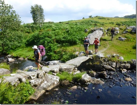
Crossing the slab bridge over the Afon Arthog close to Llys Bradwen
Then before we knew it we were back in Barmouth….and very welcome ice creams and cold drinks.
We’d had a good few days that didn’t go quite to plan, but what the hell – it was fun. I’ll probably go back follow the intended route at some time, hopefully it will be a bit cooler and nowhere near as windy.
image

More photos here

Monday 30 June 2014

Sunday 30th June 2013, Midlands Magic

Anyone who enjoys the great outdoors doesn’t need telling of it’s spirit-enhancing powers. Having had a particularly crappy couple of weeks I felt the need to ‘get out there’.
Ideas for a long trip are now being put together, but in the meantime a shorter, single day walk was needed as a matter of urgency.
Today’s little jaunt was c/o Outdoors Magic, a fine bunch of folks who inhabit t’interweb, hilly bits of countryside….and the odd pub. Or two.
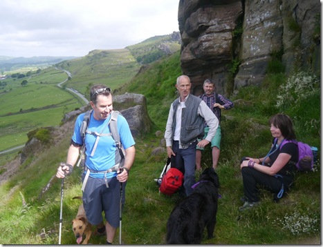
Simon was the main instigator, and being as wot he lives in Leek a wander around The Roaches was deemed appropriate. Since the idea was first mooted, the list of those wishing to attend just growed and growed. Eventually eleven bodies (well it was eleven if you include the three doggies) assembled in the car park of the Three Horseshoes pub at Blackshaw Moor. The sun was shining a bit and my choice of shorts had proved to be a good ‘un – although my white and pimply legs stood out against the muscly, tanned legs of the other OMers.
It was good to catch up with Skip, The Teesdale Viking, and Ella – her doggy. The rest of the group were strangers to me – but there did seem to be a lot of Mikes in attendance.
P1020494First up of the day
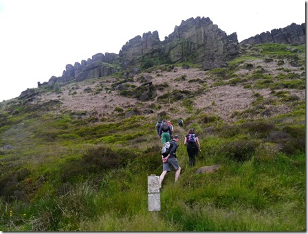
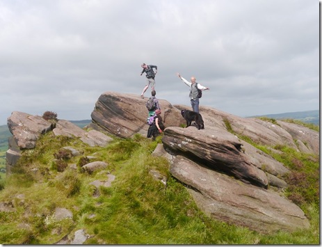
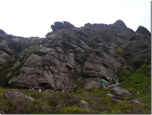
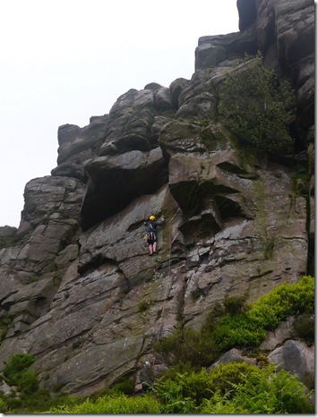
The Roaches, Hen Cloud and Ramshaw Rocks are a rocky escarpment formed from gritstone and their appearance is quite spectacular. The area is very popular with rock-climbers, indeed we saw a goodly number out today.
P1020496 First stop of the day, Simon (our glorious leader on the Left)
Up and down we went. Then up and down again. To be honest I’m not at all sure where were went. I spent a good half-hour looking at my map this evening, and apart from picking out a few features that I knew we visited I just can’t be sure of the route. What I can say about the route with absolute certainty is that is was a bit good – not the usual trade-route along the Roaches to Lud’s Church and back.
So, anyway, I’ll just write less about the route – and put up some nice photos.
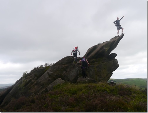
P1020500Posing on top of the escarpment
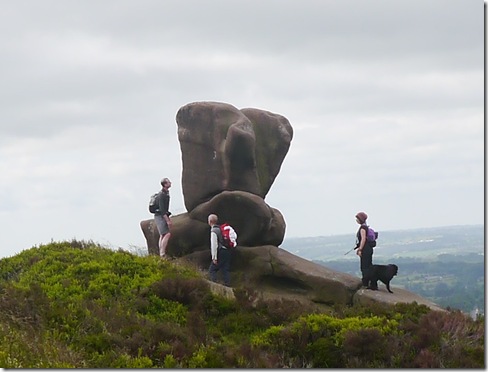
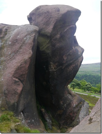
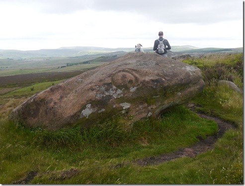
There are plenty of wonderfully-shaped tors and other rock formations in the area, imagination can run riot when looking at some of them:
P1020505
P1020511 A face?
P1020521 Reptile Head
P1020522 
He’s got more bottle than me!
P1020526
Crag rats
P1020535
Even more Crag Rats
P1020548 
P1020533
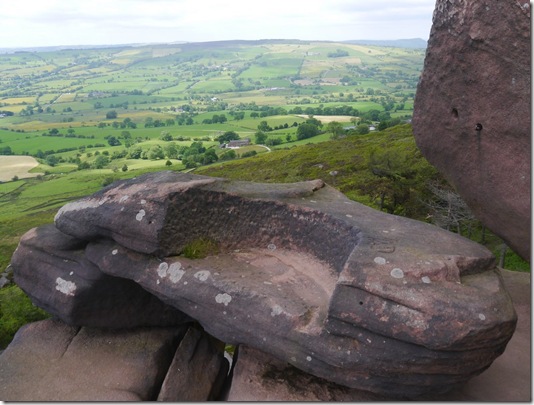
The Queen’s Chair
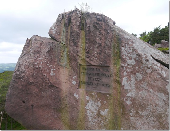
Although why the Queen’s Chair is so named is a bit of a mystery – especially as the spot was visited by the Prince and Princess of Teck a bit back:
P1020532I tink Teck is German or perhaps has some German connection. I dunno. I shall have to ask 'er indoors – she knows everything.
More views over the surrounding (and some quite distant) countryside:
P1020553 Alderley Edge
P1020558
The pimple on the skyline is The Matterhorn Shutlingsloe
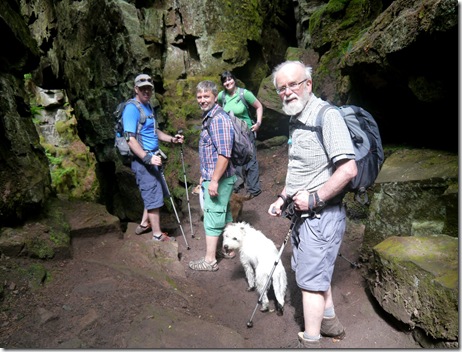
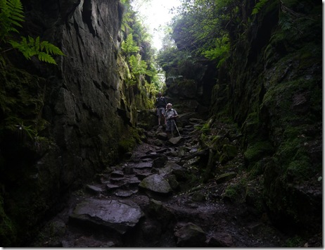
After not a lot of time we dropped into Lud’s Church, which isn’t a church – but a cave. and not really a cave because it’s not go a lid on it. It’s really just a deep and rocky gully. Because it’s so deep there are lots of ferns and probably a few rare plants down there, the conditions are moist and quite stable.
P1020560
P1020565
P1020568 The remains of a very rare money tree
Here’s a map with Lud’s Church on – highlighted with a little red flag:
image It’ll give you some idea of the terrain but it won’t show the mud in Lud’s church.
Lud’s Church behind we sort-of turned back, south-eastish through Forest Wood (isn’t that a bit like saying Wood Wood….or Tree Forest?) that followed the valley of Black Brook. A bit of a tug up to Roach End – and an ice-cream van. Well it would have been rude not to. So I wasn’t, and after parting with £2 I was presented with an enormous and delicious ice-cream. And it was none of yer Mr Whipee crap. Oh no, this was REAL ice-cream. Yum!
Some of our party chose to walk along the top of The Roaches, whilst others (me included)followed the very pleasant road back. There was very little difference, timewise – we were all back at the car-park within a few minutes of each other.
‘Twas a good day out, just what the doctor ordered. Thanks to the entire party for letting me come along, for sharing, for putting up with me – especially Meravingian for making it happen.
I think we ended up doing around 13.5 miles and we seemed to visit Hen Cloud, Ramshaw Rocks, Roaches Ridge and Lud’s Church – although we missed out the spectacular Hanging Rock. I’ve been to Hanging Rock loads of times, but it still takes my breath away from the top!  Hopefully some kind soul will tell be where we actually went today so I can put up a route map.
More pics, including some really interesting shots of the rock formations.

Tally-Ho! Whitworth Wander / Turkey Trot 2023

  Whitworth Wander – Turkey Trot, 27 th of a very wet December 2023 In memory of the late Brian Whitworth, a fine man, my friend, and a for...