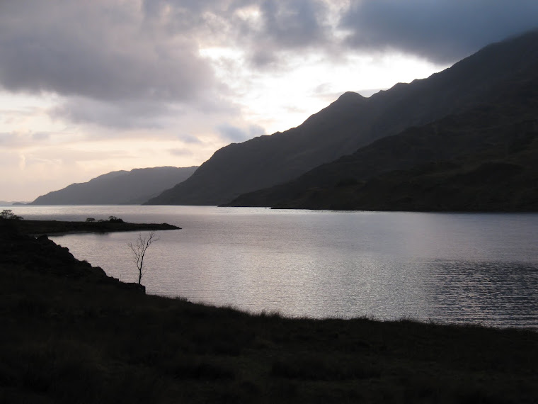
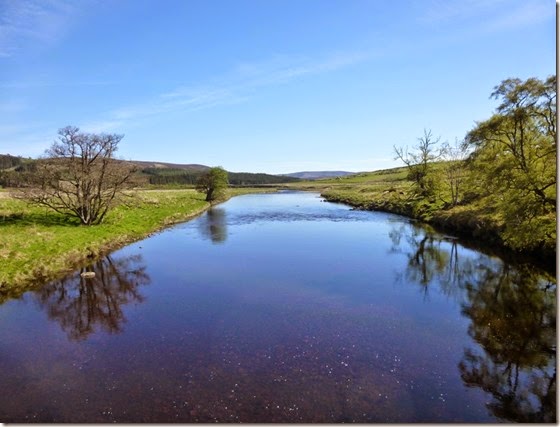
View from Oban Bothy

View from Oban Bothy

Wednesday 25 June 2014

Thursday 15th May, TGOC2014 Day 7

Aviemore to Derry Lodge via Cafe Akto (Cairngorm Club Footbridge branch). Not.

We did a bit of shopping in down-town Aviemore: lunch for Viv’s long train journey home, odds and sods for Alan and I. Leaving Viv to find her way to the railway station, Alan and I set off in an Easterly direction (East is good…..etc) to meet up with Cafe Akto (Cairngorm Club Footbridge branch) for bacon butties and coffee.

We missed the turn-off from the road and ended up taking the Loch Morlich / Rothiemurchus Lodge footpath to the Lairig Ghru instead. This meant we missed Cafe Akto. A bit of a faff but I suppose our waistlines were safer for the lack of bacon butties.

P1010682 The start of the climb up through the Lairig Ghru – and Alan in the distance

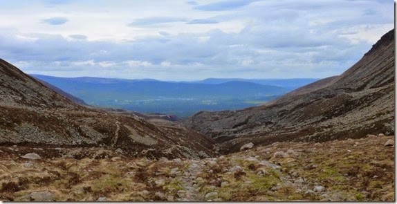
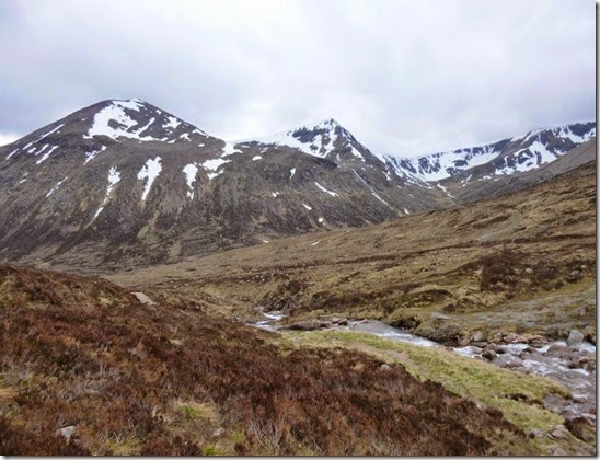
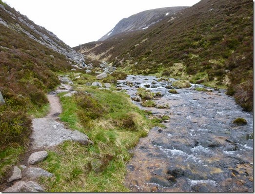
The Lairig Ghru isn’t a hard climb in decent weather, it’s just a slog. It got quite breezy on the top and there was a goodly amount of hard, frozen snow around – much of it covering the horrible rock-fall bits on the top. As long a care was taken, it made for a much easier traverse than without the snow.

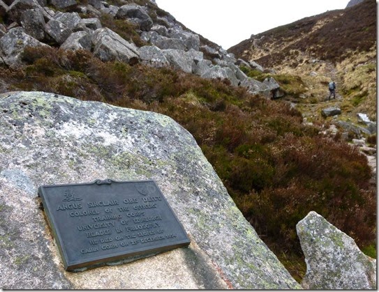
P1010683Dedicated to the memory of Col. Angus Sinclair, died 1954 on the slopes of Cairn Gorm. And that’s Alan disappearing into the distance.

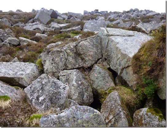
P1010684 Un-snow covered rocks. Horrible to cross

P1010687Looking back at Aviemore. Honest. 

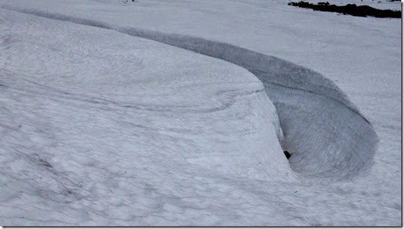
P1010693 Snow sculpture

P1010694

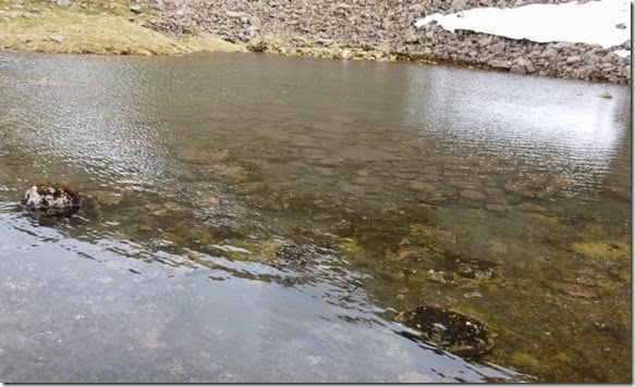
The wonderfully crystal-clear Pools of Dee

Soon after the Pools of Dee we began to descend. Up until this point the streamlets were shrinking in size the higher we got. Less water flowing y’see.

Over the watershed and water flowing t’other way, the watercourses gradually grew in size. It was still a long way to our destination – and I was quite knackered.

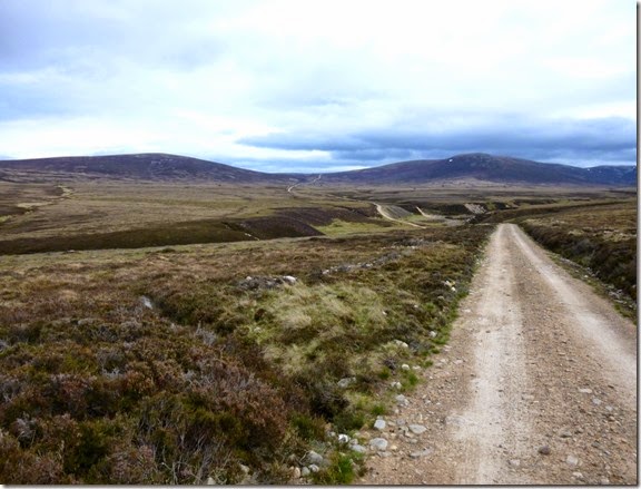
P1010696 Walking south, descending the Lairig Ghru 

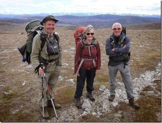
I caught Alan up close to Corrour, he was chatting to Ian (can’t remember his surname I’m afraid) who had a really nice pitch close to the path whilst far enough away from the bothy. We really didn’t want to stop at Corrour Bothy, it’s not the nicest place to spend the night and we were quite determined to push on to Derry Lodge.

At around 8 – 8.15pm we rolled up at Derry Lodge, more than a bit tired. A few tents were pitched around 100 yards away, not Challengers though.

P1010698

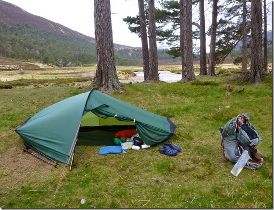
Breezy pitch at Derry Lodge

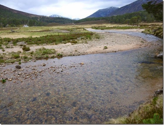
P1010699The clear waters of the Dee 

Once our tents were up and we’d eaten, other than using the en-suite, I don’t think either of us left our tents that night.

I slept well.

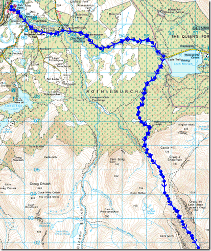
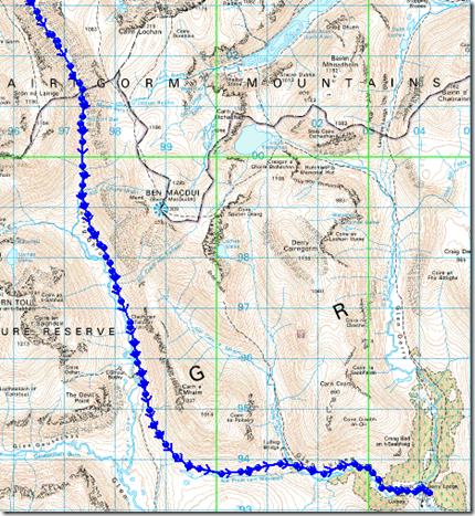
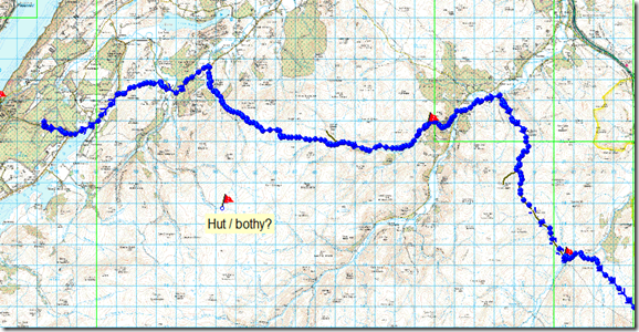
This is where we went: 19 miles / 2600’ of ascent

image

image

25th June 2014, Does size matter?

Time for a changNow that the nights are closing in I’ve been spending time doing other stuff in the long and dark evenings. Like thinking about things.

One of the things that has been bouncing around my little brain is size. Well not particularly size per se, but the units of measurement used to specify size – length and height in particular.
I’m thinking more of the units of measurement I use when describing a route that I’ve walked or cycled.
Should I use good old imperial feet and inches, or the new-fangled SI, metric system?
‘Imperial’ does sound rather superior though. On the other hand it’s much easier to calculate in units of 10 rather that 12, 25.4, 36, 1760 etc.
Kilometres fly by so much more quickly than miles – but there’s always more of them to cover. Ascent in metres is a whole different ball game when measured in feet. It’s a perception thing.
It’s a tough one.
These things are important. In 1999 NASA lost the $125 million Mars Climate Orbiter because an outsourced engineering team used imperial units of measurement whilst the NASA team used the metric system for a particular spacecraft operation.
From the ever informative wired.com:

Metric Math(s) Mistake Muffed Mars Meteorology Mission

Thoughts anybody?

Wednesday 14th May, TGOC2014 Day 6

Cafe Akto to Aviemore

A clear (=cold) night had the Saunders Spacepacker Plus tent a little bit icy in the morning – it took a bit for the sun to make it’s presence felt so I thought it would be rude not to take advantage of Cafe Akto.

P1010658 Cafe Akto Proprietor, Chef, Barman and all round good egg….Mr Pie, preparing brekky

A splendid bacon butty and a mug of rather nice coffee later and the tent was defrosted – and so was I.

Orf we jolly-well went, trying very hard to follow the recommended route past Glenmazeran Lodge but before we knew it we were on exactly the wrong path. Oh well, I don’t think anyone was at home.

P1010659

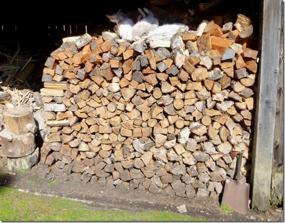
Glenmazeran Lodge’s wood store

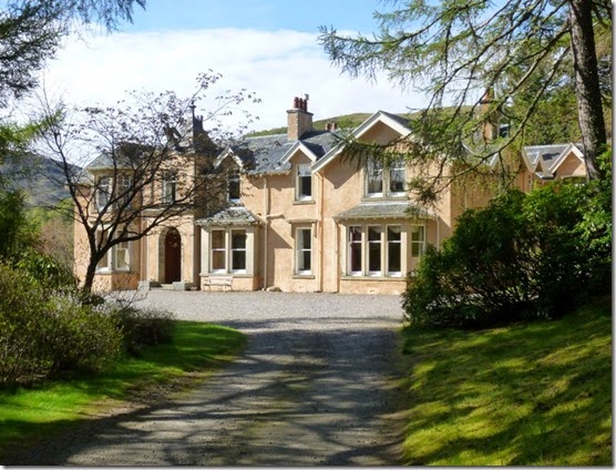
P1010660 Glenmazeran Lodge

P1010662

Crossing the River Findhorn

Our route took us across the River Findhorn at Dalmigavie Lodge and then a steep LRT climb up the side of An Socach. I’ve followed this route a couple of times before and I’ve really enjoyed it. Today’s walk was equally enjoyable: great company, a great route – and the sun was shining. What’s not to like?

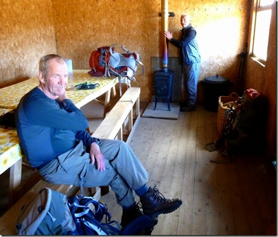
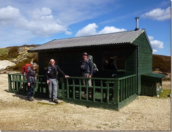
The route passes a couple of lunch huts used by the (wealthy) hunting fraternity and (probably) not quite as wealthy TGO Challengers. Our first hut was the venue for our first lunch stop of the day.

P1010665L-R, Croydon & Alan

P1010663 Fed and watered, Viv, Alan and Croydon ready to leave the Wendy hut

P1010668Looking back at the Wendy Hut 

As you can see from the photographs, the weather was dry and bright – warm even. Sometimes. When the wind wasn’t blowing anyway.

P1010672 Croydon, Viv & Alan

A couple of minor navigational faffs delayed our arrival at Red Bothy, venue of our second lunch of the day. On my Challenge two years ago, the last time I was here, the weather was somewhat different – sleet and snow, which made progress difficult and unpleasant.

Appetites satisfied we followed the Burma Road to our end point of the day, Aviemore. It’s a boring but very simple route to follow, even in bad weather – but it’s a bit of a slog.

P1010676

Burma Road towards Aviemore

I’m curious to know the history behind the name of the Burma Road – can anybody out there in the blogosphere enlighten me? The most common story I’ve heard is that the road was built by WW2 prisoners of war but I’m not at all convinced.

Tired and hungry, we arrived at the bunkhouse which was our accommodation for the night. We’ve stayed here before and it’s good. And it’s next door to a pub, the Old Bridge Inn. The pub provided superb but expensive food, it appears to be morphing into more of a restaurant these days. The beer was okay but should have been better, it wasn’t particularly well-kept.

We’d had a long day and were ready for our beds. It was Viv’s last day of walking with us, she had far more important things to do. Like going home to sleep in a proper bed.

Anyway, this is where we went: around 17 miles with 3000’ of up.

imageimage

Monday 23 June 2014

Saturday 21st June 2014, Bletchley Park

The longest day, a visit to the home of the WW2 'Code Breakers'

First the bad news: the nights are closing in.
It gets better:
When the opportunity to visit Bletchley Park arose it took me around 2nS to decide to take up the offer. One of Mr Branson’s Pendolino trains provided the means of getting to Milton Keynes whilst friends John and Martin provided transport for the last few miles.
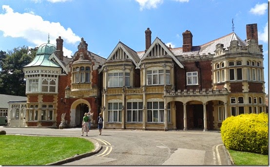
20140621_131933The Mansion 
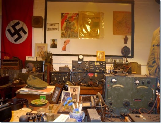
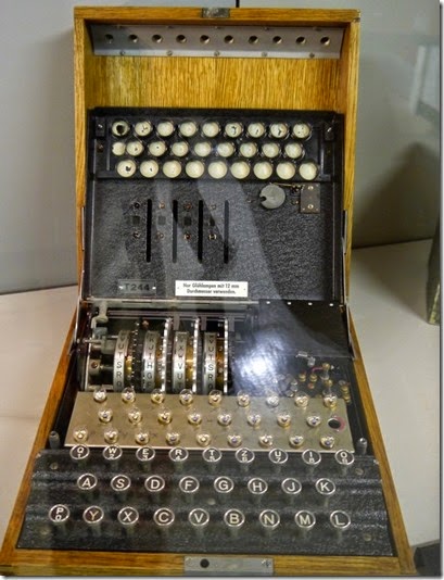
The Code Breakers who were based here were a select group of men and women who had the incredible mental agility to break what seemed to be an impossibly complex system of encoding and ciphering. The codes were generated using Enigma machines – fiendish bits of kit that were capable of generating millions of different codes.
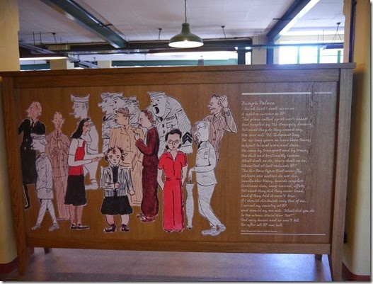
The Code Breakers weren't able to carry out this vital work alone, they were assisted by an army of ancillary staff: wireless operators, those who variously fetched & carried, maintained the decoding machines, and many other roles that we can only guess.
The work was generally carried out in huts, which until recently had been allowed to fall into a state of disrepair. Fortunately 'someone' had the foresight to realise that we were in great danger of losing this important link with our recent past and so money was thrown at the problem.
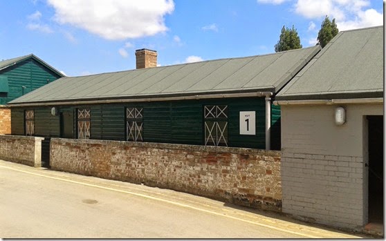
20140621_131731Hut 1 
The most well known role of the Code Breakers was their involvement in the Battle of the Atlantic, fighting the menace of the German U-Boats.
It is less well known that efforts of the Bletchley Park Code Breakers also played a huge part in other theatres of WW2: the wars in the air and on land.
It's impossible to say with any certainty by what period of time WW2 was shortened by due the work carried out here,  but it was very considerable.
Secrecy was vital, if word ever got out about the work that was carried out here the consequences would have been unthinkable. Even husbands and wives working here never let on to one another about the work they carried out. In fact it’s highly likely that a majority of those working here had no idea what they were doing – just that the work was of national importance. In reality ‘national importance’ was an understatement, ‘national survival’ was nearer the mark.
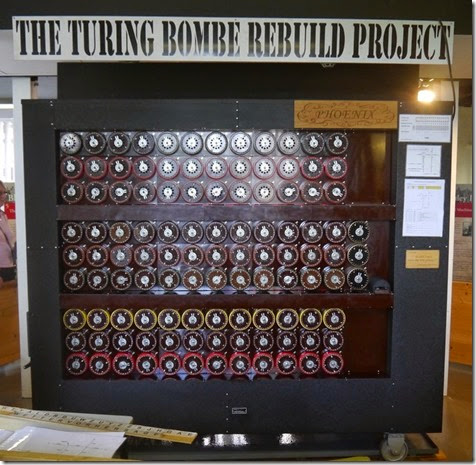
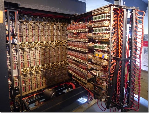
As the systems used by the Germans became more complex it was Bletchley Park’s code breakers that faced the challenge and succeeded in breaking the codes, eventually designing and building electro-mechanical computers such as the Bombe:
P1020936The Bombe 
P1020935 The inside gubbins of the Bombe
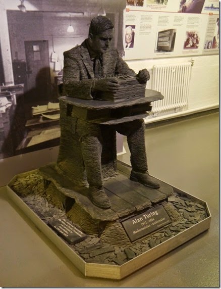
Key to much of this work was the genius that was mathematician Alan Turing:
P1020933Statue of Alan Turning with an Enigma Machine 
As more and more processing power was needed to crack the German codes the world’s first electronic computer was built and designed here. Jack Copeland’s book on Colossus is brimming with information.
My brain is still buzzing from this visit, there’s so much history crammed into Bletchley Park that it’s beyond me to effectively put it into words. You should go yourself to check it out. entry is £15 but that gets you admission for a whole year. I need to go back again, I missed so much.
Rather than any more of my drivel, here are some pics:
P1020922
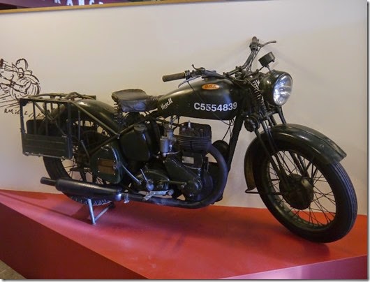
P1020916  A BSA M20 (or M21?) side-valve
P1020920
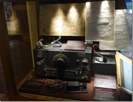
A National HRO receiver
P1020929
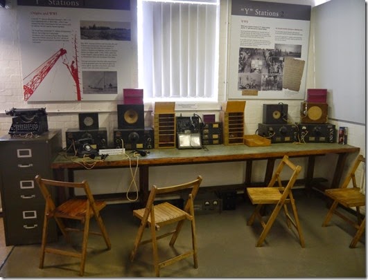
Reconstruction of a monitoring station
P1020926
P1020928 An Enigma Machine
More photos are here. This album will be added to in the next few days.


Tuesday 17 June 2014

Sunday 15th June 2014, A Peover Plod

Our Glorious Leaders: Fast Pike & Even Faster Blackshaw

At 9am on the Ides of June (Eh?) a dozen walkers gathered in the pretty Cheshire village of Mobberley – right in the heartland of East Lancs LDWA (Timperley Chapter) walking country.
The Plan might have been to plod through fields and meadows and get our feet wet. If that was The Plan, the result was a success. Wet feet or not, it was a cracking walk!
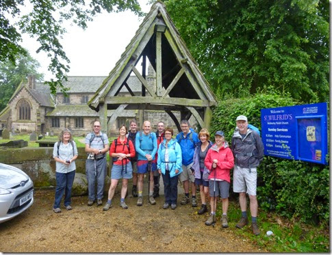
P1010900The Congregation
George Mallory: Bottom left
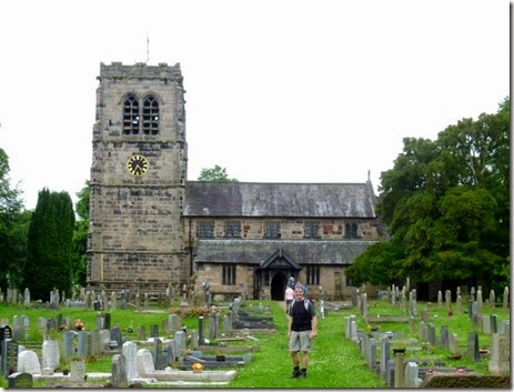
‘Before’ photographs were taken against a backdrop of the Grade 1 listed St Wilfrid’s Church famous for being very old and having a window dedicated to the memory of mountaineer George Mallory who was born in Mobberley.
Off we jolly-well went, walking in a sort of south-ish direction, keeping Knutsford on our right. There was a very light mizzle in the air but we were all expecting it to brighten up considerably and so not many waterproofs were in evidence. Not yet anyway.
The village cricket pitch was deserted as we passed by – many of the good folk of Mobberley were probably still in their beds.
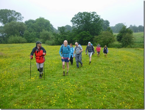
P1010901
Continuing south to open country (well farmland actually) we met the first obstacles of the day: high stiles (that get higher every year) and thigh-high crops – that get higher every day. The crops had benefited from a good soaking from the previous night’s rainfall which resulted in all of our party getting wet legs. Oh well.
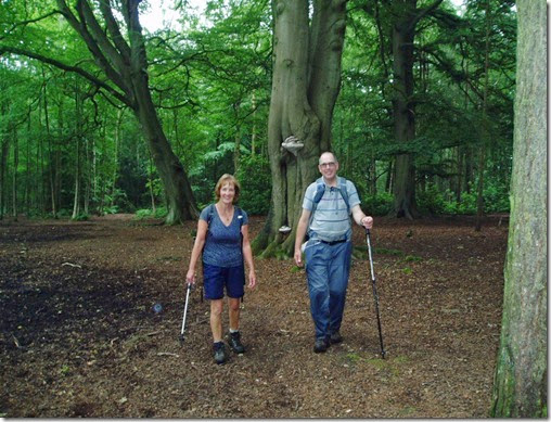
P1010195
The mizzle continued and by the time we were approaching Ollerton the whole party had donned their waterproofs. It was about this time that we met a Ramblers group walking the other way. They were shocked to find that we were intending walking 15 – 16 miles.
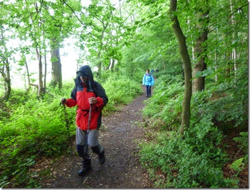
P1010905Bob leading through the dry bit Windmill Wood.
The footpaths through Windmill Wood have been bone dry every time we’ve walked through in the past. Not today, they were muddier than a very muddy thing and those who’d escaped muddy feet so far just had to admit defeat. Or should that be defeet? Or even de muddy feet?
Never mind.
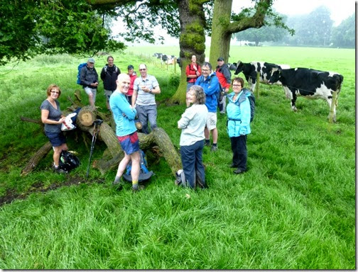
P1010912Brew stop en-route to Toft Hall
P1010914Toft Hall through the mizzle
Next landmark was Grade II listed Toft Hall, a rather grand 17th Century country house. Property developers got hold of the place a while back, spent a load of dosh doing it up and they now describe it as a ‘sumptuous 21st Century residence’. It’s certainly a bit nice.
The paths around Toft Hall were quite squelchy. A mixture of cows, rainfall and badly drained ground saw to that. Our gallant band of walkers weren’t overly mithered about staying dry by this stage – we were all so wet and muddy it really didn’t matter any more.
P1010917
Entering Pee-Over Peover
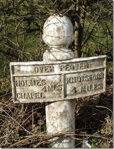
Peover – pr: Peever, NOT Pee-Over. Alma.
Well anyway, there’s a lot of Peovers: Peover Inferior, Peover Superior (well it IS Cheshire), Lower Peover…..you get the idea.
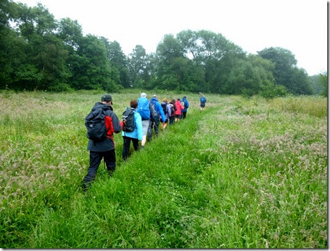
P1010918
Our route took us through Smithy Green (which is in Peover Inferior) and then into the village of Lower Peover which was designated as our lunch stop. We stopped and had lunch – fairly quietly….’cos the only shelter from the mizzle most could find was in the church’s porch. And there was a service going on. Either that or they were having choir practice.
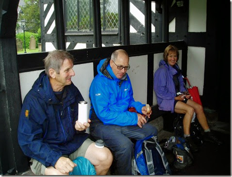
P1010198P1010199
St Oswald’s church is a Grade I listed building. There’s been a church on this site since 1269 and although there’s not a right lot of the original building left these days there are certainly parts of this building that date back to 14th Century.
See? Come on one of our walks and you learn something every time. Although it might not be of much use….
Lunch done and dusted, our next waypoint was Peover Superior and Peover Hall, a Grade 2* listed building. Whatever that means….but I’m sure it’s important. It’s a large Elizabethan family house dating from 1585 – must have been awful to be their window cleaner. The house is situated in around 500 acres of landscaped 18th Century parkland. A bugger of a job for the gardeners.
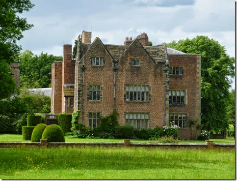
P1010896 Peover Hall
Peover Hall and it’s adjacent church provided an excuse for a sit-down and another cuppa, and that’s just what we did. The mizzling had eased off considerably by this time and the sun was threatening to make its debut appearance of the day.
We were now heading north, back to our starting point – although we still had a goodly few miles to cover before we could kick our soggy boots off.
P3110388
We were very fortunate to have Bob join us on this walk. Bob works locally and his lunch breaks are often spent wandering the footpaths of this area so he was able to fill in the (many!) gaps in our local knowledge. Thanks Bob!
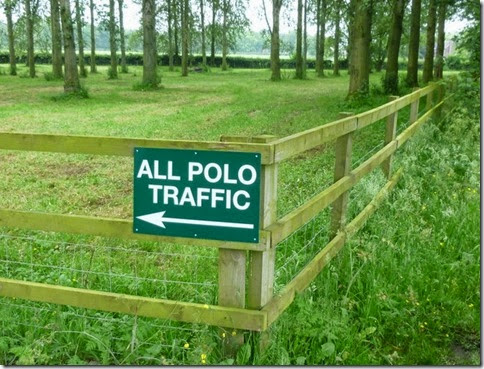
P1010933 Like I said, it IS Cheshire!
Back north we headed, across even higher stiles and the odd fetid swamp.
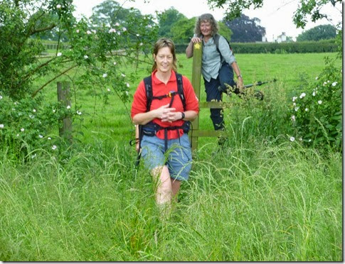
P1010935 One of those pesky growing stiles. And Mary & Viv.
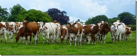
One field we had the pleasure of crossing was populated with very frisky and inquisitive young cows. Norralot of fun for some of our party!
P1010899
At 4.35pm we arrived back at our cars. We’d a had a cracking day out in excellent company. Shame about the weather early on. And the mud. Oh well.
P1010941a The End

….apart from where we went. 16+ miles of pleasant, if muddy in parts, flatness:
[image%255B71%255D.png]


Tally-Ho! Whitworth Wander / Turkey Trot 2023

  Whitworth Wander – Turkey Trot, 27 th of a very wet December 2023 In memory of the late Brian Whitworth, a fine man, my friend, and a for...