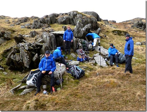
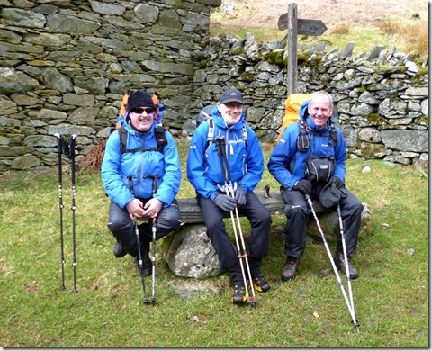
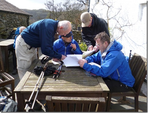
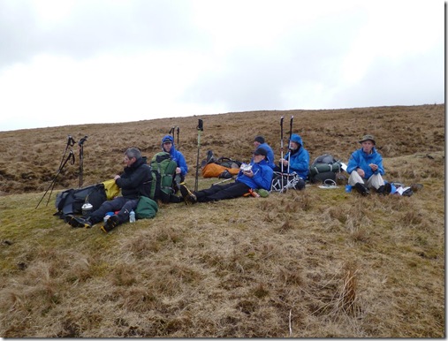
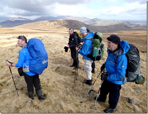
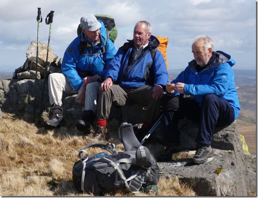
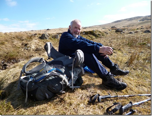
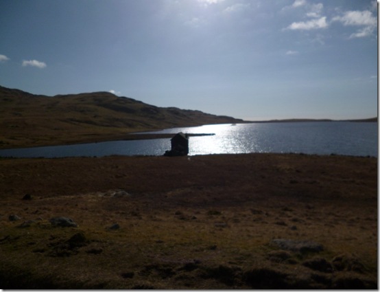
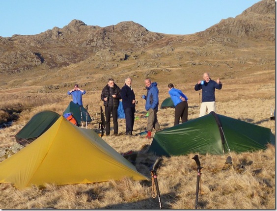
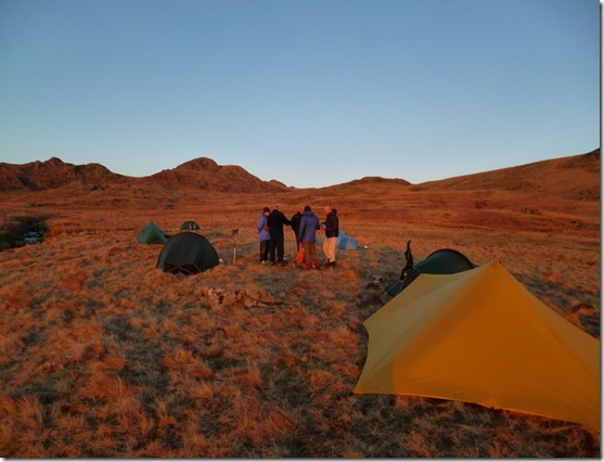
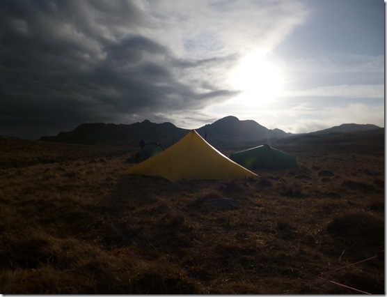
View from Oban Bothy

View from Oban Bothy
Showing posts with label Pubs. Show all posts

Sunday 16 November 2014

15th November, Tally-Ho! from Nangreaves, Route v4.2

The real thing..

A number of exploratory / recce trips to this area were needed in order to finalise this route, mainly due to the large number of illegally blocked Rights of Way (Right of Ways?), completely unmarked footpaths and generally difficult to navigate ground. An a lot of mud.

Anyroadup, this is what happened on the Big Day…

image 

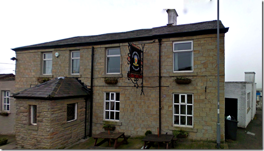
The Lord Raglan, Nangreaves

The choice of this pub as a venue for Tally-Ho! had absolutely nothing to do with The Leyden Brewery. Nothing at all.

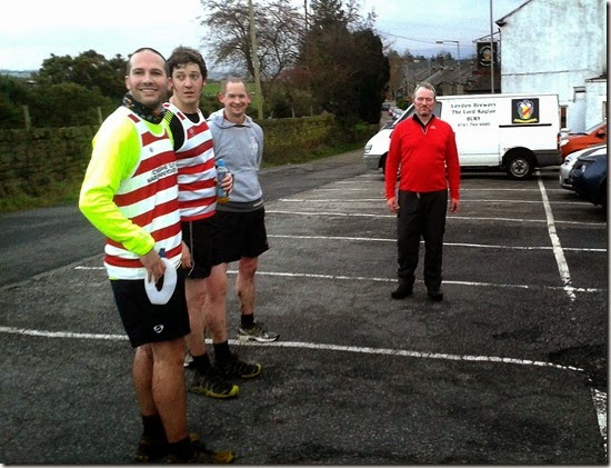
First to set off from The Lord Raglan at Nangreaves were Ding Dong and Whitworth. They had arranged to meet at the pub at 12.30, thus ensuring an early start. After a leisurely tour around the lanes of South Lancashire, Ding-Dong arrived promptly at 1.30pm thus ensuring a not terribly early start.

Rumours of a collection in the pub to raise dosh to buy Ding-Dong a map are completely false….I think they want to buy him a SatNav so his navigation prowess could match that of Whitworth’s…..and he NEVER gets lost. Well, not very often – especially now he has a new Merc with a built in SatNav.

Whitworth and Prez Park left the pub in a blur (well that’s what the drunk outside the pub said), heading north along a short strip of tarmac. The money men (Ding Dong and Mapless  Taylor) ran together – leaving a little later than normal.

The dryness of the tarmac wasn’t to last long. Leaving the road, the extremely well-laid sawdust trail led our valiant heroes to a soggy path of a couple of hundred yards (around 183.44m). Damp grass drenched their running shoes comprehensively. Nice.

Other runners followed in their wake, all finding the extremely well-laid trail very easy to follow.

Whilst the hounds were enjoying (eh?) following the trail, the hares were taking great care to leave a clear sawdust & paper trail across some seriously rough and boggy ground.

First obstacle of the day was the illegally blocked footpath at  Croston Close:
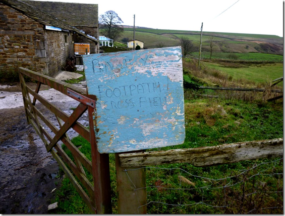
image A Concessionary Path is offered as an alternative route, but the path through the farmyard exists as a Public Right of Way – the landowner clearly has a different opinion.

Next came the first ‘river’ crossing of the day. In recent weeks the stream that is Cheesden Brook had been a mere 2 – 3ft wide (609.6– 914.4mm….approx), the recent heavy rain had swollen the watercourse quite considerably. This ensured that many pairs of Innovates were suddenly mud-free. For a minute.

An uphill pull to a track led the hounds to Ashworth Reservoir. Once through a heavy metal gate the trail ran alongside a Water Authority-built wall to pick up a minor road at the east side of the reservoir.

The Trail-Layers were on the return leg of the trail and were able to watch some of the hounds, on the outward leg, as they ran along that stretch of road. Fortunately they were too far away to be able to hear the runners cursing, swearing and plotting sweet revenge.

Once across Edenfield Road, Knowle Hill came into full view. Curses were heard to be uttered as it slowly dawned on the hounds that the trig-point at the top was to be their next objective. And so it was.

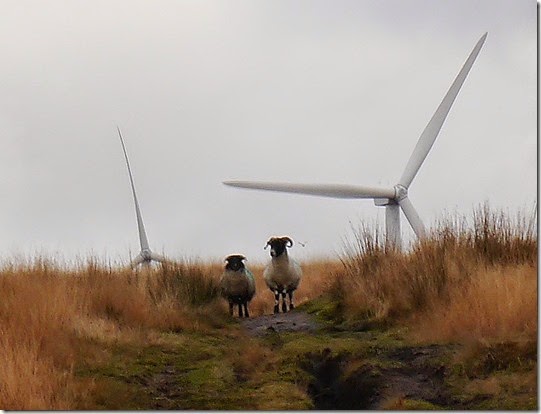
Mud, bog, streams, windmills and sheep were just some of the hazards to be encountered on this uphill stretch. The sheep seemed intrigued:
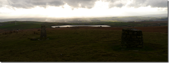
P1030145

image The view south from Knowle Hill

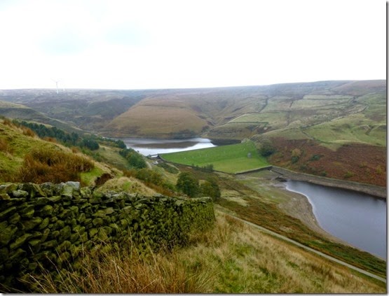
A clear path off the eastern flank of Knowle Hill led the runners along part of the Rochdale Way, (thank-you Wiki!) in the direction of the Naden Reservoirs. The reservoirs only became visible after climbing a stile at Dixon’s Brow. The change of scenery was quite a revelation – so far the views were mainly of moorland, bogs and mud. To see the land open out in such a dramatic way almost caused some to stop and stare for a few minutes. It was either that or they were knackered after Knowle Hill and they needed a breather.

P1030208aNaden Reservoirs 

Clumps of sawdust and the Rochdale Way made for easy navigation as the route swung south and then west(ish) on the return leg.

Another stream crossing and on through Knowl Farm:
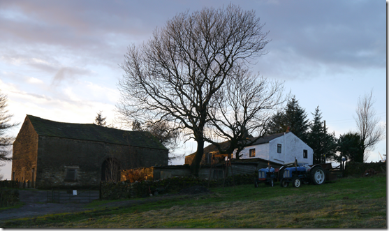
imageKnowle Farm, used for filming ‘Last Tango in Halifax’ 

Re-crossing Edenfield Road gave temporary relief from the mud and gunge, in fact there was a good 10-15 minutes of relatively clean running. Until a particularly muddy, sludgy stretch of track that led to a particularly muddy, sludgy river crossing. It wasn’t long before Ashworth Reservoir once again hove into view, this heralded some nice running along only slightly horrendously waterlogged ground.

The Right of Way runs through Yates Farm but there was so much rubbish and detritus on the ground that a diversion was needed. It looks like the place is used as a scrap yard, a real mess.

Much nicer running followed once passed the farm: good tracks and paths, a short stretch of tarmac, and then a really gloopy farm track.

An uphill pull to a ‘notch’ on the horizon indicated the last stretch of the trail, although it was only once through the notch that it became clear the running was almost done. A stile and a short stretch of tarmac had us back at the pub.

20141115_161112First runners in 

imageNext in, Paul and Les 

The trail seemed to have been generally well received – although the beer at the pub got a better reception. It was rather good – just a shame I was driving.

Numbers were a bit low today, only 14(?) members sat down to a filling dinner of stewy stuff and mushy peas followed by fruit crumble. ‘Always hungry’  Blackshaw was unable to stay for dinner due to family commitments, this left Murray in a bit of a quandary regarding his pudding. He needn’t have worried though, help was at hand and his pudding vanished in the blink of an eye.

Layers of trail were Blackshaw and Jocys who had a thoroughly good day out – and even managed to beat all the hounds back to the pub.

This is where we went:

image

Around 9 miles with about 1200’ ascent

That’s according to Memory Map and my Garmin Etrex20. I felt I could do with a good laugh so I took my SatMap Active10 along too. According to that heap of junk we covered 16.75 miles.

Impressed, eh?
Tuesday 17 September 2013

Tuesday 3rd September, Another Curry Walk

An email from the Long Suffering Rick gently hinted that a Curry Walk was overdue. I fired off emails to those well known Curry Walk aficionados, Martin & Alan. Alan was predictably enthusiastic, Martin was willing but the flesh it was weak – a particularly painful back problem meant he was virtually immobile. The decision was taken: we’d do the walk and eat Martin’s curry for him. Oh, and drink his beer at the end.

My old friend John had been cajoled into joining us. He’s not that old really, but he does enjoy a curry. And a walk. He’s quite partial to a few decent beers too.


Rick planned the route, it was his fault turn. A tram ride from Timperley whisked us up to our rendezvous point with Alan:  Prestwich on the north side of Manchester.


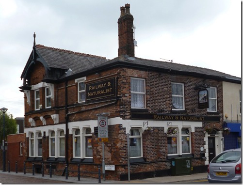
The Plan (Ho-ho!) was to follow the banks of the River Irwell into the centre of Manchester. To get to the river from our start point meant wandering down a short section of the busy A56 Chester to Broughton (North Yorkshire) road. You can often turn up some real gems if you keep your eyes open when walking through built-up areas, like the delightfully named ‘Railway & Naturalist’ pub:

P1020677 The Railway & Naturalist, Prestwich
 
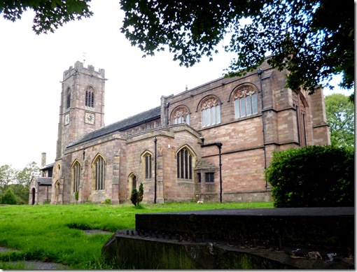
Leaving the busy A56 to walk through Prestwich village we passed the old church of St. Mary the Virgin:
P1020679The building has been extended over the years You don’t need to look too carefully to spot some of the alterations. Alan knows more about it (and the pub opposite), he and Sheila used to live locally.
 
P1020683
 
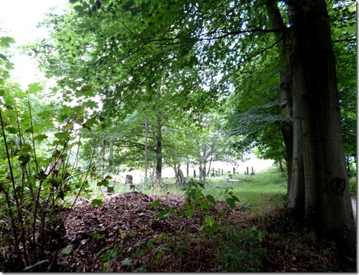
After walking through the wooded graveyard we followed a very good path that took us through Prestwich Clough > Drinkwater Park and then the River Irwell:
P1020693
Rick doing a map check…..John McN checking the location of his marbles
 
P1020694 The River Irwell

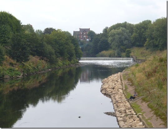
Most people think that the course that rivers follow as they wend their merry way into busy city centres as being dreary at best. The route the River Irwell took was anything but – it was quite delightful.

P1020705
P1020699

The path was very pleasant indeed although there were constant reminders of our close proximity to central Manchester:
P1020703  The Manchester skyline, the 550’ 47 storey Beetham Tower on the RHS

 
P1020704
Manchester City Council appear to have provided comfy seating on the route. Nice, eh?
 
P1020706 
I’ve no idea what this is, perhaps a tribute to the area’s industrial past?
 
P1020711
P1020712

I think this building may have some connection with the old trolley-bus system that was in use in Manchester until  1966.

British Trolleybuses - Manchester - geograph.org.uk - 559504.jpg
A Manchester Trolley-bus in 1966. Pic taken from Wikipedia.
The weirs of the river began to sound unnaturally loud….then I realised I was hearing the rumbling of stomachs. It was getting towards 2pm and we were hungry, hungry, hungry.
P1020720
Above: the view to Salford from the bridge below:
P1020721
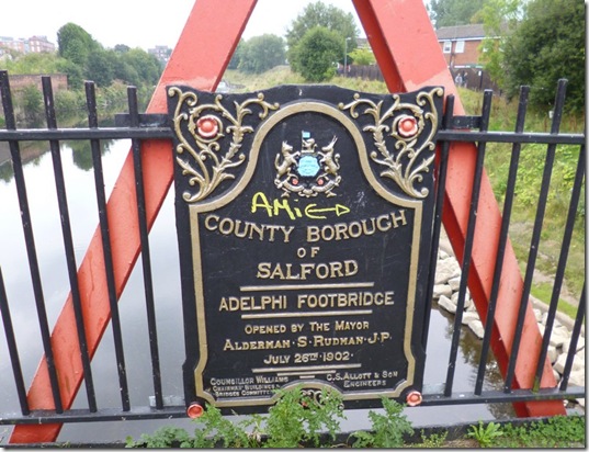
I can’t imagine local councils forking out for such elaborate signage these days.
 
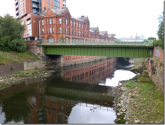
P1020724A sadder-looking River Irwell. The building behind the bridge is the old sorting office. So Alan says. And he knows about these things.
 
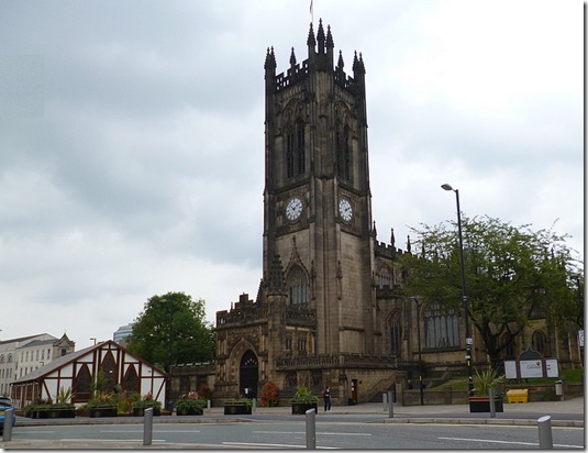
Our bee-line to the luxury of ‘This & That’ took us past Manchester Cathedral, a rather magnificent building that is undergoing some restoration work. Whilst this work is being carried out a temporary building has been constructed to serve the faithful:
P1020728 Manchester Cathedral with the Cathedral Pre-fab to the left.
 
P1020726No idea, but it goes to show that you should always look up when in a city centre. Not all the time though.
 
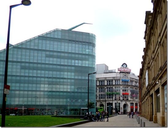
P1020729 Getting closer….The Urbis and The Printworks. I can almost smell the curry.
 
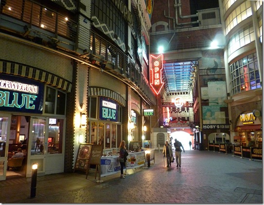
P1020731
Inside the Printworks
 
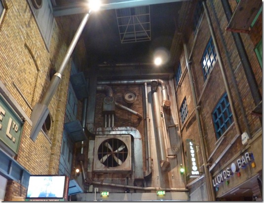
P1020732
Gotham City?
 
Moments later….well minutes later actually, (John McN and I found ourselves slightly lost) we entered the hallowed towers of ‘This & That’. No photos of our excellent meal, only the aftermath. We were too damned hungry to be messing with cameras.
 
I enjoyed rice with curried chicken, curried cabbage (wonderful!!), and dahl. All for £4.90.
P1020735 John McN and Alan, hunger satisfied.
 
The process of rehydration was carried out at the very excellent Ape & Apple where destructive quality control tests were carried out on some of Joe Holt’s finest ales. The ale passed all tests with flying colours. I wouldn’t have expected anything less…but it’s best to be sure.
 
It was great to see Sheila who joined us for a short time before John McN, Rick and I headed off to the tram and then home. She had lager, but she’s a lovely lady.
 
P1020736 Poor thing. Hot, sweet tea will help.

Alan reckoned we walked 13.3km, that’s around 8.3 miles in English. It was downhill. I know this ‘cos that’s the way that rivers flow.


A grand day out in excellent company. Oh, and we all thoroughly enjoyed Martin’s curry and beer. Thanks Martin, I’ll be down for a coffee in a bit.


You can read Alan’s report here, it has much nicer pics and a map.


More of my pics are here. No photos of the curries or the beer, we were too hungry and thirsty to be mithered.

Thursday 25 April 2013

17th April, Doing the Daundery

I was sat outside Foxfield Station in slightly damp conditions last Wednesday afternoon, awaiting the arrival of Denis who was enduring the hardships of rail travel in order to take part in this extraordinary annual training event – a bit of a daunder. This year’s Daunder was to be an assault on the some of the fells of the SW Lake District.
The wind was blowing a hooley and it was raining, the omens weren’t good. If it carried on like this we might get wet…and that would never do.
We whisked Denis off to the pub and our training commenced. The very excellent Newfield Inn is just down the road from Turner Hall Campsite (purveyors of fine eggs, amongst other things) in Seathwaite, Dunnerdale.  Those of you who know Denis will understand that he didn’t take too much convincing to start training at this early hour, but it needed to be done. Hydration procedures commenced, as did a great deal of gabbing. And eating. It wasn’t long before the rest of the Daunderers arrived, all looking soggy & windswept – but cheerful and optimistic. No sporks had been lost or broken – although one of Alan’s tent-poles had suffered a terminal injury in the high winds. Fortunately Morpeth was able to come the rescue, lending Alan the splice-pole from his Akto. It was wonderful to catch up with everyone and before long we had gelled back into the familiar group of friends that only manage to meet up once or twice a year.

After a slightly breezy night (ahem), the morning dawned and the bleary-eyed Daunderers assembled themselves into some sort of order. Some had maps – quite possibly the correct map for the area. Phil most definitely had the correct map – a flashy Harvey’s map, he wasn’t about to get lost!
The team set-off from the campsite in bright sunshine but a rest stop was called for after little more than half an hour, sleep hadn’t come easily during the previous night – high winds and heavy rain saw to that, all were rather tired.
P1010816Rest stop No1 
Suitably rested, the team set off and were soon above the, er, snowline. We had to be careful.
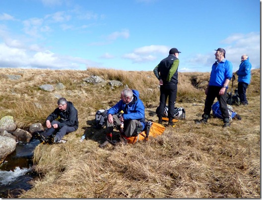
P1010817More breaks followed, this was an exhausting walk and rests were important. Eventually a fine lunch spot was found where butties could be scoffed and tea quaffed:
P1010824   Scoff & Quaff spot
Our pace needed to be regulated so more breaks needed to be endured. Gerry, our time-keeper, was a hard taskmaster – if our progress became too enthusiastic it was his responsibility to slow us down. This he did most effectively:
P1010831 See Nowt, Hear Nowt and Say Nowt
A re-route was called for (we were tired…did I mention that?) and someone made the executive decision to go via a pub, The Blacksmith’s Arms….that happened to be shut. Not a good choice.
We stared at the pub door, really hard. We stared through the windows, even harder. Thirsty-type noises were made. We paced around the beer garden. We gazed, glassy-eyed, at one another. We even broke into the Jelly Baby reserves. Nothing worked, the pub door remained firmly shut. We needed A Plan.
P1010835 The Planning Committee trying to plan
The Planning Committee came up with A Plan….Denis, Alan & Phil would keep our places in the queue, whilst the rest of the group would set out to find a suitable camp spot – intending to return later.
This was all very well in theory…..but theory and practice rarely go hand-in-hand, and so it proved to be. The Five Schismers (as we were named) soon split into a further two groups – the search for a suitable camping spot was proving difficult. Andy & Gerry disappeared over a big hill whilst Croydon, Morpeth and I continued to the general area that had been previously ear-marked as a suitable spot to spend the night. Anyroadup, what happened was that we stopped at the appointed camp spot, and very nice it was too. It was too far for us to return to the pub so our on-board supplies had to suffice.
Andy & Gerry pitched Somewhere Else before returning to the pub, then along with Denis, Alan & Phil, camped in a farm field, not too far from the pub. Before they went off to the farm field, soup and beer were consumed in considerable quantity. That’s what they told us – perhaps they were just trying to make us jealous.
We didn’t see the Five Boozers again until the following lunchtime.
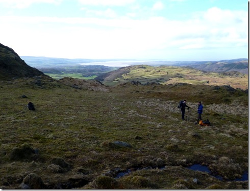
P1010839 Our beerless and soupless pitch for the night, overlooking Morecambe Bay
After spending a very comfortable night, Morpeth, Croydon and I set out to follow the route prescribed by Alan …..it was his Daunder, after all. The ground was generally good, if a little splodgy at times. The wet climb up Whitfell afforded great views – good enough for us to call a lunch stop at the first patch of dry ground, conveniently adjacent to a nice stream. Tea was brewed, soups dished up and views were taken in.
Most of the stragglers had also regained the proper route and we didn’t have to wait too long before they caught us up. Our lunch break was extended – the stragglers also dined with us.  
P1010843 Whitfell lunch stop
Denis had been forced to re-route, his back was playing merry-hell. The Planning Committee had formulated an alternative route that would still take him to that evening’s camp spot – but missing out all the lumpy bits.  As we dined on finest tomato soup, butties, jelly-babies and all manner of other goodies, we spotted a small speck in the distance – it was Denis on his alternative route. We waved but he didn’t wave back.
P1010854Daunderers in meerkat mode
Devoke Water beckoned, but as our average speed had increased to an unacceptably high level another break was ordered:
P1010858aEven this break was insufficient, so at Devoke Water a final, and much longer break was enjoyed. Andy even took the opportunity to bathe in the stream – although judge by the cursing I suspect this dunking was involuntary. Sadly I wasn’t quick enough with the camera.
P1010865Andy, 2nd R, pre-dunking
P1010867
Morpeth just chillin’
Once Andy had dried his damp bits the group set off as one. The group wasn’t yet complete – we hadn’t caught up with Denis at this point. The view back over Devoke Water was quite stunning, unfortunately the ground didn’t look too good for camping – lumpy, soggy and damp.
P1010871
The Stanley Ghyll track funnelled us to Birkerthwaite and it was around here the we caught up with Denis. He was chatting to Mr & Mrs Farmer who kindly pointed us in the direction of suitable ground for camping – and the venue for a Cheese & Wine party.
This first sizeable bit of dry ground did the job, within minutes all the tents were up and it was time for a pre-drinkies wash-down. Smelling sweetly, I joined the great unwashed for cheese, wine, and all manner of whiskies and sloe-gin concoctions.  
P1010884Cheese & Wine party in full swing
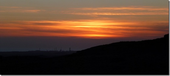
As the evening wore on, the scene became quite rosy – not sure if that was the evening sunlight, the glow from Sellafield….or the effect of the drink. Whatever, it was agreeable!
P1010889P1010896 Sunset over Sellafield
Clear skies made for a cold night, a 3am excursion from my tent was quite a shock – everything was frozen. By 8am the sun was well above the hilly horizon and the ice had melted away:
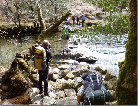
P1010901Leaving our overnight stop at just after 9am, we had just a few miles to walk to Base Camp, but this short walk wasn’t without it’s perils – a scary river crossing to rival anything the Challenge could throw at us. But this was a training trip, what could we expect?
P1010912
Lord Elpus, camera at the ready….just in case
Anyway, nobody fell in – not even Andy. Back at the campsite we removed smelly boots and other smelly stuff and drove to the pub to complete our training.
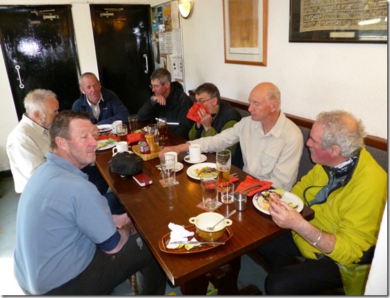
P1010919 Eating real food, drinking real beer, whilst sat on real chairs at a real table….luxury!
It was a cracking little trip with very good mates, mates you can rely on in a sticky situation….like they wouldn’t laugh at you if you fell into a river. Well not too much.

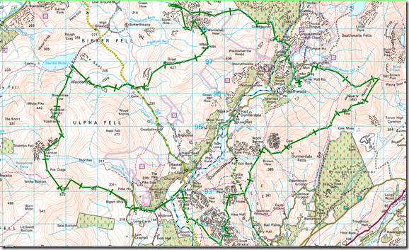
This is sort of where we went:

image  Image nicked from Alan.
It wasn’t very far or very hard, but it was a huge amount of fun. The route was in an area that was new to me, well off the tourist track. I’ll be going back to spend more time there, it was good.
Thanks for letting me share the trip with you all, you’re a grand bunch!
More photos are here.

Tally-Ho! Whitworth Wander / Turkey Trot 2023

  Whitworth Wander – Turkey Trot, 27 th of a very wet December 2023 In memory of the late Brian Whitworth, a fine man, my friend, and a for...