View from Oban Bothy

View from Oban Bothy

Friday 22 August 2014

Carpet Baggers 50

Another in the series ‘A bit out of order’, the Carpet Baggers 50 is an Anytime Challenge Walk….that means it’s a challenge walk that can be done at anytime. And it’s 50 miles. Obvious really, innit?

The Plan was to complete the route in 16 – 17 hours, with a 6am start there was half a chance of grabbing a pint at the end of the walk. It’s good to have an incentive.

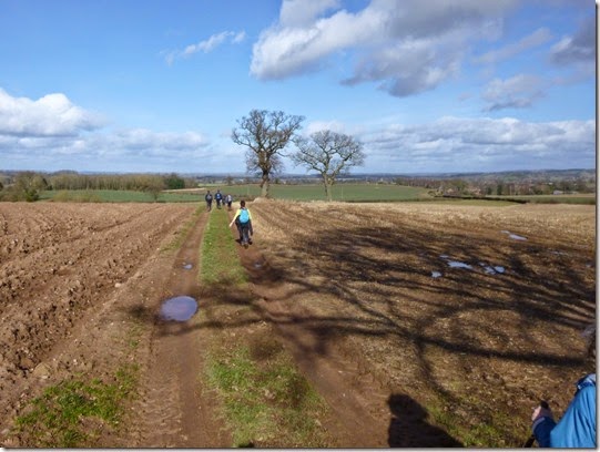
At almost 6am precisely the party, led by Aaron, left Birchen Coppice and headed to Bewdley and the western bank of the River Severn. It was a bit muddy.
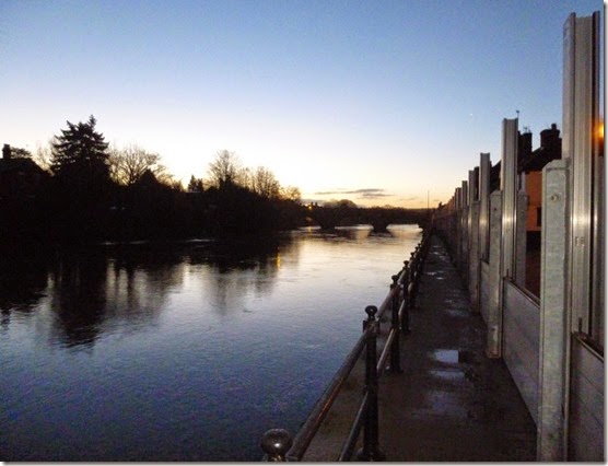
P1000859River Severn at Bewdley @ Stupid O’clock  

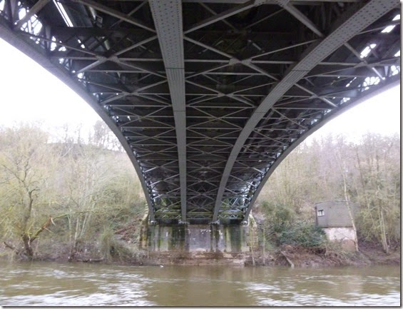
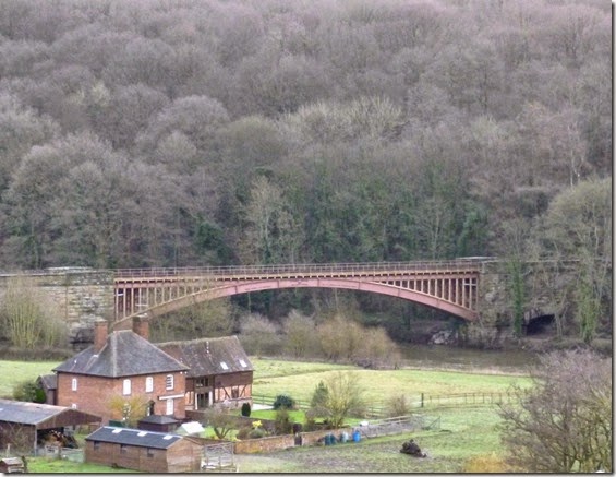
The River Severn is spanned by some beautiful ironwork, real engineering:

P1000864P1000865

After a muddy 5 miles of Worcestershire Way, the route briefly left the banks of the Severn and went through Seckley Wood. It was in this wood that I thought it prudent to examine the path very closely indeed. It was a sudden decision, very sudden. Only another 45 miles to go. With muddy knees. Oh well.

The paths through Seckley Wood weren’t as clear as the map suggested. Having only recently acquired the SatMap Active 10 GPS I was keen to try it out in anger. The SatMap wasn’t any help –it took 25 minutes to compute my location, by which time we’d succeeded in navigating out of the wood using map and compass.

A more detailed report on the poor performance of the SatMap can be found here.
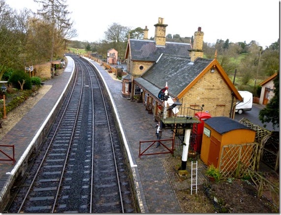
 

P1000866 Crossing the Severn Valley Railway, just after Seckley Wood

5 more miles of riverbank to cross the river at Highley and a stretch of very welcome dry tarmac.

P1000869

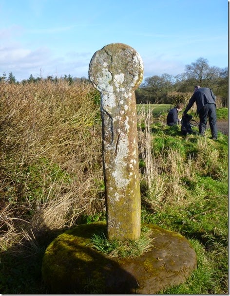
The first breakfast / lunch stop was at an ancient stone near Alveley, the ‘Butter Cross’. It’s a stone cross that dates back to the Black Death, it was where food was left when the village was quarantined.

P1000870The Butter Cross 

Miles and bloody miles (about another seven actually) of reasonably dry fieldery and roadery took us to our next breakfast / lunch stop at Claverley.

P1000873 Over the fields to Claverley

The plan was to grab some grub in the pub – perhaps a bag of chips and a pint of tea. Unfortunately the long waiting time for food meant we just grabbed a cuppa.

P1000874

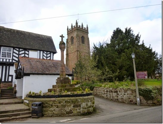
Tower of All Saints Church, Claverley, and the churchyard cross. And a litter bin.

P1000875

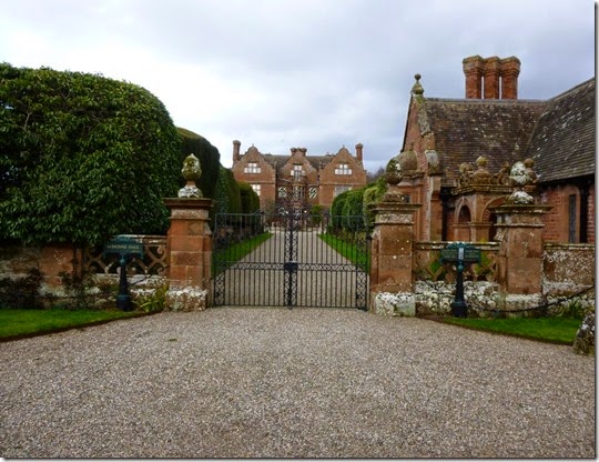
Ludstone Hall, a couple of miles north of Claverley

Signs of the area’s industrial past became evident as we approached the outskirts of Wolverhampton:

P1000878

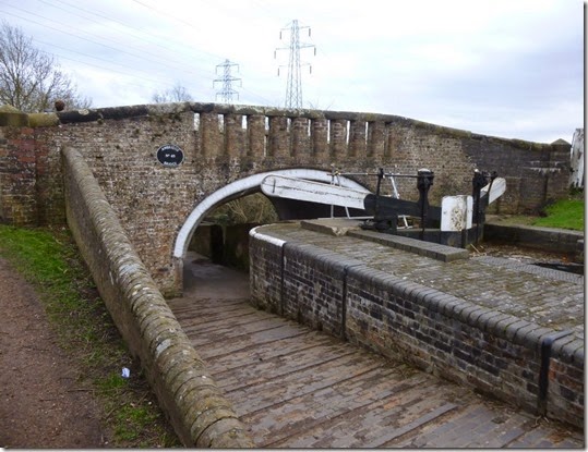
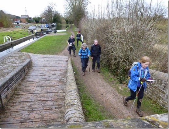
Awbridge Bridge on the Staffordshire and Worcestershire Canal

P1000879Judi leading the way 

P1000881

P1000884

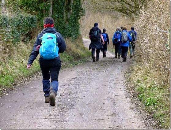
Annabel leading from the rear

Aaron continued to drag us along way. Some of it was incredibly muddy whilst other bits were just muddy. Some bits (not many) weren’t muddy at all, these were generally the tarmac bits.

High Energy Flapjacks

Another lunch stop, I can’t remember exactly where, but it was memorable in that we were treated to some High Energy Flapjacks. Annabel had been busy baking. These flapjacks were wonderful. I’ll publish the recipe, probably after this posting. They’re not just delicious, they’re a serious source of high octane energy.

Minds were concentrated as the light faded. It pays to watch where you put your feet – when you’re getting tired AND it’s dark it’s very easy to slip, trip, fall into a man-eating fetid swamp or whatever.

I really wanted to see the red sandstone Kinver Edge in the light, but it wasn’t to be. Kinver Edge is the site of an ancient hill fort. Not so ancient are the Holy Austin Rock Houses, which were inhabited until the 1950s. These rock houses are actually built into the side of the Edge. Night navigation onto the Edge wasn’t easy, unkempt woodland concealed the footpaths and it took ages to find our way onto the Edge.

It was around this point that the SatMap actually started to perform. Admittedly it had been switched on for ages and so had already computed our position. The woodlands paths over Kinver Edge and Arley Wood were very muddy indeed and trying to navigate in the dark whilst attempting to stay upright was proving difficult. With the aid of the SatMap we managed to stay on track through the woods. So y’see, the SatMAp Active 10 CAN perform, it just doesn’t do it consistently.

Entering Shatterford I’d twigged that Judi had been quiet. Not that she’s a chatterbox or anything, she was just very quiet. I put it down to tiredness. I was wrong…..I’m a man thing, it’s what we do. All the time. This fact is constantly pointed out to me, so it MUST be right. Mustn’t it?

Judi was feeling quite unwell and really needed to bale out. At around the 41 mile mark we managed to order a taxi for Judi and she was whisked back to CarpetBaggers Control back in Kidderminster. This was exactly the right thing to do.

The last big woodland of the day, well it was around midnight by this time, was Eymore Wood. The route through the wood generally followed the signposted Worcestershire Way this really helped route-finding in the dark.

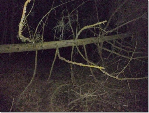
The poor weather had brought down some trees in the wood, there was no walking round these obstacles – the only options was to climb over…or scrat around and try to crawl under. Not easy when you’re knackered.

P1000890

One of Eymore Wood’s fallen trees. 

At around 1am a break was called in the wonderfully named village of Catchems End. Heaven only knows what the residents would have thought if they’d looked out of their bedroom windows to see a bunch over-tired, ragged bunch of walkers littering there garden walls at that time of night morning!

We were thankfully back on tarmac once again (I never thought I’d welcome the appearance of a road!) all the way to the eastern bank of the River Severn. A bit of Severn Way followed by some quiet country lanes took us back to our cars, parked just where we’d left them at Birchen Coppice, by the A451. Badges and certificates were dished out, there was much shaking of hands, hugs, patting of backs and so on – the sort of stuff that we stiff upper-lipped Brits do so well. Ahem.

It was now 2am and the pubs were shut. to be honest I was far too tired to go for a pint – or even eat properly. I managed a hot shower and forced some food down, and then promptly fell asleep.

Aaron had put on a good walk. Although it was a published route it can’t have been easy leading a group of unknowns over an unfamiliar route, especially considering that he’d had no opportunity for a pre-walk recce….so thanks Aaron! 
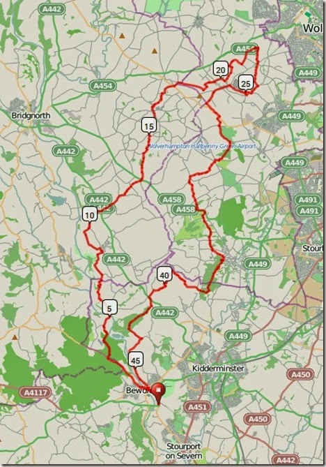
This is where we went:

Route 

50 miles with around 3300’ of ascent in 20 hours.

More photos here.

Wednesday 20 August 2014

19th August 2014, Trying to get fit

The Original Plan (Plan A) was to go out for an evening trot with the Cheshire Hash House Harriers but other stuff came up that meant I had to give the Hash a miss.

Plan B was dreamt up instead:

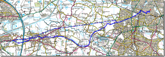
I’ve done this route before – it’s basically from Timperley to the outskirts of Warrington. The outward leg is along the The Transpennine Trail, whilst the return leg is along the Bridgewater Canal towpath obstacle course….a section of the towpath is being improved, something to do with SusTrans I think.

The Plan was to jog 5 minutes / walk 5 minutes, then as I got a bit tired, the walking bit would be extended to 10 minutes….and by the time I’d hit around 13/14 miles I would extend the walking bits to 15 minutes. In my defence, M’Lud, the walking bits were very strenuous – I walked as fast as I could.

The straight bits are along the TransPennine Trail:

image

So….18 miles with about 300ft of upness: 3hrs 41mins. And tired legs. Must try harder.

Little outings like this are good for the head, I’ll be doing them more often.

Saturday 9 August 2014

1st August 2014, SatMap GPS review.


 SatMap Active 10

imageFrom the current SatMap website
Up until recently I’ve used an old Garmin GPS for confirming my location. It was simple, had no frills and worked absolutely fine. Newer types of GPS are just so much more powerful and provide all manner of bells & whistles – often too many to make use of!
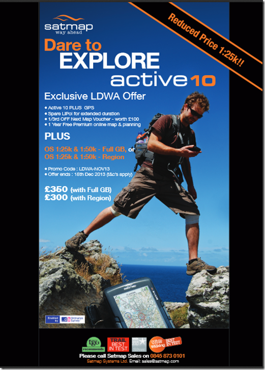
In December last year I was encouraged to take advantage of a special deal for members of the LDWA by SatMap, offering their SatMap Active 10, along with full UK mapping at 1:50k, 1:25k and 1:10k, all for £350. The deal included a two Lithium Ion rechargeable batteries, a set of Lithium (non-rechargeable) cells, and a voucher offering a substantial discount off Ordnance Survey mapping.
£350 is a lot of money – but when compared to the competition this appeared to be a good deal. One attraction of the SatMap was the large LCD screen – a relatively large area could be displayed on the screen.
imageThe LDWA SatMap offer: I was expecting all to be hunky-dory.
The SatMap Active 10 arrived very well packaged and it really looked the business. To say I was excited was an understatement! Other than a ‘Quick Start’ type leaflet, no other documentation was provided – not even on CD. I downloaded the manual off the internet and printed it off the 90 odd pages.
Mapping is supplied on two SD cards, one covering the entire South of the UK, t’other was the North.
The advertised spec of this device is seriously impressive: a sensitive receiver, good battery life, easy to use, large colour LCD display, excellent map coverage, etc. I was itching to get out with my new toy and try it in the real outdoors.
I’m still awaiting hunky-dory. Read on:

Issue No1: Failure after 3 hours

Timperley appeared on the South card and before long I was playing outside and having great fun tracking my short walks around the garden….until the display failed. This failure occurred after about 3 hours of use. Failures happen and although I was very disappointed I was quite philosophical about it. I phoned SatMap the following morning and they very promptly sent me a returns label to get the GPS back to them. A couple of days later a brand new GPS arrived and I was a happy bunny once again.
All things considered I felt that SatMap had provided a good service: my unit had failed and after returning it to them they had replaced it promptly and without fuss.
A couple of weeks later I went off to the Lake District for a day’s walking and took the SatMap with me – putting the ‘North’ SD card card in before leaving home. Of course I took my paper map with me – I would NEVER go out without map and compass….apart from anything else their batteries never run out!

Issue No2: SD Card Mapping faulty

I parked the car in Kentmere and headed out to walk the Kentmere Round. I switched on the SatMap to record my route and waited for the maps to appear. Then I waited a bit more. Nothing happened. I messed about but couldn’t bring the maps up, whatever I did. This wasn’t surprising – the ‘North’ SD card was anything but. In fact it was another ‘South’ card.
Another call to SatMap. They asked me to return the SD card and they would re-programme it for me. I did this and within a few days I had the re-programmed card. All was well once again.
SatMap programme the SD cards themselves under licence from OS – they’d programmed  / labelled the card incorrectly. Poor Quality Control, that sort of thing shouldn’t happen – certainly not when you pay this sort of money.
Timperley is very close to the northern boundary of the ‘South’ SD card – and a lot of my walking is in the Peak District and Pennines. Because of the position of the boundary I found I was having to swap SD cards in the field, not a good thing to have to do in poor weather…..or good weather for that matter, it’s VERY easy to drop a tiny SD card and to lose it in the undergrowth. So….

Issue No3: Unusable Discount Voucher


SatMap advertise a ‘Central’ UK SD card, again with 1:50k, 1:25k and 1:10k mapping. The coverage of this card would be ideal for me. It covered (from memory) almost as far as the Scottish border to the north, and almost as far south as South Wales. This would dramatically reduce the faffing about with swapping cards whilst out on walks.
I decided to take advantage of the discount voucher from SatMap to buy the Central card. I called SatMap, my discount voucher in hand, but was told that the voucher couldn’t be used to buy that map. WHY?? No sensible answer was forthcoming.
Why on earth offer a discount and then refuse to honour it? I was seriously not impressed.
To their credit, SatMap offered to reprogramme the ‘North’ SD card so that it’s southern boundary was level with the southern border of the Peak District. SatMap told me that there was sufficient space on the SD card to do this, – this made the situation better but not as good as I would have liked. This reprogramming was done at no extra charge. This was okay but not really what I wanted.

Issue No4: Poor battery life and other battery problems


The SatMap 10 is a powerful bit of kit – and the processing power gave the batteries quite a hammering, The 16 – 24 hours of battery life advertised was never achieved, anything from 6 – 14 hours was nearer the mark. Not really good enough.
A couple of other problems in the battery & charging department, really down to poor design:
1) The battery is charged via a USB connector. When the charger is connected it turns on the SatMap. However, disconnecting the charger from the SatMap DOESN’T switch it off. On more than a couple of occasions I’ve charged the battery the day before a walk and discovered the next morning that the batteries are flat. I’d disconnected the charger, forgotten the unit was switched on (after all, I’d not switched it on, the charger had!) and after a night sitting on the kitchen table the batteries were once again flat.
2) The battery connector used really isn’t man enough for the job. It’s the type of connector used for inter-PCB connections, designed for a very limited number of connection / disconnection cycles. This is a weak point in the hardware design and the connector WILL fail if used beyond it’s design limit – I’m guessing at 50 cycles max.

Issue No5: VERY slow acquiring satellites and computing position


Speed…or lack of speed. My SatMap is very slow in acquiring satellite signals and computing position. It can take up to 25minutes to discover where you are unless the GPS has an absolutely unobstructed view of the sky and is kept stationary.
My Garmin Etrex20 on the other hand is very quick. Today I did a side-by-side test in my back garden: SatMap vs Garmin. The Garmin won, hands down.
Results:
SatMap 10 Plus: 18mins 21secs
Garmin Etrex 20: 1min 14 secs

Issue 6: Insensitive receiver


…and this could well be related to the previous problem. The sensitivity of MY SatMap when compared to other identical devices is clearly well down. On a walk with Alan R earlier this year, Alan’s Satmap took not much more than 3 minutes to compute position. Mine took 14 minutes.
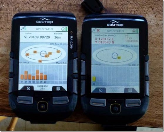
I borrowed a SatMap 10 Plus from a friend to do some more controlled comparisons. The results more or less confirmed that my SatMap device (the one on the right) was a poor performer:

SatMap
This initial test was carried out with both receivers on my kitchen table adjacent to a window, not an ideal position to check a satellite receiver’s performance. The photograph above was taken exactly 4 minutes after both devices were switched on together.
The GPS on the left had received data from 7 satellites and had computed it’s position.
The GPS on the right (mine) had detected only one satellite in that time. It took a further 12 minutes (total 16 minutes) for it to compute it’s position, and that was only receiving 5 satellites.
Similar differences in performance were obtained when the same test was carried out in my back garden with an unobstructed view of the sky.
SatMap explained that this difference in performance could be down to the SD card maps – cards with more data slow the device down. My SD cards had 1:10k, 1:25k and 1:50k OS maps for the South of UK, the other device had 1:50k OS for all of UK. I swapped the cards and although there was an improvement in the performance of my SatMap device it wasn’t overly significant.
In May this year I headed off to Scotland for pre-TGO Challenge trip and the actual TGO Challenge itself. I travelled around Glasgow, Fort William, Oban, the Isle of Mull, Kyle of Lochalsh, Plockton, and then to my Challenge start point of Torridon.
I’ve mentioned before that I ALWAYS carry paper maps and a compass, a good job too. 

Issue 7: Map tiles missing from SD Card


Out for a bit of a walk around Oban, I switched my SatMap on. I really couldn’t believe that SD card (North) didn’t have Oban on it. I went inland 10 or so miles, same result. In fact there was a huge area of the west coast of Scotland where the 1:10k, 1:25k and 1:50k OS mapping was missing from the card – certainly up as far as Torridon.
Messages on the LDWA discussion forum show that this isn’t an unknown problem.
I contacted SatMap who apologised once again and promised to programme another card that would be thoroughly checked and sent out within a couple of days. As I was moving around and had little idea of where I was going to be from one day to the next, this wasn’t much use so I asked for the SD card to be sent to my home.
A member of their mapping team confirmed that the new SD card had been prepared and ‘thoroughly tested’ a few days later.
Bear in mind that this was the first week of May.
Last week (the first week of August) the card still hadn’t arrived. To be fair to SatMap, I hadn’t chased them – although I really would have expected them to have sent it when they said they would.
I chased them and it was quite clear that a new card hadn’t been prepared when they said it had – they asked me to return the faulty SD card so they could re-programme it.
Two days ago the repaired card arrived – and it seems to be fine. It would take an age to check the coverage is as it should be, it’s a matter of scrolling through the entire area from the north of Scotland down to the Peak District using 1:10k, 1:25k and 1:50k OS. This is simply not practical so I have to trust that SatMap have done the job properly this time.
Other problems I’ve had are relatively minor, but annoying: the LCD screen lacks clarity and is difficult to view in bright sunlight, the manual is poor, I found that the device isn’t particularly intuitive to use – it’s quite complex, the battery cover looks flimsy and likely to fail….
Whilst on this year’s TGO Challenge I spoke to two other SatMap owners – both are looking to sell them. That says a lot.
Another owner, a Challenger, isn’t overly happy with his SatMap. He finds it over-complex and finds it difficult to use. He uses a Garmin Etrex instead. 
On the other hand I know two very satisfied SatMap Active 10 owners.
Amazon have an interesting range of reviews here. It’s clear that a majority of owners are happy with their purchases but well over 30% report significant problems.

Conclusion

On paper the SatMap Active 10 Plus is a superb bit of kit, however the build quality, reliability and general performance are all poor. customer service was initially good although as time went on I felt it was poor.
Once it became clear that I wasn’t able to rely on the SatMap I put my hand in my pocket (again!) and bought the Garmin Etrex 20. If you check around t’interweb it’s possible to buy mapping at sensible prices – take a look at TalkyToaster for example.
The Garmin performs, is reliable and has excellent battery life. I’m afraid the SatMap Active 10 Plus simply isn’t a patch on the Garmin in these departments. I can’t comment on Garmin’s customer service, I haven’t had cause to contact them.
To counter it’s shortcomings the SatMap has a much larger display (and of course mine has 1:10k, 1:25k and 1:50k mapping) than the Etrex 20, and zooming and panning around the map display are both quicker and more responsive on the SatMap.
I feel I’ve made an expensive mistake in buying the SatMap Active 10 Plus – I wish I’d have bought the Etrex20 in the first place. Hindsight is a wonderful thing.

I would be very interested to receive comments on this review. So please, comment away!

Friday 8 August 2014

17th July 2014, Whore’s Hospital, Agden, near Lymm

On a canal towpath walk into Lymm from Timperley, the Long Suffering Rick pointed out an old building at SJ705873 he described as an Old Whore’s Hospital:
image
He might have said ‘Horse Hospital’ – but who ever heard of a hospital for horses?

Friday 1 August 2014

Friday 11th July 2014, LDWA Red Rose 100 recce, Day 6

Mellor Brook to Rivington….and the end!

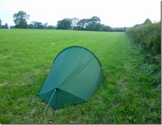
I was woken at 4am by a god-awful screechy, whining racket. Sticking my head out of the tent I saw the source of the racket - a pussy cat. Probably lovelorn, poor bugger.
It was so warm overnight that I slept virtually out of my sleeping bag and with the tent door open. Everything was wet from the dew when I got up.
P1020243
I was packed and on my way by 5.30am – just as Mellor Brook was stirring. The first part of the route was on tarmac so at least I didn’t have to suffer wet grass. Not for a few minutes anyway.  
Unfortunately it wasn’t too long before I was wallowing across dew-laden grass and my feet were once again sodden.
P1020244 Long and wet grass. And an almost concealed wall stile.
This was to be the hottest day of the entire expedition – and consequently the hardest. I don’t do heat very well and frequent stops plus loads of water were the order of the day.
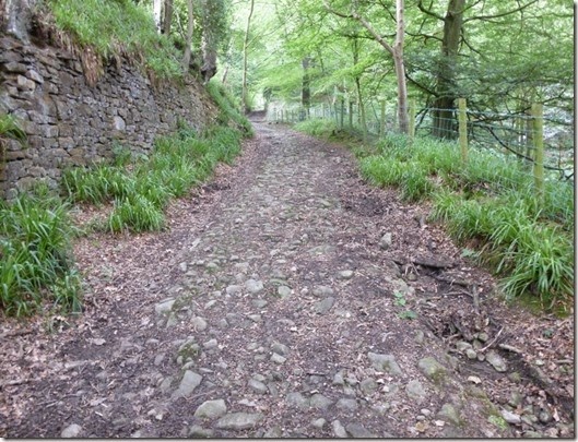
The better news was that the ground improved as the day progressed, there were some nice dry tracks and quiet lanes.
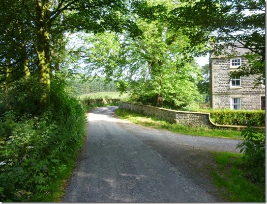
P1020245
P1020246
Hoghton Bottoms 
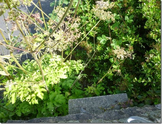
P1020247
Close to Hoghton Bottoms – anybody got a clue what this is?
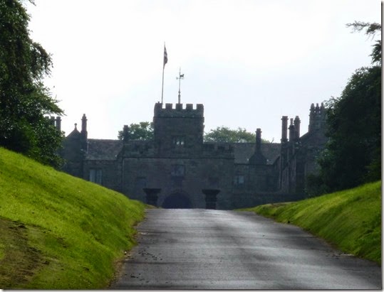
I was pleased to see that Hoghton Tower was on the route – in the 1960s I spent some short breaks in Hoghton, staying with an Aunt & Uncle. They were very happy times.
 P1020250 Hoghton Tower
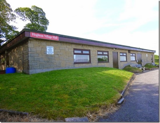
The first major objective of the day was the next checkpoint on the route:
P1020252 Hoghton Village Hall, Checkpoint 13 at 89 miles into the route

Blocked Footpath Warning:

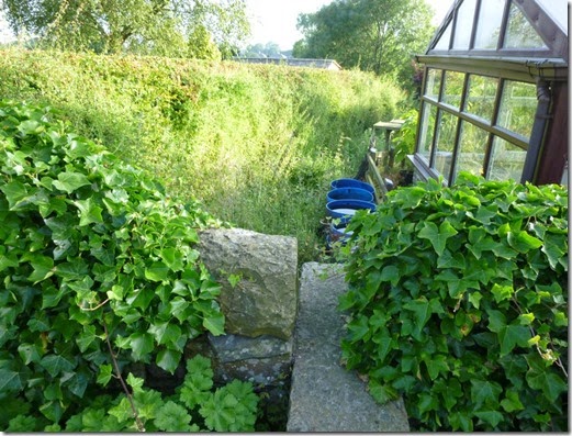
The first navigational challenge of the day came whilst trying to get onto the Leeds & Liverpool Canal towpath, just to the south of Riley Green. It was easy enough to get onto the towpath from the road, but there’s a Right of Way goes through a garden at SD624251. There isn’t a signpost so it looks like walking through a garden is all a bit wrong. An added complication is an almost completely concealed set of steps in the garden wall – the house-owner clearly doesn’t want anyone using the path.
It’s quite easy to get on to the towpath by using an ever-so slightly different route: crossing the road and walking the ‘wrong’ way up the canal for a short distance. This is all very well, but there’s a Public Right of Way that’s been effectively concealed AND virtually blocked….and that’s just wrong. I feel a letter coming on….
P1020259 The very narrow and almost completely concealed steps in the garden wall.
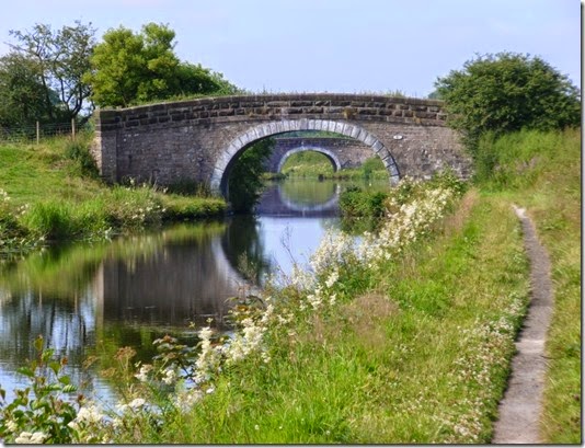
The heat got hotter as the morning wore on and I was taking advantage of any shade I could find, the canal bridges proved to be invaluable for this purpose:
P1020262
For what seemed the first time in ages I heard the sound of noisy traffic, the canal was crossed by the M65 motorway and it was very busy.
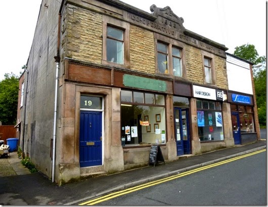
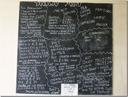
Leaving the canal close to Ollerton Fold I was soon back on tarmac, there was very little traffic though. Officially my next objective was Checkpoint 14 at Brinscall….but my stomach had other ideas. I diverted from the route by going through Withnell where there’s the most wonderful Woodlands Cafe in the old Co-op building:
P1020401 It might not look much from the outside but to a tired and hungry backpacker it was an absolute lifesaver!
P1020402
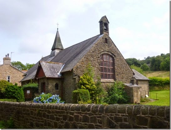
Two mugs of tea and an enormous breakfast later, I headed back to the route and St Lukes Church Hall at Brinscall, venue for the checkpoint. My diversion only added a couple of hundred metres onto my route but I really needed a good sit down and a substantial feed – I got both.
P1020404 Checkpoint 14, 94 miles – St Lukes @ Brinscall
The route out of Brinscall is straightforward enough but be aware that it’s easy to go wrong SD624210:
P1020408 DON’T go straight on here, but turn LEFT…..
P1020410
…..to pick up this lovely path
The rest of the route is very straightforward and is on really excellent surfaces:
P1020411 Just what you need after 95 miles of walking: good tracks and easy navigation
Anyone who’s done the Anglezarke Amble will recognise much of this last section:
P1020412  White Coppice….NOT a checkpoint!
P1020415
P1020418
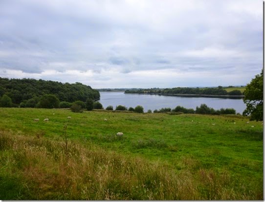
Anglezarke Reservoir
P1020425
P1020426
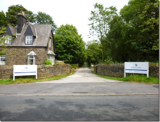
After leaving the reservoirs there was a bit of tarmac (no mud!) to the Start / Finish at The Anderton Centre. It was closed when I got there so you’ll have to make do with this photograph of the entrance:
P1020427 The Event HQ, The End, The 100 mile point, whatever. If you made it this far- Well Done!
The route description gives the distance of the section from Checkpoint 14 to the end as being 6 miles, I made it 7 miles, even allowing for the bits where I went off route. I measured the distance with a Garmin Etrex20 set to GPS + GLONASS = max sensitivity and accuracy. When I get the time I’ll go through the mileages on the route description and the distances measured on my GPS.

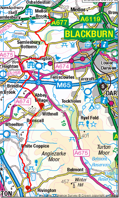
The day’s route, 16.5 miles:

imageAt the end of all of that walking I drove home, had a few beers, showered, then treated myself to a takeaway….I really couldn’t be mithered cooking!

Conclusion

I always struggle when navigating through field footpaths and this route wasn’t without it’s challenges. These problems were mainly apparent in some sections between Slaidburn and Chipping, and bits towards Mellor Brook. There are a few obstruction problems that I’ve reported to Lancashire County Council…but I’m not holding my breath!
The terrain is generally very good although I’m sure there’ll be more than a bit of mud after heavy rainfall. Whilst that may be the case I really wouldn’t expect any significant problems, there’s loads of really well surfaced tracks.
I struggled with overgrown undergrowth – hardly surprising in the height of summer! At the end of May 2015 I don’t think that will be a problem at all.
The profile of the route (up and downery) isn’t a problem. It’s not a flat route by any means but the lumpy bits are all highly do-able.
I’d like to clarify that I didn’t always follow the route exactly. This was for various reasons, such as needing to find somewhere to put my tent, needing to buy food etc. Interestingly some of the route sections I did follow exactly sometimes differed in distance when comparing the route description to my GPS-measured distance.
I think it’s a brilliant route, I thoroughly enjoyed backpacking it. I feel it’s so good that it deserves to be recognised by Lancashire County Council and promoted as a Long Distance Path. There are a few bits that need tweaking – that’s already receiving attention from the route planners. When the tweaks are sorted it will transform the route from Brilliant to Absolutely  Marvellous!
All you need to do now is to pray to Freyr for a decent May 2015….get praying!

Tally-Ho! Whitworth Wander / Turkey Trot 2023

  Whitworth Wander – Turkey Trot, 27 th of a very wet December 2023 In memory of the late Brian Whitworth, a fine man, my friend, and a for...