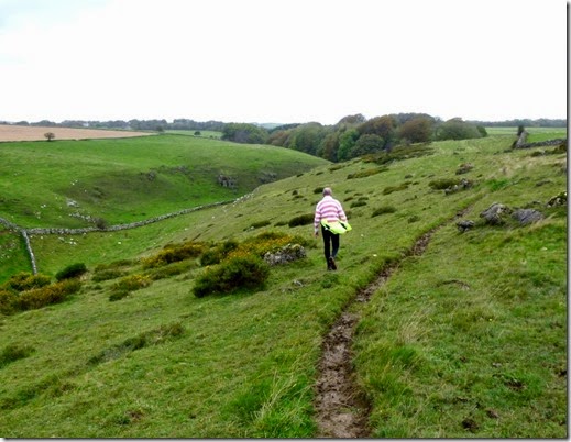
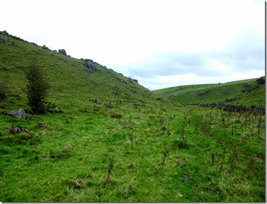
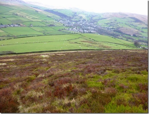
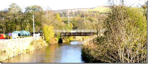
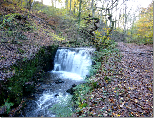
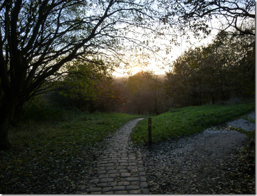
View from Oban Bothy

View from Oban Bothy
Showing posts with label Tally-Ho. Show all posts

Sunday 16 November 2014

15th November, Tally-Ho! from Nangreaves, Route v4.2

The real thing..

A number of exploratory / recce trips to this area were needed in order to finalise this route, mainly due to the large number of illegally blocked Rights of Way (Right of Ways?), completely unmarked footpaths and generally difficult to navigate ground. An a lot of mud.

Anyroadup, this is what happened on the Big Day…

image 

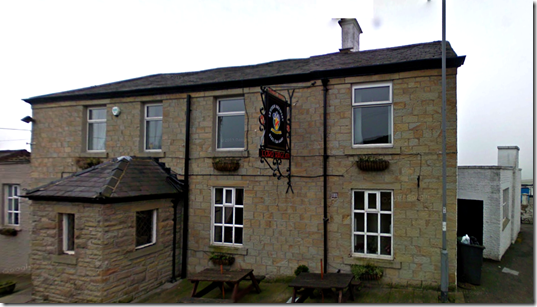
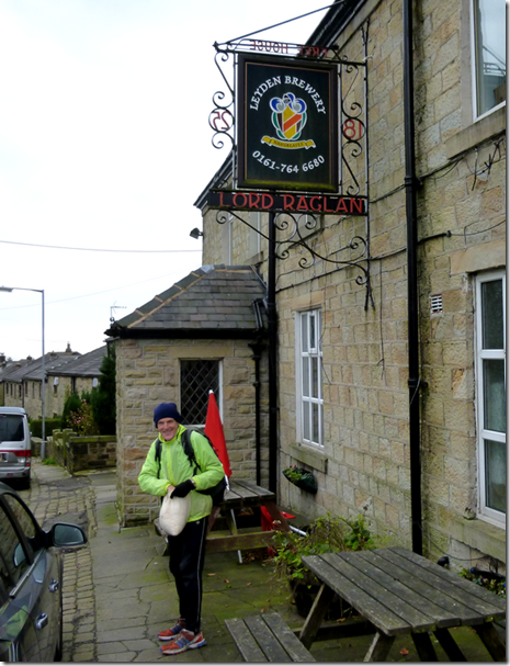
The Lord Raglan, Nangreaves

The choice of this pub as a venue for Tally-Ho! had absolutely nothing to do with The Leyden Brewery. Nothing at all.

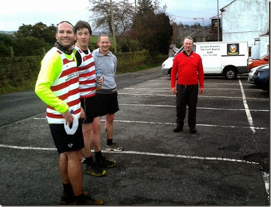
First to set off from The Lord Raglan at Nangreaves were Ding Dong and Whitworth. They had arranged to meet at the pub at 12.30, thus ensuring an early start. After a leisurely tour around the lanes of South Lancashire, Ding-Dong arrived promptly at 1.30pm thus ensuring a not terribly early start.

Rumours of a collection in the pub to raise dosh to buy Ding-Dong a map are completely false….I think they want to buy him a SatNav so his navigation prowess could match that of Whitworth’s…..and he NEVER gets lost. Well, not very often – especially now he has a new Merc with a built in SatNav.

Whitworth and Prez Park left the pub in a blur (well that’s what the drunk outside the pub said), heading north along a short strip of tarmac. The money men (Ding Dong and Mapless  Taylor) ran together – leaving a little later than normal.

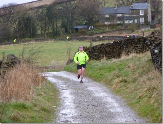
The dryness of the tarmac wasn’t to last long. Leaving the road, the extremely well-laid sawdust trail led our valiant heroes to a soggy path of a couple of hundred yards (around 183.44m). Damp grass drenched their running shoes comprehensively. Nice.

Other runners followed in their wake, all finding the extremely well-laid trail very easy to follow.

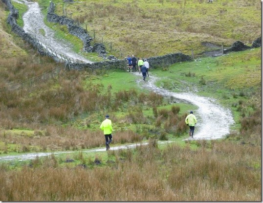
Whilst the hounds were enjoying (eh?) following the trail, the hares were taking great care to leave a clear sawdust & paper trail across some seriously rough and boggy ground.

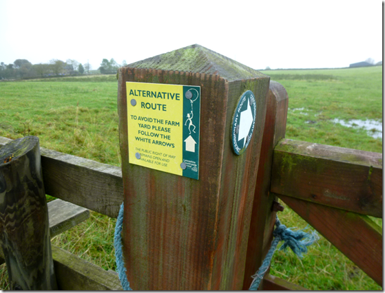
First obstacle of the day was the illegally blocked footpath at  Croston Close:
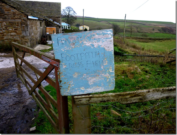
image A Concessionary Path is offered as an alternative route, but the path through the farmyard exists as a Public Right of Way – the landowner clearly has a different opinion.

Next came the first ‘river’ crossing of the day. In recent weeks the stream that is Cheesden Brook had been a mere 2 – 3ft wide (609.6– 914.4mm….approx), the recent heavy rain had swollen the watercourse quite considerably. This ensured that many pairs of Innovates were suddenly mud-free. For a minute.

An uphill pull to a track led the hounds to Ashworth Reservoir. Once through a heavy metal gate the trail ran alongside a Water Authority-built wall to pick up a minor road at the east side of the reservoir.

The Trail-Layers were on the return leg of the trail and were able to watch some of the hounds, on the outward leg, as they ran along that stretch of road. Fortunately they were too far away to be able to hear the runners cursing, swearing and plotting sweet revenge.

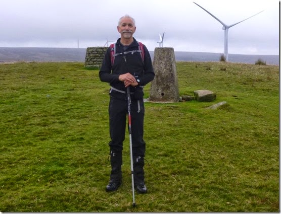
Once across Edenfield Road, Knowle Hill came into full view. Curses were heard to be uttered as it slowly dawned on the hounds that the trig-point at the top was to be their next objective. And so it was.

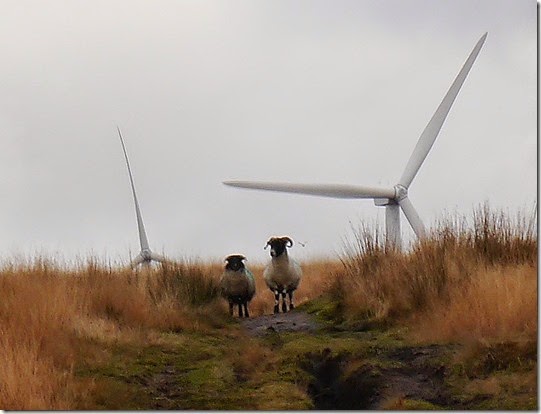
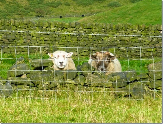
Mud, bog, streams, windmills and sheep were just some of the hazards to be encountered on this uphill stretch. The sheep seemed intrigued:
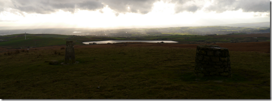
P1030145

image The view south from Knowle Hill

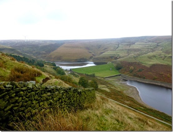
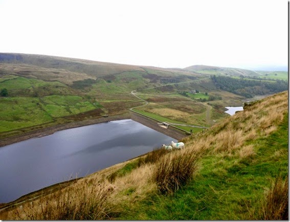
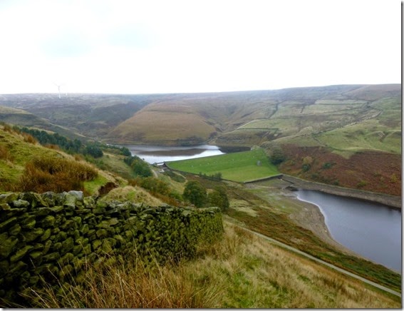
A clear path off the eastern flank of Knowle Hill led the runners along part of the Rochdale Way, (thank-you Wiki!) in the direction of the Naden Reservoirs. The reservoirs only became visible after climbing a stile at Dixon’s Brow. The change of scenery was quite a revelation – so far the views were mainly of moorland, bogs and mud. To see the land open out in such a dramatic way almost caused some to stop and stare for a few minutes. It was either that or they were knackered after Knowle Hill and they needed a breather.

P1030208aNaden Reservoirs 

Clumps of sawdust and the Rochdale Way made for easy navigation as the route swung south and then west(ish) on the return leg.

Another stream crossing and on through Knowl Farm:
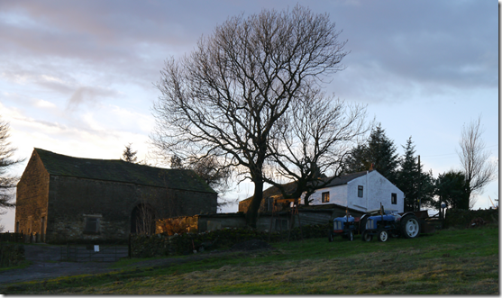
imageKnowle Farm, used for filming ‘Last Tango in Halifax’ 

Re-crossing Edenfield Road gave temporary relief from the mud and gunge, in fact there was a good 10-15 minutes of relatively clean running. Until a particularly muddy, sludgy stretch of track that led to a particularly muddy, sludgy river crossing. It wasn’t long before Ashworth Reservoir once again hove into view, this heralded some nice running along only slightly horrendously waterlogged ground.

The Right of Way runs through Yates Farm but there was so much rubbish and detritus on the ground that a diversion was needed. It looks like the place is used as a scrap yard, a real mess.

Much nicer running followed once passed the farm: good tracks and paths, a short stretch of tarmac, and then a really gloopy farm track.

An uphill pull to a ‘notch’ on the horizon indicated the last stretch of the trail, although it was only once through the notch that it became clear the running was almost done. A stile and a short stretch of tarmac had us back at the pub.

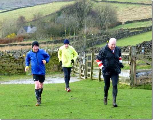
20141115_161112First runners in 

imageNext in, Paul and Les 

The trail seemed to have been generally well received – although the beer at the pub got a better reception. It was rather good – just a shame I was driving.

Numbers were a bit low today, only 14(?) members sat down to a filling dinner of stewy stuff and mushy peas followed by fruit crumble. ‘Always hungry’  Blackshaw was unable to stay for dinner due to family commitments, this left Murray in a bit of a quandary regarding his pudding. He needn’t have worried though, help was at hand and his pudding vanished in the blink of an eye.

Layers of trail were Blackshaw and Jocys who had a thoroughly good day out – and even managed to beat all the hounds back to the pub.

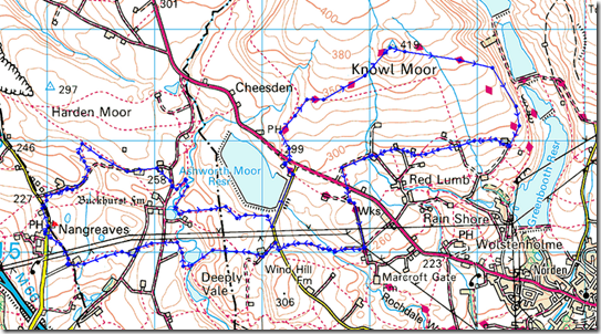
This is where we went:

image

Around 9 miles with about 1200’ ascent

That’s according to Memory Map and my Garmin Etrex20. I felt I could do with a good laugh so I took my SatMap Active10 along too. According to that heap of junk we covered 16.75 miles.

Impressed, eh?
Monday 3 November 2014

18th October, Tally-Ho! from The Jug and Glass

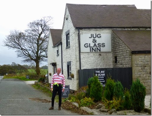
This was a re-introduced venue for the Club. The Jug & Glass at Newhaven in the White Peak has a had a chequered history in recent years. It seems to have been closed more than open. Happily it’s now very much open and in the hands of good people who know how to run a pub, keep beer properly and look after their customers.

I arrived early at the pub, my Plan was to start and finish early because I needed to be in Dunham later that day to play at a ceilidh with Neezzup and it wouldn’t do to be late for that!

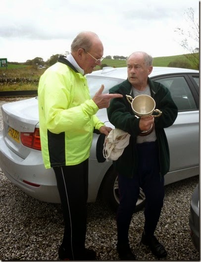
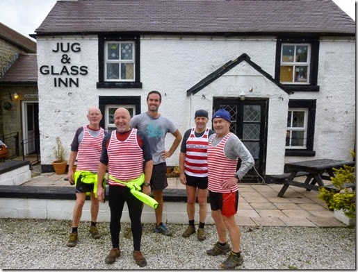
In the car park were two very shady-looking characters – one trying to flog some obviously nicked silverware to a local fence:

P1030216

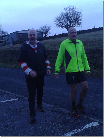
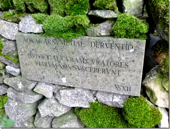
I set off running with Ding Dong, struggling to keep up with him. We followed the sawdust trail out of the pub car park and across the main A515 to pick up a green lane which turned to tarmac after a mile or so. The lane crossed the course of a Roman Road running roughly North to South.

image Remarkably well preserved Roman Water Board sign

We headed eastwards almost as far as Middleton, keeping our shoes mostly shiny-clean. Avoiding Middleton, trail then led us on a dogleg uphill (?) close to Ringham Low – an ancient monument or something. Wisely the trail-layers didn’t take us quite as far as the site, our ancient and monumental runners might get lost in a place like that…..we’d blend in with the background too easily.

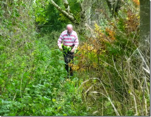
The initially easy running surface had lulled us into a false sense of security, before long we had dual battles on our hands: overgrown undergrowth (eh?) and difficult-to-follow sawdust trail…...but we weren’t to be deterred. Well not much:

P1030219  Ding-Dong tearing up the trail at break-neck speed

Next came a short dale, a section of typically White Peak countryside. I’m not sure of it’s name, there’s no name mentioned on either the 1:25k or 1:50k maps, but it runs West - East from near Ringham Low to Smerrill Grange.

A much nicer dale was to come: Long Dale – lovely it is:

P1030222P1030223It’s a shame this section was so short, it made for very pleasant running. Within a short distance the terrain changed and we left the dale behind.

P1030224  

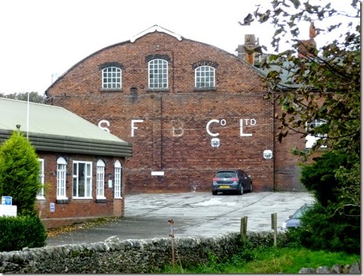
Another short stretch of tarmac took us to the Mid-Shires Way / Pennine Bridleway…and past the picturesque brickworks at Friden:

P1030225 

Lovely

There was definitely ‘something in the air’ around this part of the route, both Ding-Dong and I ended up coughing and spluttering. It might just have been a misfire though…I don’t recall any of the other runners mentioning a problem.

A loooong, flat and straight stretch of the Way took us almost back to the pub where a quick pose (or two) was called for:

P1030226 

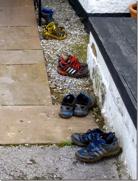
P1030228P1030229 Unusually (VERY unsually) clean-ish shoes

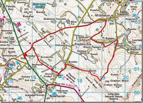
This is where we wented:

Route

Around 8.3 miles with norralot of ascent / descent…

Atcherly (and quite coincidently, I’m sure) the total ascent was exactly the same as the total descent. You’ll need to ask Ding Dong to explain, he’s good with numbers.

The food and the beer at the pub were both excellent – it was just a shame I had to rush off without being able to sample the beers properly. I was driving anyway. Ho-hum.

Thanks to David for allowing me to trot round with him. As always, he was the very best of company.

Thanks and great appreciation to Ships and Whitworth for laying an easy trail….just right for an unfit old fart like me.

16th October, A Nangreaves Recce

Rick and I needed to get out for a walk – it’s been, er, such along time since our last outing.

I had a route in mind for the Tally-Ho! that really needed checking out. It’s all very well plotting a route on the map, but it’s often a different matter when you actually run (or walk) the route.

Kick off is the Lord Raglan, home of the Leyden Brewery, in Nangreaves near Bury – where all the best black puddings come from. That’s Bury….although the Leyden Brewery might make black puddings too, I don’t know.

A short bit of tarmac up Snape Hill was endured before hitting decent footpaths and Land Rover Tracks. All went swimmingly well until we came across a ‘Private’ sign, barring our way through the Public RoW through the farm yard at Croston Close – SD820158 if you want to harass the property owner.  An additional sign offered an alternative route – a concessionary path across a boggy field. The sign pointed out that the original Right of Way was still valid – but it was quite clear that the owner’s successful deterrents had , er, successfully deterred walkers wishing to use the path.

The appropriate authorities have been informed.


image

The next ‘challenge’ was Croston Close Bottoms. This is a valley where, if the map is anything to go by, is an easy navigational exercise. Ho-ho, oh no it isn’t! We spent a long time trying to locate the path on the ground – we did eventually but it was damned hard work. And my feet got rather wet.

Around Ashworth Moor Reservoir following footpaths across what was Water Board land we crossed the Edenfield Road and began a gentle climb up to Knowl Hill – passing the thoughtfully planted windfarm en-route. The wim-wam trig point / pile of rocks at the top served as our lunch stop.


P1030205bRick posing, apres-lunch, in front of the pretty windfarm 

Following the route of the Rochdale Way, we descended in an Easterly direction (East is good….etc, etc) towards some reservoirs – where a pretty view was prettily presented to us:

P1030206a

Naden Middle Reservoir with Naden Lower Reservoir peeking out on the right (=south) 

P1030208aNaden Higher and Naden Middle Reservoirs 

It’s pretty obvious that land owners don’t want you around here: barbed wire is abundant in totally inappropriate places, many paths are blocked and footpath signs just don’t exist where they really should. It’s a poor show.

P1030209b 

Just for Alan:

image

image

image

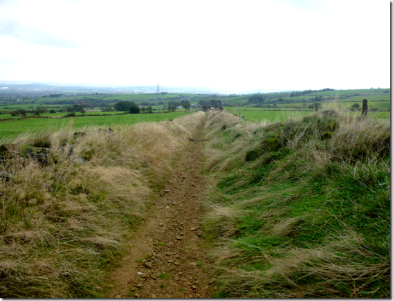
Some of paths were dead easy to locate and follow, although the stony surface of this one may well catch out the faster runners:

image

More blocked and unmarked paths followed that entailed some serious map studying – much to the amusement of the audience that was gathering. Even sheep deserve a giggle sometime I suppose:

P1030215aAnother Right of Way difficulty presented itself at Sale’s Farm (SD818150 if you want a whinge). A Right of Way is clearly marked on both the 1:50K and the 1:25K maps – but not on the ground. There’s no footpath sign or any indication at all that a Right of Way exists. It DOES exist, and goes through a private house-type farm yard & stables. The addition of an openable (not sure if that’s a real word, but you catch my drift) electric fence gateway adds to the feeling of general path obstruction / lack of Right of Way.

Again, the appropriate authorities have been informed…..but don’t hold your breath.

Whatever, in a couple of weeks 20 – 30 hairy-arsed trail runners will be piling down that Public Right of Way – and there’s some big lads amongst them.

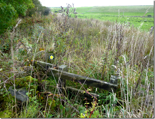
More blocked / overgrown footpaths followed:

image Can you spot the Footpath sign?
We eventually got back to the Lord Raglan at too late an hour to have a pint so we headed off back home – just in time to miss the worst of the rush-hour traffic. What we were expecting to take around under 4 hours actually took nearly 6 hours. I’ll be out on a re-recce next week, apart from needing to tweek the route I need the exercise.

At the end of the day we’d enjoyed (endured?) our little outing, there are some really cracking bits to the route – unfortunately there’s really crappy bits too.

This is what we SHOULD have done:

image


8.5 miles with around 1200’ of ascent.

We ended up doing nearer 11 miles after all the faffing about.


Reporting footpath problems

Footpath problems can be reported using FixMyStreet at www.fixmystreet.com

It’s very simple, just specify the location and describe the problem…..and your work as a responsible member of the great walking public is done.

FixMyStreet will then forward your complaint to the appropriate authority who will (hopefully) deal with it.

Thursday 27 March 2014

Saturday 22nd March 2014, A Hayfield Hobble

Tally-Ho!

Around 20 runners gathered at the Lantern Pike Inn in Little Hayfield on the western side of the Peak District on Saturday afternoon for a couple of hours of running. Their plan was to follow a trail of clumps of sawdust that had been carefully placed around an imaginative 8 mile running route that encompassed hills, cow fields and other cow things.

There was weather on Saturday, lots of weather. Especially around Little Hayfield. Some of this weather was wet, some of it was windy – some was even white and fluffy. All of it was cold.
Packs of runners set out from the pub at times suited to their running speed. Although the club calendar features a couple of races throughout the season it is not a competitive club and one-upmanship is discouraged.

The sawdust trail plunged down to a stream which ensured we all got wet feet within a minute of setting out. Oh well. We boys like playing in water.

5 minutes after setting out from the pub the wind strengthened and it started to rain. On a positive point, rain is good for washing mud off your otherwise pristine legs. But it was also cold. It didn’t rain ALL afternoon. Not quite.

When it wasn’t raining there were some good views:
P1010034

The trail followed lots of up and downery, south across Birch Vale, up t’other side (just for the hell of it) then, this time heading north, back down to Thornsett. Through mud. Good job we boys like playing with mud.

P1010025

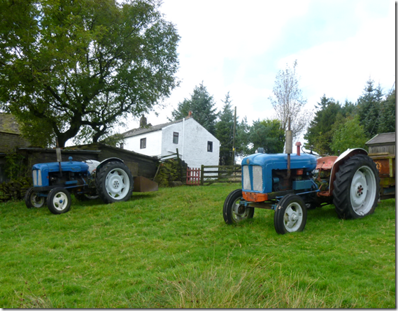
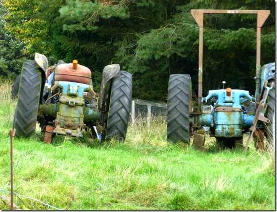
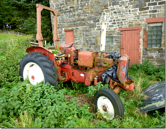
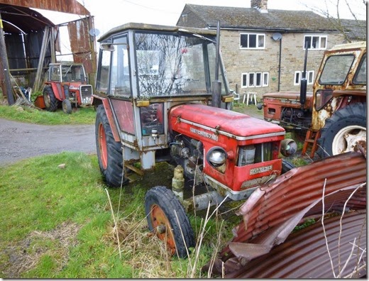
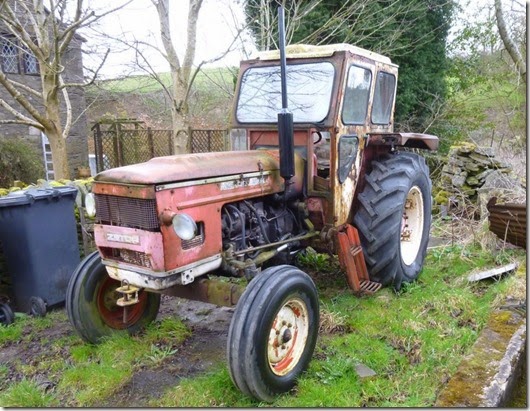
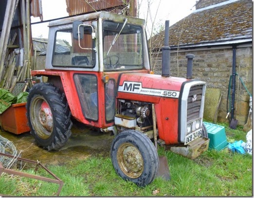
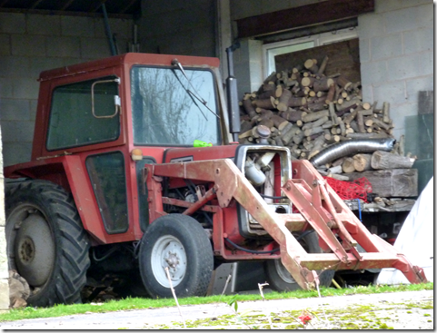
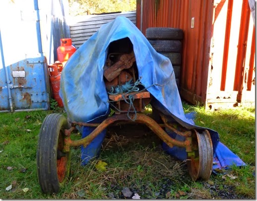
Then there were tractors, loads of the buggers. Alan should have been there really:
P1010026P1010027P1010028


I was hoping to catch the pack of runners that had set out before me but they were on form and their 50 minute advantage was too much for me to make up. On the other hand, the faster boys who had set out after me took well over an hour to catch me up. And then overtake me. Nowt new there then.

P1010035 Billy

Here they come:
P1010039
Eastwood, Blackshaw and Wells, all looking remarkably unmuddy. It wasn’t to last.

There they go:
P1010040
P1010043 Hon Prez Park looking worryingly cheerful. And mud free.

Lantern Pike was the last substantial climb of the day, at around 1000ft ASL it offered pleasant views over Hayfield:
P1010042

It pays to be one of the earlier finishers of a Tally-Ho! trail run, later finishers end up bathing in less than clean water:
P1010045 

It had been a cracking afternoon out in excellent company. The good food at the pub was the icing on the cake. Although there was no cake. Or icing.

This was the last proper trail of a good season. Oh well. Anyway, this is where we went:
Lantern Pike Route March 2014 

8 miles which took me 2hrs 5mins of gentle trottery. And I didn’t lose trail once.

Sunday 29 December 2013

Saturday 16th November 2013, Running around Ramsbottom

Twenty two members of The Cheshire Tally-Ho! Hare & Hounds Club and one invited guest runner gathered at the Lord Raglan, an establishment well-known for it's excellent Leyden Brewery. It was, of course, pure coincidence the Club had chosen this fine pub as a venue to run from.
image
The trail-layers shall remain nameless for fear of potential litigation, but both Blackshaw and Jocys had set off from the pub at 11am, armed with bags of sawdust, just for the hell of it.
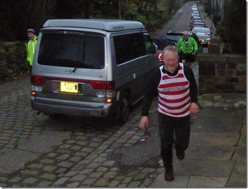
image Fast Blackshaw, one of the nameless trail-layers
The traditional trail length of 8 miles wasn't quite adhered to, although the additional 1.7 miles didn't seem to cause THAT much of a problem to those fine members of the club who take their fitness very seriously. Both of them.
And anyway, 9.7 miles is the new 8 miles.
It should be pointed out that the original route was around 11.5 miles, but fearing a lynching and possible excommunication, the nameless trail-layers (Blackshaw & Jocys) thought it prudent to shorten the route. Unfortunately this had the effect of adding around 3/4 mile of tarmac to an otherwise green(ish) trail. Tarmac does not go down well with the members of the Tally-Ho!
imageJust for Alan 
Anyroadup, the sawdust trail led north from the pub, over tarmac for around half a mile but then over more traditional boggy, slippery ground that the Club is more used to. Fallen leaves concealed a treacherously slimy surface that caused many a member to curse as they descended to the bottom of the Irwell Valley. Swearing was reported to have been heard.
The more alert members of the Club may have seen a steam locomotive running on the East Lancs Railway line that followed the valley bottom. Those that didn't really should pay more attention.
image The East Lancs Railway – I wasn’t quick enough with my camera to catch the steam loco
Once past the railway the route started to climb. The busy A676 marked the beginning of another short section of tarmac – and civilisation. The residents of Ramsbottom had been forewarned and so they weren't surprised to see groups of well-disciplined runners all adhering the the Club's pack system. Oh well, next time....maybe.
imageLancastrian Coos 
The route had so far been quiet, but crossing this busy road was more than a bit hairy. Unscathed, the runners sort of ran up a back street in Ramsbottom, religiously following the extremely well-laid trail. (Koff).
image
Then there were steps, loads of them. Up through a wood they went. Not as many steps as at trail from Sheldon, but steps. And steep 'uns at that. At the top of the steps Mark Taylor was seen to slow down, he had sensed the Shoulder of Mutton. Fortunately the rest of his pack dragged him past. Either that or he'd forgotten his money and nobody would stand him a pint.
image
The trail now went north along Moor Lane, a pleasant track that afforded excellent views over Ramsbottom and the eastern side of the Irwell Valley. Apart from that damned wind farm:
image
imageHacking on Holcombe Moor 
 
image
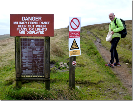
After 1.5 miles of gentle ascent the trail turned west for around 500 yds and suddenly the ascent wasn't gentle any more. Our heroic runners ran up onto Holcombe Moor, famous for soldiers waving red flags and shooting at each other. Fortunately this was the day that had to stay at home with their mums so it was safe. Well it was safe if you weren't John Wilson. He reckoned he'd tripped and fallen, resulting in cuts and bruises. That's what he told me, and why should I disbelieve him? He's a decent bloke after all. Isn't he?
The next couple of miles were without doubt the best of the route, the running was excellent and the views wonderful. It would have been very easy to trip up and fall flat on your face through not looking where you put your feet. If you weren't careful you could end up with a nasty cut on your face and multiple lacerations to your hands, sustained as you tried to arrest your tumble. It's just so easily done.
imagePilgrims Cross 
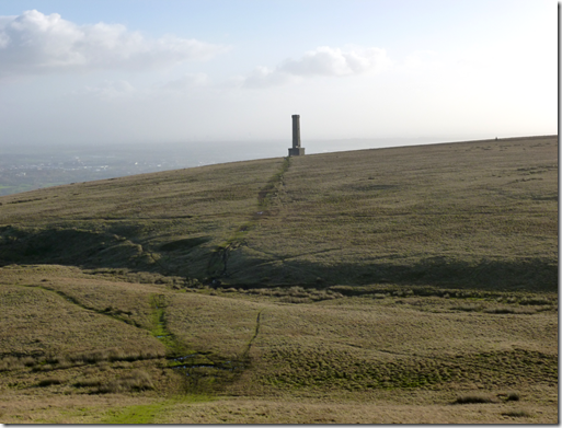
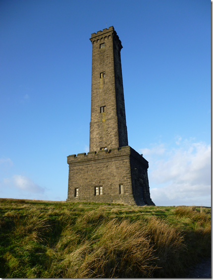
The trail turned south and followed good ground with not much mud or bog at all. It was in effect a ridge run, gently undulating and easy to trot along. The first point of interest was Pilgrim's Cross on White Hill, then over to Harcles Hill and eventually to Peel Tower where there were views over to Winter Hill, over Manchester – and even Shutlingsloe in the far distance.
image Peel Tower
image
The initial descent from Peel Tower was easy enough, good paths and pleasant fields. And then there came Redisher Woods.
image Benign-looking Redisher Woods….evilly steep and treacherously slippy
Reports of cursing and vulgarity were dismissed as being too far fetched, a bit of a steep descent was all in a day's running for these fine fellows. It was a mere hill after all. No members at all resorted to sliding down on their backsides, after all we're a Running Club, not a Sliding Club. Those finishing the run with muddy backsides probably just hadn't managed to wash their kit through from the last run.
image
A bit more tarmac took us past the Hare & Hounds where a beer festival was under way. Taylor M missed this fact. And the pub. He'd not brought his money anyway.
P1000259
The route now followed part of the course of the Peel Walk towards Brooksbottom, just in time to see the East Lancs Railway vanish into a tunnel. A bridge took our gallant heroes back over the River Irwell and before long the trail was climbing once again, this time through slutchy mud, until....a bit more tarmac.
imageDropping down to the River Irwell 
Soon after crossing the A56 / M66 the Lord Raglan came into view. The lights were on, it was a welcome sight. Before reaching the end of the run, an axe-man, a donkey and bloodthirsty barking dogs with big teeth and red eyes (They just wanted to play. Honest.) had to be encountered.
image
Another one for Alan. And a Tractor
After safely negotiating these final hazards there was the serious business of getting cleaned up and changed in order to not frighten the horses. Oh and to be able to enjoy a beer and dinner without smelling too much.
image
Vinny & Merciless on final approach. A crap photo, but the light was fading.
image
Big Ian leading the Medium Pack in
Vinny, Big Ian, Fast Whitworth, Even Faster Shipley, Merciless and Murray were amongst the first in. Compliments flowed: 'A good try', 'not as bad as Tintwistle' to quote just two. Praise indeed. Other comments cannot be repeated for fear of causing offence.
Eastwood's return to running fitness meant he hadn't much to complain about, other than the tarmac of course. Jenkinson had also been under the weather, a severe bout of Man Flu had slowed him down to the velocity of a speeding bullet. It's good to see such athletes powering through adversity.
A Wells came along as an invited guest runner. I think he enjoyed it. He enjoyed having his Dad buy him beer if nothing else.
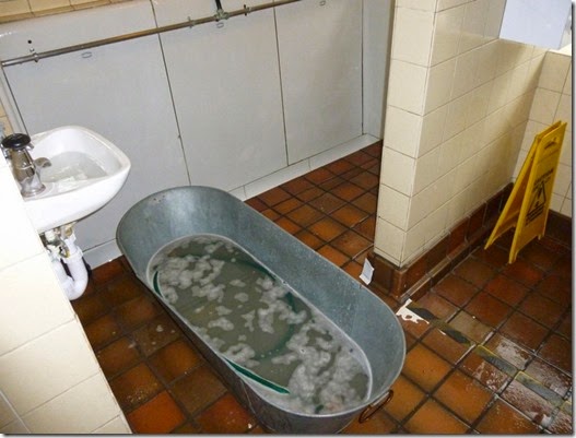
The bathing facilities at the Lord Raglan weren't too brilliant. The tin bath was in the brewery – although it might as well have been outside in the car-park, it was adjacent to a large opened door. And the water wasn't too warm. Many members just made do with a quick wipe down rather than a proper bath.
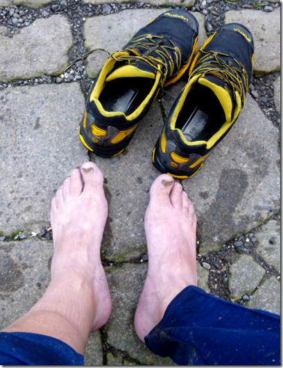
imageApres-run feet 
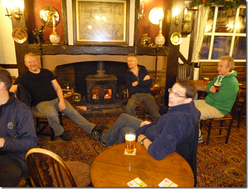
imageApres-run drinkies 
The food in the pub was tasty enough: hotpot for the meat-eaters, something that looked very nice for Des. Apple crumble & custard for afters. There just wasn't enough of it.
There wasn't really enough to satisfy the appetites of 25 runners who had spent the last couple of hours charging around the Lancashire countryside. There were rumblings (stomachs) and grumblings (the runners). The beer was good though. We'll be fine at the next run – it's from the Crag at Wildboarclough.
 

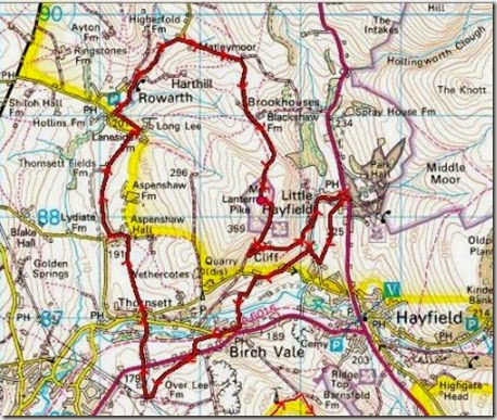
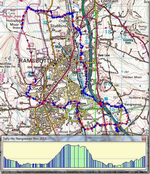
Anyway, the route was just under 10  miles and there was around 1600ft of the uppity stuff. Here’s where we went:

Route

Tally-Ho! Whitworth Wander / Turkey Trot 2023

  Whitworth Wander – Turkey Trot, 27 th of a very wet December 2023 In memory of the late Brian Whitworth, a fine man, my friend, and a for...