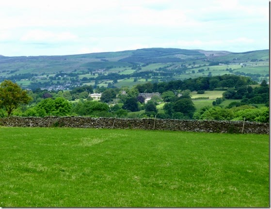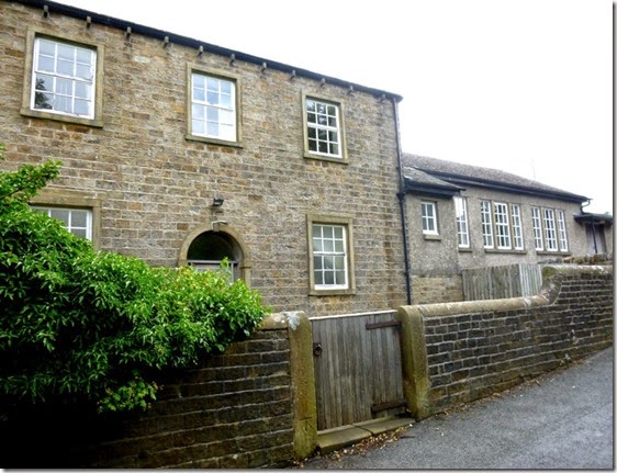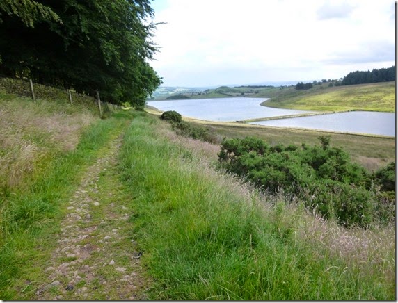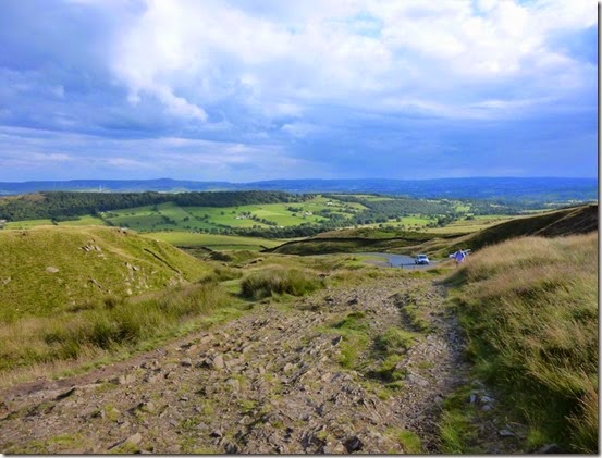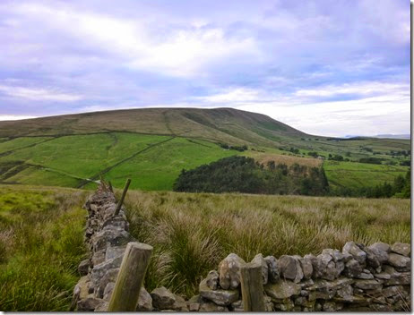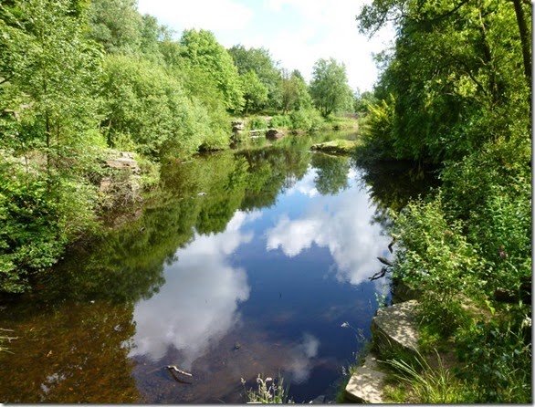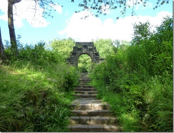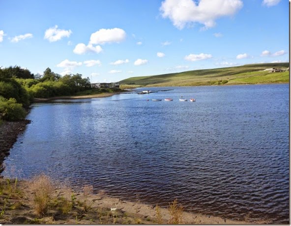
View from Oban Bothy

View from Oban Bothy
Showing posts with label LDWA Red Rose 100. Show all posts

Sunday 20 July 2014

Tuesday 8th July 2014, LDWA Red Rose 100 recce, Day 3


Barley to Tosside

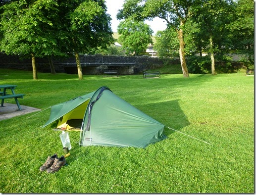
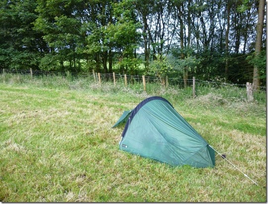
At 5.30am the bright sunshine on my tent woke me, Barley was waking up too. By 6am I was wrapped around my first cup of coffee of the day as the village dog walkers wandered by. The tent was once again wet through with condensation, both inside and out. I managed to spread it out on a wall so it could dry out in the sunshine – that was hot even at this early hour. As the tent steamed gently I used the facilities and managed a full top-to-toe wash down in the washroom of the public bog.
P1020127 Barley campsite park
First objective of the day was Pendle Hill, famous for black pussy cats, broomsticks and witches. This area is perhaps most famed for the Pendle Witches, a bunch of unfortunates who were tried and hanged for witchcraft at Lancaster Assizes in 1612.
‘The Lancashire Witches’, written by William Harrison Ainsworth is recommended reading for anyone wanting to know more. A more speculative work, but very readable, is ‘Mist Over Pendle’, written by Robert Neill.
End of Eng Lit lesson.
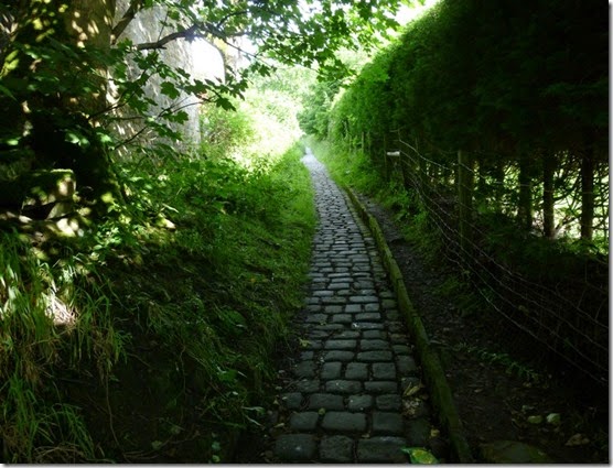
Back to the walk: I set out in the direction of Pendle Hill, passing the Pendle Inn, famous for good ale and brill pie & mushy peas. I may have mentioned that bit before, but it WAS good.
P1020129 Cobbled path leading out of Barley
It’s a bit of a tug up the side of Pendle Hill, but quite do-able. There’s a choice of a couple of paths up to the top, I’d suggest the zig-zag route – a bit further but much easier. Easier is A Good Thing.
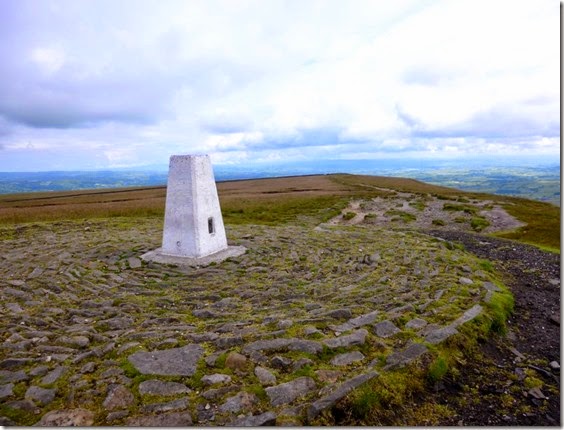
Once on the top it’s easy to spot the trig-point, even if it’s dark a well-worn track will lead you to it.
P1020130Pendle Hill 
Another zig-zag path on the north slopes of Pendle guides you nicely through Downham Moor down to a road and then another path leads to the very attractive village of Downham.
P1020136Approaching Downham 
My first job was to locate the Village Hall, the venue of Checkpoint 5. It wasn’t difficult to find, on leaving the footpath you have to climb uphill and AWAY from the village and the general direction of the route. Oh well.
P1020137
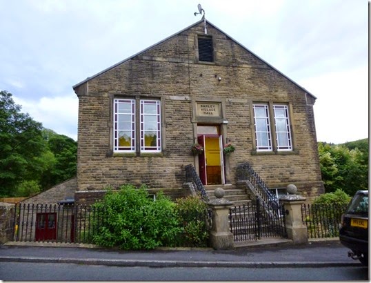
Checkpoint 5, Downham Village Hall.
It was still quite early and I hadn’t yet had breakfast – only a Mars Bar, an Eccles Cake and my compulsory two mugs of coffee. I found a rather good tea room on the edge of the village. Two pots of tea and a large BLT roll set me up for the next section of the day’s walk.
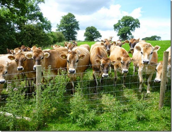
The next few miles weren’t without excitement – a herd of cowlets decided that I was worthy of following…perhaps they thought I was carrying their dinner in my pack!
P1020140
P1020143    Disappointed cowlets
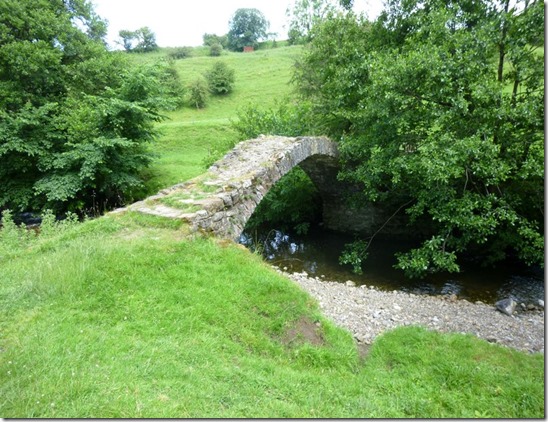
Then there was this nice little bridge (crossing Ings Beck?):
P1020146
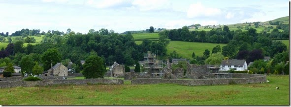
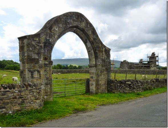
I was now heading for the River Ribble and the village of Sawley – that DIDN’T have a checkpoint, but it did have Sawley Abbey. Well it had it’s ruins anyway:
P1020149
P1020150
According to English Heritage, Sawley was a Cistercian abbey founded in 1148 and lasted until its dissolution in 1536. Monks were in possession until the execution of their abbot. Nice.
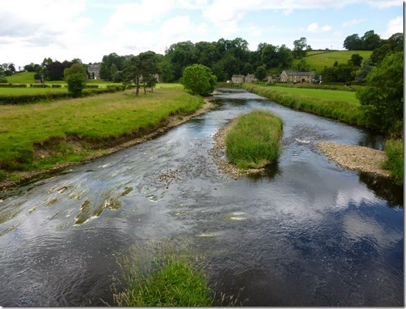
Sawley lies on the River Ribble, one Lancashire’s more famous rivers…..perhaps because we share it with North Yorkshire. That’s it with Lancastrians, we’re generous y’see.
P1020151River Ribble
The stretch alongside the Ribble and then Skirden Beck varied between highly walkable to thrashing through overgrown undergrowth. If you get my meaning. It wasn’t terribly difficult to navigate but I think it must have been a good year for triffids. I imagine that in May the plant life and general weedery will be much easier to walk through.
Checkpoint 6 at Bolton-by-Bowland Village Hall was one I didn’t photograph…..’cos I was hot and bothered…..and forgot.The Village Information Centre, loo and car park at SD785493 is a great spot to sit down, visit the loo, have a wash-down, fill up your Platy etc if you’re doing a recce. You might need this facility ‘cos there was bugger all open when I passed through. Not even the boozer. The actual Village Hall is just a little further to the east of the information centre and isn’t difficult to find.
Continuing north there was another navigational / Right of Way confusion. I’m easily confused, you may have noticed this. The turning to Green Ford Farm at Stoop Lane was quite overgrown. The signpost was difficult to spot – the Route Description does point this out. I ended up walking a little further north and taking the farm track at SD783509 instead.
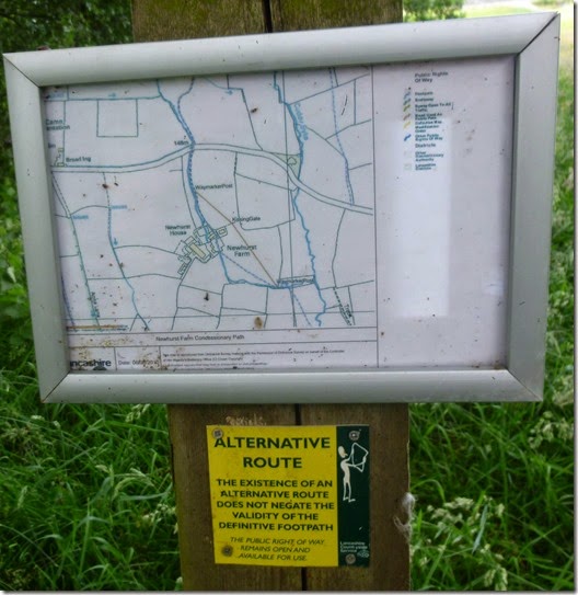
The next little problem was negotiating Newhurst Farm at SD778512. According to The Map (OS Explorer 041) the footpath goes right through the middle of the farm….which doesn’t appear to be a farm anymore, rather a posh residence.
Click on the photo below to see the details of the alternative route by a concessionary path. What I find REALLY bloody annoying is that the original path has been blocked in spite of it not having been extinguished. I shall be on to the council about this and I suggest you do too. Try entering the details on Fix My Street – this takes all the hassle of reporting problems of Rights of Way issues. The website automatically sends your complaint to the appropriate local authority - it’s good.
If you intend having a whinge about this you’ll need the Post Code for the location of the problem…..Newhurst Farm, Forest Beck, Bolton By Bowland, Clitheroe BB7 4NZ. You can view my whinge here.
P1020156 
Enough whinging….for now.
I ended up using the concessionary path to get past the farm pretentiously posh residence.
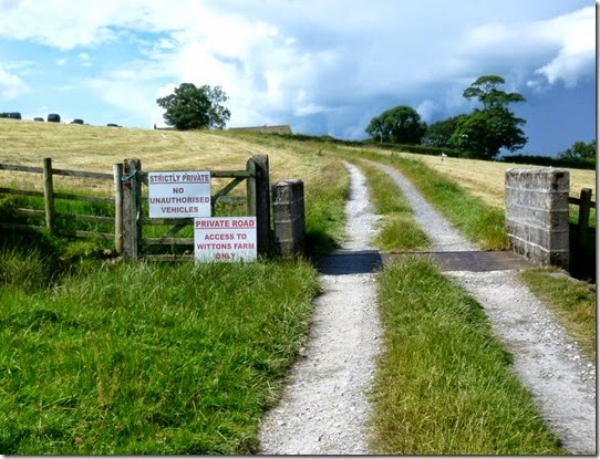
Next came Witton Farm:
P1020159Welcome to Wittons Farm 
Easy enough to find, I used the farm track rather than the footpath through the field ‘cos the field was being fettled by an enormous tractory-thing and I didn’t relish the idea of being threshed, thrashed and baled.
Approaching the farm there’s a locked electric gate:
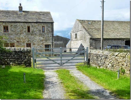
P1020160Just before this locked gate, in the dry-stone wall on the right, is a gate that allows you access into the farmyard.
Once out of the farm the route follows tarmac for around 4km. This allows for a decent turn of speed (Ho-ho!) – the surface is good and navigation is dead easy. This was A Good Thing….especially considering the sky was turning a decidedly dark shade of rain. The faster I went, the more threatening the clouds. A steep descent to cross Bond Beck meant an ascent towards Tosside, my goal for the day.
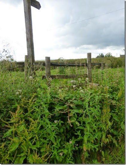
Looking at the map I could see a footpath off the road that would take my directly onto my intended campsite at Hartley’s Farm. This was COMPLETELY blocked by triffids, nettles, man-eating thistles and heaven knows what else:
P1020162Stile at SD770553 
This blockage wasn’t the end of the world but I do find this sort of thing irritating.  A couple of hundred metres on tarmac got me to the access road to the site….but even this wasn’t without it’s problems:
P1020163 At the entrance to Hartley’s Farm Campsite, Tosside
The rather expensive campsite (£15 for a solo backpacker) had a shower block, a loo, and flat, smooth grass. After a shower I wandered up the road to the pub in the centre of the ‘village’. It was closed….at 6.30pm!
Not only was this pub closed, I later discovered it only opened on Saturdays and Sundays between mid-day and 5pm. I don’t think they want the business.
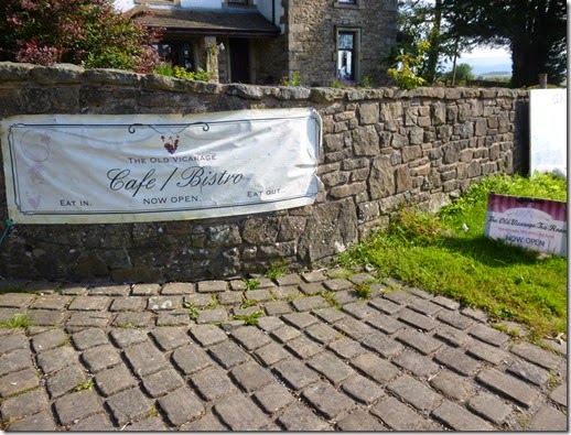
Things got worse. The Old Vicarage Tearoom, a very attractive establishment with a stomach-rumblingly good menu outside along with signs advertising that they were ‘Now Open’ proved to be utter cobblers.
P1020173The very closed Old Vicarage Tearoom, Tosside 
Not only was the door locked, there was no indication of when the place might open. The menu listed a couple of nice breakfasty items so I rolled up the next morning, hoping for breakfast. Not a chance, it was completely shut. And I was completely hungry.
You may gather that Tosside didn’t endear itself to me. You would be quite right. I can only assume that business for both the pub and the tearoom must be so good that they don’t need to open very often.
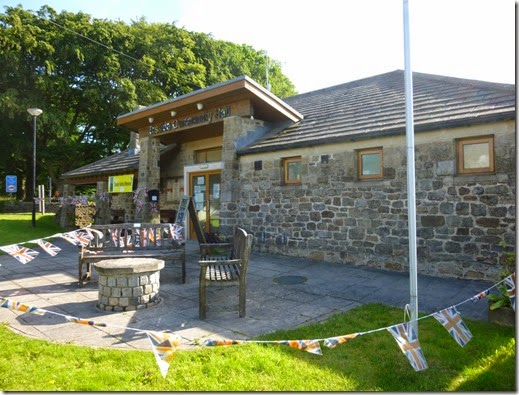
On a more positive note, Checkpoint 7 at Tosside Community Hall looked nice:
P1020172

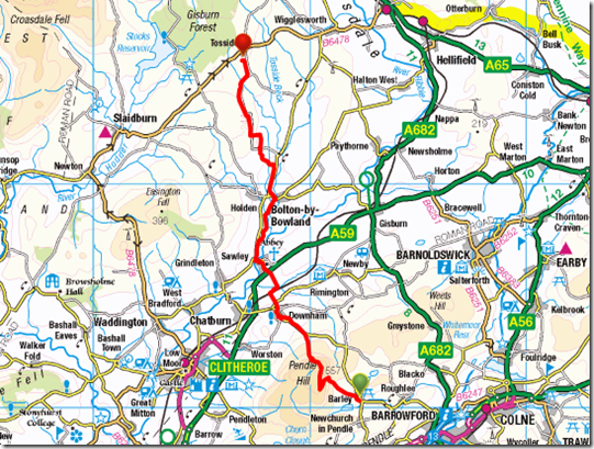
The day’s route:

image

13.6 miles with 3500’ of ascent.

A more detailed view of my route on Viewranger should be available here. Be aware that my route differs from the route described on the LDWA 100 website ‘cos of my navigational problems.
If unable to open the link, just go to Viewranger and search for  LDWA Red Rose 100 Recce, Day 3
Monday 14 July 2014

Monday 7th July 2014, LDWA Red Rose 100 recce, Day 2

Blackburn to Barley

I awoke to a wet tent – a heavy dew on the outside and lots of condensation on the inside. and I was using my Laser Comp, NOT my Akto!
P1020072
I set off at around 7am and headed for the site of Checkpoint 2, St Francis Church Hall, Feniscliffe, 16 miles into the 100 mile route.
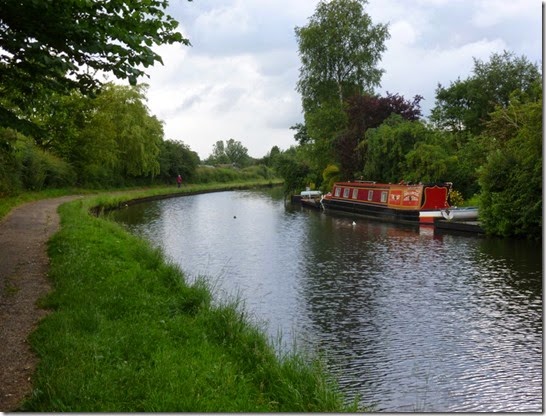
P1020079 Leeds Liverpool Canal, en-route to Feniscliffe
P1020083 Checkpoint 2, St Francis Church Hall, Feniscliffe
As I’d stopped short of my intended pitch the previous night there was still a couple of miles to go to get into Blackburn where I was planning to raid a butty shop or cafe for breakfast. It seems that Blackburn’s butty shops don’t open too early and I had to go off route and into the town centre to get my brekky.
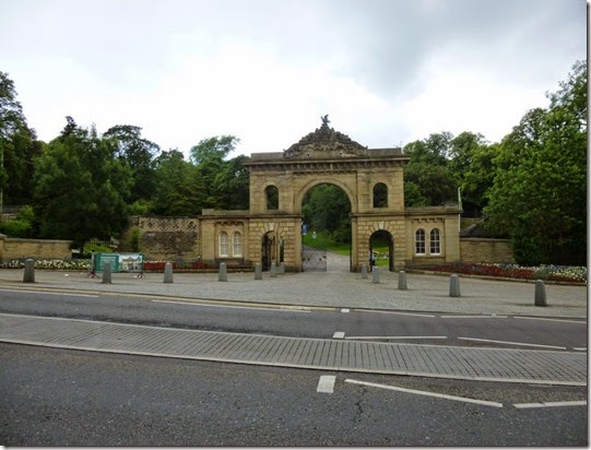
P1020084  The grand entrance to Witton Country Park
I ended up walking through the streets of Blackburn for 3-4 miles altogether, just to get fed. This also meant that I missed a section of the official route….but at least I got my breakfast! This was the only time during the entire trip that I needed my waterproofs – it rained quite heavily for around 30 – 40 minutes. Then the sun came out again.
 P1020087
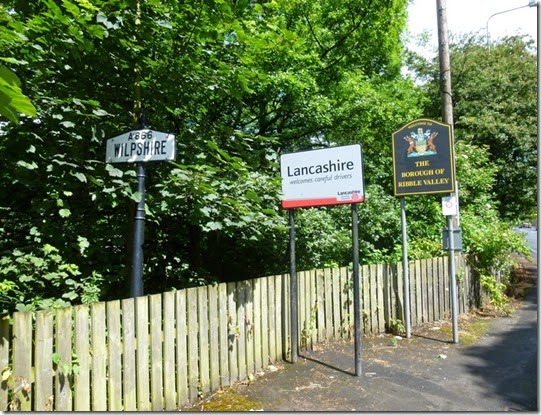
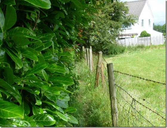
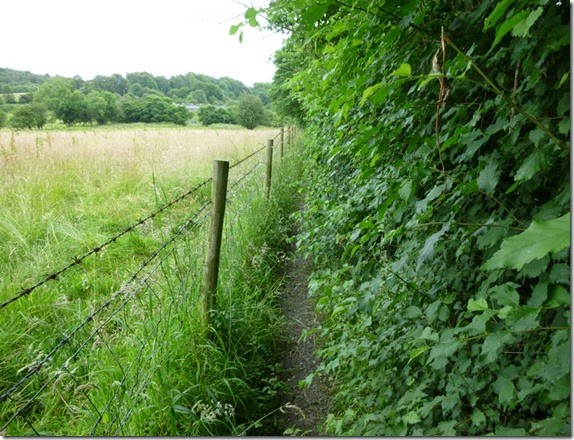
I regained the route at Wilpshire and it was here that I first encountered the curse of the overgrown hedge + barbed wire. The footpath to Hollowhead Lane was made very narrow by the overgrown hedge - combined with a not very nice rusty barbed wire fence on t’other side.
This was A Very Bad Thing. 
This is the part of the route referred to in Para 3.9 of the route description issued by East Lancs LDWA.
image
P1020092 
Anyroadup, I headed north-east alongside Parsonage and Dean Clough Reservoirs. I encountered dog walkers, mountain bikers and road cyclists – all out to enjoy the sunshine. I was enjoying my walk so much that I managed to successfully wander off route – not for too long though.
P1020095 
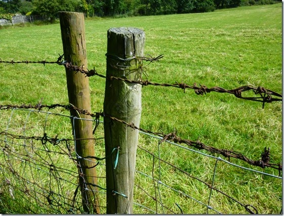
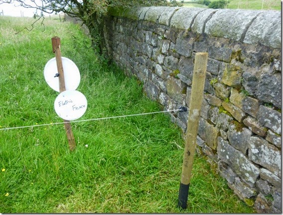
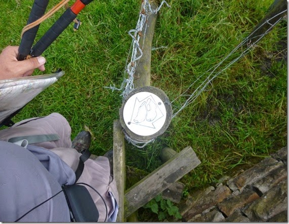
P1020097There were more barbed wire encounters. There was even an eletric fence encounter. I wonder if there’s a law about the use of barbed wire? Inappropriate use of the stuff is really quite dangerous. I was getting the distinct feeling that it was being used to deter walkers rather than to keep livestock contained.
P1020099 Dean Clough Reservoir
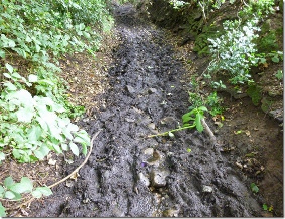
Although the recent weather had been good and dry, there were still muddy bits. I can’t imagine (or perhaps I can!) what this path would be like after prolonged rainfall:
P1020100
To be fair, nearly all paths I’d encountered so far would be fine in wet weather.
P1020104
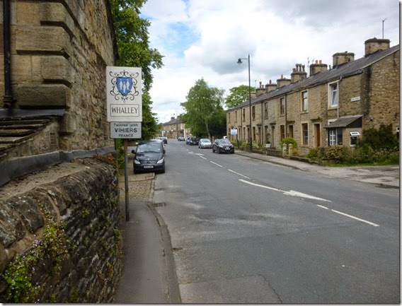
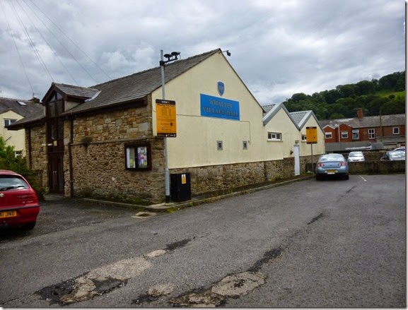
Next stop was Checkpoint 3, Whalley Village Hall:
P1020105
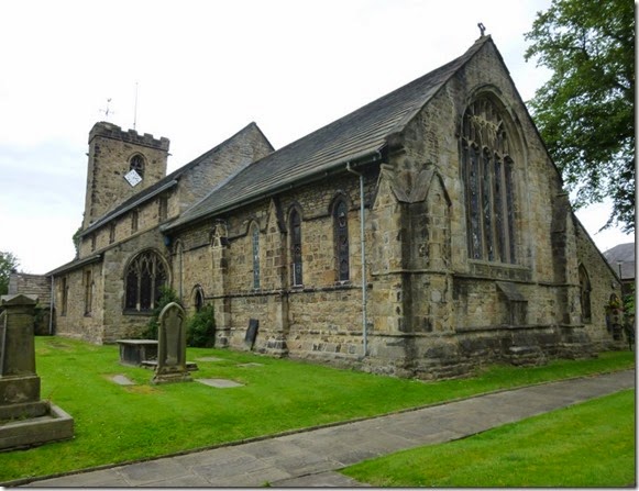
Whalley also meant lunch. The local Spar provided the the necessary and the local church yard provided the site. I took the opportunity to further dry my tent, I just spread it out in the sunshine. I must have presented a strange sight: a bloke in bare feet, socks and shoes steaming gently, a tent spread out….heaven knows what passers-by thought of me!
P1020108 Lunch spot, Day 2
Leaving Whalley there was another barbed-wire / overgrown hedge problem – at least the barbed-wire was on the field side of the fence posts rather than the footpath side:
P1020111
The route crosses the A671 shortly after leaving Whalley and a path should be taken to Clerk Hill. Those walking the route should read Para 4.3 of the route description…..like wot I didn’t!
Just to clarify: DON’T go into the car park / woods, the correct route is through the golf course. I’d also be a bit careful leaving the golf course footpath, the correct route isin’t terribly easy to find.   
P1020112 If you pass this you’ve taken the wrong path
I can thoroughly recommend Harmsworth Ice Creams though.
P1020113
P1020115
Worralot of ways 
The climb up to the Nick of Pendle was a bit sharp but the reward of good views was well worth it.
One should watch oneself here. Spence Moor is a wee bit boggy, muddy, fetidly swampy in parts and it’s very easy to go off-route. Keep an eye on your map and compass and all will be well. But you might get a bit mucky.
P1020116 Looking back from the ascent to the Nick of Pendle
 P1020118
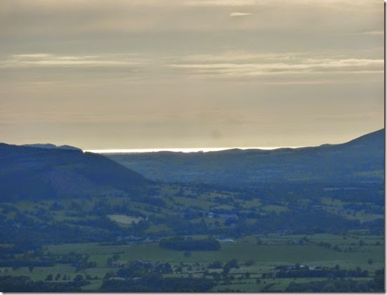
 Westwards. The bright and shiny bit is the distant Irish Sea.
Anyroadup, Pendleton Moor and Spence Moor came and went. My intended wild camp spot of Fell Wood. proved unsuitable – no water y’see. Pendle Hill was now in full view – that had to wait until the following day.
P1020120Pendle Hill 

Oh Pendle, Oh Pendle thou standest alone,

‘Twixt Burnley and Clitheroe, Whalley and Colne,

Where Hodder and Ribble’s fair waters do meet,

With Barley and Downham content at thy feet.

I continued, vowing to stop at the first suitable spot – which wasn’t until the village of Barley. It was only another mile or so but it was well worth it.
Another nav warning: the footpath at SD823398, I found it difficult to locate this path on the ground. Again, keeping an eye on map & compass will help enormously.
I walked into the village, calling in to the open village hall (Checkpoint 4) to fill up my water carriers.
P1020125 Checkpoint 4
I ventured further…and found a pub. Oh tsk.
The pub served a selection of excellently well kept proper beer…an appropriate place to rehydrate then! I made use of the pub’s facilities and managed a top-to-toe wash down before returning, smelling slightly less horrible, to my beer. and crisps. And meat pie & mushy pea’s. Mike would of liked it here, the pie’s were good.
Another beer or two later and the pub went into shutdown mode….at 10pm! Whatever happened to pubs staying open until closing time? I left the pub and headed for the local park: nice flat grass, secluded, with picnic tables….and, sheer luxury, a loo!
I slept comfortably that night – although only for a few hours.

And here is wot I did for 23 miles:

Route Day 2 OS
The route can be viewed in more detail here….but i’d rather you didn’t look too closely ‘cos you’ll see all the places I went wrong.

Sunday 13 July 2014

Sunday 6th July 2014, LDWA Red Rose 100 recce, Day 1


The East Lancs LDWA are hosting the annual 100 mile walk on behalf of the Long Distance Walkers Association, LDWA, in 2015.

This event is the LDWA’s flagship event. Held every year in a different part of the country, to coincide with the late May Bank Holiday,
This is a record of my recce of the route that I backpacked over 6 days in July 2014, shortly after the route had been publicised.

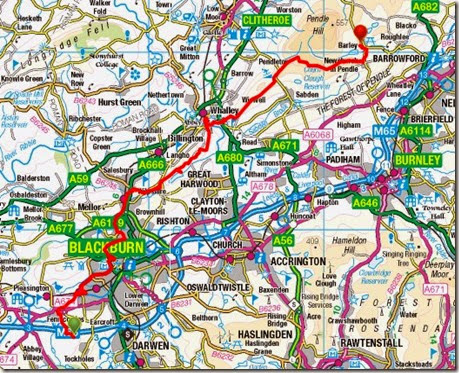
Adlington to Blackburn

My original plan of a morning start was tweaked for two reasons: firstly it was a hot day and I didn’t want to be walking into increasing temperatures, secondly I was planning a stealth camp that first night and didn’t want to be arriving at my planned overnight pitch too early, and thirdly I hadn’t got my backside into gear. Three reasons.
I’d arranged to park my car outside the house of legendary long distance walker Reg, a former Timperley resident. Reg now lives in Adlington, near Chorley which is perilously close to the official start of the main route and so it suited perfectly. I now owe Reg a substantial quantity of beer in exchange for his kindness. Thanks Reg!
Anyroadup, I left Reg’s at around 3pm in hot sunshine and headed off in a sort of Easterly direction. East is good you know.
P1020038 Rivington Reservoirs
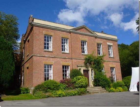
I crossed over the dam that carries the road across Rivington Reservoirs to Rivington Hall, a favourite haunt of motorcyclists on sunny Sunday afternoons.
P1020041Rivington Hall 
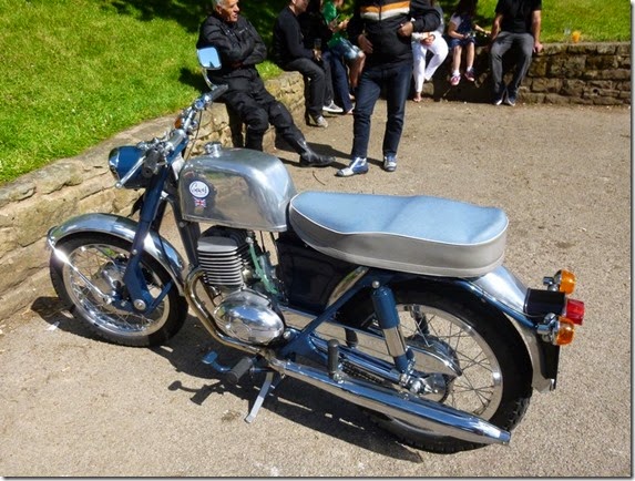
There were loads of flashy bikes around but the one that caught my eye was a beautifully restored Greeves fitted with a modified Villiers 197 engine:
P1020042
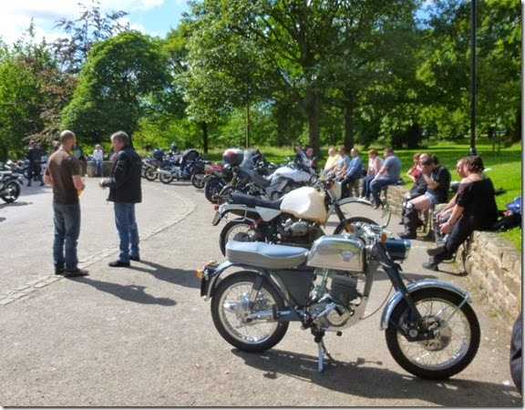
P1020043The Greeves from t’other side, and some of the other bikes 
Leaving the hustle and bustle of Rivington, the route climbed through Rivington Country Park, a legacy of Lord Leverhulme. The paths were easy to follow and quite busy, loads of folk were out and about for gentle afternoon ambles in the lovely sunshine.
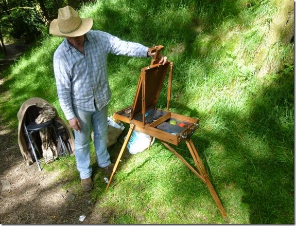
P1020045An artist with his very clever French Easel….
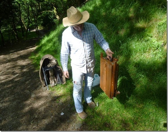
P1020046   ….that packs away to this. Clever eh?
P1020047
P1020048 
P1020049The Pigeon Tower where there were reet good views over t’Lancashire countryside
Looking ahead to the main event next May (which I shan’t be doing) some of the stony tracks are likely to cause the front runners a problem. I suspect one or two may take the odd tumble on the uneven surface:
P1020052
The route went over Horden Stoops, down to the village of Belmont and then skirted the southern shore of Belmont Reservoir before joining the Witton Weavers Way and then to Slipper Lowe, the site of the event’s Checkpoint 1.   
P1020054
Belmont Reservoir
P1020056The path to the site of Hollinshead Hall and Slipper Lowe

P1020058 The picturesque site of Checkpoint 1
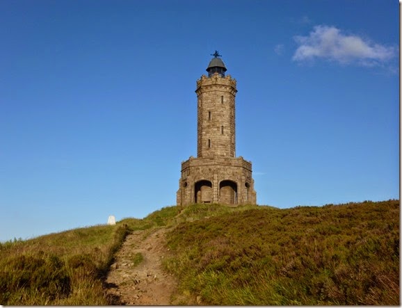
Next point of significance was Darwen Tower, or more accurately Jubilee Tower. This rather magnificent structure, completed in 1898, was built to commemorate Queen Victoria's Diamond Jubilee.
P1020063 Jubilee Tower
It’s not a difficult pull up to the top but I decided to eat my butties before, to paraphrase Julia Bradbury, ‘the final assault on the summit’.
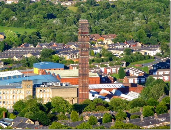
P1020066
India Mill Chimney, viewed from Darwen Jubilee Tower
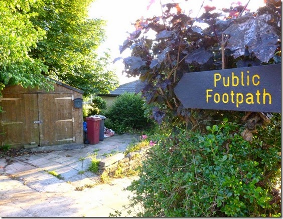
The only navigational problem I had on this first day was from Tockholes, after descending from the tower. Both the map and the route description tallied perfectly, but the footpath signpost was completely contradictory – I suspect the signpost may have been deliberately aligned to confuse.
P1020070Footpath to nowhere 
I ended up going off-route – but not a lot. A tarmac detour did the trick and I was back on the proper route. Perhaps a 20 minute faff.
My planned stealth camp for the night was in Witton Park, Blackburn. ‘City’ stealth pitches are far from ideal and I wasn’t really relishing the prospect. Walking though a grassy field, just south of the M65, I spotted a lovely secluded and hidden corner – just the job. There was even a stream very close by. It didn’t think it wise to drink the stream water, even after boiling, I was glad to have brought my Travel Tap water filter with me.
Unfortunately the warm evening was quite still. And there were trees. And that stream. And therefore midges. Thankfully there was also Deet.
Overall this had been a very easy section to navigate and really quite pleasurable. The only fly in the ointment was the Tockholes Navigational Faff which will be reported to The Commitee for further investigation.

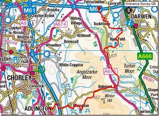
Where I went:

Route Day 1 A more detailed view of the route can be found on Viewranger.

Tally-Ho! Whitworth Wander / Turkey Trot 2023

  Whitworth Wander – Turkey Trot, 27 th of a very wet December 2023 In memory of the late Brian Whitworth, a fine man, my friend, and a for...