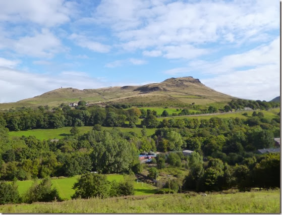
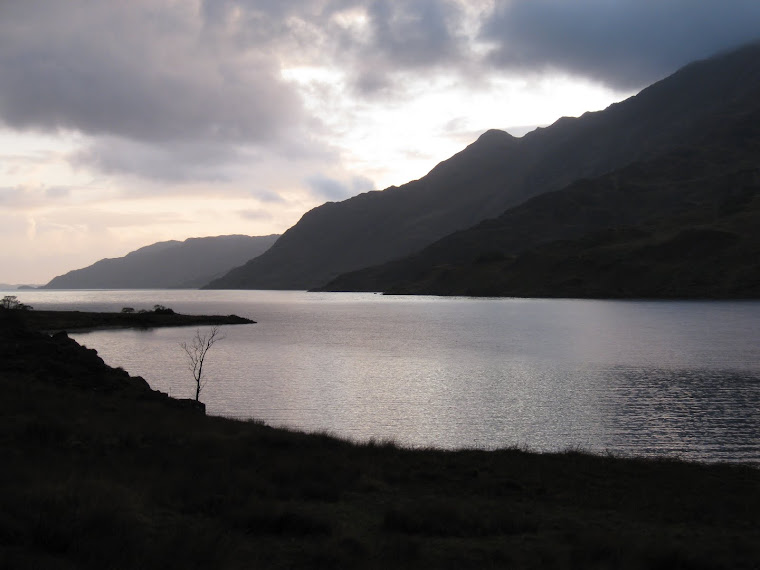
View from Oban Bothy

View from Oban Bothy

Tuesday 29 October 2013

20th – 22nd September 2013, A Lakes Backpack

Orienteering (sort of) in the Lake District

Not much in the way of photos this time I’m afraid, all will be revealed later - read on……
September sees the Backpackers Club Treasure Hunt, a sort of orienteering event but with knobs on. And a cherry on top.
The idea of the event is to get round as many ‘check points’ as possible within a defined time limit. In addition to that, at each check you must answer a question that is relevant to that location, ie you can’t answer the question without actually visiting the checkpoint. Each check has a points value – although Colin, who sets the course and the questions, has some interesting ideas of what some of the answers should be….and don’t get me going on the (in)accuracy some of the map references!
The cut-off time for returning to base was 2pm on the Sunday, you are deducted 10 points for every minute you’re late.
Participants (rather than competitors – it’s more of a fun event than a competition) gathered at the rather nice Castlerigg campsite on the Friday evening. The pub next to the campsite offered the only chance of knobbling Colin, the event coordinator. This could be achieved by buying him huge amounts of beer. I didn’t, obviously…..’cos I am tight.
I was accompanied by Beryl the Peril AKA Margaret, who’d been gullible enough to join me once again – we had formed a team for last year’s event too. Walking with Beryl always worries me, she’s rather supremely fit although she denies it. I’m as gullible as Beryl, I actually believed her when she told me she was unfit. I never learn…

Cool dude Beryl on last year’s Treasure Hunt
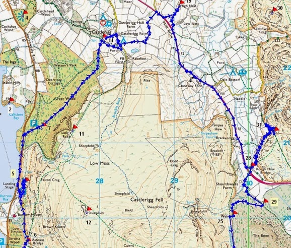
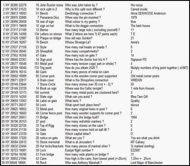
We left the campsite at around 9.30am on a pleasant Saturday morning and headed of to our first planned check, High Nest at NY291228, just NE of the start. The question: ‘What is the Shropshire connection?’ had us well puzzled – but after wandering around for 10 minutes we spotted a drain cover, manufactured by ‘Wrekin’. We had our first answer!
Our next couple of checks involved trotting down some tarmac, but after that we were on the rough (and wet!) stuff for the rest of the day.
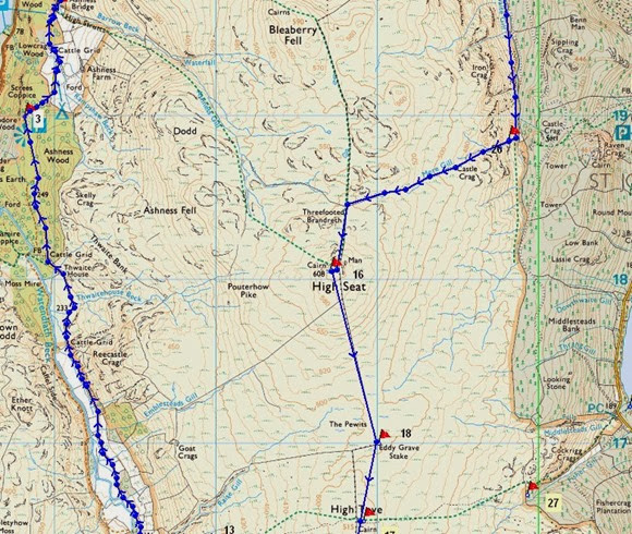
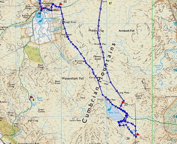
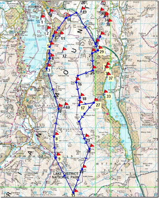
The map below shows our order of service, below that is the list of questions & answers – just to give a flavour of what’s involved. I find it prudent to plan an optimistic route with a couple of escape options. Although the distances aren’t great, the time spent in trying to answer questions significantly adds to what a normal day’s backpacking would take. Our furthest south check was No 24, just to the south of Blea Tarn. I would like to have got to Ullscarf but it just wasn’t to be.
image
Treasure Hunt 2013

We enjoyed endured an interesting afternoon, plodging over sodden ground, climbing up to High Seat and then going south by High Tove and Blea Tarn, ticking off the checks as our feet got wetter and wetter.
Although we got to most of the checks we wanted to, our answers didn’t always agree with what the course setter had settled on. Oh well. Our last check of the first day was at Blea Tarn, the map reference for the check was WELL out….so that’s one we didn’t get. Rather irritatingly, these clear errors on the the part of the course setter were brushed aside. Mind you, the extra points wouldn’t have made THAT much difference to our final score anyway!
We camped in the company of Lawrence & Lesley from Stockport, and Frank, who is from Darn Sahf – Northamptonshire I think. Frank is half of the editorial team of the Backpackers Club journal, ‘Backpack’, and a fine job he does. These three made up a very successful team. Lawrence & Lesley enjoyed a glug of my Magic Medicine – guaranteed to warm your wotsits up nicely. Frank abstained – he’s a beer man. I really must try dehydrating TT Landlord.
Saturday night was dry, the moon rose around 9.15pm, completely illuminating Blea Tarn and the fetid, boggy ground around it. I took photographs of the moonrise. In fact I’d been taking photographs all day, I was really looking forward to going through them when I got home.
Next morning I legged over to successfully to collect another check before we headed off to Watendlath and our next check. This stretch was the last of the wet & boggy routes, the rest of our day was on good, dry ground.
Beryl had A Plan: Watendlath has a rather good tea shop….need I say more? We made full use of the tea shop, drying my smelly socks, drinking tea, followed by soup & a roll,..and a scone. Yum!
The next couple of checks were easy enough, although disaster struck at Check No5, close to Falcon Crag to the west of Castlerigg Fell. We were nicely on schedule to arrive back at base for around 1.50pm. The sun was shining, my feet didn’t smell (quite) as much as before.
I left Beryl to keep an eye on the packs whilst I ran up the hill to collect the check, I didn’t have time to waste so I set myself a limit of 10 minutes to locate the check and answer the question, if I were to spend more time than that it would risk us returning to base too late. At the 10th minute I succeeded: ‘What colour is granny?’ The answer is blue*. Obviously.
Pleased with my little self, I ran (well it WAS downhill) back to Beryl and our packs. It was then that I realised that my little Lumix camera was missing. I checked and rechecked, but it was gone. I’d photographed the check location so I knew the approximate location of where it should be. I ran back to have a good look but it was no use, the camera was lost – probably in the thick undergrowth, never to be seen again.
By now I had eaten into our reserve time, it was unlikely that we’d get back by 2pm….and we didn’t. We lost around 100 points due to our lateness.
In spite of losing my camera – and losing points because of that, the very strange question & answer policy, the wet feet….I’ll be back next year. Unless the answers are screamingly obvious I won’t waste much time on answering questions though.
Margaret Beryl was good company (don’t tell her though, it might go to her head) and I think we made a reasonably well-matched team: she had the fitness and the superior intellect, whilst I had a car to get us to the start.
Colin had worked damned hard to put the event on, without him it just wouldn’t happen. He quite justifiably got an appreciative round of applause at the end.
It was good.

This is what we actually did (ish):

Day 1: 15km, 700m of up, 400m of down, Day 2: 14.5km, 450m of up, 750m of down
These figures exclude the faffs involved in locating the checks – some weren’t where the map references suggested!Treasure Hunt 2013 A
Treasure hunt 2013 B
Treasure hunt 2013 C
Profile Day 1
Profile Day 2
*Q: ‘What colour is granny?’ A: Blue. There’s a metal sign at the location, on the rear of it was stuck a tiny (blue) Granny Smith label.
Friday 25 October 2013

Monday 9th September, A Saddleworth Saunter

This Blog hasn't been kept as up-to-date as I would have liked of late, mainly because of other stuff going on. I'm making a valiant attempt at putting some of the more significant recent events so earwiggo.......
 

Alistair's Birthday Walk

Alistair, in common with Norman, has a birthday on the same date every year. Like Norman, he tries to celebrate his birthday with a walk. This year he struggled to find suitable company for his birthday walk and so he ended up asking me to join him.
Rather chuffed at being asked to join him on this auspicious occasion, I jumped on the train from Altrincham to Stockport where Alistair collected me for the drive over to Dovestones Reservoir, east of Oldham.
The day was ideal for walking, bright and sunny but not too hot. This area of Saddleworth is really quite lovely, the edges make for gentle walking – once you've actually got up to them. My last visit here was last November when I'd been out for a run with Cheshire Tally-Ho. Now the colours of the countryside were quite different and it was much warmer.
Our route started at the car-park by the reservoir dam. Other than dog-walkers, a couple of cyclists and two runners, we seemed to be the only people out that day.
We headed out west, which the navigationally switched on will quickly note is NOT east. East is Good. Heading west was A Warning. We had planned to climb to the top of Alphin, a pleasant enough looking hill. We picked out what appeared to be an easy zig-zag route.....except that it wasn't. It was a bit of an uphill battle over heathery, boggy, overgrown upness. There actually wasn't a zig-zag route so we just ended up aiming for the top and going straight for it. Such fun.
P1020872 Pots and Pans, above Uppermill
P1020878
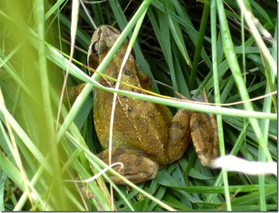
Close Encounter of the Frog Kind
P1020875
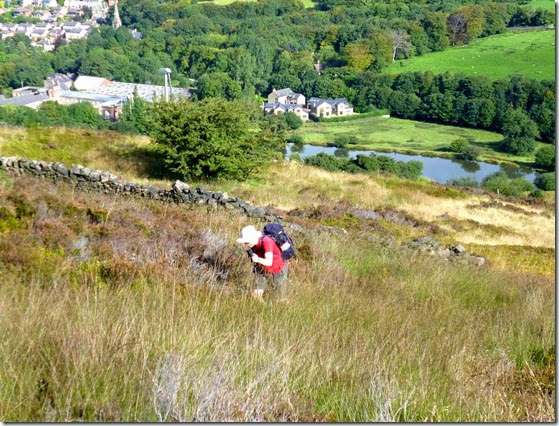
The Birthday Boy climbing up the side of Alphin
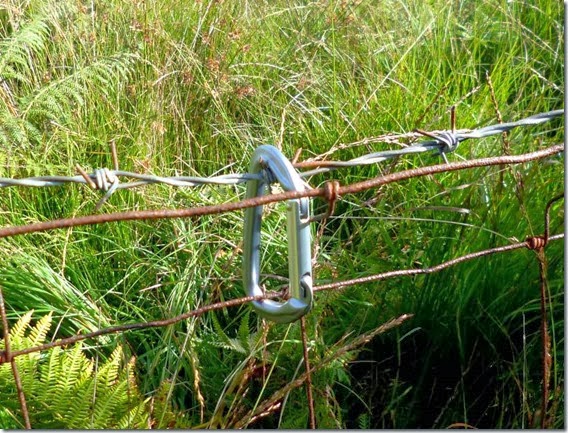
Up until a couple of years ago I’d always thought that walkers carrying carabiners about their person were poseurs….wanalooklike climbers. Until I walked with Denis Pigeon. He pointed out that a carabiner is simply a brilliant way of holding down the top rung of a barbed-wire fence so you don’t catch your rude bits as you clamber over. Sooo…here’s the Denis method of dealing with a barbed wire fence:
P1020876Another very useful, er, use for a carabiner is for securing your pack on the well-overloaded luggage rack of the train from Glasgow to Fort William and the start of your TGO Challenge. It also earns brownie points from the train conductor / tickety person who would otherwise get very grumpy. 
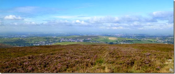
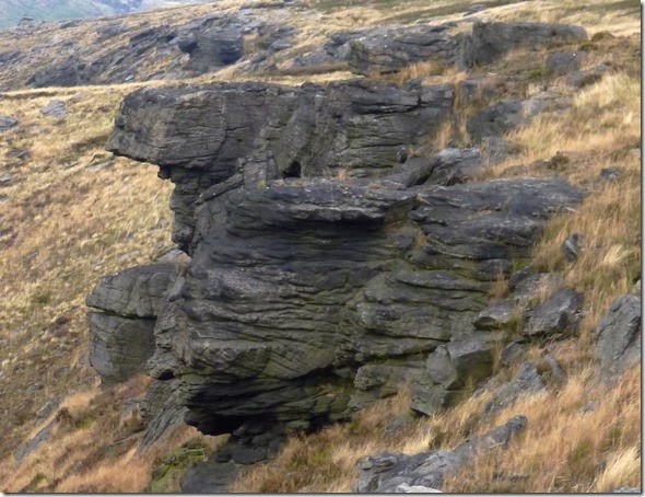
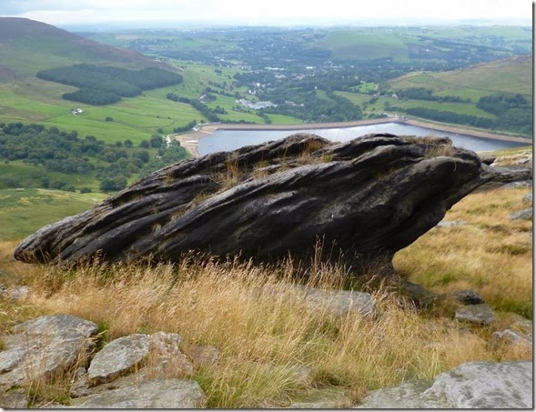
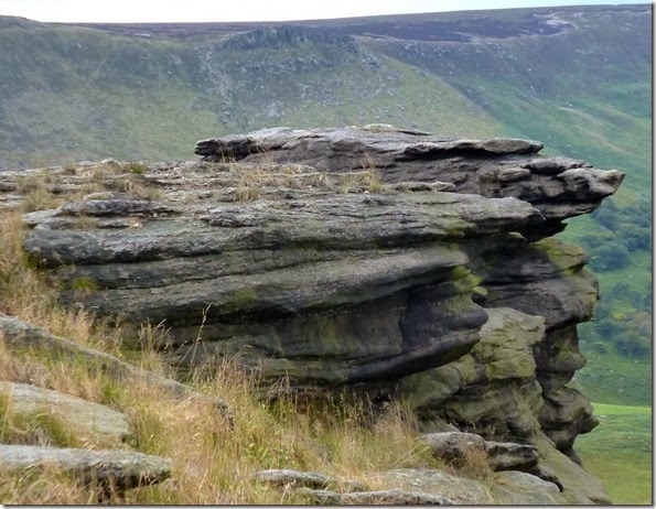
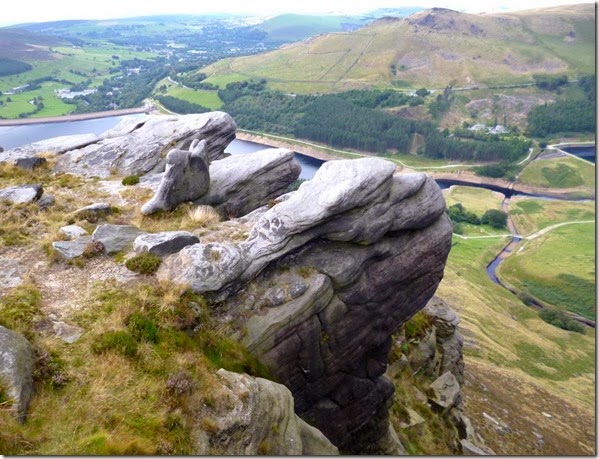
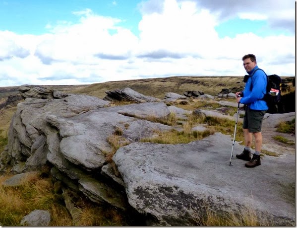
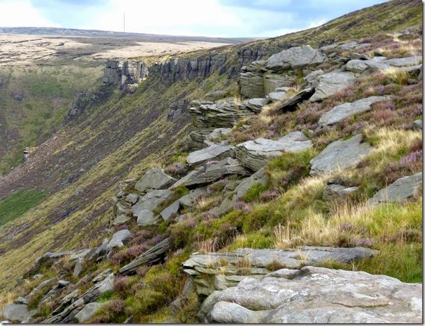
Anyway, once at the top of the hill we found a pleasant spot and stopped for a quick cuppa and a gawp at the views which were spectacular, the Manchester skyline in the distance, the reservoirs in the middle distance and weirdly shaped rocks along the edges.
P1020882 Manchester in the far distance
P1020881
Alistair trying to look a year younger than he actually is
Suitable refreshed, we wandered off south east-ish, sticking closely to the rocky edges above Chew Brook and north of Wimberry Moss.
I lived not a million miles from here in the 1970s and one of the annual delights was picking wimberries, they make the most wonderful fruit pies. The only drawbacks are that you end up with blue fingers and they take ages to pick.
The paths were generally good but there were the odd soft and soggy bits to negotiate, nothing life-threatening like wot you get on Kinder Scout though. After crossing one of these soggy bits, a steaming peat desert, Chew Reservoir became our next target.
P1020889
P1020903  Chew Reservoir
We trotted merrily across the Chew Reservoir dam (the Dam Chew Reservoir?) and looked across the water. Emley Moor TV mast was quite clearly visible in the distance. A bit of a cool breeze had built up so we found ourselves a nice sheltered spot for lunch. Butties and flasks were produced....and Alistair was presented with his no expenses spared £1 birthday card. I would have bought a Gregg's birthday cake....but there isn't a Gregg's on the Saddleworth Moors. Oh well. Egg butties and malt loaf had to suffice. Oh, and it rained, but only a bit.
P1020908
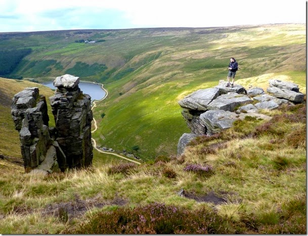
Wandering off in a sort of north direction, we crossed some boggy ground until we spotted a good path along the edges. We followed this easy path until we drew level with Greenfield Reservoir, stopping only to gawp at the wonderfully shaped rock formations. And to photograph them:
P1020912 P1020913P1020914  P1020935P1020933  The person in blue is Alistair, not a rock. It’s just that he’s a year older.
P1020949The sticky-up thing on the horizon is the Emley Moor TV mast. 
P1020953
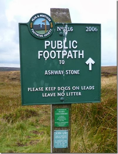
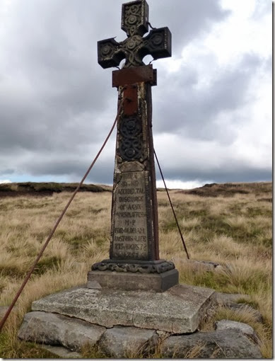
We came across Ashway Cross:
P1020944
‘Here, by the accidental discharge of a gun, James Platt Esq., MP for Oldham, lost his life, 27th August 1857’
James Platt, Liberal MP for Oldham, was out shooting grouse on the moors when he lost his life. The Platt family were big in the textile industry, at one time Platts were the world’s largest textile machinery manufacturers.
There were clouds:
P1020947
The descent wasn't quite as straightforward as the earlier part of the walk. There wasn't much of a path so we just followed the stream that flowed down Birchen Clough to pick up the Land Rover Track that served the reservoirs.
P1020956
All was well until I took a tumble, nothing serious – my pride was more damaged than my body, although my bruised legs ended up being quite multi-coloured for a couple of weeks!
Fortunately the Land Rover Track, which soon became a tarmac-surfaced road, made for easy walking and my bruised pins didn't slow us down too much and we were back at the car soon after.
P1020959 Enroute to the car
A lovely day out in good company, I'll have to see if I can drag Alistair out for a walk on my birthday!
Alistair reckons with walked around 18km with a total ascent of 500m. I reckon we walked a bit more than 11 miles and climbed around 1600ft.
If you want to know what we REALLY did, have a look at Alistair’s blog. He’s got a map too!
More pics here. – loads more rock formation stuff.

Thursday 24 October 2013

Saturday 7th September, Thelwall

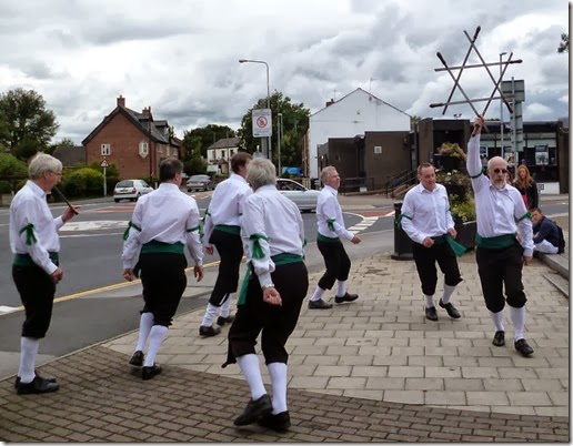
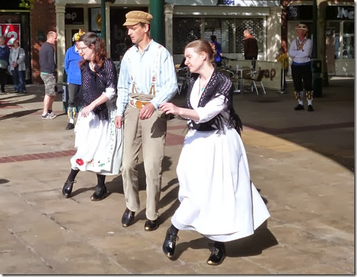
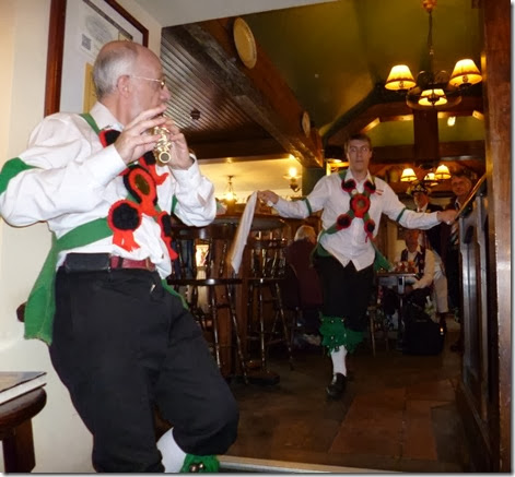
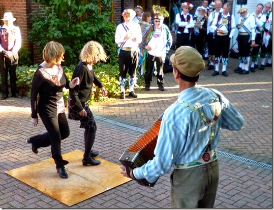
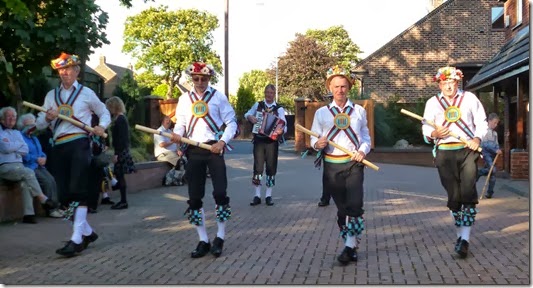
Thelwall Morris are a fine bunch of lads, always up for a bit of fun and a leap around. Every year they invite a few Morris sides to Warrington to join in the fun and leaping around. This year was my first Thelwall Day of Dance – and what a cracking day out it was. A bus was commandeered hired for the day which provided transport around the various venues. This was a good plan….most of these venues seemed to provide lots of rather good beer.
Just some pics from the day….and more pics here.
P1020830P1020850
P1020835P1020860  P1020858
P1020865
P1020869  A grand day out Grommit!

Thursday 17 October 2013

Wednesday 4th September, Norman’s Birthday walk

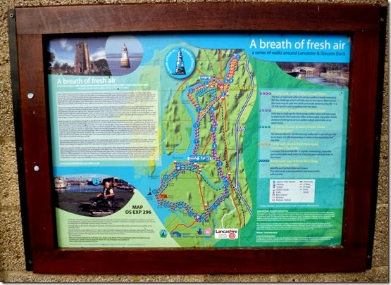
A Breath of Fresh Air

Norman’s birthday always falls on 4th September, every year. Funny that.

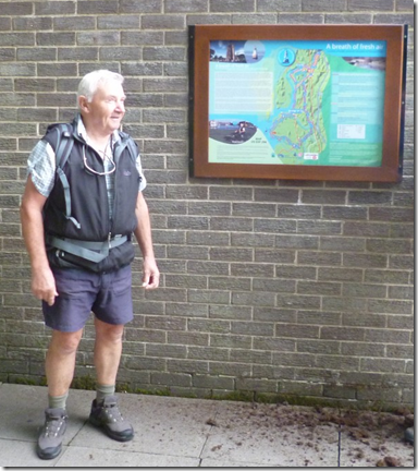
As well as being famous for having his birthday on the same date each year Norman is responsible for a rather pleasant 22 mile walking route just to the south of Lancaster entitled ‘A Breath of Fresh Air’. By way of a birthday ‘celebration’, Norman decided to burden his mates with a 15 mile variant of his invention. And just to make it interesting he led the walk in reverse.
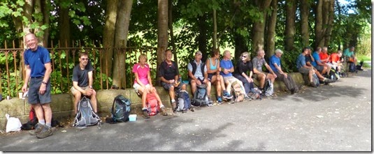
It was a lovely morning for a walk, warm yet pleasantly fresh. 19 walkers, well 20 walkers if you include the dog, met up at Conder Green at the appointed hour and girded their respective loins in preparation for the walk ahead.
image Norman, 74, outside Conder Green public loo
Off we jolly well went, down the disused railway track towards Lancaster. Dr Beeching has a lot to answer for, but the footpaths & bridleways left behind after the widespread butchery of the British Railways network are now very well used by walkers, cyclists and horseriders. Good as these Rights of Way are, a comprehensive railway network might just have helped improve the overcrowded roads of today. 
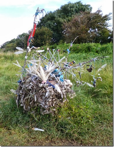
P1020741 Artwork adjacent to the disused railway line – looks like one of Oliver Postgate’s creations!
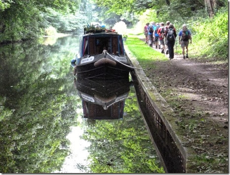
Our Glorious Leader led us down to the Lancaster Canal at Aldcliffe where lunch break No1 was enjoyed:
P1020748 P1020753
P1020760P1020757
P1020767Lunch break No2
P1020770 P1020771
Especially for Alan
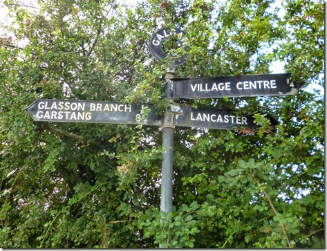
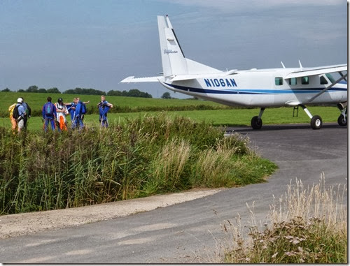
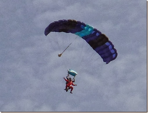
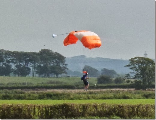
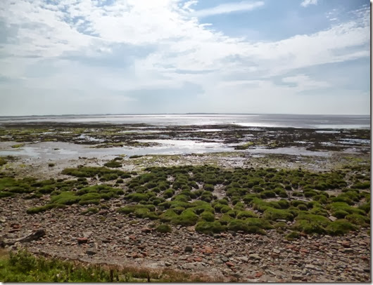
Our route took us to Galgate, over to Cockerham and then to the coast. It was on this leg that we came across The Black Knights Parachute Club’s airfield. Jumping out of aeroplanes it what this lot do and they were doing it with gusto. The airfield had an excellent café which was open and many cups of tea were quaffed as we watched the Black Knights do their stuff.
P1020777
P1020783  P1020789
The aerial display was really impressive, unfortunately the bright sunshine made it difficuIt to keep an eye on the tiny specks jumping out of the plane. It was only when the brightly coloured parachutes were a few hundred feet above us that we could really watch their manoeuvres.
It would have been easy to spend more time at the airfield – but we had a walk to do! 
P1020797
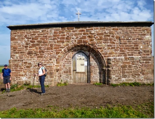
P1020804 Cockersand Abbey
P1020807
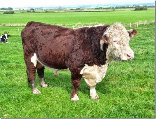
A Big Lad!
P1020808
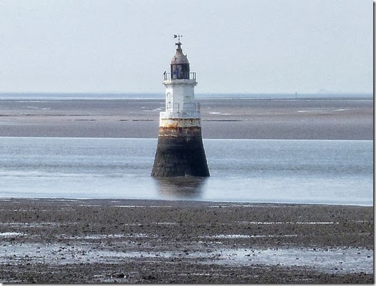
Plover Sands Lighthouse
P1020810
P1020818
P1020815  Another one for Alan
P1020824
Glasson Dock
The finish was perilously close to a pub and, er, well…..it would be rude not to. So we did.
The 15 mile walk varied in length depending on which GPS you checked, 16 or 17 miles (ish) is about the mark.
The walk was good, so was the company. And the beer at the end. If you scrunch up your eyes you might be able to see where we went:
P1020822 Oh, and it was flat.

Tally-Ho! Whitworth Wander / Turkey Trot 2023

  Whitworth Wander – Turkey Trot, 27 th of a very wet December 2023 In memory of the late Brian Whitworth, a fine man, my friend, and a for...